| Memorials | : | 24 |
| Location | : | Helmsley, Ryedale District, England |
| Coordinate | : | 54.2469000, -1.0625000 |
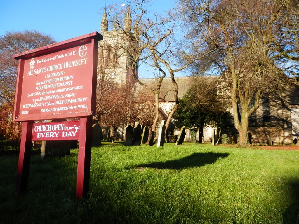
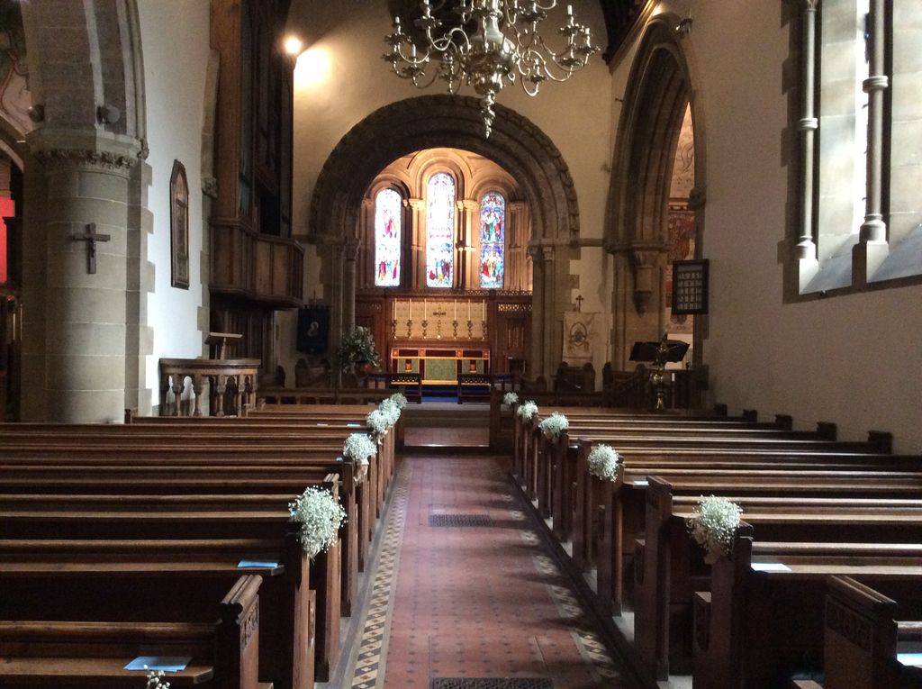
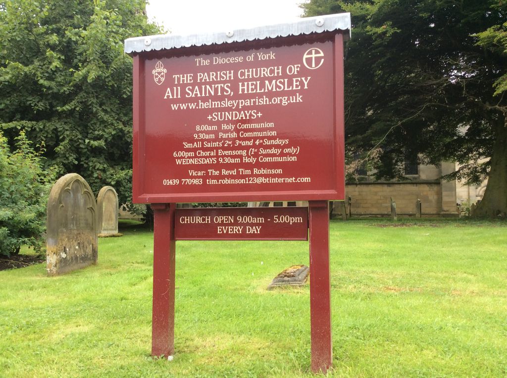
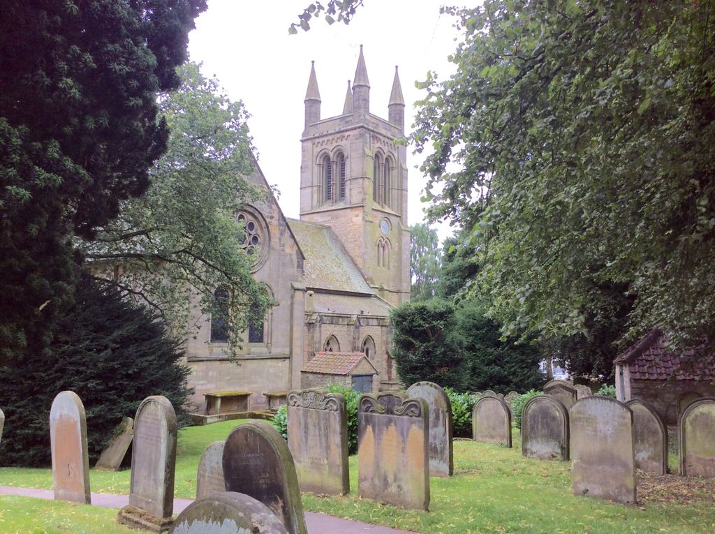
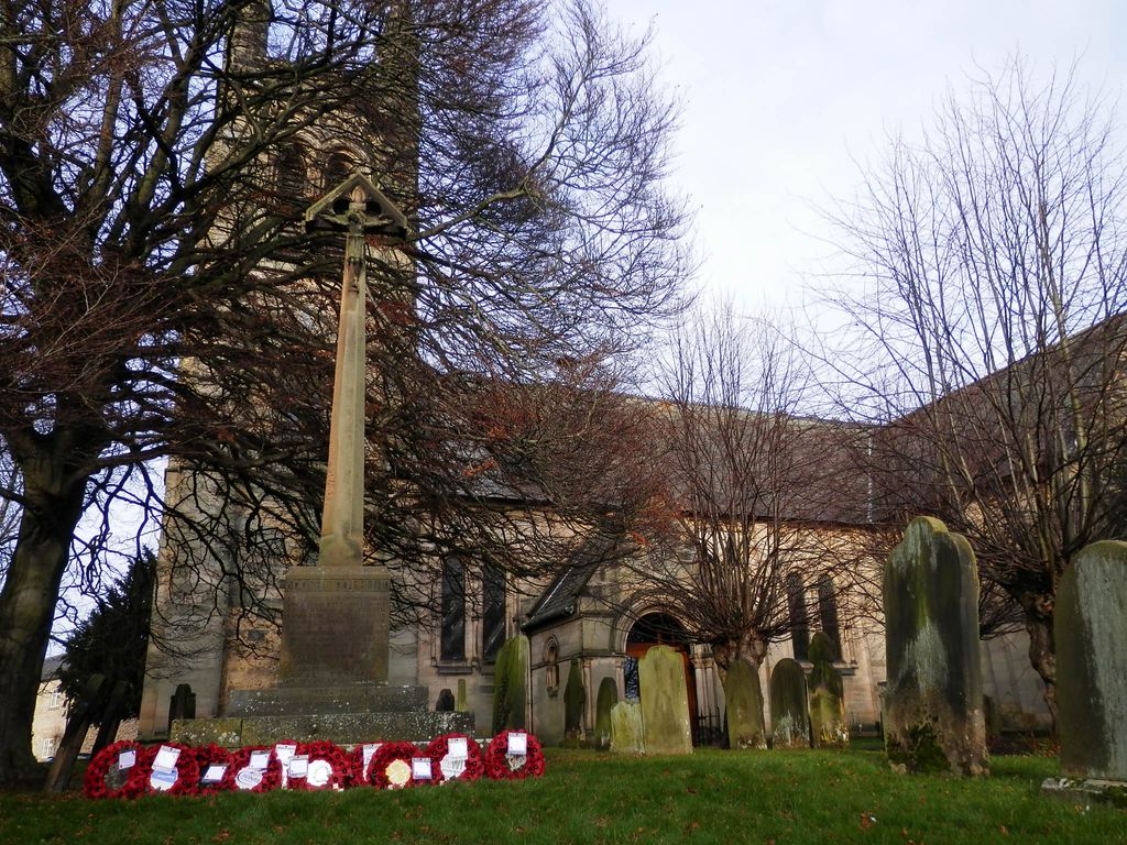
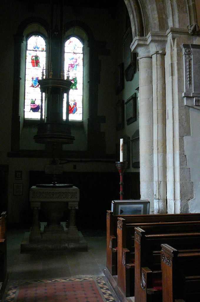
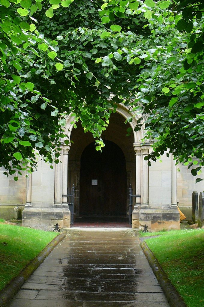
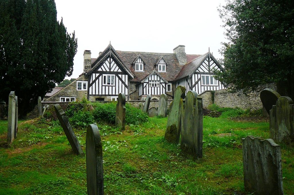
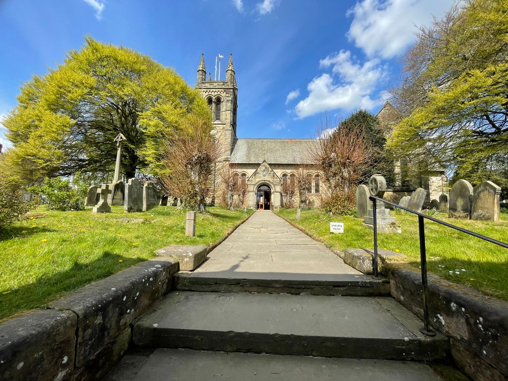
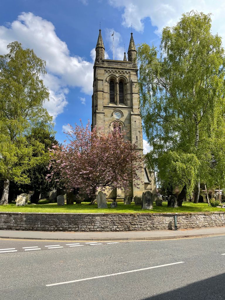
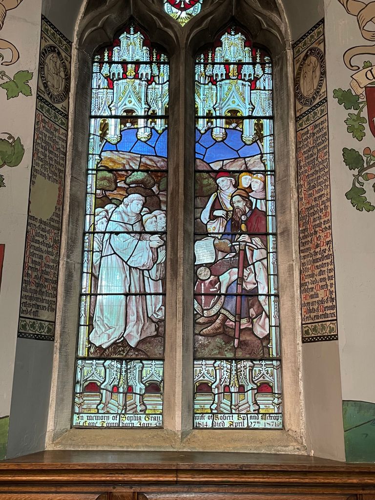
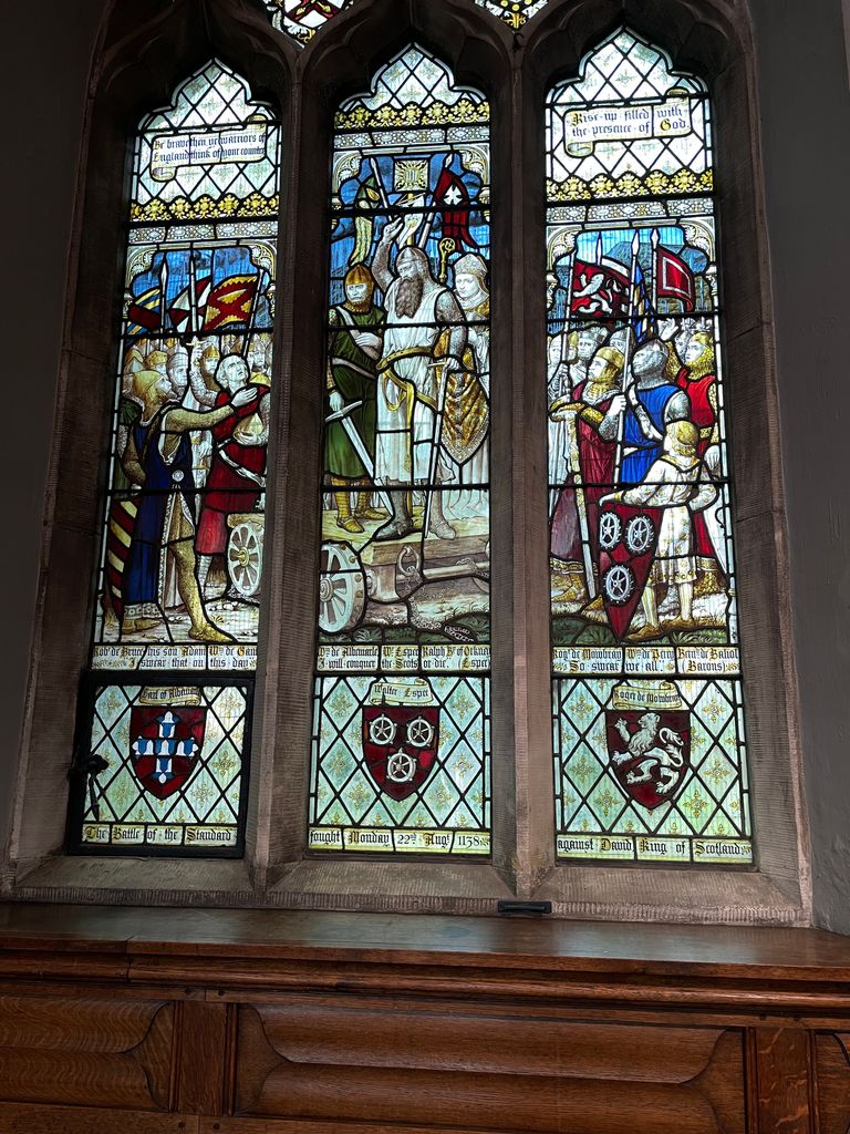
| Description | : | The Church of All Saints is an Anglican parish church serving the town of Helmsley in North Yorkshire, England. It is located between the north-west corner of the market square, and Castlegate, on the B1257 road north of Helmsley Castle. Dedicated to All Saints, it has been part of the Church of England since the Reformation. The church was granted Grade II* listed building status on 4 January 1955. Although the church is still in use for services, including funerals, interments now take place at the nearby Helmsley Town Council Cemetery. |
frequently asked questions (FAQ):
-
Where is All Saints Churchyard?
All Saints Churchyard is located at Helmsley, Ryedale District ,North Yorkshire ,England.
-
All Saints Churchyard cemetery's updated grave count on graveviews.com?
23 memorials
-
Where are the coordinates of the All Saints Churchyard?
Latitude: 54.2469000
Longitude: -1.0625000
Nearby Cemetories:
1. Helmsley Town Cemetery
Helmsley, Ryedale District, England
Coordinate: 54.2483300, -1.0620300
2. Rievaulx Abbey
Helmsley, Ryedale District, England
Coordinate: 54.2449170, -1.0639570
3. Harome Village Cemetery
Harome, Ryedale District, England
Coordinate: 54.2308650, -1.0096380
4. St Saviour Churchyard
Harome, Ryedale District, England
Coordinate: 54.2302000, -1.0088000
5. St Oswald Churchyard
Oswaldkirk, Ryedale District, England
Coordinate: 54.2022340, -1.0495510
6. Ampleforth Abbey - Monk's Wood
Ampleforth, Ryedale District, England
Coordinate: 54.2028689, -1.0841344
7. Ampleforth Abbey
Ampleforth, Ryedale District, England
Coordinate: 54.2019630, -1.0838000
8. Our Lady & St Benedict RC Churchyard
Ampleforth, Ryedale District, England
Coordinate: 54.2009700, -1.1055400
9. St Hilda Churchyard
Ampleforth, Ryedale District, England
Coordinate: 54.2000630, -1.1075590
10. Ampleforth Friends Burial Ground
Ampleforth, Ryedale District, England
Coordinate: 54.2023420, -1.1213330
11. Saint Mary’s Churchyard
Scawton, Ryedale District, England
Coordinate: 54.2451000, -1.1591000
12. All Saints Churchyard
Old Byland, Ryedale District, England
Coordinate: 54.2663000, -1.1558000
13. St Gregory Minster Churchyard Extension
Nawton, Ryedale District, England
Coordinate: 54.2628100, -0.9629100
14. St. Gregory's Minster Churchyard
Kirkdale, Ryedale District, England
Coordinate: 54.2628300, -0.9622613
15. St Gregory Minster Churchyard
Nawton, Ryedale District, England
Coordinate: 54.2627570, -0.9621910
16. Gilling New Churchyard
Gilling East, Ryedale District, England
Coordinate: 54.1856070, -1.0559535
17. Holy Cross Churchyard
Gilling East, Ryedale District, England
Coordinate: 54.1841290, -1.0580460
18. All Saints and St James Church
Nunnington, Ryedale District, England
Coordinate: 54.2031000, -0.9806000
19. Stonegrave Minster Churchyard
Stonegrave, Ryedale District, England
Coordinate: 54.1925011, -0.9966000
20. St Michael Churchyard
Cold Kirby, Ryedale District, England
Coordinate: 54.2534580, -1.1827120
21. Byland Abbey
Coxwold, Hambleton District, England
Coordinate: 54.2034480, -1.1589660
22. All Saints Churchyard
Kirkbymoorside, Ryedale District, England
Coordinate: 54.2703470, -0.9310110
23. St. Michael and All Angels Churchyard
Edstone, Ryedale District, England
Coordinate: 54.2469000, -0.9188000
24. All Saints Churchyard
Hawnby, Ryedale District, England
Coordinate: 54.3000380, -1.1770300

