
| Memorials | : | 1 |
| Location | : | Bulwick, East Northamptonshire Borough, England |
| Coordinate | : | 52.5376000, -0.5818000 |
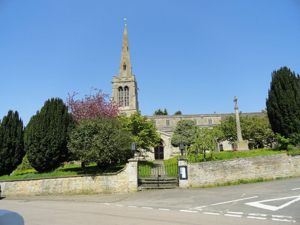
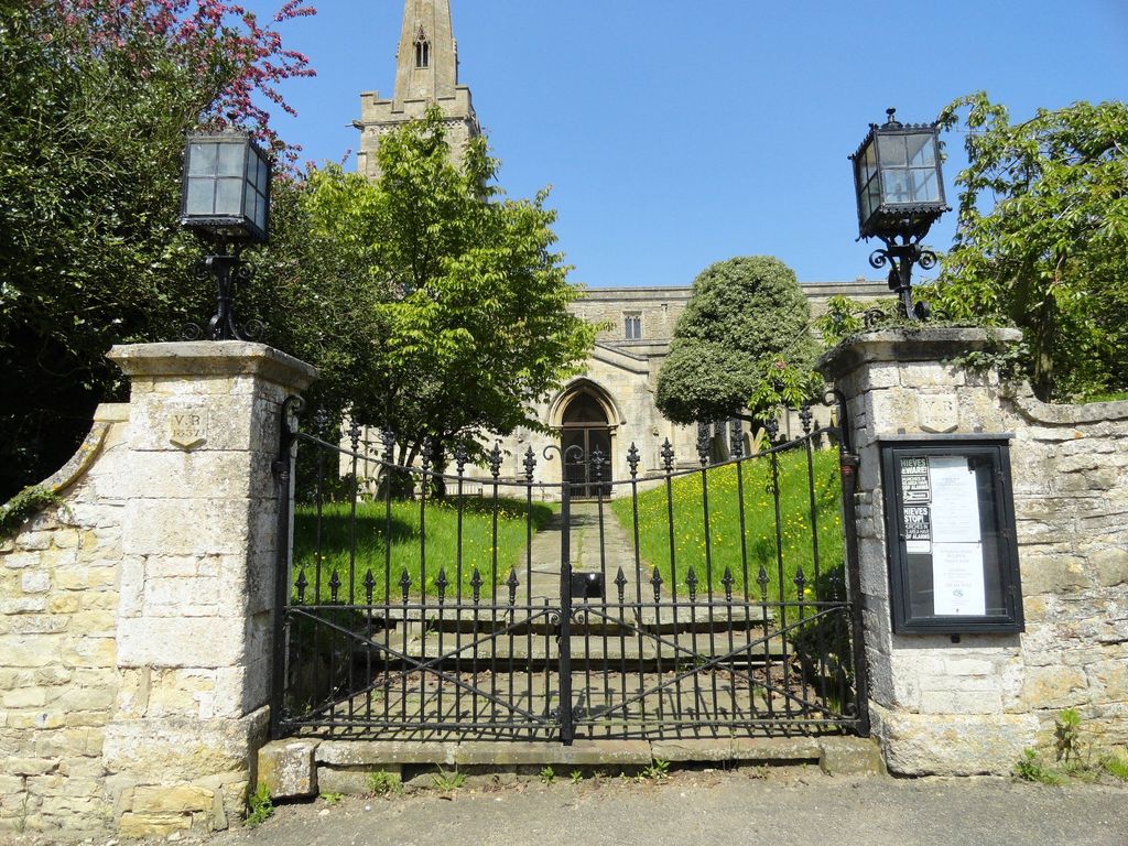
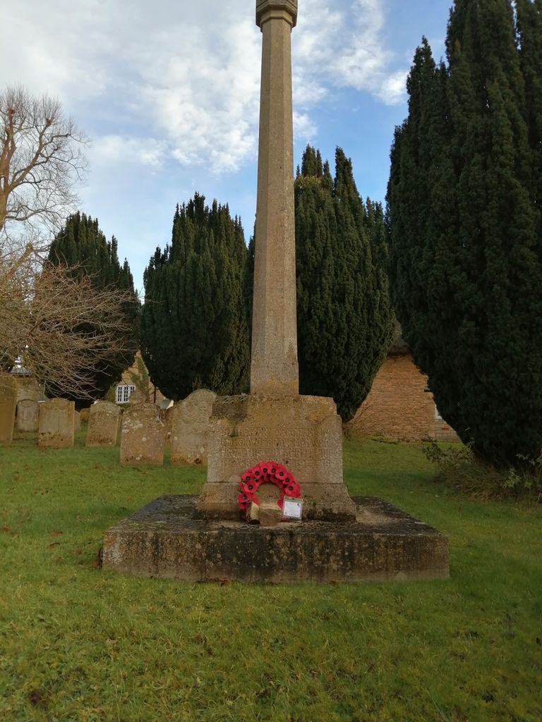
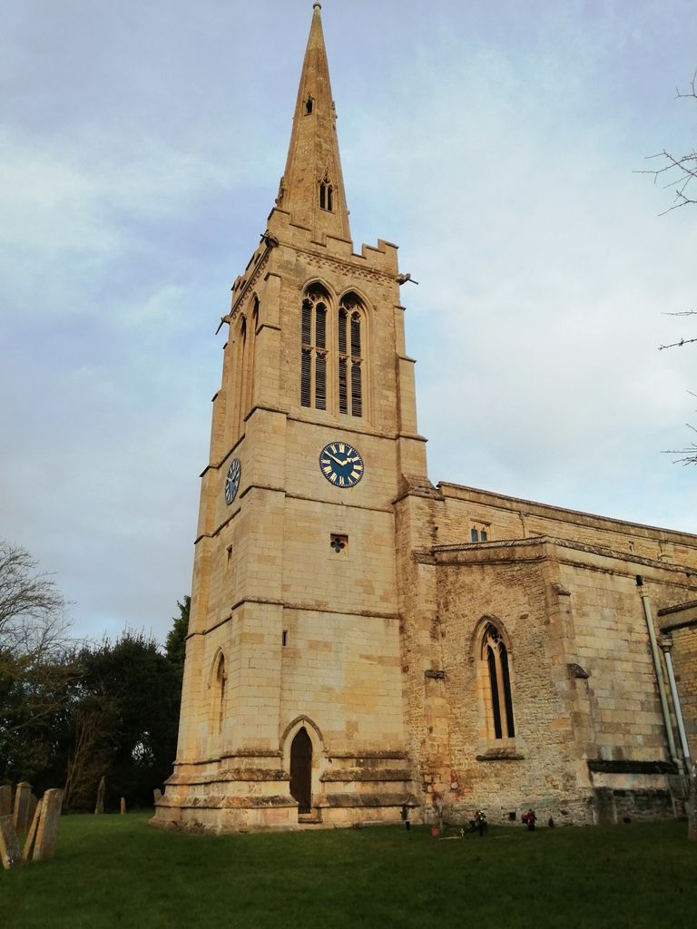
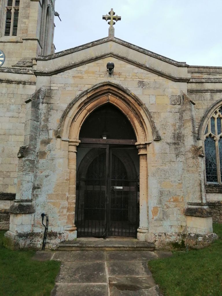
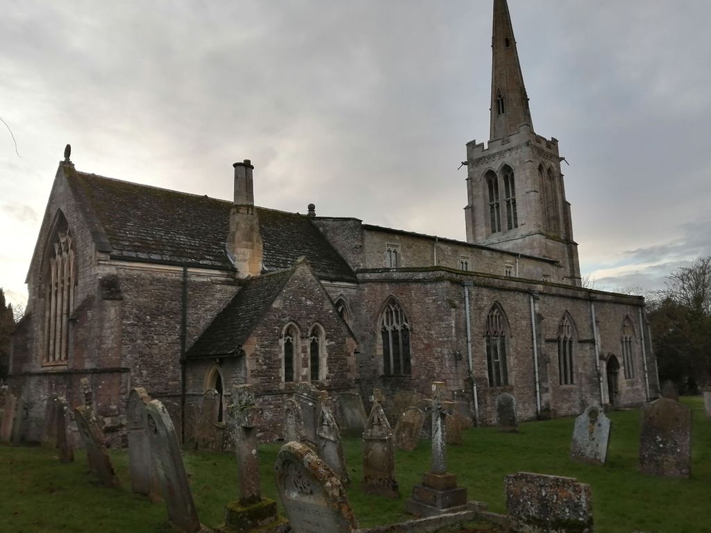
| Description | : | St Nicholas Church, situated in Bulwick, is the parish church of Bulwick and Blatherwycke. Neighbouring Holy Trinity Church in Blatherwycke was made redundant in 1976 and the then separate Ecclesiastical Parishes of Bulwick and Blatherwycke were merged to form the single Ecclesiastical Parish of Bulwick and Blatherwycke. There are memorials inside the church to the Tryon family and likewise in the churchyard there are headstones bearing the Tryon and Cant surnames amongst other surnames. Some of the headstones are quite weather worn but should be mostly legible using the right amount of light. |
frequently asked questions (FAQ):
-
Where is St. Nicholas' Churchyard?
St. Nicholas' Churchyard is located at Bulwick, East Northamptonshire Borough ,Northamptonshire , NN17 3DYEngland.
-
St. Nicholas' Churchyard cemetery's updated grave count on graveviews.com?
1 memorials
-
Where are the coordinates of the St. Nicholas' Churchyard?
Latitude: 52.5376000
Longitude: -0.5818000
Nearby Cemetories:
1. Saint Peter's Churchyard
Deene, East Northamptonshire Borough, England
Coordinate: 52.5242490, -0.5984740
2. Holy Trinity Churchyard
Blatherwycke, East Northamptonshire Borough, England
Coordinate: 52.5514375, -0.5646654
3. Deene Park
Deene, East Northamptonshire Borough, England
Coordinate: 52.5242960, -0.6010350
4. All Saints Churchyard
Laxton, East Northamptonshire Borough, England
Coordinate: 52.5535760, -0.5992450
5. Church of Saint John the Baptist
Wakerley, East Northamptonshire Borough, England
Coordinate: 52.5817323, -0.5929850
6. All Saints Churchyard
Kings Cliffe, East Northamptonshire Borough, England
Coordinate: 52.5622450, -0.5160080
7. Kings Cliffe Cemetery
Kings Cliffe, East Northamptonshire Borough, England
Coordinate: 52.5605586, -0.5102005
8. Saint John The Baptist Churchyard
Harringworth, East Northamptonshire Borough, England
Coordinate: 52.5671000, -0.6491000
9. St. Peter's Churchyard
Barrowden, Rutland Unitary Authority, England
Coordinate: 52.5888800, -0.6063600
10. St. Mary Churchyard
Benefield, East Northamptonshire Borough, England
Coordinate: 52.4854100, -0.5460660
11. St Leonard Churchyard
Apethorpe, East Northamptonshire Borough, England
Coordinate: 52.5495140, -0.4899340
12. St. James Churchyard
Gretton, Corby Borough, England
Coordinate: 52.5403000, -0.6763400
13. St Mary Churchyard
Woodnewton, East Northamptonshire Borough, England
Coordinate: 52.5392210, -0.4795790
14. All Hallows Churchyard
Seaton, Rutland Unitary Authority, England
Coordinate: 52.5745730, -0.6670810
15. Church of St Mary
Duddington, East Northamptonshire Borough, England
Coordinate: 52.5969190, -0.5432540
16. St Leonard's Churchyard
Glapthorn, East Northamptonshire Borough, England
Coordinate: 52.5001397, -0.4924849
17. St Mary the Virgin Churchyard
Morcott, Rutland Unitary Authority, England
Coordinate: 52.5967800, -0.6366200
18. St Mary the Virgin Churchyard
South Luffenham, Rutland Unitary Authority, England
Coordinate: 52.6067200, -0.6114100
19. Collyweston Cemetery
Collyweston, East Northamptonshire Borough, England
Coordinate: 52.6115580, -0.5319430
20. St. Andrew's Churchyard
Glaston, Rutland Unitary Authority, England
Coordinate: 52.5953628, -0.6781534
21. Shire Lodge Cemetery
Corby, Corby Borough, England
Coordinate: 52.5073610, -0.7084990
22. St. Andrew's Churchyard
Collyweston, East Northamptonshire Borough, England
Coordinate: 52.6151719, -0.5303754
23. Brigstock Parish Cemetery
Brigstock, East Northamptonshire Borough, England
Coordinate: 52.4552481, -0.6061781
24. Oundle Cemetery
Oundle, East Northamptonshire Borough, England
Coordinate: 52.4799120, -0.4803840