
| Memorials | : | 0 |
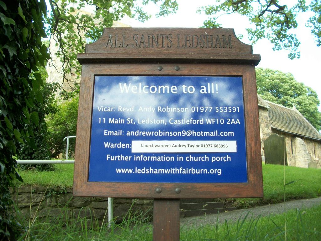
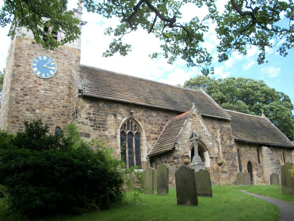
| Location | : | Ledsham, Metropolitan Borough of Leeds, England |
| Coordinate | : | 53.7622160, -1.3091920 |
frequently asked questions (FAQ):
-
Where is All Saints Churchyard?
All Saints Churchyard is located at Claypit Lane Ledsham, Metropolitan Borough of Leeds ,West Yorkshire , LS25 5LREngland.
-
All Saints Churchyard cemetery's updated grave count on graveviews.com?
0 memorials
-
Where are the coordinates of the All Saints Churchyard?
Latitude: 53.7622160
Longitude: -1.3091920
Nearby Cemetories:
1. St James Churchyard
Fairburn, Selby District, England
Coordinate: 53.7426700, -1.2841000
2. St. Peter's Churchyard
Fryston, Metropolitan Borough of Wakefield, England
Coordinate: 53.7355400, -1.3151100
3. St Mary the Virgin Churchyard
South Milford, Selby District, England
Coordinate: 53.7771700, -1.2547300
4. St Mary the Virgin Churchyard
Kippax, Metropolitan Borough of Leeds, England
Coordinate: 53.7676520, -1.3686680
5. St. Mary the Virgin Churchyard
Micklefield, Metropolitan Borough of Leeds, England
Coordinate: 53.7971300, -1.3313700
6. St Mary the Less Churchyard
Allerton Bywater, Metropolitan Borough of Leeds, England
Coordinate: 53.7452000, -1.3673620
7. Castleford New Extension Cemetery
Castleford, Metropolitan Borough of Wakefield, England
Coordinate: 53.7277600, -1.3391000
8. Castleford Old Cemetery
Castleford, Metropolitan Borough of Wakefield, England
Coordinate: 53.7269200, -1.3390300
9. Castleford New Cemetery
Castleford, Metropolitan Borough of Wakefield, England
Coordinate: 53.7259920, -1.3380580
10. Brotherton United Reformed Church
Brotherton, Selby District, England
Coordinate: 53.7277104, -1.2698131
11. St Edward the Confessor Churchyard
Brotherton, Selby District, England
Coordinate: 53.7259200, -1.2709600
12. St Wilfrid’s Churchyard
Monk Fryston, Selby District, England
Coordinate: 53.7618300, -1.2349700
13. All Saints Churchyard
Sherburn-in-Elmet, Selby District, England
Coordinate: 53.7956000, -1.2605740
14. All Saints Churchyard
Castleford, Metropolitan Borough of Wakefield, England
Coordinate: 53.7264590, -1.3563080
15. Monk Fryston Cemetery
Monk Fryston, Selby District, England
Coordinate: 53.7604400, -1.2291700
16. St. Andrew's Old Churchyard
Ferrybridge, Metropolitan Borough of Wakefield, England
Coordinate: 53.7193380, -1.2748540
17. Garforth Cemetery
Garforth, Metropolitan Borough of Leeds, England
Coordinate: 53.7915382, -1.3770570
18. St. Mary the Virgin Churchyard
Garforth, Metropolitan Borough of Leeds, England
Coordinate: 53.7926270, -1.3788540
19. Ferrybridge Cemetery
Ferrybridge, Metropolitan Borough of Wakefield, England
Coordinate: 53.7102530, -1.2795200
20. Lotherton Hall Chapel
Leeds, Metropolitan Borough of Leeds, England
Coordinate: 53.8186380, -1.3189740
21. Whitwood Cemetery
Castleford, Metropolitan Borough of Wakefield, England
Coordinate: 53.7181510, -1.3746570
22. St. Botolph Churchyard
Knottingley, Metropolitan Borough of Wakefield, England
Coordinate: 53.7108080, -1.2441680
23. St Mary Churchyard
Swillington, Metropolitan Borough of Leeds, England
Coordinate: 53.7689620, -1.4173580
24. St John's Priory of Pontefract
Pontefract, Metropolitan Borough of Wakefield, England
Coordinate: 53.6978050, -1.2987420