
| Memorials | : | 20 |
| Location | : | Parsons, Decatur County, USA |
| Coordinate | : | 35.7025880, -88.1425340 |
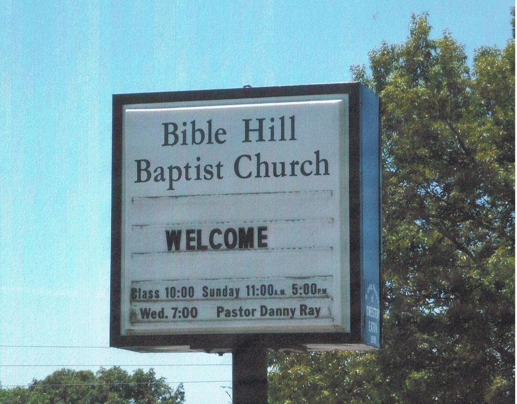
| Description | : | From the intersection of E Main St & Tenn. Ave., in Parson, travel west on E Main St. for 0.2 mi., turning north (right) onto Bible Hill Rd., going 4.8 mi., continuing 150 yd. to the cemetery on the south (right) side of the road. Bible Hill Cemetery is located across the road from Bible Hill Baptist Church. The cemetery is indicated on the U.S.G.S. Parsons quadrangle (1986). The cemetery is very well maintained. |
frequently asked questions (FAQ):
-
Where is Bible Hill Church Cemetery?
Bible Hill Church Cemetery is located at Russ Long Road Parsons, Decatur County ,Tennessee , 38363USA.
-
Bible Hill Church Cemetery cemetery's updated grave count on graveviews.com?
20 memorials
-
Where are the coordinates of the Bible Hill Church Cemetery?
Latitude: 35.7025880
Longitude: -88.1425340
Nearby Cemetories:
1. Long Cemetery
Decatur County, USA
Coordinate: 35.7032430, -88.1356640
2. Hill Cemetery
Parsons, Decatur County, USA
Coordinate: 35.6914190, -88.1505980
3. Hays Cemetery
Bible Hill, Decatur County, USA
Coordinate: 35.6914070, -88.1505910
4. Gabbard Cemetery
Parsons, Decatur County, USA
Coordinate: 35.6875340, -88.1507260
5. Arnold Cemetery
Decatur County, USA
Coordinate: 35.7210999, -88.1417007
6. McMurry Cemetery
Parsons, Decatur County, USA
Coordinate: 35.6864650, -88.1294860
7. Stills Cemetery
Parsons, Decatur County, USA
Coordinate: 35.6848660, -88.1269820
8. Cheney Cemetery
Parsons, Decatur County, USA
Coordinate: 35.7219840, -88.1262170
9. Hawkes Cemetery
Parsons, Decatur County, USA
Coordinate: 35.7190470, -88.1657000
10. Box Cemetery
Decatur County, USA
Coordinate: 35.7069016, -88.1733017
11. Hendrix Cemetery
Bible Hill, Decatur County, USA
Coordinate: 35.7293220, -88.1518250
12. Apostolic Church of Jesus Christ Cemetery
Parsons, Decatur County, USA
Coordinate: 35.6871480, -88.1106520
13. Decatur County Memorial Gardens
Parsons, Decatur County, USA
Coordinate: 35.6838580, -88.1127480
14. Walker Cemetery
Parsons, Decatur County, USA
Coordinate: 35.7120360, -88.1066540
15. Cross Roads Church Cemetery
Parsons, Decatur County, USA
Coordinate: 35.6814030, -88.1150360
16. Jennings Cemetery
Parsons, Decatur County, USA
Coordinate: 35.7191020, -88.1053980
17. Bowman Cemetery
Jeannette, Decatur County, USA
Coordinate: 35.7317350, -88.1147700
18. Moore Chapel Cemetery
Jeannette, Decatur County, USA
Coordinate: 35.7302250, -88.1059110
19. Gulledge Cemetery
Decatur County, USA
Coordinate: 35.7392006, -88.1643982
20. Stephen Roberson Gravesite
Darden, Henderson County, USA
Coordinate: 35.7097750, -88.1919380
21. Houston Cemetery
Parsons, Decatur County, USA
Coordinate: 35.7037230, -88.0904280
22. Lewis Family Cemetery
Jeannette, Decatur County, USA
Coordinate: 35.7422500, -88.1117700
23. Jeanette Cemetery
Jeannette, Decatur County, USA
Coordinate: 35.7378370, -88.1004330
24. Mount Ararat Cemetery
Darden, Henderson County, USA
Coordinate: 35.6907997, -88.2031021