
| Memorials | : | 114 |
| Location | : | Jeannette, Decatur County, USA |
| Coordinate | : | 35.7378370, -88.1004330 |
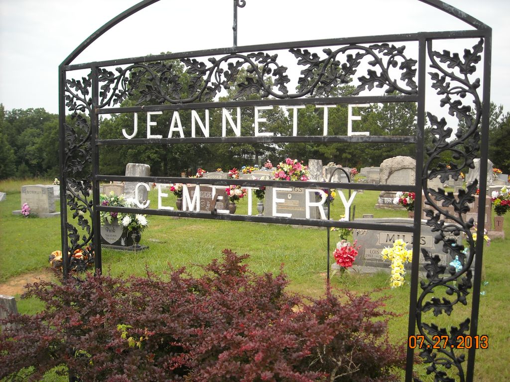
| Description | : | This cemetery, located just off US-641 in the Jeannette community, traditionally has been called 'Salem Cemetery' after the nearby Salem Baptist Church. The cemetery was established circa 1900 and largely super-ceded the Suttles Chapel, as the primary cemetery in the area after World War I. The cemetery is indicated on the U.S.G.S. Jeannette quadrangle (1986). In recent years a gate has been erected with the more historical name "Jeannette Cemetery". There are 16 graves marked with fieldstones, 6 graves marked by other various means, but not identified, and about 6 depressions, which may indicate burials. David Donahue recorded this... Read More |
frequently asked questions (FAQ):
-
Where is Jeanette Cemetery?
Jeanette Cemetery is located at 105 JeanetteHolladay Road Jeannette, Decatur County ,Tennessee ,USA.
-
Jeanette Cemetery cemetery's updated grave count on graveviews.com?
114 memorials
-
Where are the coordinates of the Jeanette Cemetery?
Latitude: 35.7378370
Longitude: -88.1004330
Nearby Cemetories:
1. Moore Chapel Cemetery
Jeannette, Decatur County, USA
Coordinate: 35.7302250, -88.1059110
2. Lewis Family Cemetery
Jeannette, Decatur County, USA
Coordinate: 35.7422500, -88.1117700
3. Bowman Cemetery
Jeannette, Decatur County, USA
Coordinate: 35.7317350, -88.1147700
4. Suttles Chapel Cemetery
Parsons, Decatur County, USA
Coordinate: 35.7562710, -88.1063310
5. Jennings Cemetery
Parsons, Decatur County, USA
Coordinate: 35.7191020, -88.1053980
6. Cheney Cemetery
Parsons, Decatur County, USA
Coordinate: 35.7219840, -88.1262170
7. Walker Cemetery
Parsons, Decatur County, USA
Coordinate: 35.7120360, -88.1066540
8. Stills Cemetery
Yellow Springs, Decatur County, USA
Coordinate: 35.7577960, -88.1301680
9. Bawcum Cemetery
Cozette, Decatur County, USA
Coordinate: 35.7696770, -88.0826580
10. Houston Cemetery
Parsons, Decatur County, USA
Coordinate: 35.7037230, -88.0904280
11. Oak Grove Church Cemetery
Sugar Tree, Decatur County, USA
Coordinate: 35.7592360, -88.0661490
12. Walker Cemetery
Decatur County, USA
Coordinate: 35.7153015, -88.0658035
13. Arnold Cemetery
Decatur County, USA
Coordinate: 35.7210999, -88.1417007
14. Wilkins Cemetery
Parsons, Decatur County, USA
Coordinate: 35.7051000, -88.0772050
15. Gibson Cemetery
Yellow Springs, Decatur County, USA
Coordinate: 35.7585700, -88.1412850
16. Miller Cemetery
Decatur County, USA
Coordinate: 35.7321990, -88.0489400
17. Cub Creek Hall Cemetery
Parsons, Decatur County, USA
Coordinate: 35.7529410, -88.1492770
18. Hendrix Cemetery
Bible Hill, Decatur County, USA
Coordinate: 35.7293220, -88.1518250
19. Long Cemetery
Decatur County, USA
Coordinate: 35.7032430, -88.1356640
20. Bawcum Cemetery
Akins Chapel, Decatur County, USA
Coordinate: 35.7823020, -88.0856120
21. Bible Hill Church Cemetery
Parsons, Decatur County, USA
Coordinate: 35.7025880, -88.1425340
22. Hendrix Cemetery
Decatur County, USA
Coordinate: 35.7481003, -88.0391998
23. Hendrix Cemetery
Cozette, Decatur County, USA
Coordinate: 35.7481130, -88.0387250
24. Apostolic Church of Jesus Christ Cemetery
Parsons, Decatur County, USA
Coordinate: 35.6871480, -88.1106520