| Memorials | : | 0 |
| Location | : | Jeannette, Decatur County, USA |
| Coordinate | : | 35.7422500, -88.1117700 |
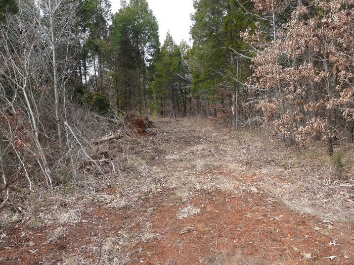
| Description | : | From Jeannette Holladay Rd., just off US-641, there is a private driveway/road starting on the north side of the Salem Baptist Church that leads northwest for more than half mile. When it makes a 90 degree turn towards the northeast, the cemetery is westerly from that point, on the top of the hill in the woods, about 300 yards from the driveway. (see also notes included with photo.) Located in the Jeannette Community on property of James Gibson, who served as our guide. Without him our efforts in locating this graveyard would have been lost. We followed a... Read More |
frequently asked questions (FAQ):
-
Where is Lewis Family Cemetery?
Lewis Family Cemetery is located at Jeannette Holladay Road Jeannette, Decatur County ,Tennessee ,USA.
-
Lewis Family Cemetery cemetery's updated grave count on graveviews.com?
0 memorials
-
Where are the coordinates of the Lewis Family Cemetery?
Latitude: 35.7422500
Longitude: -88.1117700
Nearby Cemetories:
1. Jeanette Cemetery
Jeannette, Decatur County, USA
Coordinate: 35.7378370, -88.1004330
2. Bowman Cemetery
Jeannette, Decatur County, USA
Coordinate: 35.7317350, -88.1147700
3. Moore Chapel Cemetery
Jeannette, Decatur County, USA
Coordinate: 35.7302250, -88.1059110
4. Suttles Chapel Cemetery
Parsons, Decatur County, USA
Coordinate: 35.7562710, -88.1063310
5. Stills Cemetery
Yellow Springs, Decatur County, USA
Coordinate: 35.7577960, -88.1301680
6. Cheney Cemetery
Parsons, Decatur County, USA
Coordinate: 35.7219840, -88.1262170
7. Jennings Cemetery
Parsons, Decatur County, USA
Coordinate: 35.7191020, -88.1053980
8. Gibson Cemetery
Yellow Springs, Decatur County, USA
Coordinate: 35.7585700, -88.1412850
9. Walker Cemetery
Parsons, Decatur County, USA
Coordinate: 35.7120360, -88.1066540
10. Arnold Cemetery
Decatur County, USA
Coordinate: 35.7210999, -88.1417007
11. Cub Creek Hall Cemetery
Parsons, Decatur County, USA
Coordinate: 35.7529410, -88.1492770
12. Hendrix Cemetery
Bible Hill, Decatur County, USA
Coordinate: 35.7293220, -88.1518250
13. Bawcum Cemetery
Cozette, Decatur County, USA
Coordinate: 35.7696770, -88.0826580
14. Oak Grove Church Cemetery
Sugar Tree, Decatur County, USA
Coordinate: 35.7592360, -88.0661490
15. Houston Cemetery
Parsons, Decatur County, USA
Coordinate: 35.7037230, -88.0904280
16. Gulledge Cemetery
Decatur County, USA
Coordinate: 35.7392006, -88.1643982
17. Long Cemetery
Decatur County, USA
Coordinate: 35.7032430, -88.1356640
18. Bawcum Cemetery
Akins Chapel, Decatur County, USA
Coordinate: 35.7823020, -88.0856120
19. Walker Cemetery
Decatur County, USA
Coordinate: 35.7153015, -88.0658035
20. Wilkins Cemetery
Parsons, Decatur County, USA
Coordinate: 35.7051000, -88.0772050
21. Bible Hill Church Cemetery
Parsons, Decatur County, USA
Coordinate: 35.7025880, -88.1425340
22. Hawkes Cemetery
Parsons, Decatur County, USA
Coordinate: 35.7190470, -88.1657000
23. Miller Cemetery
Decatur County, USA
Coordinate: 35.7321990, -88.0489400
24. Apostolic Church of Jesus Christ Cemetery
Parsons, Decatur County, USA
Coordinate: 35.6871480, -88.1106520

