
| Memorials | : | 0 |
| Location | : | Adamsville, McNairy County, USA |
| Coordinate | : | 35.3156050, -88.4795500 |
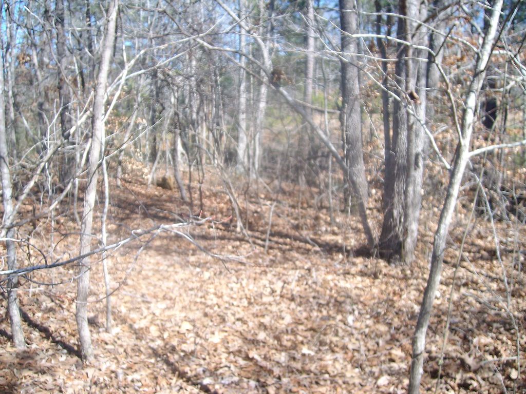
| Description | : | From the intersection of TN-199 W & TN-224 S, NW of Adamsville, travel northwest on TN-199 W for 1.5 mi. to the cemetery on the south (left) side of the road in a wooded area about 50' from the highway. The cemetery appears to be deeded & mapped, but just not accurately located. |
frequently asked questions (FAQ):
-
Where is Blakeley Cemetery?
Blakeley Cemetery is located at 10709 TN-199 Adamsville, McNairy County ,Tennessee ,USA.
-
Blakeley Cemetery cemetery's updated grave count on graveviews.com?
0 memorials
-
Where are the coordinates of the Blakeley Cemetery?
Latitude: 35.3156050
Longitude: -88.4795500
Nearby Cemetories:
1. Baucum Cemetery (Defunct)
McNairy County, USA
Coordinate: 35.3302994, -88.4935989
2. Mars Hill Cemetery
Adamsville, McNairy County, USA
Coordinate: 35.2954310, -88.4607290
3. Alexander Cemetery
Finger, McNairy County, USA
Coordinate: 35.3029830, -88.5120090
4. Ingraham Cemetery
Finger, McNairy County, USA
Coordinate: 35.3266150, -88.5151560
5. Maggie Jones United Methodist Church Cemetery
Finger, McNairy County, USA
Coordinate: 35.3291700, -88.5166300
6. Rocky Knob Church Cemetery
Finger, McNairy County, USA
Coordinate: 35.3541985, -88.4783020
7. Wharton Cemetery
Purdy, McNairy County, USA
Coordinate: 35.2898140, -88.5192220
8. Hardin Cemetery
Adamsville, McNairy County, USA
Coordinate: 35.3231010, -88.4285965
9. Hendrix Cemetery
Finger, McNairy County, USA
Coordinate: 35.3189590, -88.5338280
10. Plunk Cemetery
Finger, McNairy County, USA
Coordinate: 35.3382988, -88.5333023
11. O'Neal Cemetery
McNairy County, USA
Coordinate: 35.3671410, -88.4553990
12. Winding Ridge Cemetery
Adamsville, McNairy County, USA
Coordinate: 35.2895770, -88.4190540
13. Good Hope Cemetery
Adamsville, McNairy County, USA
Coordinate: 35.2552986, -88.4888992
14. Union Grove East Cemetery
Adamsville, McNairy County, USA
Coordinate: 35.2491989, -88.4719009
15. Dunn Cemetery
Bethel Springs, McNairy County, USA
Coordinate: 35.2666290, -88.5355270
16. Hopewell Church Cemetery
Finger, McNairy County, USA
Coordinate: 35.3758011, -88.5203018
17. Lanes Chapel Cemetery
Finger, McNairy County, USA
Coordinate: 35.3312510, -88.5639110
18. Mud Creek Cemetery
Adamsville, McNairy County, USA
Coordinate: 35.3072870, -88.3929300
19. Woolverton Cemetery
McNairy County, USA
Coordinate: 35.2682991, -88.4113998
20. Beauty Hill Church Cemetery
Purdy, McNairy County, USA
Coordinate: 35.2621840, -88.5426830
21. Mount Zion Cemetery
Milledgeville, McNairy County, USA
Coordinate: 35.3574982, -88.4036026
22. Mount Zion Cemetery
Adamsville, McNairy County, USA
Coordinate: 35.3576680, -88.4036580
23. Beaty Cemetery
Forty Forks, McNairy County, USA
Coordinate: 35.2901030, -88.5676270
24. Malone Cemetery
Finger, McNairy County, USA
Coordinate: 35.3602440, -88.5572960