
| Memorials | : | 0 |
| Location | : | Finger, McNairy County, USA |
| Coordinate | : | 35.3029830, -88.5120090 |
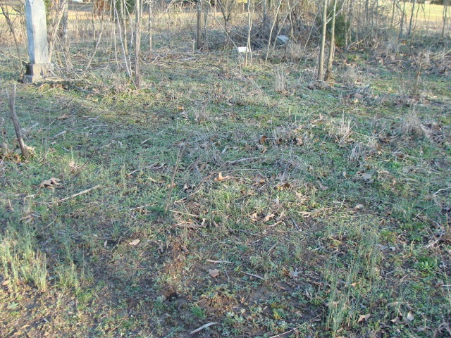
| Description | : | From the intersection of High Smith Rd. & TN-199 E, near the Maggie Jones Methodist Church, travel south on the N McCormick Rd for 1.5 mi.; turning S east (left) onto Weeks Rd., going 0.2 mi.; turning N east (left) to stay on Weeks Rd., going 0.7 mi.; turning south (right) onto Hollens Ln, going to the end & to the cemetery on the north (left) side of the roadway in a small fenced area. The cemetery is not maintained & appears to be deeded & mapped, but just not accurately located. |
frequently asked questions (FAQ):
-
Where is Alexander Cemetery?
Alexander Cemetery is located at Hollens Lane Finger, McNairy County ,Tennessee ,USA.
-
Alexander Cemetery cemetery's updated grave count on graveviews.com?
0 memorials
-
Where are the coordinates of the Alexander Cemetery?
Latitude: 35.3029830
Longitude: -88.5120090
Nearby Cemetories:
1. Wharton Cemetery
Purdy, McNairy County, USA
Coordinate: 35.2898140, -88.5192220
2. Ingraham Cemetery
Finger, McNairy County, USA
Coordinate: 35.3266150, -88.5151560
3. Hendrix Cemetery
Finger, McNairy County, USA
Coordinate: 35.3189590, -88.5338280
4. Maggie Jones United Methodist Church Cemetery
Finger, McNairy County, USA
Coordinate: 35.3291700, -88.5166300
5. Blakeley Cemetery
Adamsville, McNairy County, USA
Coordinate: 35.3156050, -88.4795500
6. Baucum Cemetery (Defunct)
McNairy County, USA
Coordinate: 35.3302994, -88.4935989
7. Plunk Cemetery
Finger, McNairy County, USA
Coordinate: 35.3382988, -88.5333023
8. Dunn Cemetery
Bethel Springs, McNairy County, USA
Coordinate: 35.2666290, -88.5355270
9. Mars Hill Cemetery
Adamsville, McNairy County, USA
Coordinate: 35.2954310, -88.4607290
10. Beaty Cemetery
Forty Forks, McNairy County, USA
Coordinate: 35.2901030, -88.5676270
11. Beauty Hill Church Cemetery
Purdy, McNairy County, USA
Coordinate: 35.2621840, -88.5426830
12. Lanes Chapel Cemetery
Finger, McNairy County, USA
Coordinate: 35.3312510, -88.5639110
13. Good Hope Cemetery
Adamsville, McNairy County, USA
Coordinate: 35.2552986, -88.4888992
14. Rocky Knob Church Cemetery
Finger, McNairy County, USA
Coordinate: 35.3541985, -88.4783020
15. Liberty Church Cemetery
Forty Forks, McNairy County, USA
Coordinate: 35.2770890, -88.5806060
16. Union Grove East Cemetery
Adamsville, McNairy County, USA
Coordinate: 35.2491989, -88.4719009
17. Rose Hill Cemetery
Forty Forks, McNairy County, USA
Coordinate: 35.2673800, -88.5787980
18. Malone Cemetery
Finger, McNairy County, USA
Coordinate: 35.3602440, -88.5572960
19. Hardin Cemetery
Adamsville, McNairy County, USA
Coordinate: 35.3231010, -88.4285965
20. Purdy Wisdom Cemetery
Purdy, McNairy County, USA
Coordinate: 35.2343230, -88.5341050
21. Anderson Slave Cemetery
Finger, McNairy County, USA
Coordinate: 35.3598000, -88.5659000
22. Hopewell Church Cemetery
Finger, McNairy County, USA
Coordinate: 35.3758011, -88.5203018
23. Purdy Wright Cemetery
Purdy, McNairy County, USA
Coordinate: 35.2306570, -88.5403730
24. Winding Ridge Cemetery
Adamsville, McNairy County, USA
Coordinate: 35.2895770, -88.4190540