
| Memorials | : | 0 |
| Location | : | Blija, Ferwerderadiel Municipality, Netherlands |
| Coordinate | : | 53.3511734, 5.8606162 |
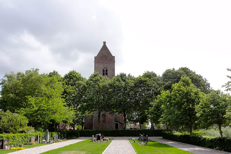
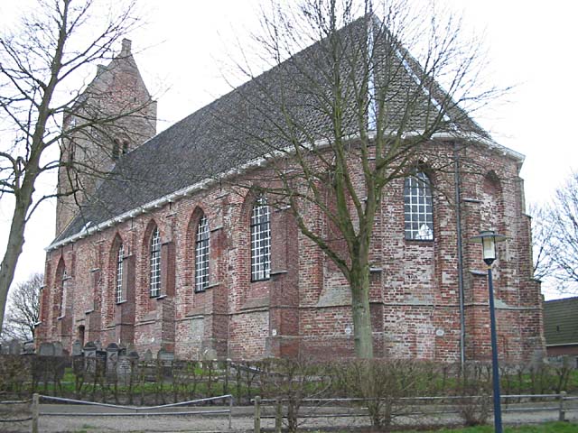
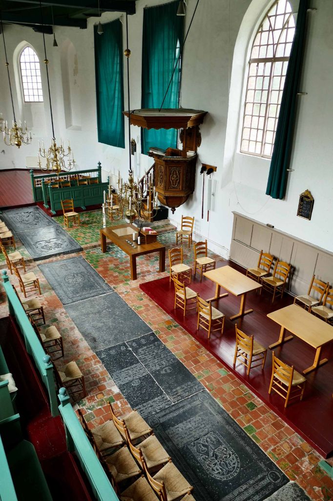
| Description | : | The Reformed Church of Blija, the surrounding churchyard is also known as the Protestant Churchyard. Located in: Blija Ferwerderadeel Friesland, NL |
frequently asked questions (FAQ):
-
Where is Blija Protestant Churchyard?
Blija Protestant Churchyard is located at Blija, Ferwerderadiel Municipality ,Friesland ,Netherlands.
-
Blija Protestant Churchyard cemetery's updated grave count on graveviews.com?
0 memorials
-
Where are the coordinates of the Blija Protestant Churchyard?
Latitude: 53.3511734
Longitude: 5.8606162


Nearby Cemetories:
1. Kerkhof Nederlands Hervormde kerk Hegebeintum
Hegebeintum, Ferwerderadiel Municipality, Netherlands
Coordinate: 53.3368479, 5.8498713
2. Ferwert Kerkhof
Ferwert, Ferwerderadiel Municipality, Netherlands
Coordinate: 53.3388900, 5.8237700
3. Atelierkerk
Ginnum, Ferwerderadiel Municipality, Netherlands
Coordinate: 53.3231763, 5.8745312
4. Holwerd Protestant Churchyard
Holwerd, Dongeradeel Municipality, Netherlands
Coordinate: 53.3710500, 5.8972200
5. Marrum Churchyard
Marrum, Ferwerderadiel Municipality, Netherlands
Coordinate: 53.3341522, 5.8117681
6. Petruskerkhof
Lichtaard, Ferwerderadiel Municipality, Netherlands
Coordinate: 53.3263379, 5.9135862
7. Westernijtsjerk Kerkhof
Westernijtsjerk, Ferwerderadiel Municipality, Netherlands
Coordinate: 53.3279795, 5.8003224
8. Tsjerkhôf Jannum
Jannum, Ferwerderadiel Municipality, Netherlands
Coordinate: 53.3126308, 5.9027619
9. Kerkhof Petruskerk
Wanswerd, Ferwerderadiel Municipality, Netherlands
Coordinate: 53.3009375, 5.8496879
10. Raard Protestant Churchyard
Raard, Dongeradeel Municipality, Netherlands
Coordinate: 53.3254600, 5.9444900
11. Hallum Protestant Churchyard
Hallum, Ferwerderadiel Municipality, Netherlands
Coordinate: 53.3070540, 5.7853420
12. Kloosterkapel begraafplaats
Sibrandahûs, Dantumadeel Municipality, Netherlands
Coordinate: 53.3111878, 5.9425346
13. Kerkhof Alexanderkerk Rinsumageest
Rinsumageest, Dantumadeel Municipality, Netherlands
Coordinate: 53.2959488, 5.9429579
14. Begraafplaats Aldtsjerk
Aldtsjerk, Tytsjerksteradiel Municipality, Netherlands
Coordinate: 53.2648500, 5.8887300
15. Akkerwoude Protestant Churchyard
Akkerwoude, Dantumadeel Municipality, Netherlands
Coordinate: 53.2909300, 5.9779800
16. Marijetsjerke Begraafplaats
Oenkerk, Tytsjerksteradiel Municipality, Netherlands
Coordinate: 53.2537643, 5.8927362
17. Sint-Vituskerk
Wyns, Tytsjerksteradiel Municipality, Netherlands
Coordinate: 53.2516880, 5.8322860
18. Sint-Vituskerk Churchyard
Wetzens, Dongeradeel Municipality, Netherlands
Coordinate: 53.3467450, 6.0345649
19. It Readtsjerkje hôf
Readtsjerk, Dantumadeel Municipality, Netherlands
Coordinate: 53.2562756, 5.9332706
20. Wierum Protestant Churchyard
Wierum, Dongeradeel Municipality, Netherlands
Coordinate: 53.4021700, 6.0155300
21. Damwoude General Cemetery
Damwâld, Dantumadeel Municipality, Netherlands
Coordinate: 53.2857700, 5.9996900
22. Kerkhof Johanneskerk
Britsum, Leeuwarderadeel Municipality, Netherlands
Coordinate: 53.2542998, 5.7855996
23. Nes General Cemetery
Nes, Ameland Municipality, Netherlands
Coordinate: 53.4481400, 5.7818800
24. Stiens Protestant Churchyard
Stiens, Leeuwarderadeel Municipality, Netherlands
Coordinate: 53.2624810, 5.7572899