| Memorials | : | 0 |
| Location | : | Hardin, Ray County, USA |
| Coordinate | : | 39.3291600, -93.8580600 |
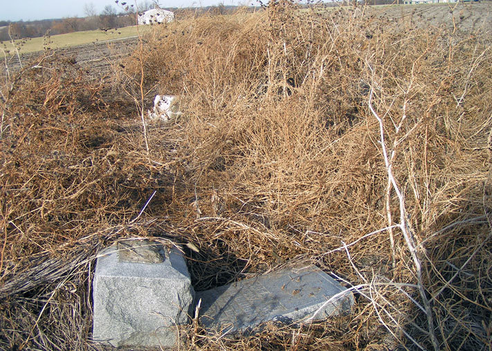
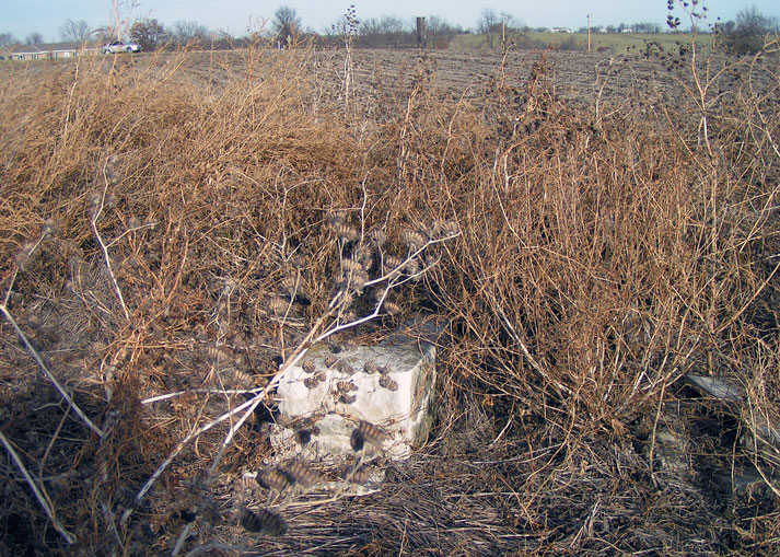
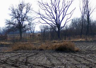
| Description | : | If you start at Richmond you take HWY 10 (east I believe) to Hardin. At Hardin take "A" HWY north to "E" HWY. Turn left onto "E" HWY. Once on "E" HWY look for a mail box on the left hand side numbered 13361. There is a small area to pull off the road and park. The cemetery is in the first clump of shrubs to the right of the mail box, the second would be the tree line and there is another clump to the left of the mail box) |
frequently asked questions (FAQ):
-
Where is Bohannon Cemetery?
Bohannon Cemetery is located at Hardin, Ray County ,Missouri ,USA.
-
Bohannon Cemetery cemetery's updated grave count on graveviews.com?
0 memorials
-
Where are the coordinates of the Bohannon Cemetery?
Latitude: 39.3291600
Longitude: -93.8580600
Nearby Cemetories:
1. Wakenda Cemetery
Hardin, Ray County, USA
Coordinate: 39.3519300, -93.8456900
2. Lavelock Cemetery
Hardin, Ray County, USA
Coordinate: 39.3078003, -93.8394012
3. Hickory Grove Cemetery
Richmond, Ray County, USA
Coordinate: 39.3288120, -93.9006293
4. Pugh Cemetery
Richmond, Ray County, USA
Coordinate: 39.3124800, -93.8968700
5. Forester Cemetery
Hardin, Ray County, USA
Coordinate: 39.3125700, -93.8079100
6. Woolard Cemetery
Hardin, Ray County, USA
Coordinate: 39.3769300, -93.8351500
7. Clark Cemetery
Hardin, Ray County, USA
Coordinate: 39.3499985, -93.7956009
8. Meinking-Wilson Cemetery
Ray County, USA
Coordinate: 39.3576200, -93.7995600
9. Berry Cemetery
Hardin, Ray County, USA
Coordinate: 39.3913800, -93.8710800
10. Ray County Poor Farm Cemetery
Richmond, Ray County, USA
Coordinate: 39.3377110, -93.9391770
11. Oliphant Cemetery
Richmond, Ray County, USA
Coordinate: 39.3573300, -93.9362200
12. Nutter Cemetery
Richmond, Ray County, USA
Coordinate: 39.2966995, -93.9344025
13. Hardin Cemetery
Hardin, Ray County, USA
Coordinate: 39.2661018, -93.8181000
14. Liberty Cemetery
Hardin, Ray County, USA
Coordinate: 39.3331800, -93.7667800
15. Carleton Cemetery
Ray County, USA
Coordinate: 39.4014200, -93.8712700
16. Hill Cemetery
Richmond, Ray County, USA
Coordinate: 39.2933006, -93.9419022
17. McGaugh-Dickey Cemetery
Richmond, Ray County, USA
Coordinate: 39.2742800, -93.9229200
18. Smith Cemetery
Ray County, USA
Coordinate: 39.4028015, -93.8799973
19. Wall Cemetery
Ray County, USA
Coordinate: 39.3671989, -93.9458008
20. Gunnell Cemetery
Richmond, Ray County, USA
Coordinate: 39.3072014, -93.9569016
21. Lile Cemetery
Richmond, Ray County, USA
Coordinate: 39.2881700, -93.9477800
22. Johnson Cemetery
Richmond, Ray County, USA
Coordinate: 39.3157997, -93.9630966
23. Bethel Mennonite Church Cemetery
Richmond, Ray County, USA
Coordinate: 39.3936900, -93.9330400
24. Richmond Memory Gardens
Richmond, Ray County, USA
Coordinate: 39.2771988, -93.9518967


