
| Memorials | : | 0 |
| Location | : | Coal County, USA |
| Coordinate | : | 34.7225150, -96.3553670 |
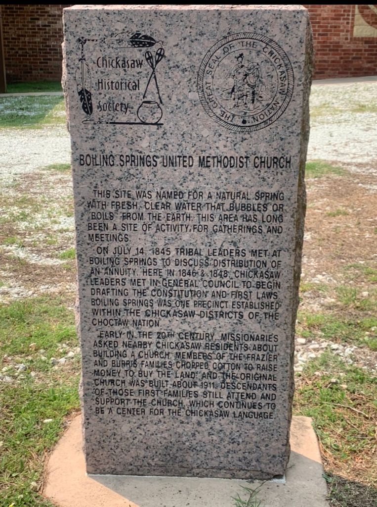
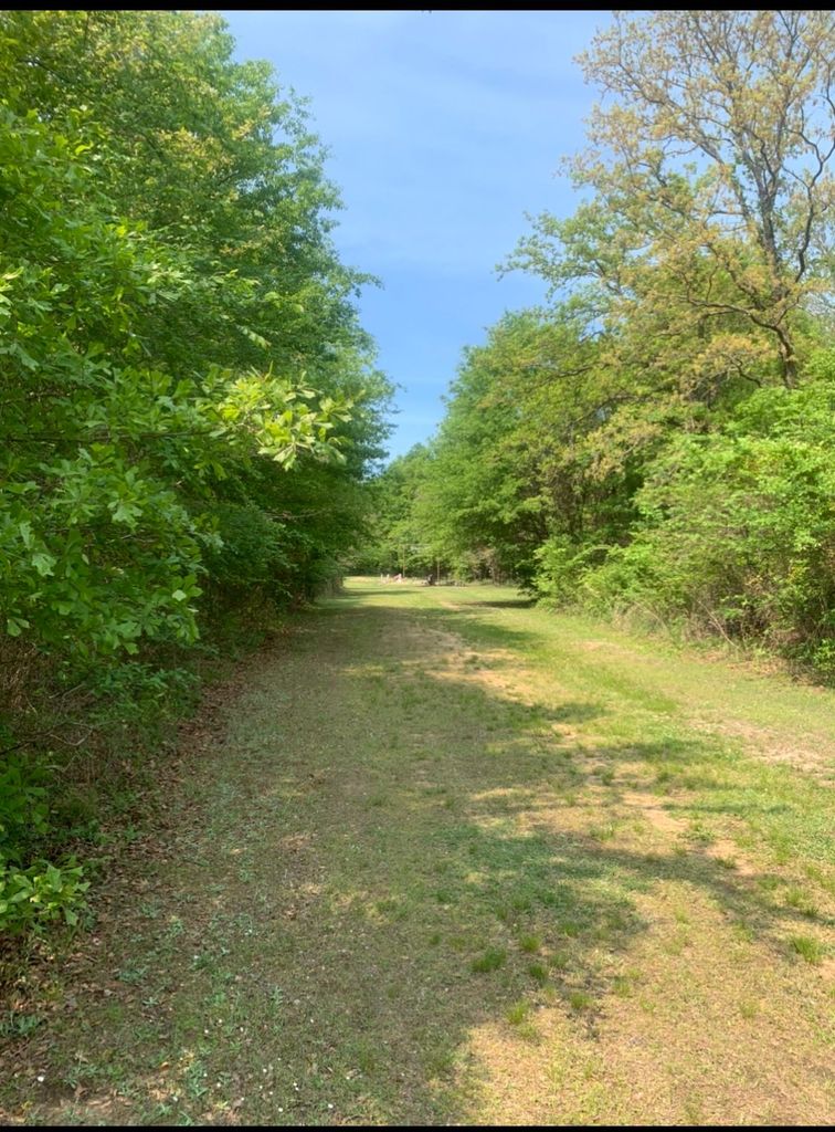
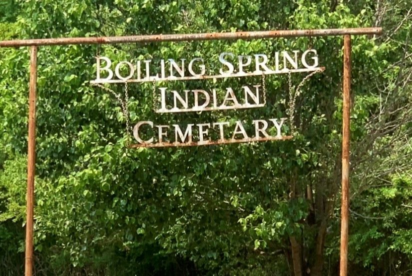
| Description | : | This Native American cemetery is located approximately 8 miles north of Centrahoma, on Boiling Springs Road. The cemetery is located in a wooded area just north of the church building, fenced in. |
frequently asked questions (FAQ):
-
Where is Boiling Springs Cemetery?
Boiling Springs Cemetery is located at Coal County ,Oklahoma ,USA.
-
Boiling Springs Cemetery cemetery's updated grave count on graveviews.com?
0 memorials
-
Where are the coordinates of the Boiling Springs Cemetery?
Latitude: 34.7225150
Longitude: -96.3553670
Nearby Cemetories:
1. Globe Cemetery
Coal County, USA
Coordinate: 34.6921997, -96.3272018
2. Panther Creek Cemetery
Gerty, Hughes County, USA
Coordinate: 34.7672005, -96.3174973
3. Lula Cemetery
Lula, Pontotoc County, USA
Coordinate: 34.6869011, -96.4113998
4. Citra Cemetery
Hughes County, USA
Coordinate: 34.8046989, -96.3768997
5. Red Oak Cemetery
Allen, Pontotoc County, USA
Coordinate: 34.7825200, -96.4388800
6. Pine Cemetery
Coal County, USA
Coordinate: 34.7263985, -96.2375031
7. Pleasant Grove Cemetery
Tupelo, Coal County, USA
Coordinate: 34.6688995, -96.4582977
8. Wilson Family Cemetery
Gerty, Hughes County, USA
Coordinate: 34.8223000, -96.3241100
9. Non Cemetery
Non, Hughes County, USA
Coordinate: 34.7835999, -96.2469025
10. Centrahoma Cemetery
Centrahoma, Coal County, USA
Coordinate: 34.6061707, -96.3365326
11. Selcer Cemetery
Coal County, USA
Coordinate: 34.6112301, -96.4042418
12. Red Springs Cemetery
Pontotoc County, USA
Coordinate: 34.8036003, -96.4760971
13. Allison Cemetery
Allen, Pontotoc County, USA
Coordinate: 34.7661020, -96.5033040
14. Gerty Cemetery
Gerty, Hughes County, USA
Coordinate: 34.8368988, -96.2718964
15. Round Lake Cemetery
Centrahoma, Coal County, USA
Coordinate: 34.5778008, -96.3371964
16. Five Mile Cemetery
Happyland, Pontotoc County, USA
Coordinate: 34.7841988, -96.5199966
17. Melville Cemetery
Pontotoc County, USA
Coordinate: 34.7075005, -96.5363998
18. Byrds Prairie Cemetery
Tupelo, Coal County, USA
Coordinate: 34.5792007, -96.4122009
19. McCarty Cemetery
Coal County, USA
Coordinate: 34.6542015, -96.1849976
20. Black Rock Cemetery
Pontotoc County, USA
Coordinate: 34.8480988, -96.4756012
21. Allen Cemetery
Allen, Pontotoc County, USA
Coordinate: 34.8770000, -96.4160000
22. Ott Cemetery
Coal County, USA
Coordinate: 34.6244011, -96.1931000
23. Highland Cemetery
Stonewall, Pontotoc County, USA
Coordinate: 34.6316986, -96.5286026
24. Nixon Cemetery
Coalgate, Coal County, USA
Coordinate: 34.5345150, -96.3253070