
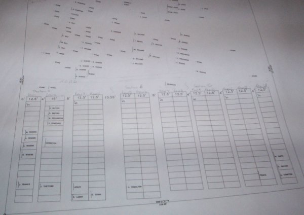
| Memorials | : | 2 |
| Location | : | Coal County, USA |
| Coordinate | : | 34.7263985, -96.2375031 |
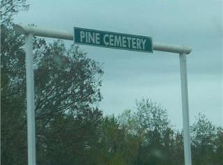
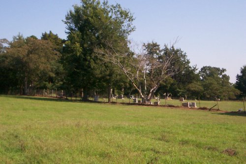
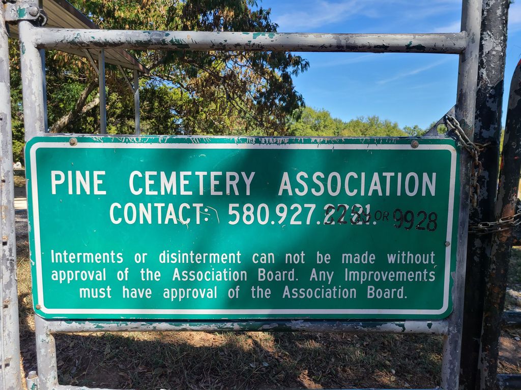
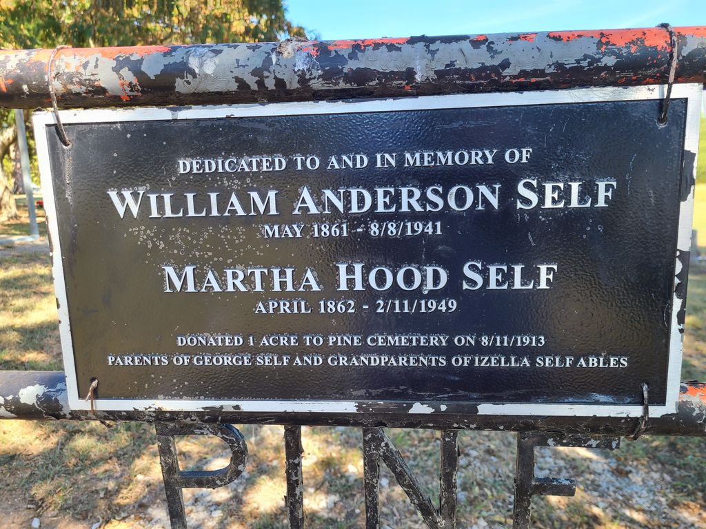
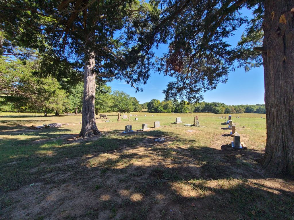
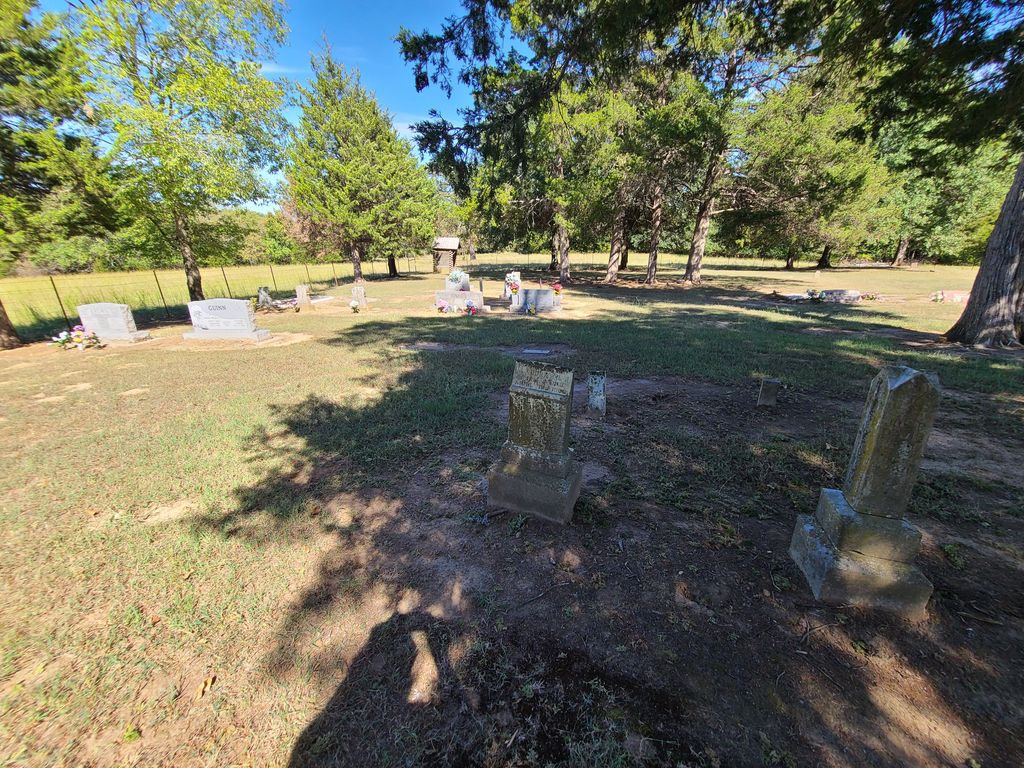
| Description | : | Located in Jackson Township between Coalgate and Calvin on Highway 75. Turn north off Highway 3W onto Highway 75N. Go 8.8 miles to Pine and Legal Road. Turn east and go approximately 3/4 mile. The cemetery is on the north side of the road. The earliest grave is from 1899. |
frequently asked questions (FAQ):
-
Where is Pine Cemetery?
Pine Cemetery is located at Coal County ,Oklahoma ,USA.
-
Pine Cemetery cemetery's updated grave count on graveviews.com?
2 memorials
-
Where are the coordinates of the Pine Cemetery?
Latitude: 34.7263985
Longitude: -96.2375031

Nearby Cemetories:
1. Non Cemetery
Non, Hughes County, USA
Coordinate: 34.7835999, -96.2469025
2. Panther Creek Cemetery
Gerty, Hughes County, USA
Coordinate: 34.7672005, -96.3174973
3. Globe Cemetery
Coal County, USA
Coordinate: 34.6921997, -96.3272018
4. McCarty Cemetery
Coal County, USA
Coordinate: 34.6542015, -96.1849976
5. Boiling Springs Cemetery
Coal County, USA
Coordinate: 34.7225150, -96.3553670
6. King Cemetery
Coal County, USA
Coordinate: 34.7341995, -96.1128006
7. Ott Cemetery
Coal County, USA
Coordinate: 34.6244011, -96.1931000
8. Gerty Cemetery
Gerty, Hughes County, USA
Coordinate: 34.8368988, -96.2718964
9. Wilson Family Cemetery
Gerty, Hughes County, USA
Coordinate: 34.8223000, -96.3241100
10. Bohannon Cemetery
Hughes County, USA
Coordinate: 34.7969444, -96.1144444
11. Lone Star Cemetery
Coal County, USA
Coordinate: 34.6660995, -96.0914001
12. Citra Cemetery
Hughes County, USA
Coordinate: 34.8046989, -96.3768997
13. Rock Creek Cemetery
Hughes County, USA
Coordinate: 34.8408012, -96.1378021
14. Centrahoma Cemetery
Centrahoma, Coal County, USA
Coordinate: 34.6061707, -96.3365326
15. Ashland Cemetery
Ashland, Pittsburg County, USA
Coordinate: 34.7669440, -96.0655556
16. Lula Cemetery
Lula, Pontotoc County, USA
Coordinate: 34.6869011, -96.4113998
17. Coalgate Cemetery
Coalgate, Coal County, USA
Coordinate: 34.5628014, -96.2155991
18. Round Lake Cemetery
Centrahoma, Coal County, USA
Coordinate: 34.5778008, -96.3371964
19. Cairo Cemetery
Cairo, Coal County, USA
Coordinate: 34.5881004, -96.1082993
20. Red Oak Cemetery
Allen, Pontotoc County, USA
Coordinate: 34.7825200, -96.4388800
21. Wardville Cemetery
Wardville, Atoka County, USA
Coordinate: 34.6585780, -96.0364260
22. Selcer Cemetery
Coal County, USA
Coordinate: 34.6112301, -96.4042418
23. Pleasant Grove Cemetery
Tupelo, Coal County, USA
Coordinate: 34.6688995, -96.4582977
24. Woodman Cemetery
Coalgate, Coal County, USA
Coordinate: 34.5341988, -96.1996994