
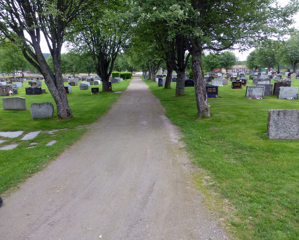
| Memorials | : | 0 |
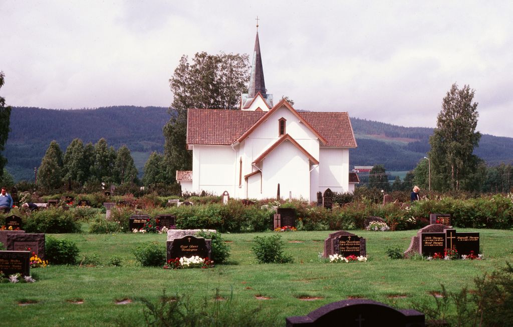
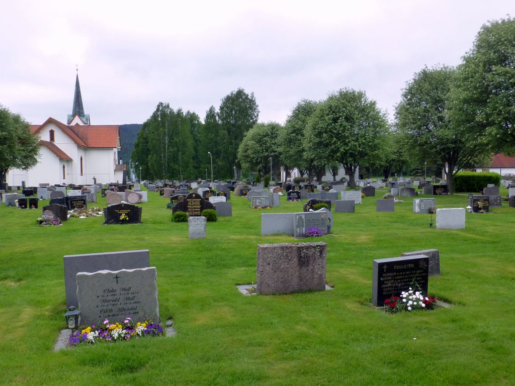
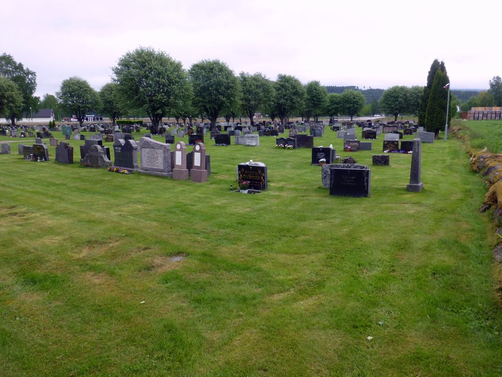
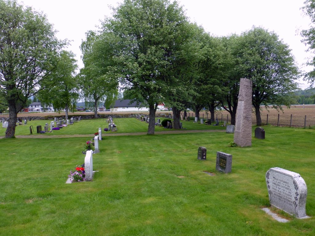
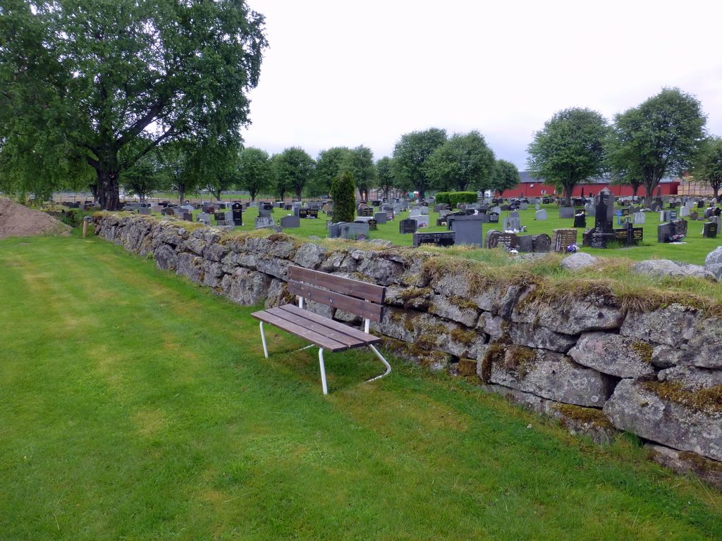
| Location | : | Brandval, Kongsvinger kommune, Norway |
| Coordinate | : | 60.3160760, 12.0144770 |
frequently asked questions (FAQ):
-
Where is Brandval Parish Cemetery?
Brandval Parish Cemetery is located at Brandval, Kongsvinger kommune ,Hedmark fylke ,Norway.
-
Brandval Parish Cemetery cemetery's updated grave count on graveviews.com?
0 memorials
-
Where are the coordinates of the Brandval Parish Cemetery?
Latitude: 60.3160760
Longitude: 12.0144770
Nearby Cemetories:
1. Vinger Cemetery
Kongsvinger, Kongsvinger kommune, Norway
Coordinate: 60.1947560, 12.0096070
2. Grue Cemetery
Kirkenaer i Solor, Grue kommune, Norway
Coordinate: 60.4492200, 12.0531800
3. Ullern
Ulleren, Sør-Odal kommune, Norway
Coordinate: 60.2128180, 11.6351600
4. Grue Finnskog Cemetery
Svullrya, Grue kommune, Norway
Coordinate: 60.4182840, 12.4055750
5. Mo Churchyard
Sand, Nord-Odal kommune, Norway
Coordinate: 60.4288290, 11.6350790
6. Hof Church Cemetery
Åsnes kommune, Norway
Coordinate: 60.5510204, 12.0178858
7. Sand Church
Sand, Nord-Odal kommune, Norway
Coordinate: 60.3906480, 11.5431170
8. Austmarka Church Cemetery
Austmarka, Kongsvinger kommune, Norway
Coordinate: 60.1003704, 12.3249278
9. Åsnes kirkegård
Kjellmyra, Åsnes kommune, Norway
Coordinate: 60.6100000, 11.9762940
10. Hof Finnskog
Hof, Åsnes kommune, Norway
Coordinate: 60.5767000, 12.3380000
11. Nes Kirke
Vormsund, Nes kommune, Norway
Coordinate: 60.1619024, 11.4500313
12. Aarnes Cemetery
Årnes, Nes kommune, Norway
Coordinate: 60.1251790, 11.4719160
13. Våler Cemetery
Våler i Solor, Våler kommune, Norway
Coordinate: 60.6726000, 11.8354300
14. Eidsvoll Church Cemetery
Eidsvoll, Eidsvoll kommune, Norway
Coordinate: 60.3234700, 11.2434500
15. Vestmarka
Skotterud, Eidskog kommune, Norway
Coordinate: 59.9273000, 11.9902000
16. Langset Parish
Minnesund, Eidsvoll kommune, Norway
Coordinate: 60.4073113, 11.2427180
17. Auli
Nes, Asker kommune, Norway
Coordinate: 60.0374870, 11.3992330
18. Raaholt Cemetery
Raholt, Eidsvoll kommune, Norway
Coordinate: 60.2751000, 11.1790000
19. Strandlykkja cemetery
Strandlykkja, Stange kommune, Norway
Coordinate: 60.5138100, 11.2472333
20. Åsnes Finnskog
Velta, Åsnes kommune, Norway
Coordinate: 60.7039000, 12.3796000
21. Nordre Gravplass Åsnes Finnskog
Velta, Åsnes kommune, Norway
Coordinate: 60.7082200, 12.3621400
22. Feiring Kirke
Feiring, Eidsvoll kommune, Norway
Coordinate: 60.4847000, 11.1495000
23. Stensgård Kirkegård
Nannestad kommune, Norway
Coordinate: 60.2775540, 11.0882430
24. Blaker Kirkegård
Sorumsand, Sørum kommune, Norway
Coordinate: 60.0015830, 11.3016500