
| Memorials | : | 0 |
| Location | : | Brielle, Brielle Municipality, Netherlands |
| Coordinate | : | 51.8974400, 4.1595100 |
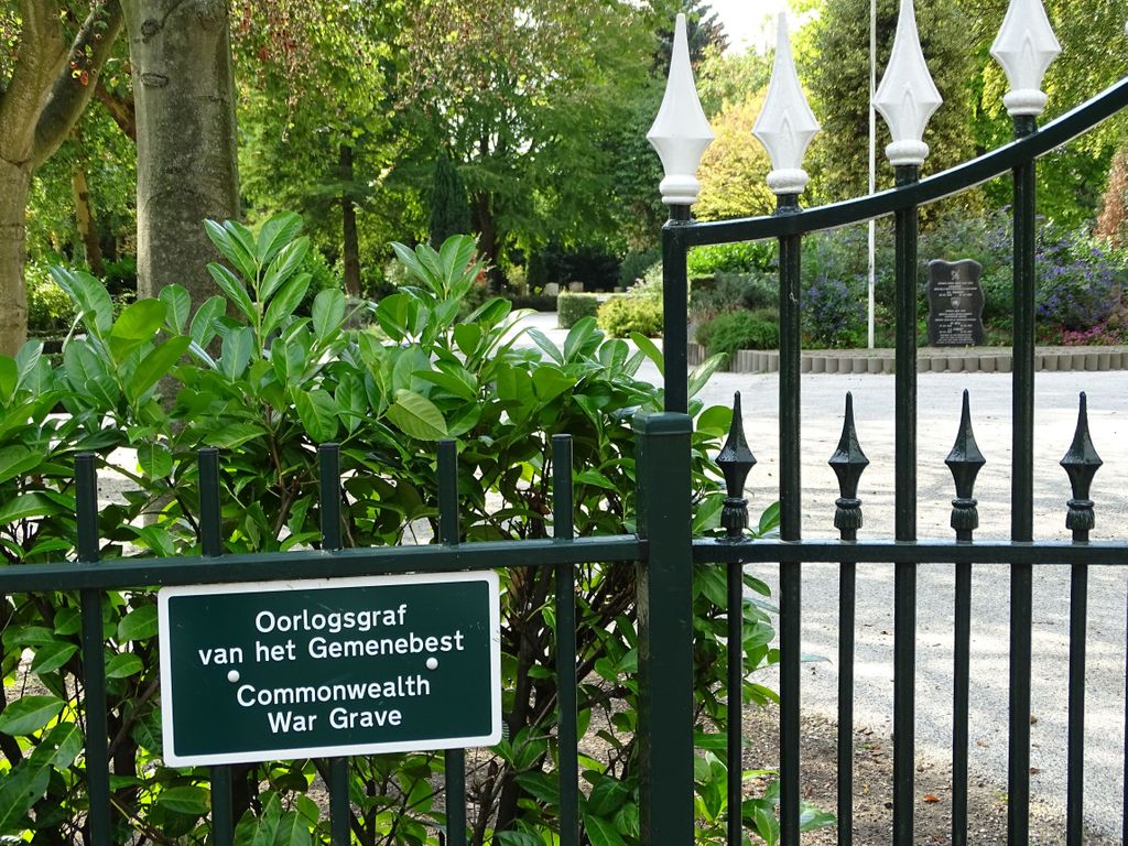
| Description | : | Brielle is 33 kilometres west of Rotterdam. The cemetery is on the southern outskirts of the village on the north side of the road to Hellevoetsluis, and is opposite a prominent water tower. |
frequently asked questions (FAQ):
-
Where is Brielle Oude Algemene Begraafplaats?
Brielle Oude Algemene Begraafplaats is located at Brielle, Brielle Municipality ,Zuid-Holland ,Netherlands.
-
Brielle Oude Algemene Begraafplaats cemetery's updated grave count on graveviews.com?
0 memorials
-
Where are the coordinates of the Brielle Oude Algemene Begraafplaats?
Latitude: 51.8974400
Longitude: 4.1595100
Nearby Cemetories:
1. Oostvoorne Roman Catholic Cemetery
Oostvoorne, Westvoorne Municipality, Netherlands
Coordinate: 51.8962300, 4.1527600
2. Brielle Nieuwe Algemene Begraafplaats
Brielle, Brielle Municipality, Netherlands
Coordinate: 51.8861377, 4.1633283
3. Zwartewaal General Cemetery
Zwartewaal, Brielle Municipality, Netherlands
Coordinate: 51.8781800, 4.2135600
4. Oostvoorne Protestant Cemetery
Oostvoorne, Westvoorne Municipality, Netherlands
Coordinate: 51.9103000, 4.0997100
5. Rozenburg General Cemetery
Rozenburg, Rotterdam Municipality, Netherlands
Coordinate: 51.9034500, 4.2513600
6. Begraafplaats Heenvliet
Heenvliet, Nissewaard Municipality, Netherlands
Coordinate: 51.8654244, 4.2359608
7. Zeeweg General Cemetery
Rockanje, Westvoorne Municipality, Netherlands
Coordinate: 51.8747900, 4.0674300
8. Nieuw-Helvoet General Cemetery
Nieuw-Helvoet, Hellevoetsluis Municipality, Netherlands
Coordinate: 51.8400400, 4.1244610
9. Protestant Church Cemetery
Heenvliet, Nissewaard Municipality, Netherlands
Coordinate: 51.8643528, 4.2439972
10. Algemene Begraafplaats
Maassluis, Maassluis Municipality, Netherlands
Coordinate: 51.9162000, 4.2579500
11. Nieuwe Begraafplaats
Abbenbroek, Nissewaard Municipality, Netherlands
Coordinate: 51.8469476, 4.2378221
12. Joodse begraafplaats
Geervliet, Nissewaard Municipality, Netherlands
Coordinate: 51.8602530, 4.2556100
13. Oude begraafplaats
Abbenbroek, Nissewaard Municipality, Netherlands
Coordinate: 51.8483566, 4.2408714
14. Hoek Van Holland General Cemetery
Hoek van Holland, Rotterdam Municipality, Netherlands
Coordinate: 51.9824900, 4.1251600
15. De Lier Cemetery
De Lier, Westland Municipality, Netherlands
Coordinate: 51.9712106, 4.2550109
16. Joodse Begraafplaats
Zuidland, Nissewaard Municipality, Netherlands
Coordinate: 51.8210000, 4.2532700
17. Begraafplaats Kerkweg
Zuidland, Nissewaard Municipality, Netherlands
Coordinate: 51.8210330, 4.2568590
18. 's Gravenzande General Cemetery
's-Gravenzande, Westland Municipality, Netherlands
Coordinate: 51.9955500, 4.1618300
19. Joodse Begraafplaats
Naaldwijk, Westland Municipality, Netherlands
Coordinate: 51.9953000, 4.1945700
20. Simonshaven Protestant Churchyard
Simonshaven, Nissewaard Municipality, Netherlands
Coordinate: 51.8237400, 4.2914400
21. Emaus General Cemetery
Vlaardingen, Vlaardingen Municipality, Netherlands
Coordinate: 51.9172092, 4.3458557
22. Holy Begraafplaats
Vlaardingen, Vlaardingen Municipality, Netherlands
Coordinate: 51.9384700, 4.3380100
23. Joodse Begraafplaats
Vlaardingen Municipality, Netherlands
Coordinate: 51.9096700, 4.3588700
24. Hervormde Gemeente Goudswaard
Goudswaard, Korendijk Municipality, Netherlands
Coordinate: 51.7952271, 4.2743742