
| Memorials | : | 0 |
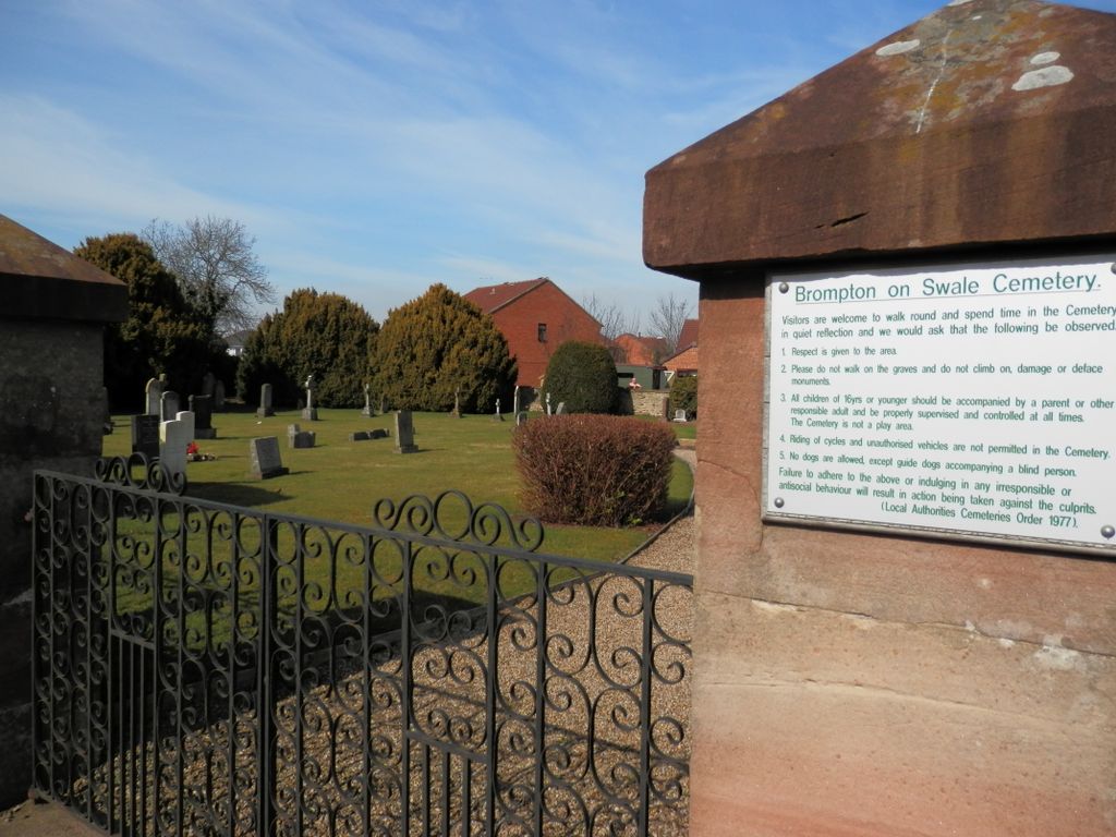
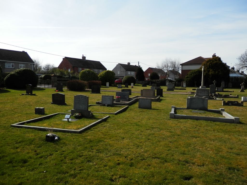
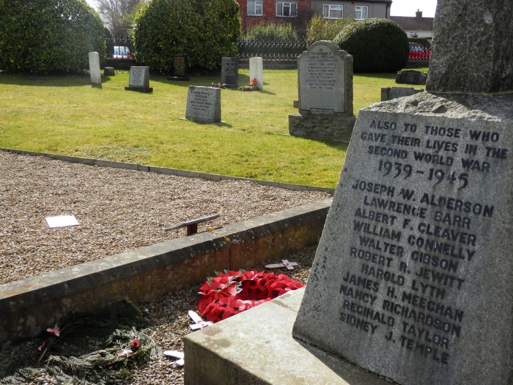
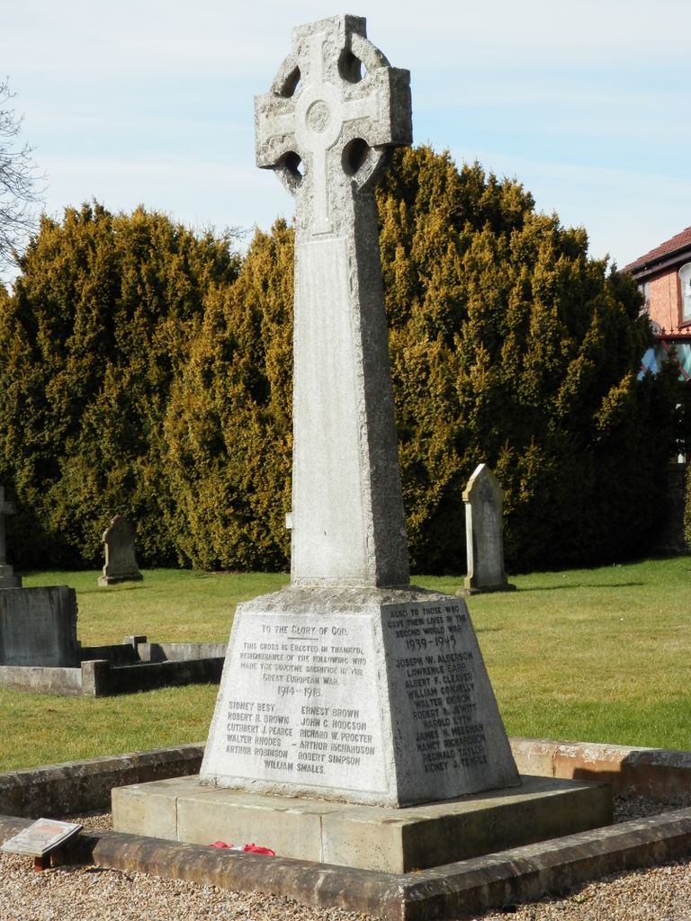
| Location | : | Brompton on Swale, Richmondshire District, England |
| Coordinate | : | 54.3917400, -1.6608900 |
| Description | : | Brompton-on-Swale is a village and civil parish in the Richmondshire district of North Yorkshire, England. The village is located three miles east of Richmond and 10 miles north west of the county town of Northallerton on the northern bank of the River Swale. The village is mentioned in the Domesday Book as Brunton in lands owned by Count Alan of Brittany. The etymology of the village name is derived from the Old English words brôm, for the shrub Broom, and tûn meaning village or farmstead. The suffix to indicate that the village is located on the River Swale was added later. |
frequently asked questions (FAQ):
-
Where is Brompton-On-Swale Cemetery?
Brompton-On-Swale Cemetery is located at Bridge Road Brompton on Swale, Richmondshire District ,North Yorkshire ,England.
-
Brompton-On-Swale Cemetery cemetery's updated grave count on graveviews.com?
0 memorials
-
Where are the coordinates of the Brompton-On-Swale Cemetery?
Latitude: 54.3917400
Longitude: -1.6608900
Nearby Cemetories:
1. St Paulinus Roman Catholic Churchyard
Brough with St Giles, Richmondshire District, England
Coordinate: 54.3779100, -1.6698900
2. Catterick Cemetery
Catterick, Richmondshire District, England
Coordinate: 54.3774700, -1.6349100
3. St Anne Churchyard
Catterick, Richmondshire District, England
Coordinate: 54.3768500, -1.6319800
4. Scorton & District Joint Cemetery
Scorton, Richmondshire District, England
Coordinate: 54.3914400, -1.6156200
5. St Mary Churchyard
Bolton-on-Swale, Richmondshire District, England
Coordinate: 54.3875300, -1.6127600
6. St Agatha Churchyard
Easby, Richmondshire District, England
Coordinate: 54.3976010, -1.7158320
7. St John The Evangelist Churchyard
Hipswell, Richmondshire District, England
Coordinate: 54.3798700, -1.7130100
8. Catterick Garrison Military Cemetery
Hipswell, Richmondshire District, England
Coordinate: 54.3803100, -1.7138300
9. Holy Trinity Churchyard
Tunstall, Richmondshire District, England
Coordinate: 54.3572840, -1.6683920
10. St Mary the Virgin Churchyard
Richmond, Richmondshire District, England
Coordinate: 54.4046600, -1.7333700
11. St Mary Churchyard
Hornby, Richmondshire District, England
Coordinate: 54.3388470, -1.6594880
12. St Michael and All Angels Churchyard
Middleton Tyas, Richmondshire District, England
Coordinate: 54.4451400, -1.6390500
13. Richmond Cemetery
Richmond, Richmondshire District, England
Coordinate: 54.4053750, -1.7572010
14. St. Agatha and St. Oswin Churchyard
Gilling West, Richmondshire District, England
Coordinate: 54.4414840, -1.7209980
15. St Mary Churchyard
Kirkby Fleetham, Hambleton District, England
Coordinate: 54.3561750, -1.5691590
16. Middleton Lodge Chapel
Middleton Tyas, Richmondshire District, England
Coordinate: 54.4562000, -1.6567000
17. St. Mary's Churchyard
South Cowton, Hambleton District, England
Coordinate: 54.4187600, -1.5501800
18. St Oswald Churchyard
Hauxwell, Richmondshire District, England
Coordinate: 54.3333300, -1.7333300
19. St Michael and All Angels Churchyard
Hudswell, Richmondshire District, England
Coordinate: 54.3990300, -1.7846500
20. St Andrew Churchyard
Great Fencote, Hambleton District, England
Coordinate: 54.3366300, -1.5662200
21. St. Wilfrid Churchyard
Great Langton, Hambleton District, England
Coordinate: 54.3598870, -1.5367380
22. St Patrick Churchyard
Patrick Brompton, Richmondshire District, England
Coordinate: 54.3112400, -1.6647300
23. St Mary Churchyard
East Cowton, Hambleton District, England
Coordinate: 54.4291100, -1.5370200
24. St James the Great Churchyard
Melsonby, Richmondshire District, England
Coordinate: 54.4711100, -1.6916100