
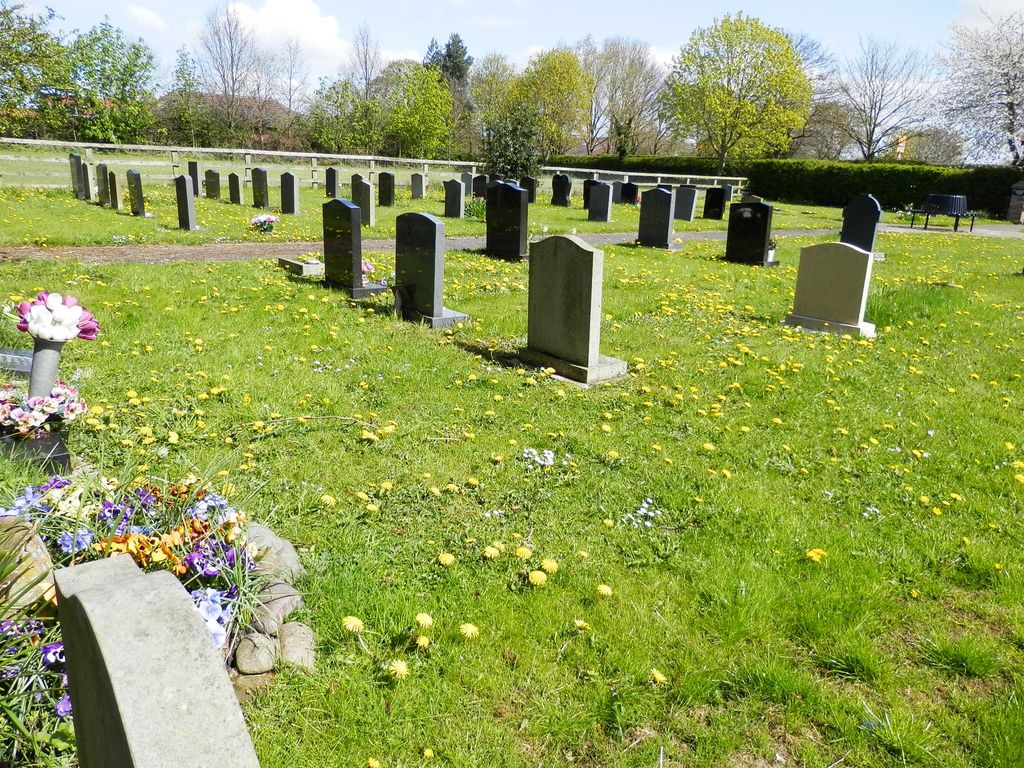
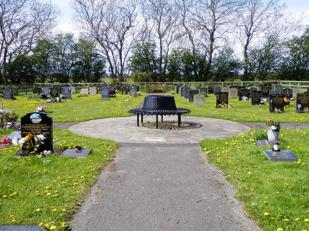
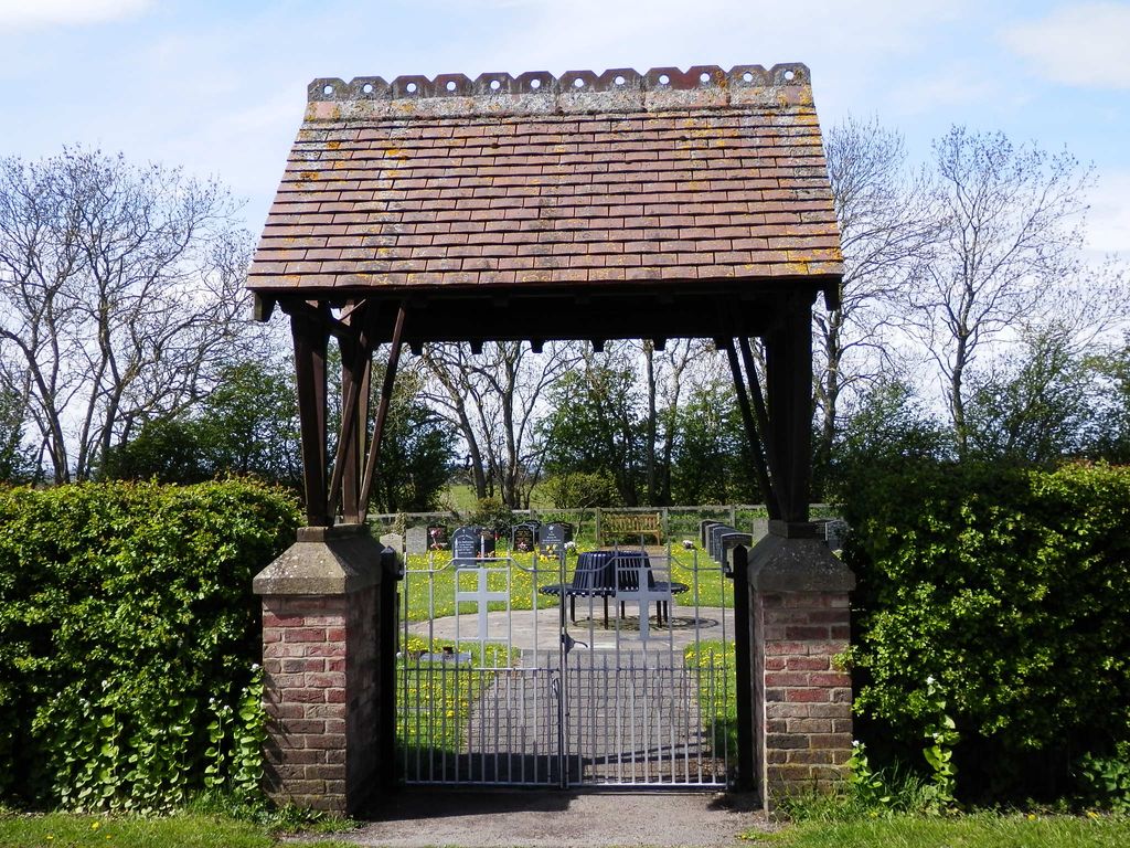
| Memorials | : | 134 |
| Location | : | Scorton, Richmondshire District, England |
| Coordinate | : | 54.3914400, -1.6156200 |
| Description | : | The cemetery served the parishes of Scorton, Bolton-on-Swale, Ellerton-upon-Swale and Uckerby; formerly served by St Mary’s Churchyard in Bolton-on-Swale, which is now closed to new burials except in existing family plots. It is situated immediately south of Scorton, opposite Bolton-on-Swale C of E Primary School. |
frequently asked questions (FAQ):
-
Where is Scorton & District Joint Cemetery?
Scorton & District Joint Cemetery is located at Scorton, Richmondshire District ,North Yorkshire ,England.
-
Scorton & District Joint Cemetery cemetery's updated grave count on graveviews.com?
133 memorials
-
Where are the coordinates of the Scorton & District Joint Cemetery?
Latitude: 54.3914400
Longitude: -1.6156200
Nearby Cemetories:
1. St Mary Churchyard
Bolton-on-Swale, Richmondshire District, England
Coordinate: 54.3875300, -1.6127600
2. St Anne Churchyard
Catterick, Richmondshire District, England
Coordinate: 54.3768500, -1.6319800
3. Catterick Cemetery
Catterick, Richmondshire District, England
Coordinate: 54.3774700, -1.6349100
4. Brompton-On-Swale Cemetery
Brompton on Swale, Richmondshire District, England
Coordinate: 54.3917400, -1.6608900
5. St Paulinus Roman Catholic Churchyard
Brough with St Giles, Richmondshire District, England
Coordinate: 54.3779100, -1.6698900
6. St Mary Churchyard
Kirkby Fleetham, Hambleton District, England
Coordinate: 54.3561750, -1.5691590
7. Holy Trinity Churchyard
Tunstall, Richmondshire District, England
Coordinate: 54.3572840, -1.6683920
8. St. Mary's Churchyard
South Cowton, Hambleton District, England
Coordinate: 54.4187600, -1.5501800
9. St Michael and All Angels Churchyard
Middleton Tyas, Richmondshire District, England
Coordinate: 54.4451400, -1.6390500
10. St. Wilfrid Churchyard
Great Langton, Hambleton District, England
Coordinate: 54.3598870, -1.5367380
11. St John The Evangelist Churchyard
Hipswell, Richmondshire District, England
Coordinate: 54.3798700, -1.7130100
12. Catterick Garrison Military Cemetery
Hipswell, Richmondshire District, England
Coordinate: 54.3803100, -1.7138300
13. St Mary Churchyard
Hornby, Richmondshire District, England
Coordinate: 54.3388470, -1.6594880
14. St Agatha Churchyard
Easby, Richmondshire District, England
Coordinate: 54.3976010, -1.7158320
15. St Mary Churchyard
East Cowton, Hambleton District, England
Coordinate: 54.4291100, -1.5370200
16. St Andrew Churchyard
Great Fencote, Hambleton District, England
Coordinate: 54.3366300, -1.5662200
17. Middleton Lodge Chapel
Middleton Tyas, Richmondshire District, England
Coordinate: 54.4562000, -1.6567000
18. St Mary the Virgin Churchyard
Richmond, Richmondshire District, England
Coordinate: 54.4046600, -1.7333700
19. St. Peter's Churchyard
Birkby, Hambleton District, England
Coordinate: 54.4157560, -1.4901840
20. St. Lawrence Churchyard
Hutton Bonville, Hambleton District, England
Coordinate: 54.3958000, -1.4830000
21. St Radegund Churchyard
Scruton, Hambleton District, England
Coordinate: 54.3275320, -1.5398210
22. Danby Wiske Parish Churchyard
Danby Wiske, Hambleton District, England
Coordinate: 54.3793800, -1.4813060
23. St. Agatha and St. Oswin Churchyard
Gilling West, Richmondshire District, England
Coordinate: 54.4414840, -1.7209980
24. Crakehall and Langthorne Cemetery
Crakehall, Hambleton District, England
Coordinate: 54.3086800, -1.6272800