
| Memorials | : | 80 |
| Location | : | Richmond, Richmondshire District, England |
| Coordinate | : | 54.4046600, -1.7333700 |
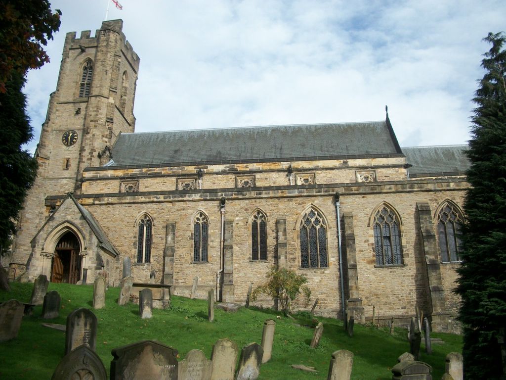
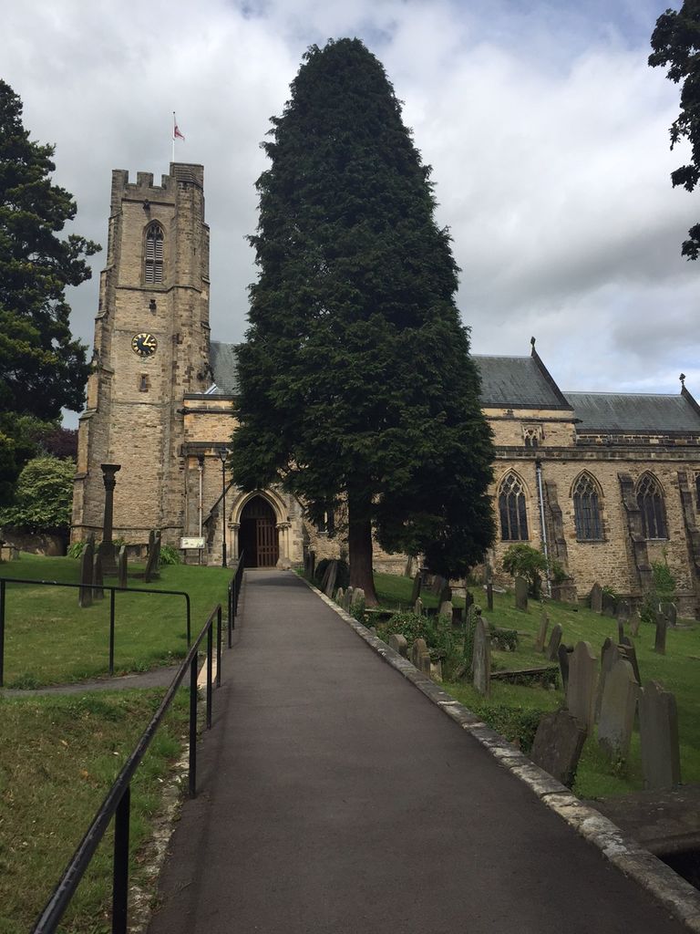
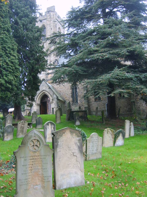
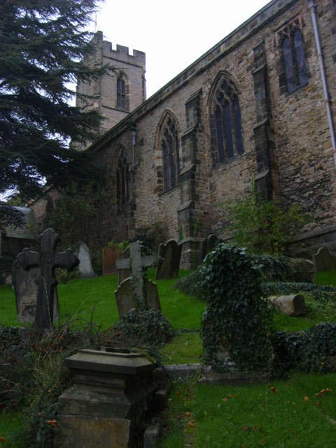
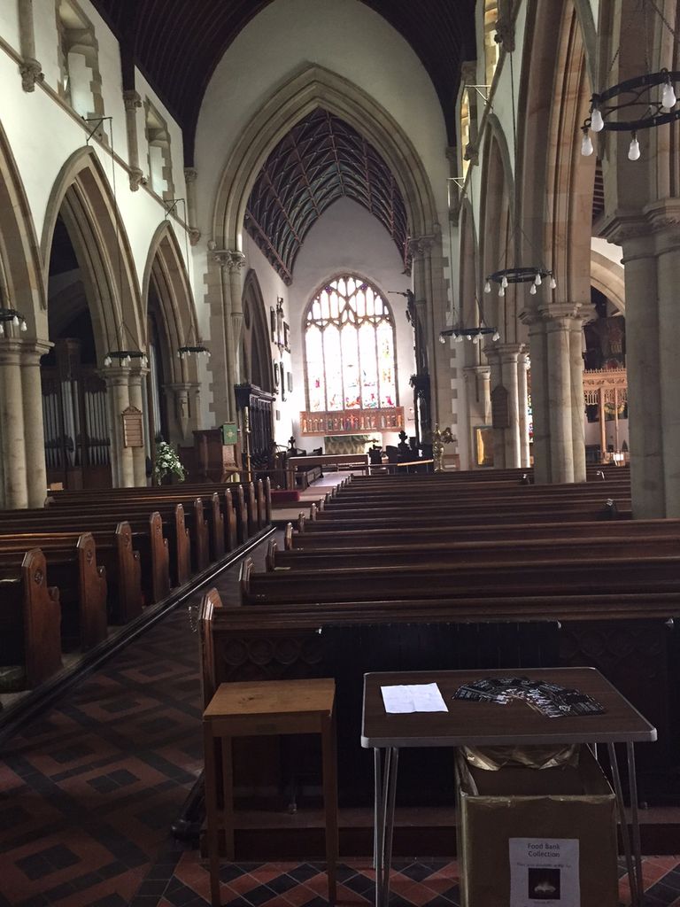
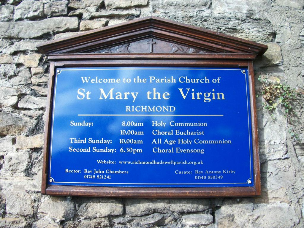
| Description | : | St Marys Richmond dates from 1137. The register books commencing in 1556. Following the dissolution of the monasteries in 1536, the canopied choir stalls from nearby Easby Abbey were moved into St Mary's Church where they remain today. A complete restoration was undertaken by Sir Gilbert Scott in 1858 - 62. Near the north wall stands a stone commemorating the death of 1,050 Richmond people who died in the plague of 1597-98. Of particular interest are the grave of Robert Willance who was born in the 16th century and whose house still stands in Frenchgate, and the graves of two... Read More |
frequently asked questions (FAQ):
-
Where is St Mary the Virgin Churchyard?
St Mary the Virgin Churchyard is located at Church Wynd Richmond, Richmondshire District ,North Yorkshire , DL10 7AQEngland.
-
St Mary the Virgin Churchyard cemetery's updated grave count on graveviews.com?
80 memorials
-
Where are the coordinates of the St Mary the Virgin Churchyard?
Latitude: 54.4046600
Longitude: -1.7333700
Nearby Cemetories:
1. St Agatha Churchyard
Easby, Richmondshire District, England
Coordinate: 54.3976010, -1.7158320
2. Richmond Cemetery
Richmond, Richmondshire District, England
Coordinate: 54.4053750, -1.7572010
3. Catterick Garrison Military Cemetery
Hipswell, Richmondshire District, England
Coordinate: 54.3803100, -1.7138300
4. St John The Evangelist Churchyard
Hipswell, Richmondshire District, England
Coordinate: 54.3798700, -1.7130100
5. St Michael and All Angels Churchyard
Hudswell, Richmondshire District, England
Coordinate: 54.3990300, -1.7846500
6. St. Agatha and St. Oswin Churchyard
Gilling West, Richmondshire District, England
Coordinate: 54.4414840, -1.7209980
7. Brompton-On-Swale Cemetery
Brompton on Swale, Richmondshire District, England
Coordinate: 54.3917400, -1.6608900
8. St Paulinus Roman Catholic Churchyard
Brough with St Giles, Richmondshire District, England
Coordinate: 54.3779100, -1.6698900
9. St. Peter and St. Felix Churchyard
Kirby Hill, Richmondshire District, England
Coordinate: 54.4546050, -1.7851500
10. Holy Trinity Churchyard
Tunstall, Richmondshire District, England
Coordinate: 54.3572840, -1.6683920
11. St Michael and All Angels Churchyard
Downholme, Richmondshire District, England
Coordinate: 54.3799700, -1.8313400
12. St Edmund the Martyr Churchyard
Marske, Richmondshire District, England
Coordinate: 54.3997500, -1.8403700
13. Catterick Cemetery
Catterick, Richmondshire District, England
Coordinate: 54.3774700, -1.6349100
14. St Anne Churchyard
Catterick, Richmondshire District, England
Coordinate: 54.3768500, -1.6319800
15. Middleton Lodge Chapel
Middleton Tyas, Richmondshire District, England
Coordinate: 54.4562000, -1.6567000
16. St Michael and All Angels Churchyard
Middleton Tyas, Richmondshire District, England
Coordinate: 54.4451400, -1.6390500
17. Scorton & District Joint Cemetery
Scorton, Richmondshire District, England
Coordinate: 54.3914400, -1.6156200
18. St James the Great Churchyard
Melsonby, Richmondshire District, England
Coordinate: 54.4711100, -1.6916100
19. St Oswald Churchyard
Hauxwell, Richmondshire District, England
Coordinate: 54.3333300, -1.7333300
20. St Mary Churchyard
Bolton-on-Swale, Richmondshire District, England
Coordinate: 54.3875300, -1.6127600
21. St Mary Churchyard
Hornby, Richmondshire District, England
Coordinate: 54.3388470, -1.6594880
22. St Cuthbert and St Mary Churchyard
Barton, Richmondshire District, England
Coordinate: 54.4754490, -1.6458250
23. St John the Evangelist Churchyard
Bellerby, Richmondshire District, England
Coordinate: 54.3303200, -1.8239000
24. St John the Baptist Churchyard
Stanwick St John, Richmondshire District, England
Coordinate: 54.5028550, -1.7155730