
| Memorials | : | 0 |
| Location | : | Nunney, Mendip District, England |
| Website | : | nunneyparishcouncil.com/ |
| Coordinate | : | 51.2077210, -2.3722630 |
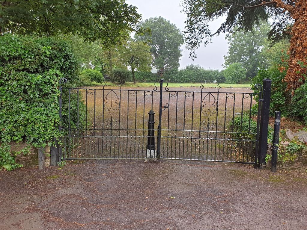
| Description | : | In April 1973, the Nunney Parish Council purchased land at Ridgeway Lane, Nunney, for the sum of £750, to create a new burial ground.[1] Fencing and landscaping was completed in the same year and the ground opened formally for burials in 1975.[1][2] The gates to the burial ground were added in 1976,[3] and in 1981, the car park area was tarmacked.[4] Refs: [1] p. 18, Somerset Standard, March 23, 1973. [2] p. 4, Somerset Standard, June 11, 1976. [3] p. 10, Somerset Standard, May 7, 1976. [4] p. 5, Central Somerset Gazette, February 7, 1980. |
frequently asked questions (FAQ):
-
Where is Byfields Cemetery?
Byfields Cemetery is located at Ridgeway Lane, Frome Nunney, Mendip District ,Somerset , BA11 4NREngland.
-
Byfields Cemetery cemetery's updated grave count on graveviews.com?
0 memorials
-
Where are the coordinates of the Byfields Cemetery?
Latitude: 51.2077210
Longitude: -2.3722630

Nearby Cemetories:
1. All Saints Churchyard
Nunney, Mendip District, England
Coordinate: 51.2098694, -2.3772340
2. St. Leonard's Churchyard
Mendip District, England
Coordinate: 51.2033660, -2.3512620
3. St Leonard Church
Marston Magna, South Somerset District, England
Coordinate: 51.2058070, -2.3488020
4. St. Mary's Churchyard
Mendip District, England
Coordinate: 51.1942400, -2.3928700
5. St George's Churchyard
Whatley, Mendip District, England
Coordinate: 51.2270030, -2.3822140
6. Saint Mary Magdalene Churchyard
Great Elm, Mendip District, England
Coordinate: 51.2426040, -2.3647230
7. Christ Church Churchyard
Frome, Mendip District, England
Coordinate: 51.2295340, -2.3260130
8. St Andrew Churchyard
Mells, Mendip District, England
Coordinate: 51.2420710, -2.3912060
9. Sheppards Barton Meeting House Burial Ground
Frome, Mendip District, England
Coordinate: 51.2300570, -2.3247620
10. Holy Trinity Church
Frome, Mendip District, England
Coordinate: 51.2341720, -2.3275820
11. St. John the Baptist Churchyard
Frome, Mendip District, England
Coordinate: 51.2296780, -2.3209480
12. St Mary's Church
Witham Friary, Mendip District, England
Coordinate: 51.1686850, -2.3676100
13. Frome Dissenters' Cemetery
Frome, Mendip District, England
Coordinate: 51.2317000, -2.3215000
14. The Blessed Virgin Mary Churchyard
Wanstrow, Mendip District, England
Coordinate: 51.1735190, -2.4164890
15. St. Katherine's Churchyard
Frome, Mendip District, England
Coordinate: 51.1957520, -2.3012529
16. Saint Giles Churchyard
Leigh-on-Mendip, Mendip District, England
Coordinate: 51.2239000, -2.4416000
17. St Edmund's Church Vobster
Mells, Mendip District, England
Coordinate: 51.2418000, -2.4244930
18. East Hill Cemetery
Frome, Mendip District, England
Coordinate: 51.2275940, -2.3030250
19. East Hill
Frome St Quintin, West Dorset District, England
Coordinate: 51.2272132, -2.3024896
20. Saint Michael & All Angels Churchyard
Buckland Dinham, Mendip District, England
Coordinate: 51.2600540, -2.3522580
21. All Saints Churchyard
Rodden, Mendip District, England
Coordinate: 51.2283600, -2.2892740
22. St Mary the Virgin Churchyard
Orchardleigh, Mendip District, England
Coordinate: 51.2576210, -2.3259440
23. Holy Trinity Churchyard
Coleford, Mendip District, England
Coordinate: 51.2394100, -2.4503100
24. St. Margaret's Churchyard
Frome, Mendip District, England
Coordinate: 51.2576670, -2.4242260