
| Memorials | : | 0 |
| Location | : | Mendip District, England |
| Website | : | www.trudoxhill.org.uk/community-services/churches/ |
| Coordinate | : | 51.2033660, -2.3512620 |
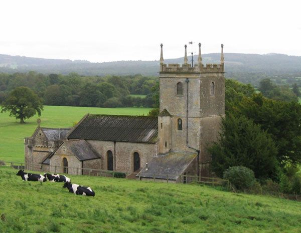
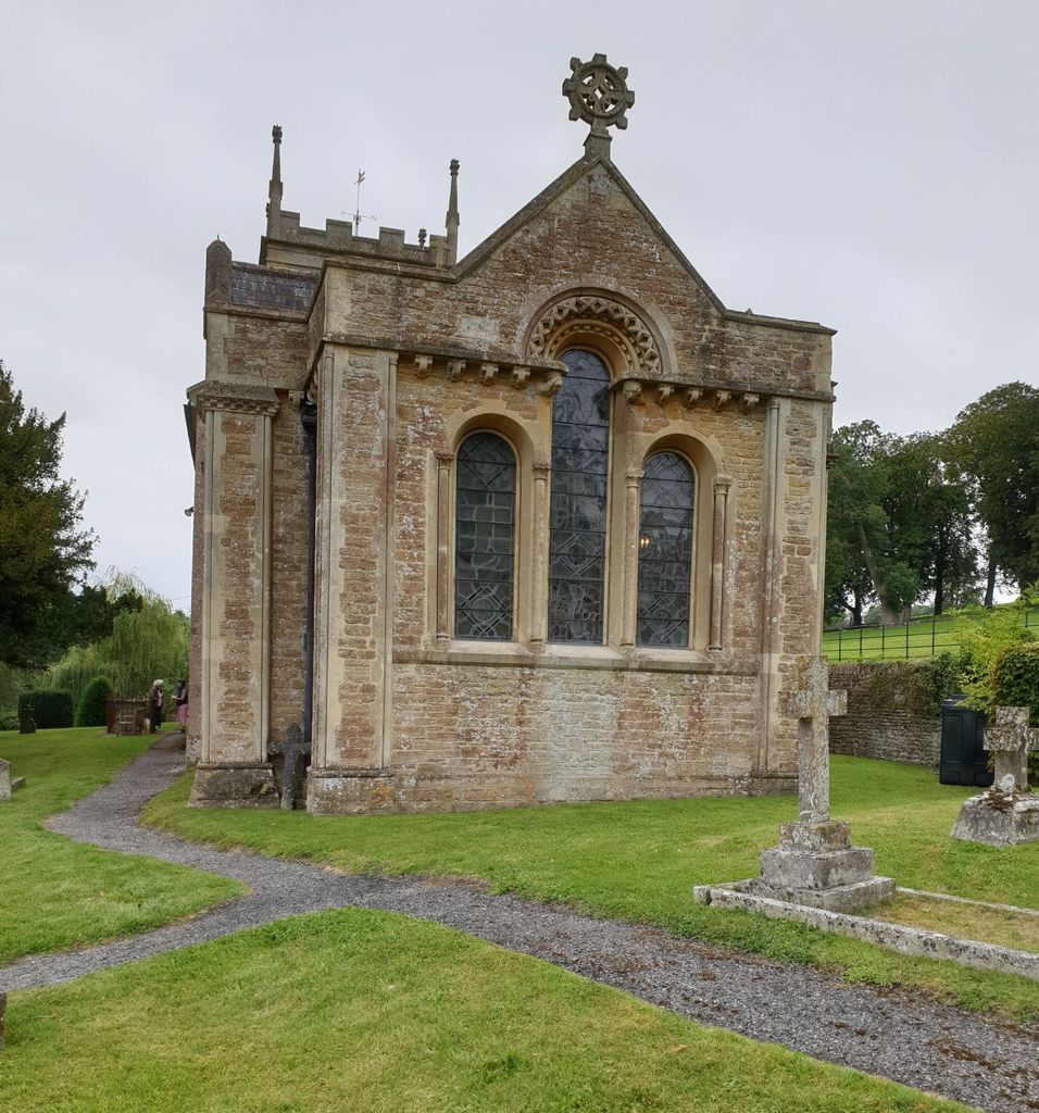
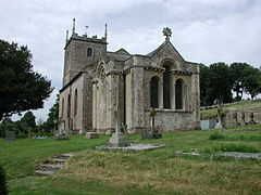
| Description | : | The church was built on the site of an older one by the late Earl of Cork, and was made a parish church in 1789. It was altered in 1844 by Edward Davis of Bath for the Duke of Cork and Orrery. There are many monuments to the Boyle family, Duke of Cork and Orrery, and most notably, under the tower, to Louisa Boyle. |
frequently asked questions (FAQ):
-
Where is St. Leonard's Churchyard?
St. Leonard's Churchyard is located at Marston Bigot Mendip District ,Somerset , BA11 5DEEngland.
-
St. Leonard's Churchyard cemetery's updated grave count on graveviews.com?
0 memorials
-
Where are the coordinates of the St. Leonard's Churchyard?
Latitude: 51.2033660
Longitude: -2.3512620

Nearby Cemetories:
1. St Leonard Church
Marston Magna, South Somerset District, England
Coordinate: 51.2058070, -2.3488020
2. Byfields Cemetery
Nunney, Mendip District, England
Coordinate: 51.2077210, -2.3722630
3. All Saints Churchyard
Nunney, Mendip District, England
Coordinate: 51.2098694, -2.3772340
4. St. Mary's Churchyard
Mendip District, England
Coordinate: 51.1942400, -2.3928700
5. St George's Churchyard
Whatley, Mendip District, England
Coordinate: 51.2270030, -2.3822140
6. Christ Church Churchyard
Frome, Mendip District, England
Coordinate: 51.2295340, -2.3260130
7. Sheppards Barton Meeting House Burial Ground
Frome, Mendip District, England
Coordinate: 51.2300570, -2.3247620
8. St. Katherine's Churchyard
Frome, Mendip District, England
Coordinate: 51.1957520, -2.3012529
9. St. John the Baptist Churchyard
Frome, Mendip District, England
Coordinate: 51.2296780, -2.3209480
10. Frome Dissenters' Cemetery
Frome, Mendip District, England
Coordinate: 51.2317000, -2.3215000
11. Holy Trinity Church
Frome, Mendip District, England
Coordinate: 51.2341720, -2.3275820
12. St Mary's Church
Witham Friary, Mendip District, England
Coordinate: 51.1686850, -2.3676100
13. East Hill Cemetery
Frome, Mendip District, England
Coordinate: 51.2275940, -2.3030250
14. East Hill
Frome St Quintin, West Dorset District, England
Coordinate: 51.2272132, -2.3024896
15. Saint Mary Magdalene Churchyard
Great Elm, Mendip District, England
Coordinate: 51.2426040, -2.3647230
16. St Andrew Churchyard
Mells, Mendip District, England
Coordinate: 51.2420710, -2.3912060
17. All Saints Churchyard
Rodden, Mendip District, England
Coordinate: 51.2283600, -2.2892740
18. The Blessed Virgin Mary Churchyard
Wanstrow, Mendip District, England
Coordinate: 51.1735190, -2.4164890
19. St Mary the Virgin Churchyard
Orchardleigh, Mendip District, England
Coordinate: 51.2576210, -2.3259440
20. Saint Michael & All Angels Churchyard
Buckland Dinham, Mendip District, England
Coordinate: 51.2600540, -2.3522580
21. St Edmund's Church Vobster
Mells, Mendip District, England
Coordinate: 51.2418000, -2.4244930
22. Saint Giles Churchyard
Leigh-on-Mendip, Mendip District, England
Coordinate: 51.2239000, -2.4416000
23. St. Mary's Berkley
Berkley, Mendip District, England
Coordinate: 51.2435080, -2.2720990
24. St. Margaret Churchyard Extension
Corsley, Wiltshire Unitary Authority, England
Coordinate: 51.2191491, -2.2469419