| Memorials | : | 3 |
| Location | : | Camino, El Dorado County, USA |
| Coordinate | : | 38.7450981, -120.6564407 |
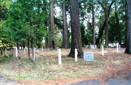
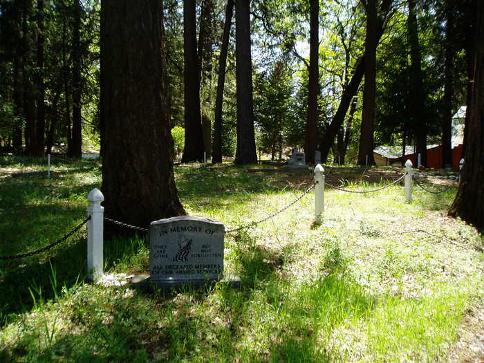
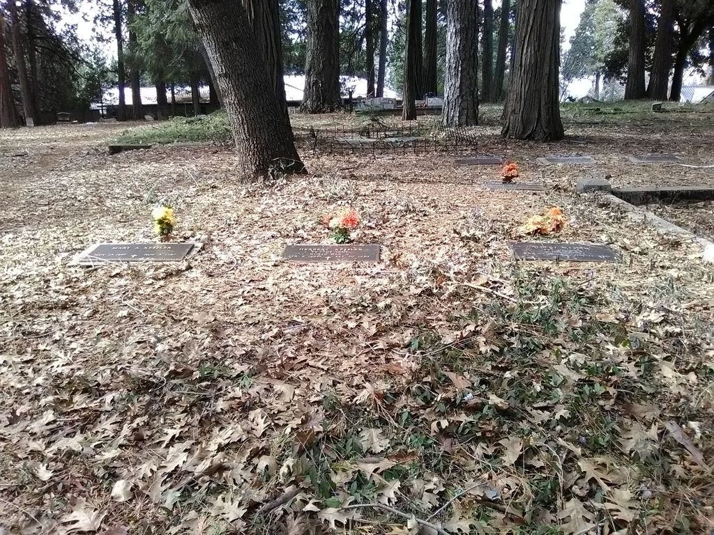
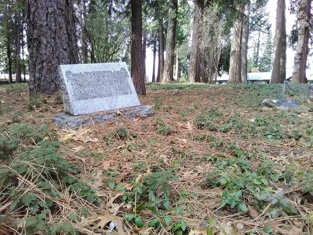
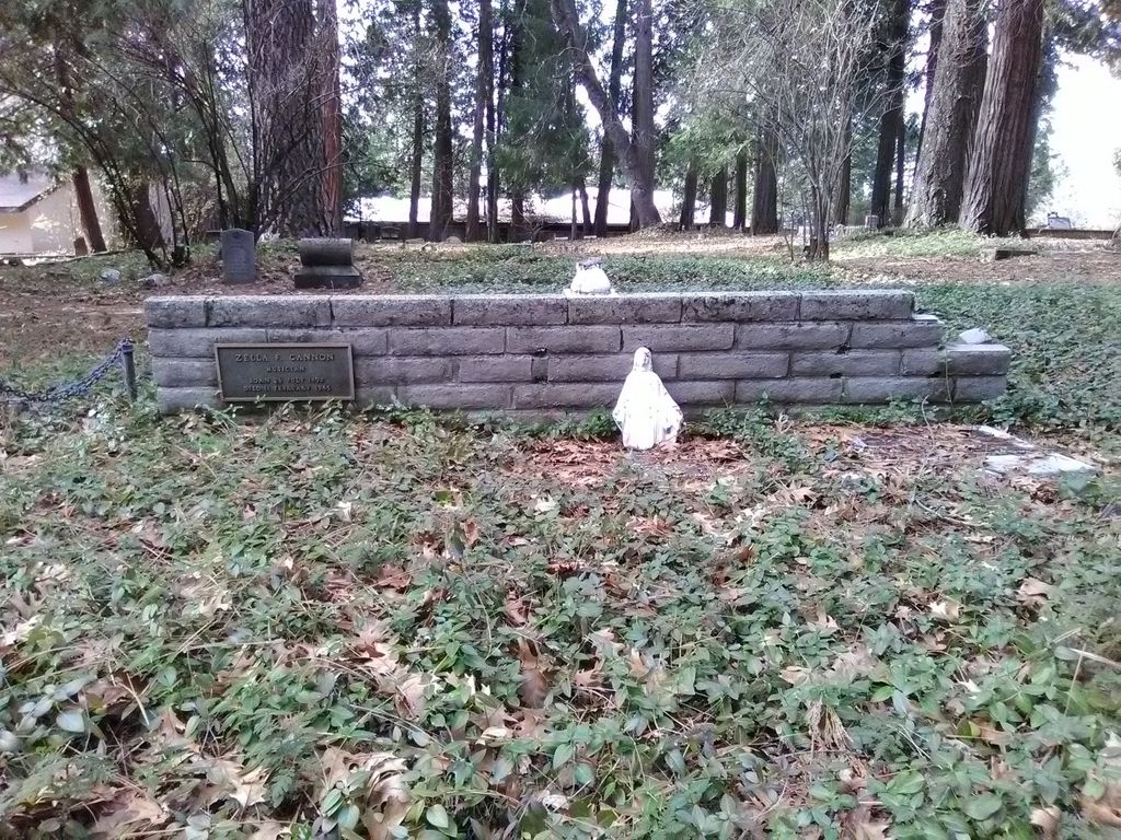
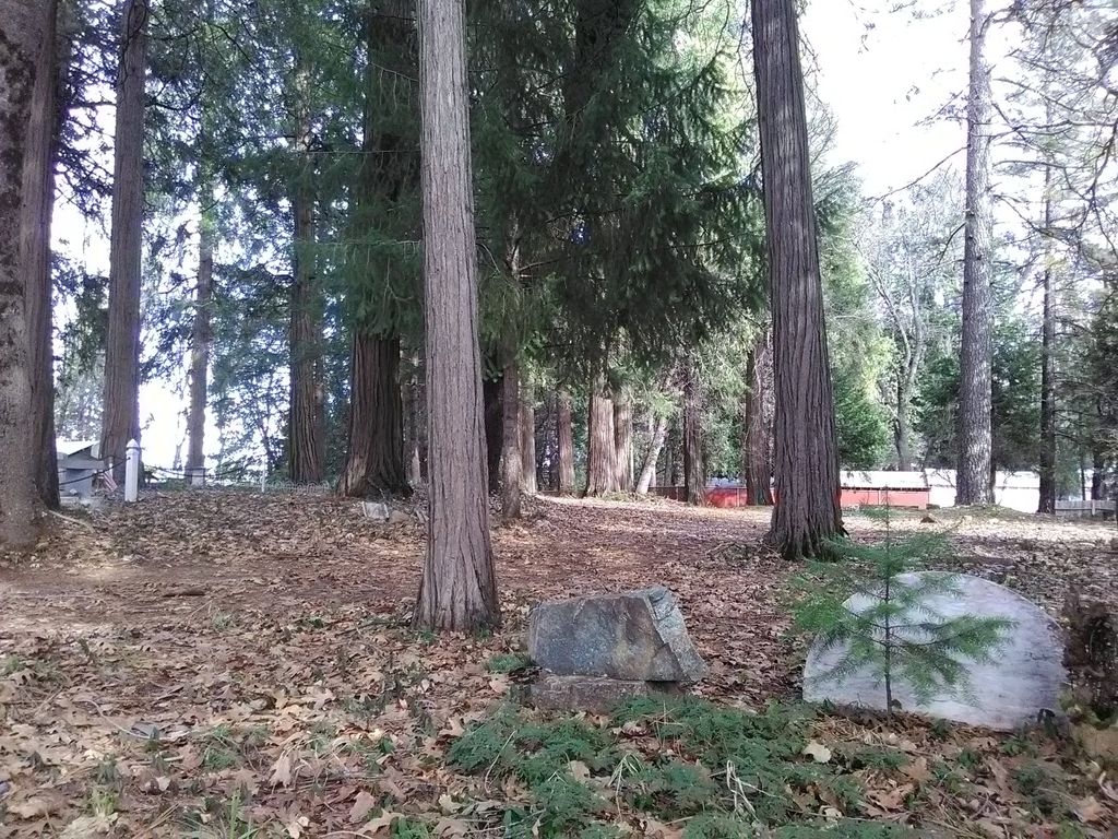
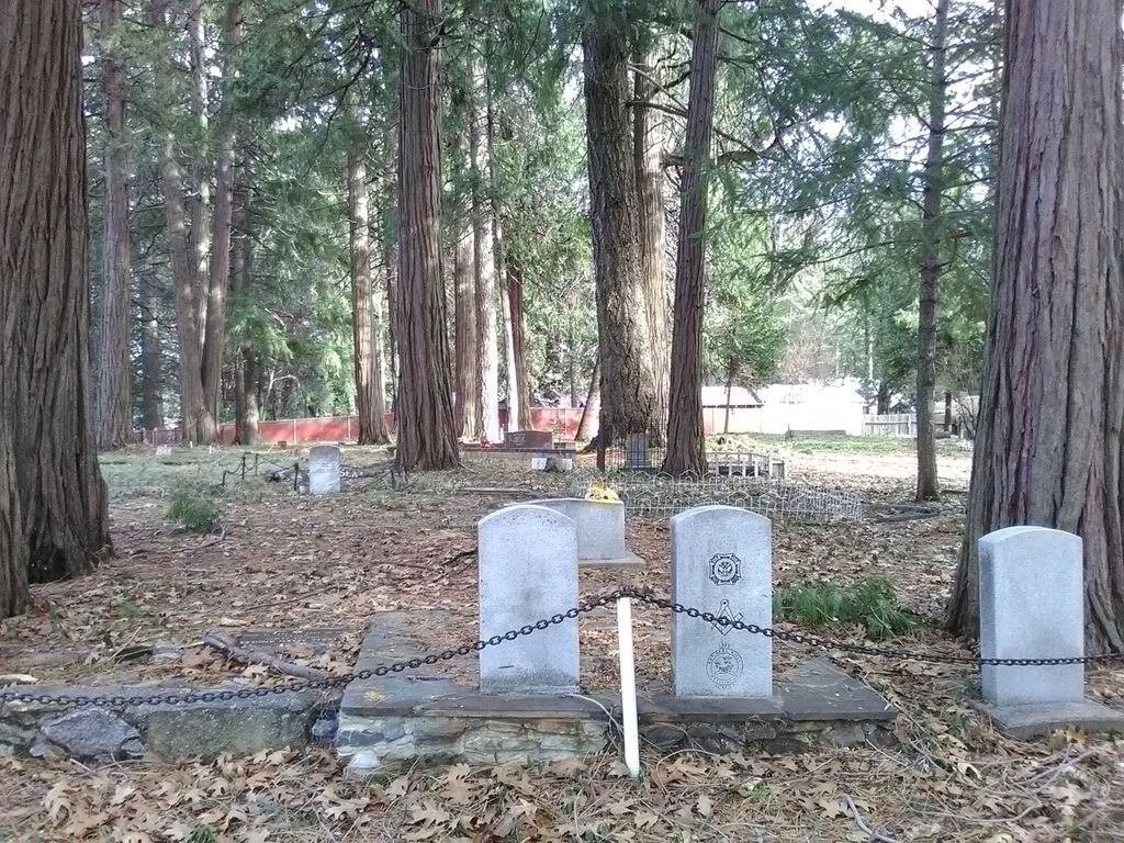
| Description | : | Also known as: Nine Mile House Cemetery, Hartwick Cemetery, Hamilton Cemetery, and Crystal Springs Cemetery History: The Nine-Mile House and it's neighboring cemetery were established ca. 1857 when the State Wagon Road was established over the Sierra Nevada Mountains between Placerville, El Dorado County, California and the town of Genoa in Nevada. In 1887, the Federal land patent to 160 acres of land on which the Nine Mile House Cemetery was located, was issued to Thomas Hartwick. The cemetery continues to be used by the public to the present day. The cemetery appears to receive no formal... Read More |
frequently asked questions (FAQ):
-
Where is Camino Cemetery?
Camino Cemetery is located at Camino, El Dorado County ,California ,USA.
-
Camino Cemetery cemetery's updated grave count on graveviews.com?
3 memorials
-
Where are the coordinates of the Camino Cemetery?
Latitude: 38.7450981
Longitude: -120.6564407
Nearby Cemetories:
1. Blairs-Winkelman Cemetery
Camino, El Dorado County, USA
Coordinate: 38.7547140, -120.7098510
2. Newtown Cemetery
Newtown, El Dorado County, USA
Coordinate: 38.7050410, -120.6787310
3. Pleasant Valley Cemetery
Pleasant Valley, El Dorado County, USA
Coordinate: 38.6809196, -120.6651230
4. Dickinson Family Cemetery
Placerville, El Dorado County, USA
Coordinate: 38.7970450, -120.7269010
5. Nelsonville Cemetery
Placerville, El Dorado County, USA
Coordinate: 38.7894490, -120.7380720
6. Smiths Flat Cemetery
Placerville, El Dorado County, USA
Coordinate: 38.7325287, -120.7552414
7. Andre Family Cemetery
Placerville, El Dorado County, USA
Coordinate: 38.7822250, -120.7466710
8. Jacquier Family Cemetery
Placerville, El Dorado County, USA
Coordinate: 38.7424420, -120.7602750
9. Oak Hill Cemetery
Placerville, El Dorado County, USA
Coordinate: 38.6768990, -120.7481003
10. Uppertown Cemetery
Placerville, El Dorado County, USA
Coordinate: 38.7320900, -120.7890625
11. Methodist Episcopal Federated Cemetery
Placerville, El Dorado County, USA
Coordinate: 38.7283287, -120.7942200
12. Weberville Cemetery
Placerville, El Dorado County, USA
Coordinate: 38.7024170, -120.7901000
13. County Hospital Cemetery
Placerville, El Dorado County, USA
Coordinate: 38.7342796, -120.8028488
14. Old Saint Patricks Cemetery
Placerville, El Dorado County, USA
Coordinate: 38.7249107, -120.8024673
15. Saint Patrick Cemetery
Placerville, El Dorado County, USA
Coordinate: 38.7327995, -120.8047638
16. Old Placerville City Cemetery
Placerville, El Dorado County, USA
Coordinate: 38.7258987, -120.8059464
17. Boles Family Cemetery
Placerville, El Dorado County, USA
Coordinate: 38.7309860, -120.8069580
18. Placerville Union Cemetery
Placerville, El Dorado County, USA
Coordinate: 38.7317390, -120.8084106
19. Jewish Pioneer Cemetery
Placerville, El Dorado County, USA
Coordinate: 38.7299500, -120.8091965
20. Chili Bar Toll House Cemetery
Placerville, El Dorado County, USA
Coordinate: 38.7700530, -120.8177660
21. Odd Fellows Cemetery
Diamond Springs, El Dorado County, USA
Coordinate: 38.6963882, -120.8151932
22. Middletown Cemetery
Placerville, El Dorado County, USA
Coordinate: 38.7358704, -120.8301010
23. Diamond Springs Cemetery
Diamond Springs, El Dorado County, USA
Coordinate: 38.6940960, -120.8186620
24. Carpenter Family Residence Burial Plot
Diamond Springs, El Dorado County, USA
Coordinate: 38.6941590, -120.8187750

