
| Memorials | : | 24 |
| Location | : | Auburn, Placer County, USA |
| Coordinate | : | 38.9183502, -121.0802383 |
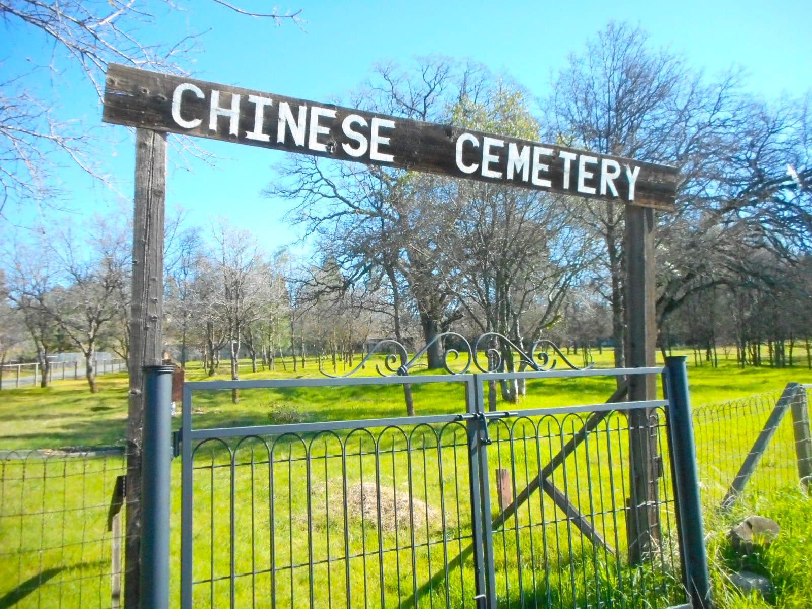
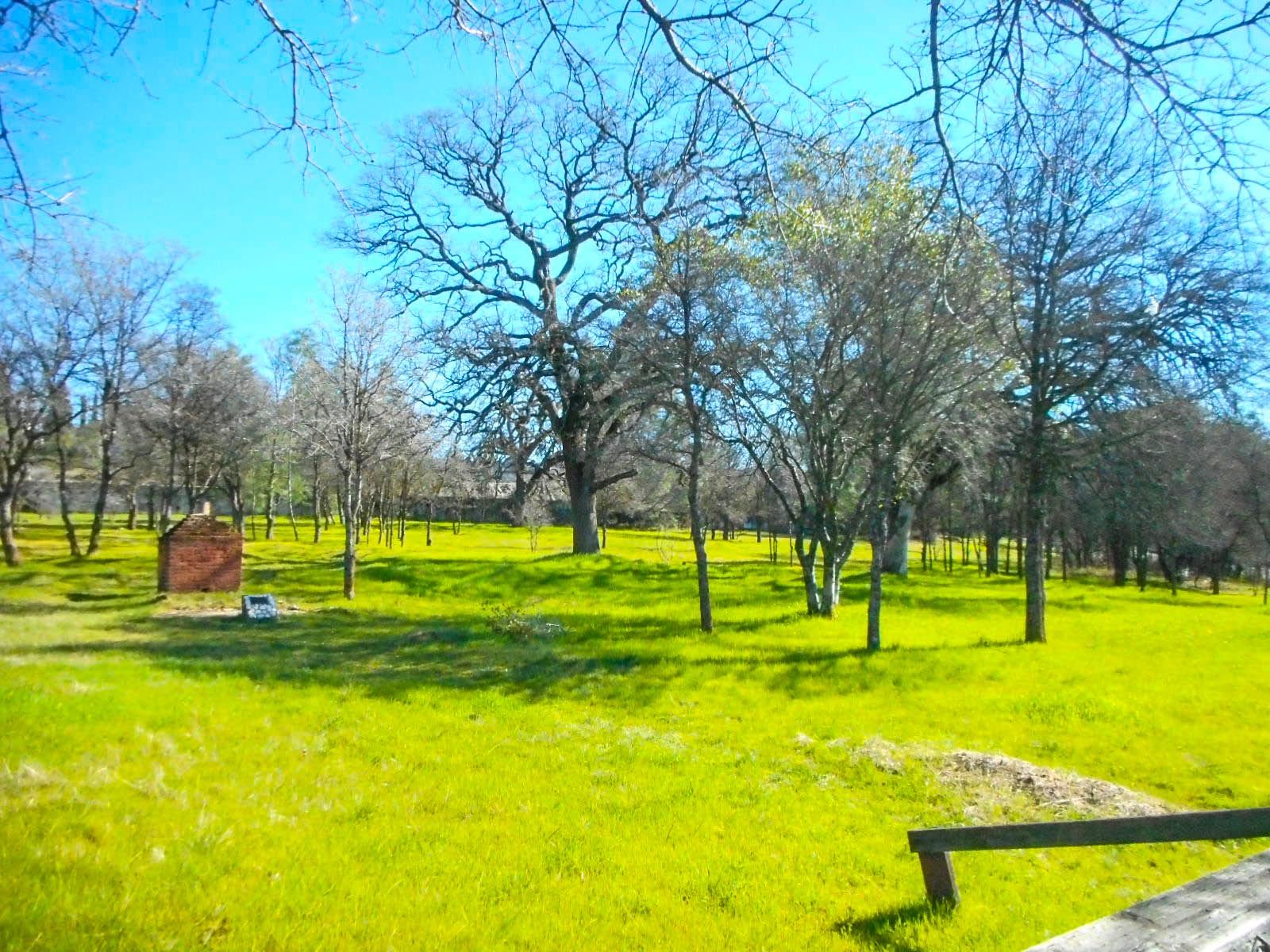
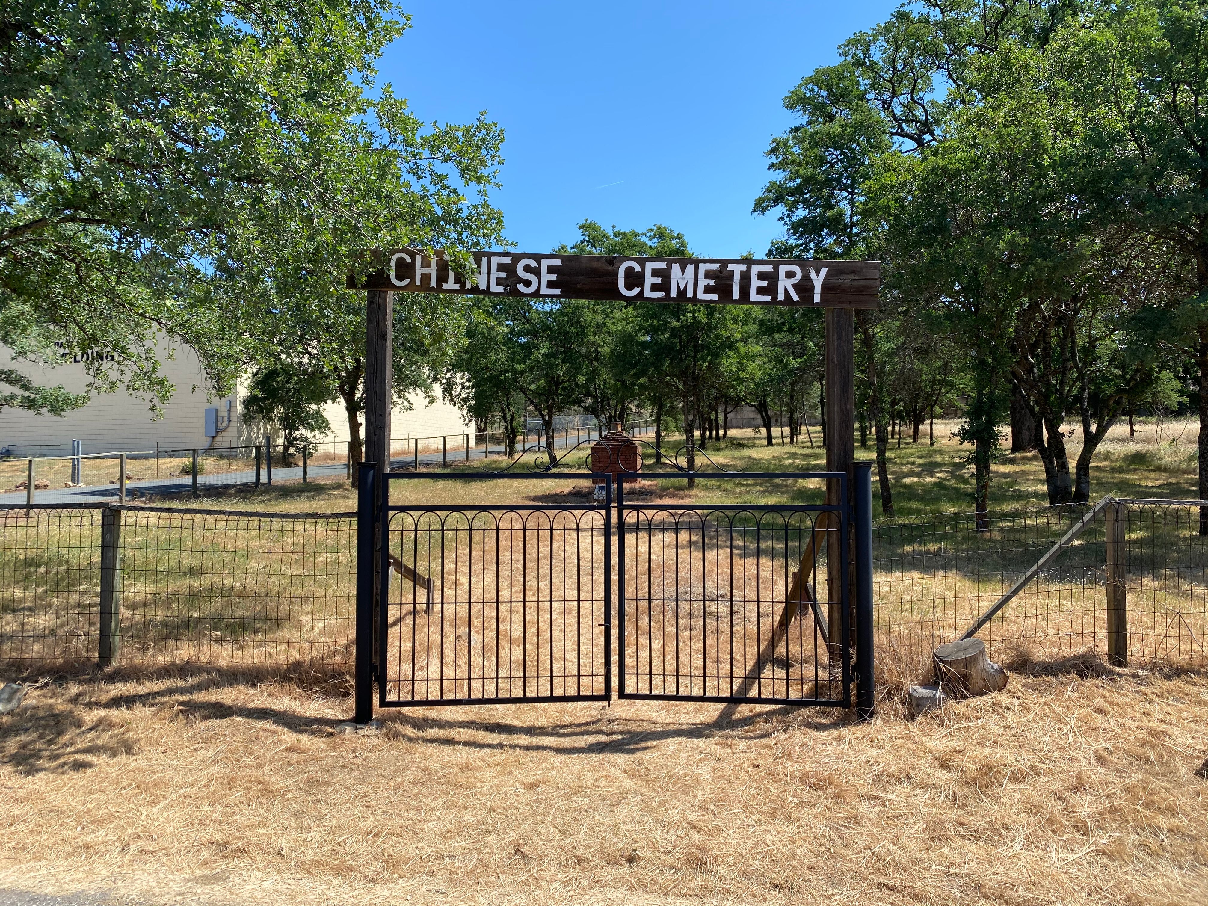
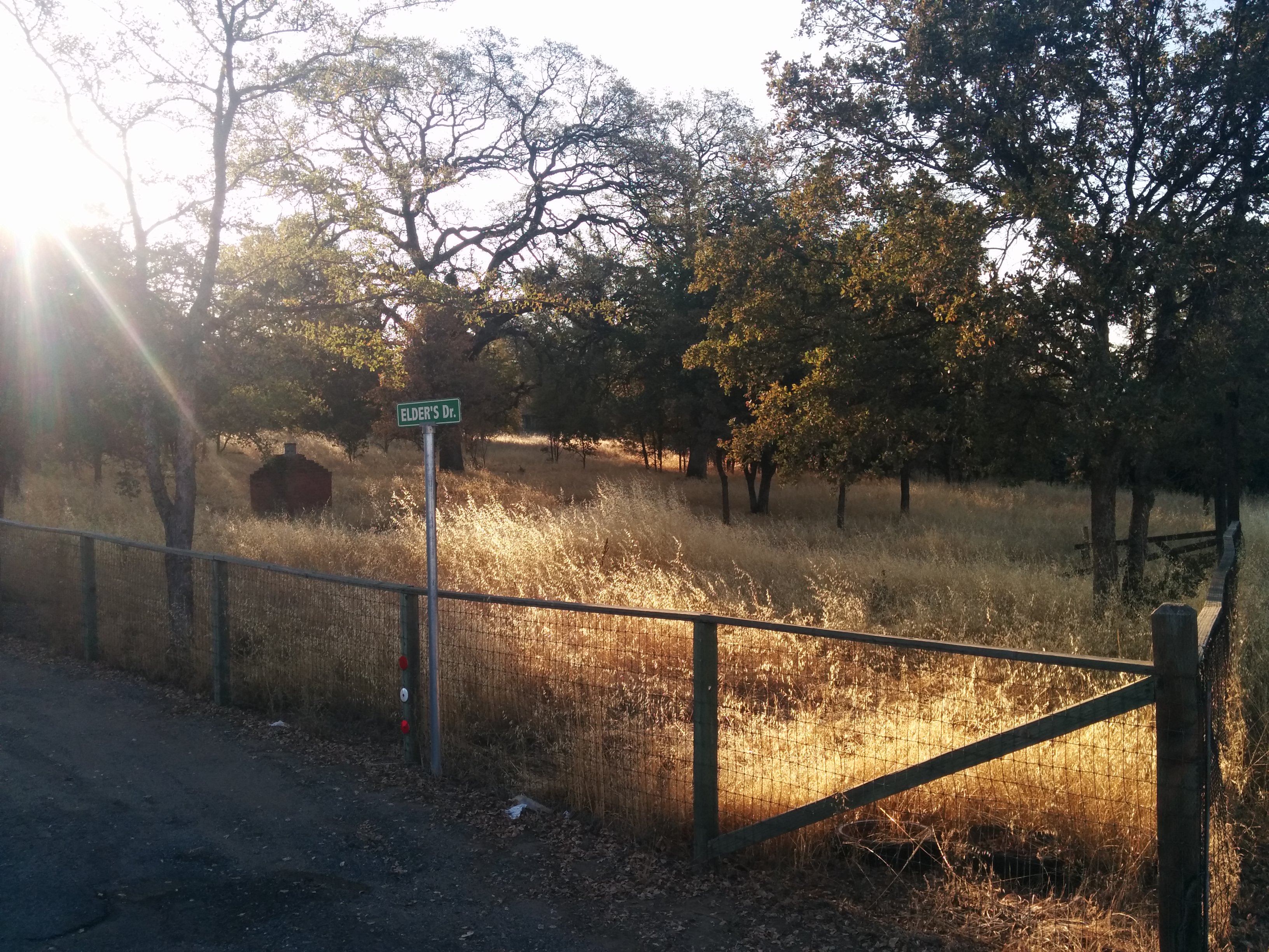
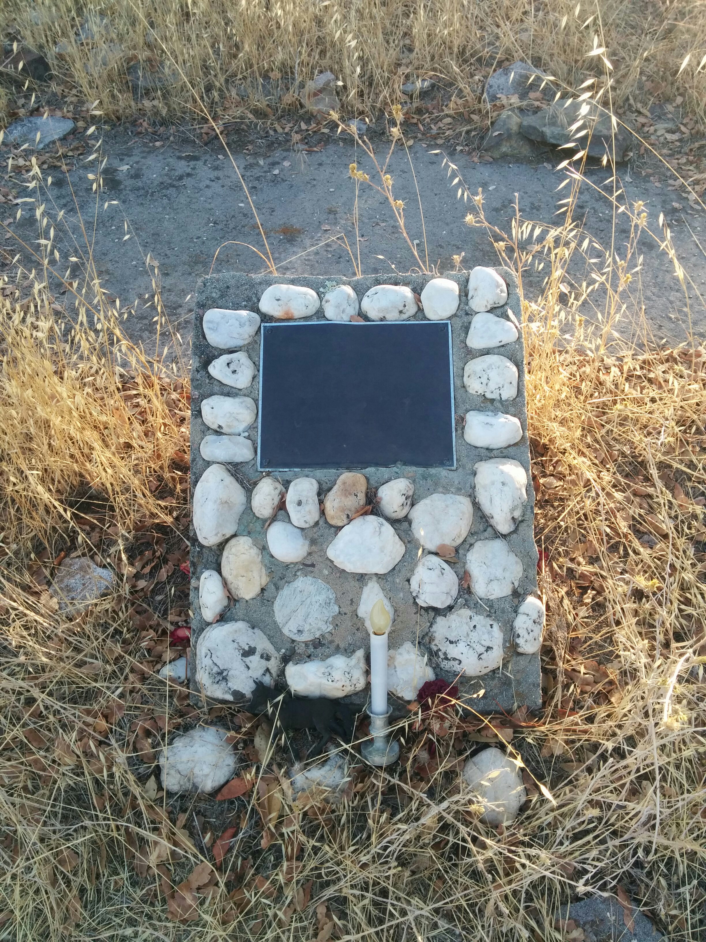
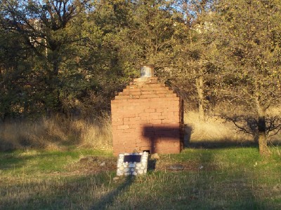
| Description | : | Listed as on Hwy 49-Grass Valley Hwy...turn at Marguerite Mine Rd. and then left up the hill. Road runs parallel with Hwy 49. It appears that the cemetery is off limits (ie:locked gates), but I saw 2 headstones and a large red urn I have showed in one of the pictures. This is quite an old historical cemetery and has an interesting story that I researched. The historic town of Auburn in Placer County, was once the home of thousands of Chinese workers in the early 19th century. The Chinese Cemetery, a 2-1/2 acre site on Highway... Read More |
frequently asked questions (FAQ):
-
Where is Chinese Cemetery?
Chinese Cemetery is located at Auburn, Placer County ,California ,USA.
-
Chinese Cemetery cemetery's updated grave count on graveviews.com?
24 memorials
-
Where are the coordinates of the Chinese Cemetery?
Latitude: 38.9183502
Longitude: -121.0802383
Nearby Cemetories:
1. First Congregational Church Memorial Garden
Auburn, Placer County, USA
Coordinate: 38.9118660, -121.0711770
2. Placer County Hospital Cemetery
Auburn, Placer County, USA
Coordinate: 38.9045120, -121.0721320
3. Old Auburn Cemetery
Auburn, Placer County, USA
Coordinate: 38.9023720, -121.0812230
4. New Auburn Cemetery
Auburn, Placer County, USA
Coordinate: 38.9026900, -121.0870800
5. Clark Ashton Smith Gravesite
Auburn, Placer County, USA
Coordinate: 38.8952100, -121.0770500
6. Bethlehem Lutheran Church Columbarium
Auburn, Placer County, USA
Coordinate: 38.8932350, -121.0749690
7. Maidu Indian Burial Grounds
Auburn, Placer County, USA
Coordinate: 38.8744350, -121.0777290
8. Ophir Cemetery
Placer County, USA
Coordinate: 38.8928870, -121.1273790
9. Wells Cemetery
Auburn, Placer County, USA
Coordinate: 38.9667000, -121.1054900
10. Newcastle Cemetery
Newcastle, Placer County, USA
Coordinate: 38.8708880, -121.1444060
11. Lone Star Cemetery
Placer County, USA
Coordinate: 38.9757996, -121.1380997
12. Clipper Gap Cemetery
Clipper Gap, Placer County, USA
Coordinate: 38.9784880, -121.0256590
13. Gold Hill Cemetery
Gold Hill, Placer County, USA
Coordinate: 38.9025000, -121.1802200
14. Bayley Family Cemetery
Pilot Hill, El Dorado County, USA
Coordinate: 38.8438800, -121.0148900
15. Stewarts Flat Cemetery
Penryn, Placer County, USA
Coordinate: 38.8447360, -121.1507950
16. Rattlesnake Bar Graveyard
Auburn, Placer County, USA
Coordinate: 38.8163050, -121.0895100
17. Pilot Hill Cemetery
Pilot Hill, El Dorado County, USA
Coordinate: 38.8301010, -121.0093307
18. Mansur Family Cemetery
Loomis, Placer County, USA
Coordinate: 38.8139600, -121.1214000
19. Esoteric Fraternity Cemetery
Applegate, Placer County, USA
Coordinate: 38.9946190, -120.9687490
20. Prosser Family Cemetery
Loomis, Placer County, USA
Coordinate: 38.8071900, -121.1285600
21. Spanish Dry Diggings Cemetery
Greenwood, El Dorado County, USA
Coordinate: 38.9431600, -120.9158000
22. Georgetown-Renke Cemetery Annex
Georgetown, El Dorado County, USA
Coordinate: 38.8964610, -120.9116240
23. Greenwood Pioneer Cemetery
Greenwood, El Dorado County, USA
Coordinate: 38.8985786, -120.9099274
24. Weimar Sanatorium Cemetery
Weimar, Placer County, USA
Coordinate: 39.0350200, -120.9834400