| Memorials | : | 6543 |
| Location | : | Newcastle, Placer County, USA |
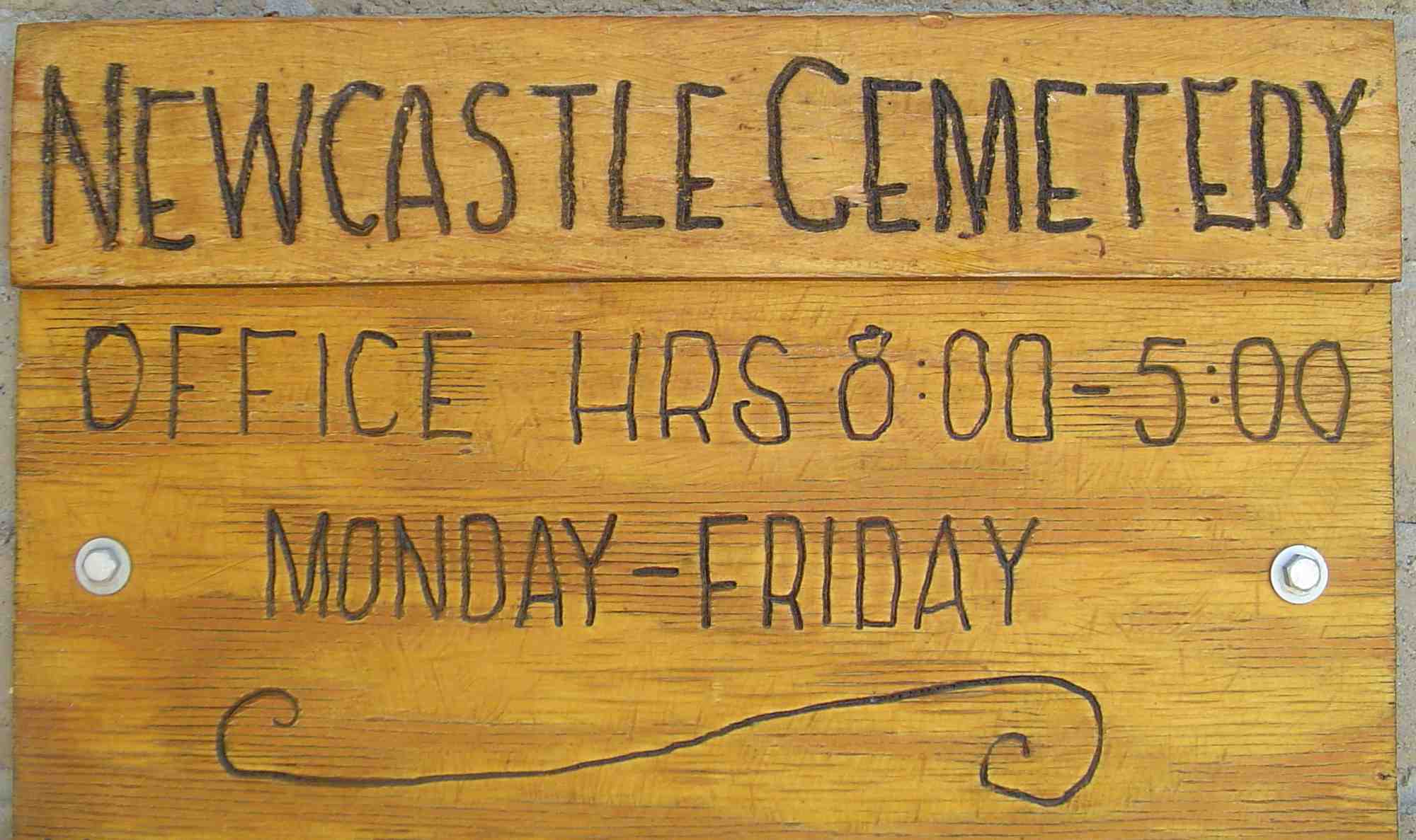
| Phone | : | (916) 663-4660 |
| Coordinate | : | 38.8708880, -121.1444060 |
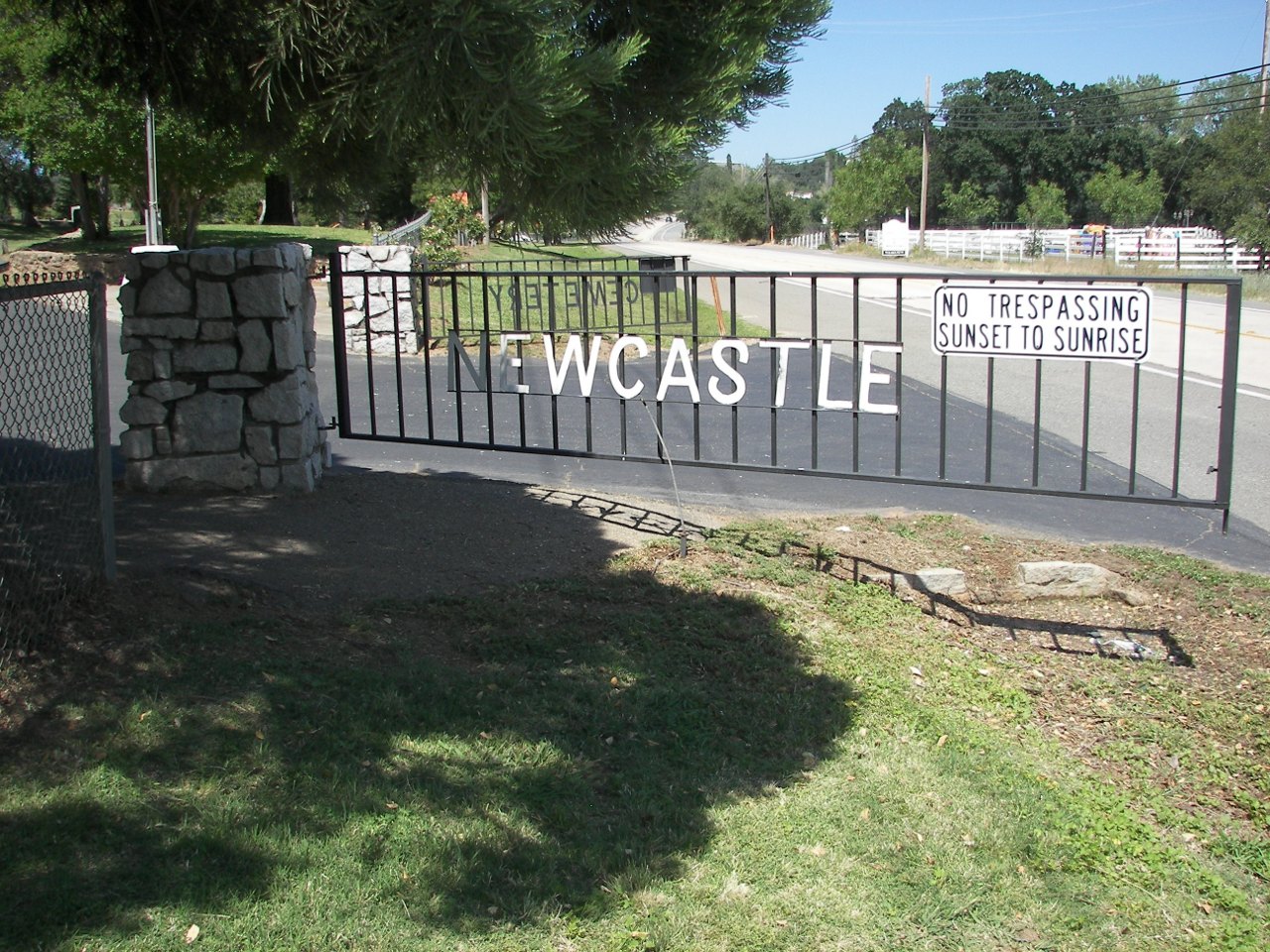
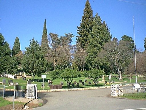
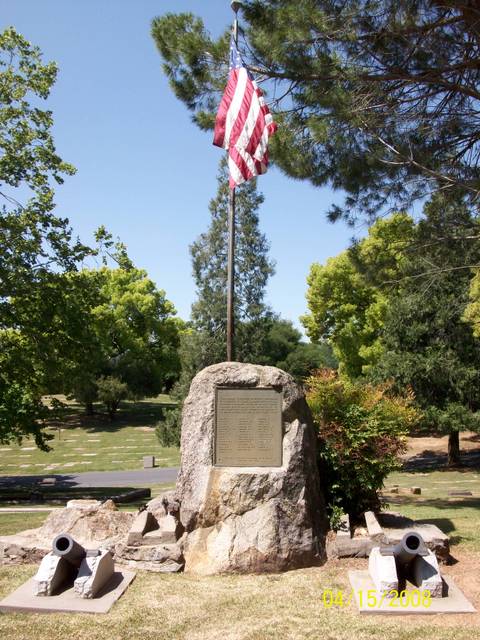
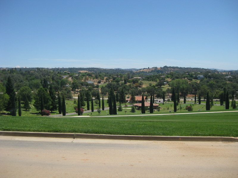
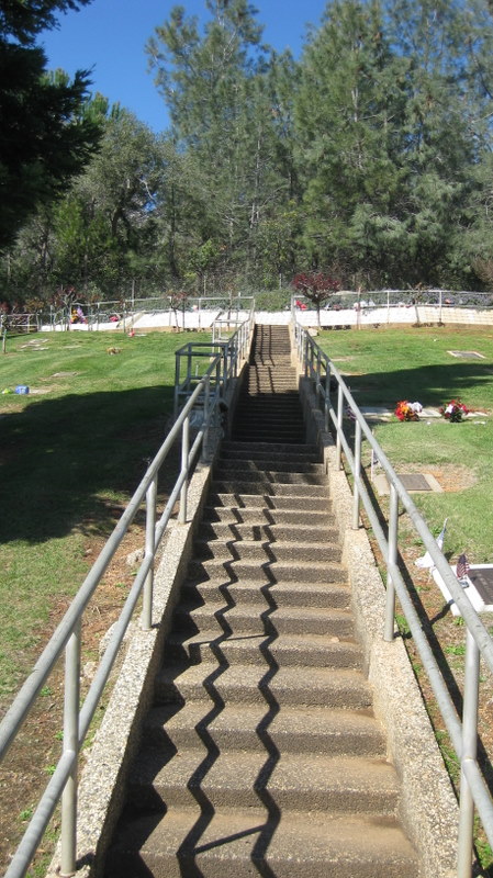
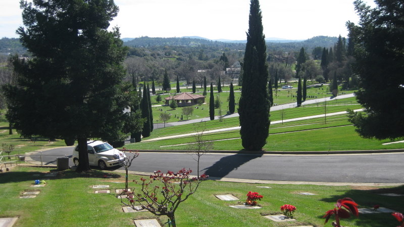
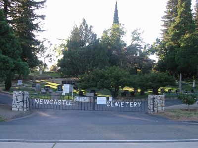
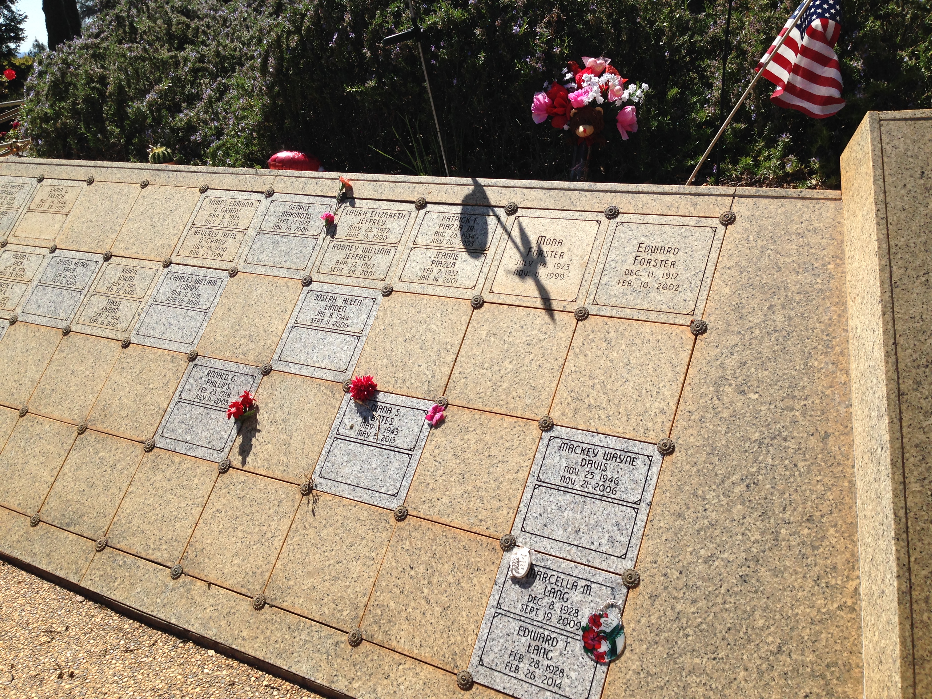
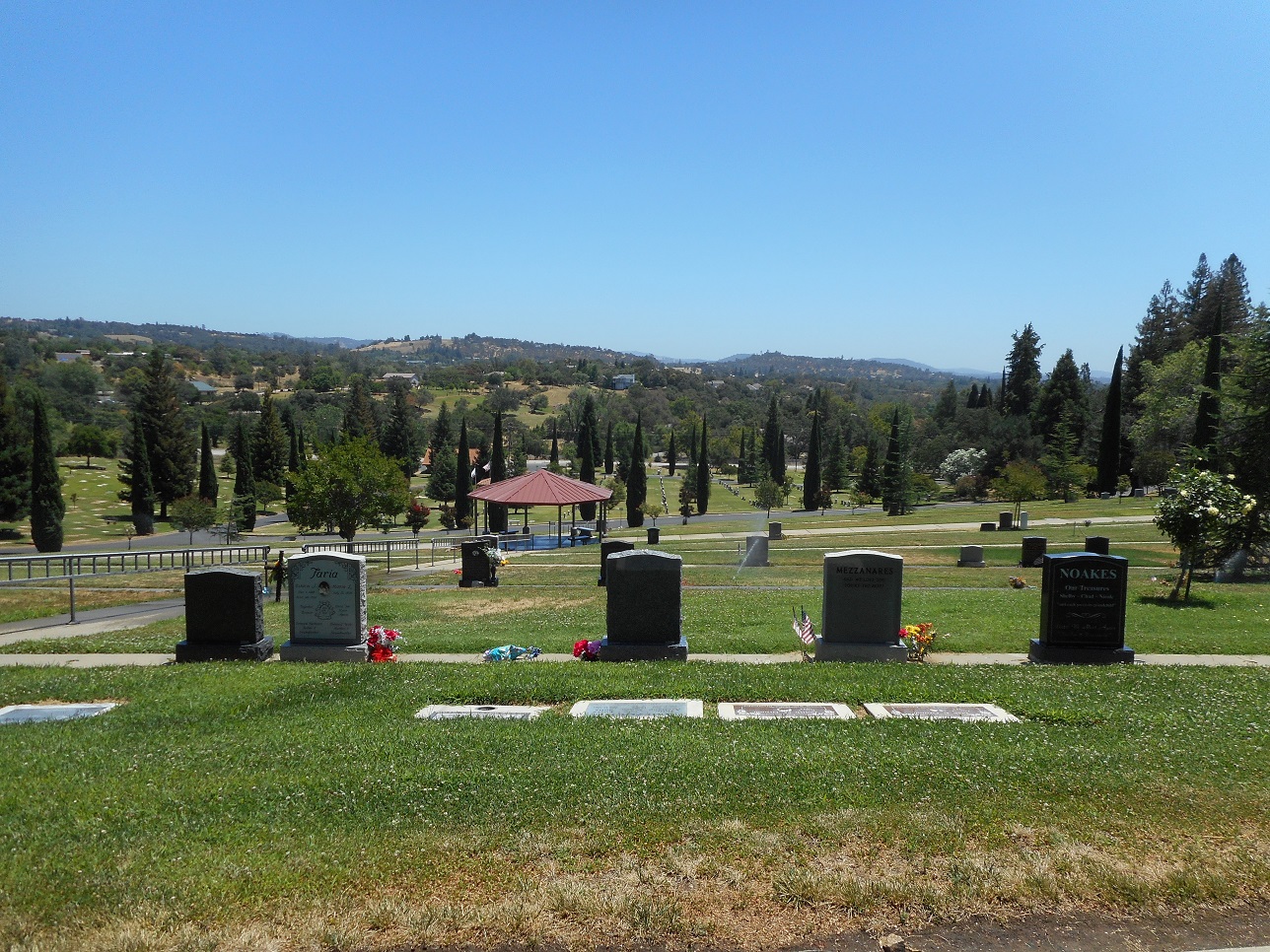
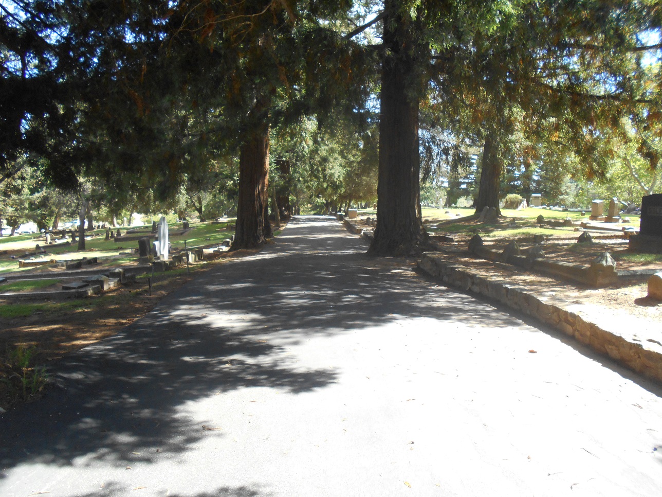
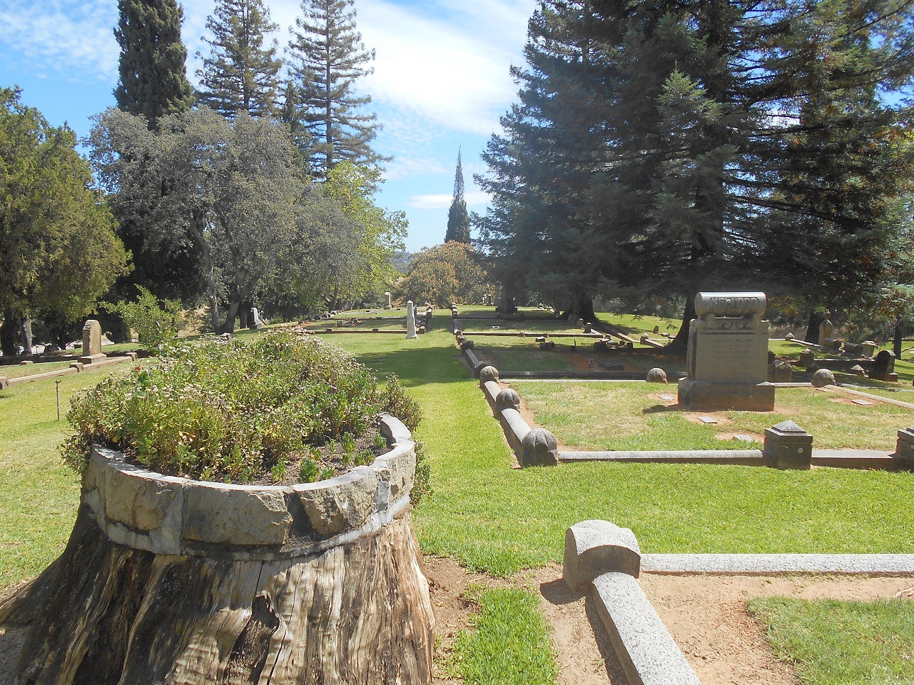
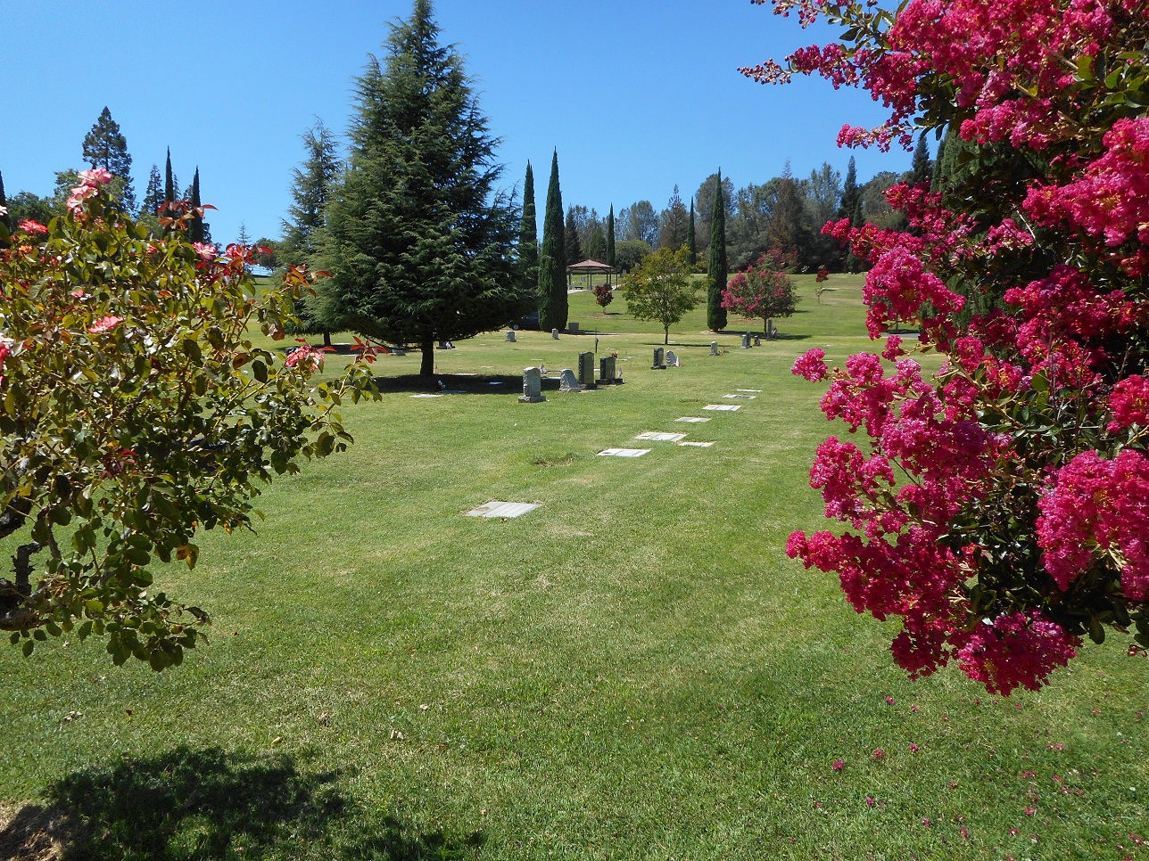
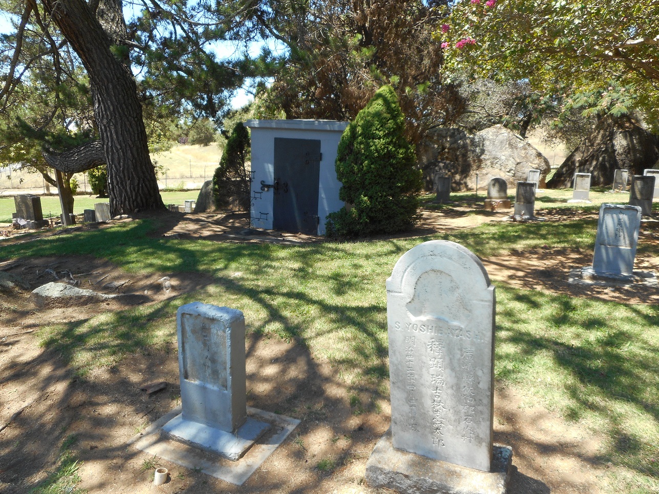
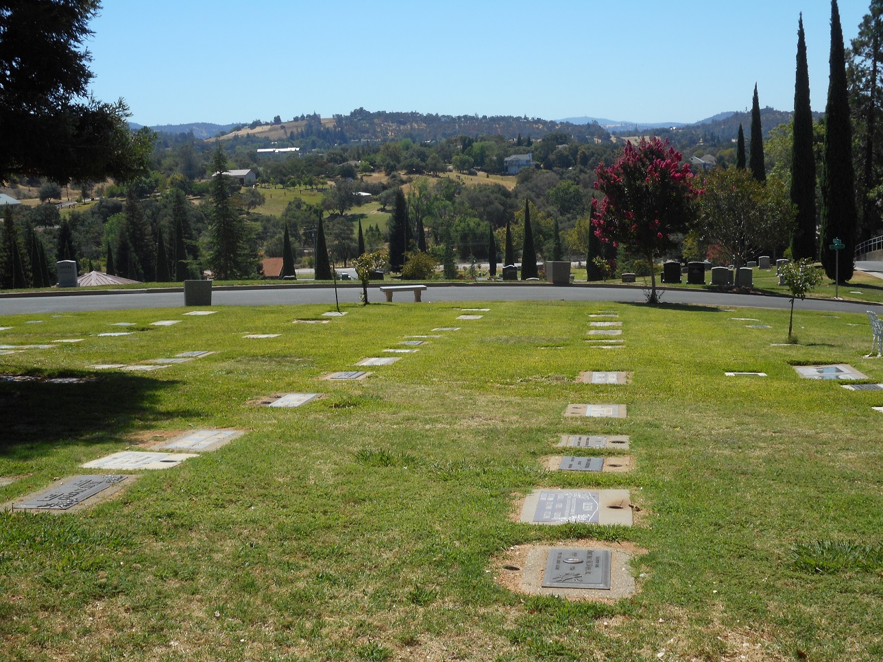
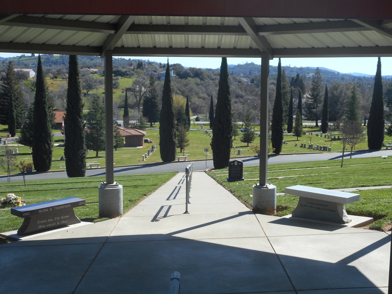
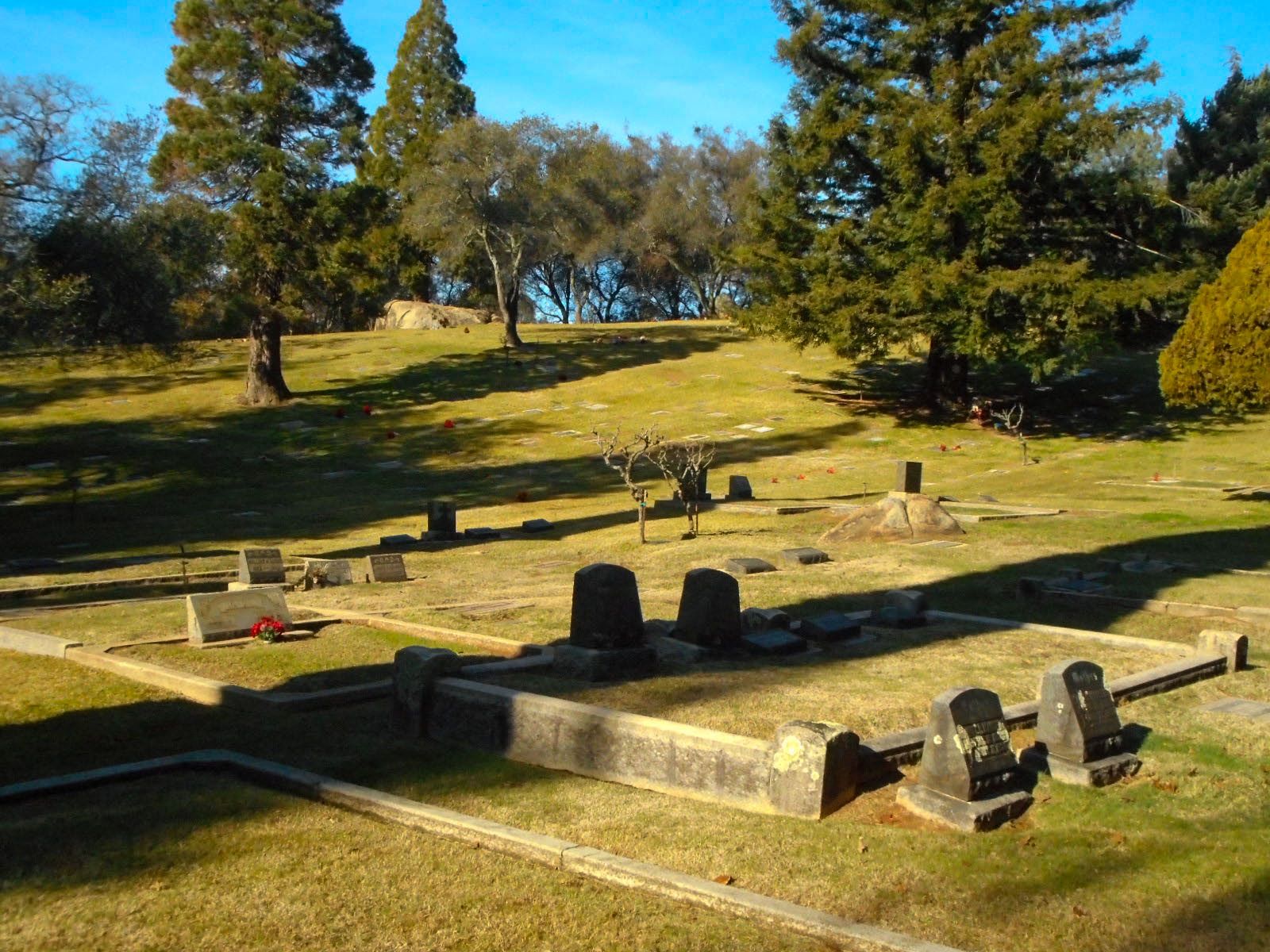
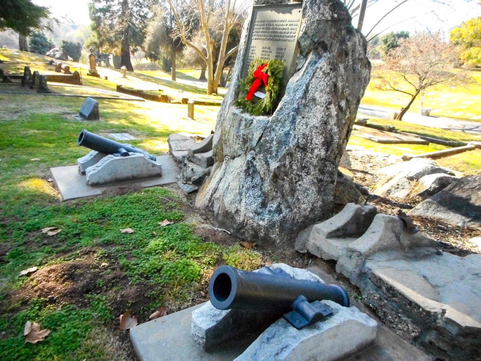
| Description | : | Newcastle Cemetery is located in the foothills of Newcastle, Placer County, California. It's origins go back to the 1850's when many people arrived to the area seeking gold in the Secret Ravine. Pioneers who stayed in the region began to farm and ranch the land and orchards abounded in the area in the late 19th and early 20th century. The fraternal organization - Improved Order Redmen (IORM -) was responsible for the first burials at the cemetery. Rolling hills sweep upward from the Historic Highway 40 (Taylor Road) and the hilly terrain... Read More |
frequently asked questions (FAQ):
-
Where is Newcastle Cemetery?
Newcastle Cemetery is located at 850 Taylor Road Newcastle, Placer County ,California , 95658-9780USA.
-
Newcastle Cemetery cemetery's updated grave count on graveviews.com?
6543 memorials
-
Where are the coordinates of the Newcastle Cemetery?
Latitude: 38.8708880
Longitude: -121.1444060
Nearby Cemetories:
1. Ophir Cemetery
Placer County, USA
Coordinate: 38.8928870, -121.1273790
2. Stewarts Flat Cemetery
Penryn, Placer County, USA
Coordinate: 38.8447360, -121.1507950
3. Gold Hill Cemetery
Gold Hill, Placer County, USA
Coordinate: 38.9025000, -121.1802200
4. Maidu Indian Burial Grounds
Auburn, Placer County, USA
Coordinate: 38.8744350, -121.0777290
5. New Auburn Cemetery
Auburn, Placer County, USA
Coordinate: 38.9026900, -121.0870800
6. Clark Ashton Smith Gravesite
Auburn, Placer County, USA
Coordinate: 38.8952100, -121.0770500
7. Old Auburn Cemetery
Auburn, Placer County, USA
Coordinate: 38.9023720, -121.0812230
8. Bethlehem Lutheran Church Columbarium
Auburn, Placer County, USA
Coordinate: 38.8932350, -121.0749690
9. Mansur Family Cemetery
Loomis, Placer County, USA
Coordinate: 38.8139600, -121.1214000
10. Prosser Family Cemetery
Loomis, Placer County, USA
Coordinate: 38.8071900, -121.1285600
11. Placer County Hospital Cemetery
Auburn, Placer County, USA
Coordinate: 38.9045120, -121.0721320
12. Chinese Cemetery
Auburn, Placer County, USA
Coordinate: 38.9183502, -121.0802383
13. Rattlesnake Bar Graveyard
Auburn, Placer County, USA
Coordinate: 38.8163050, -121.0895100
14. First Congregational Church Memorial Garden
Auburn, Placer County, USA
Coordinate: 38.9118660, -121.0711770
15. Shepherd of the Sierra Memorial Garden
Loomis, Placer County, USA
Coordinate: 38.7890800, -121.1944200
16. Whitney Family Mausoleum
Rocklin, Placer County, USA
Coordinate: 38.8256500, -121.2477000
17. Wells Cemetery
Auburn, Placer County, USA
Coordinate: 38.9667000, -121.1054900
18. Bayley Family Cemetery
Pilot Hill, El Dorado County, USA
Coordinate: 38.8438800, -121.0148900
19. Lone Star Cemetery
Placer County, USA
Coordinate: 38.9757996, -121.1380997
20. Rocklin Cemetery
Rocklin, Placer County, USA
Coordinate: 38.7827670, -121.2337980
21. Pilot Hill Cemetery
Pilot Hill, El Dorado County, USA
Coordinate: 38.8301010, -121.0093307
22. Lincoln Cemetery
Lincoln, Placer County, USA
Coordinate: 38.8864310, -121.3020500
23. Clipper Gap Cemetery
Clipper Gap, Placer County, USA
Coordinate: 38.9784880, -121.0256590
24. Santa Clara Memorial Park
Lincoln, Placer County, USA
Coordinate: 38.8894710, -121.3260560

