
| Memorials | : | 107 |
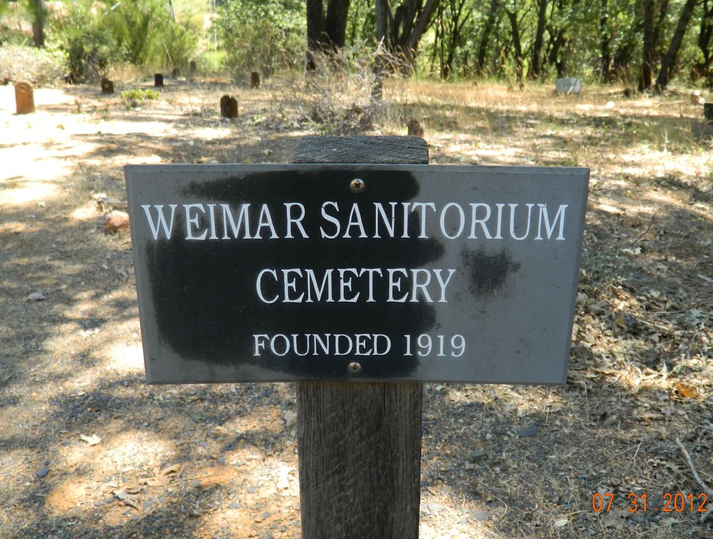
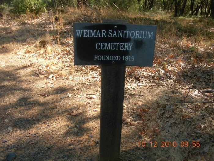
| Location | : | Weimar, Placer County, USA |
| Coordinate | : | 39.0350200, -120.9834400 |
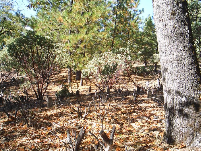
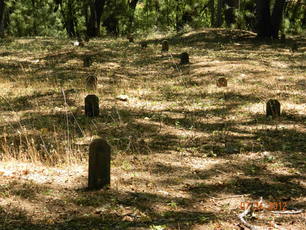
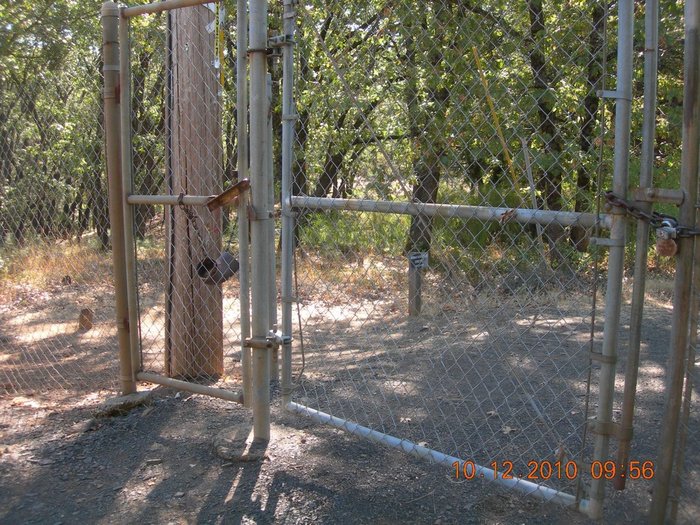
| Description | : | BEFORE GOING TO TAKE A PHOTO IN THIS CEMETERY, you need to get the plot number from the Find a Grave memorial. This cemetery does not have names on the grave markers, just a number. Also note that there are TWO sections to the cemetery: one is at the gate where you enter; the other is to the right down the hill. Please DO NOT ADD ENTRIES TO THIS CEMETERY unless they were buried after 2012. All of the burials prior to and including 2012 have been researched and entries have been made on Find a Grave. Just because someone died... Read More |
frequently asked questions (FAQ):
-
Where is Weimar Sanatorium Cemetery?
Weimar Sanatorium Cemetery is located at Weimar, Placer County ,California ,USA.
-
Weimar Sanatorium Cemetery cemetery's updated grave count on graveviews.com?
63 memorials
-
Where are the coordinates of the Weimar Sanatorium Cemetery?
Latitude: 39.0350200
Longitude: -120.9834400
Nearby Cemetories:
1. Esoteric Fraternity Cemetery
Applegate, Placer County, USA
Coordinate: 38.9946190, -120.9687490
2. Colfax Indian Cemetery
Colfax, Placer County, USA
Coordinate: 39.0909900, -120.9503000
3. Clipper Gap Cemetery
Clipper Gap, Placer County, USA
Coordinate: 38.9784880, -121.0256590
4. Colfax Cemetery
Colfax, Placer County, USA
Coordinate: 39.0979522, -120.9471644
5. Spring Garden Indian Cemetery
Foresthill, Placer County, USA
Coordinate: 38.9998620, -120.9049310
6. Yankee Jims Cemetery
Foresthill, Placer County, USA
Coordinate: 39.0292511, -120.8614349
7. Cunningham Cemetery
Grass Valley, Nevada County, USA
Coordinate: 39.1105600, -121.0756000
8. Spanish Dry Diggings Cemetery
Greenwood, El Dorado County, USA
Coordinate: 38.9431600, -120.9158000
9. Todd Valley Cemetery
Placer County, USA
Coordinate: 38.9970900, -120.8541000
10. Saint Paul Lutheran Cemetery
Pinecrest, Nevada County, USA
Coordinate: 39.1475900, -120.9649400
11. Wells Cemetery
Auburn, Placer County, USA
Coordinate: 38.9667000, -121.1054900
12. Belle Haven Farm Family Cemetery
Pinecrest, Nevada County, USA
Coordinate: 39.1570100, -120.9664300
13. Iowa Hill Chinese Cemetery
Iowa Hill, Placer County, USA
Coordinate: 39.1113090, -120.8573260
14. Saint Dominics Catholic Cemetery
Iowa Hill, Placer County, USA
Coordinate: 39.1108880, -120.8568740
15. Old Iowa Hill Cemetery
Iowa Hill, Placer County, USA
Coordinate: 39.1116667, -120.8575000
16. Lone Star Cemetery
Placer County, USA
Coordinate: 38.9757996, -121.1380997
17. Foresthill Community Cemetery
Foresthill, Placer County, USA
Coordinate: 39.0184500, -120.8114700
18. Saint Joseph Catholic Cemetery
Foresthill, Placer County, USA
Coordinate: 39.0240200, -120.8068800
19. Chinese Cemetery
Auburn, Placer County, USA
Coordinate: 38.9183502, -121.0802383
20. First Congregational Church Memorial Garden
Auburn, Placer County, USA
Coordinate: 38.9118660, -121.0711770
21. Placer County Hospital Cemetery
Auburn, Placer County, USA
Coordinate: 38.9045120, -121.0721320
22. Greenwood Pioneer Cemetery
Greenwood, El Dorado County, USA
Coordinate: 38.8985786, -120.9099274
23. Loney-Sanford Cemetery
Grass Valley, Nevada County, USA
Coordinate: 39.1047050, -121.1525290
24. Elster Memorial Cemetery
Grass Valley, Nevada County, USA
Coordinate: 39.1050790, -121.1530230