| Memorials | : | 41 |
| Location | : | Southwark, London Borough of Southwark, England |
| Coordinate | : | 51.5061200, -0.1053500 |
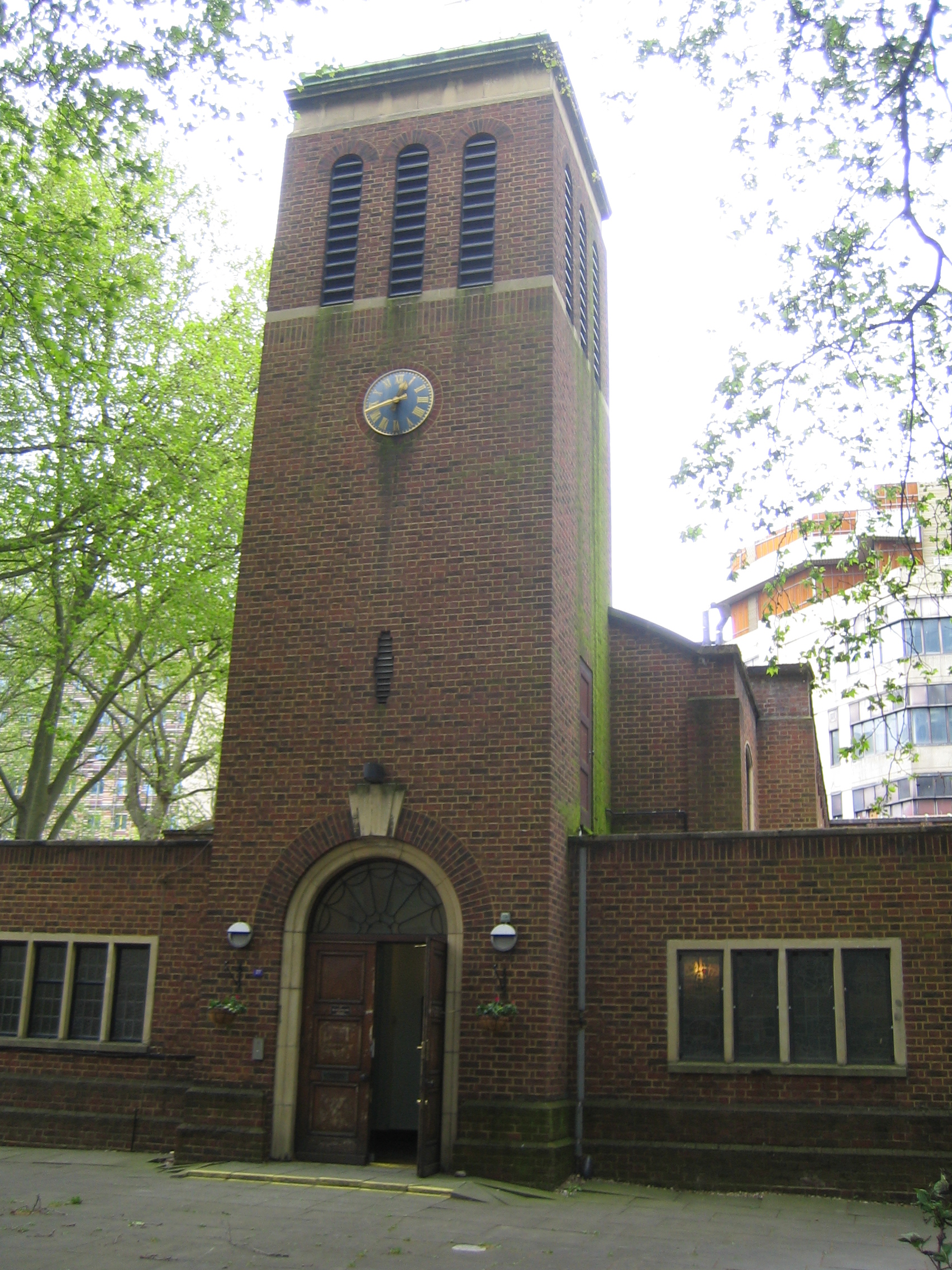
| Description | : | The first church on this site was built in 1670, paid for by a legacy from John Marshall, a local businessman, on land given by William Angell, the Lord of the Manor of Paris Gardens. The church, serving the rapidly increasing population on the south side of the Thames, sank into the Lambeth Marsh and had to be demolished. The second church, constructed on piles, survived for 200 years until bombed in 1941. The current building was erected in 1959, paid for and owned by the Marshall's Charity. The Trustees generously support the maintenance of the building and the cost... Read More |
frequently asked questions (FAQ):
-
Where is Christ Church Churchyard?
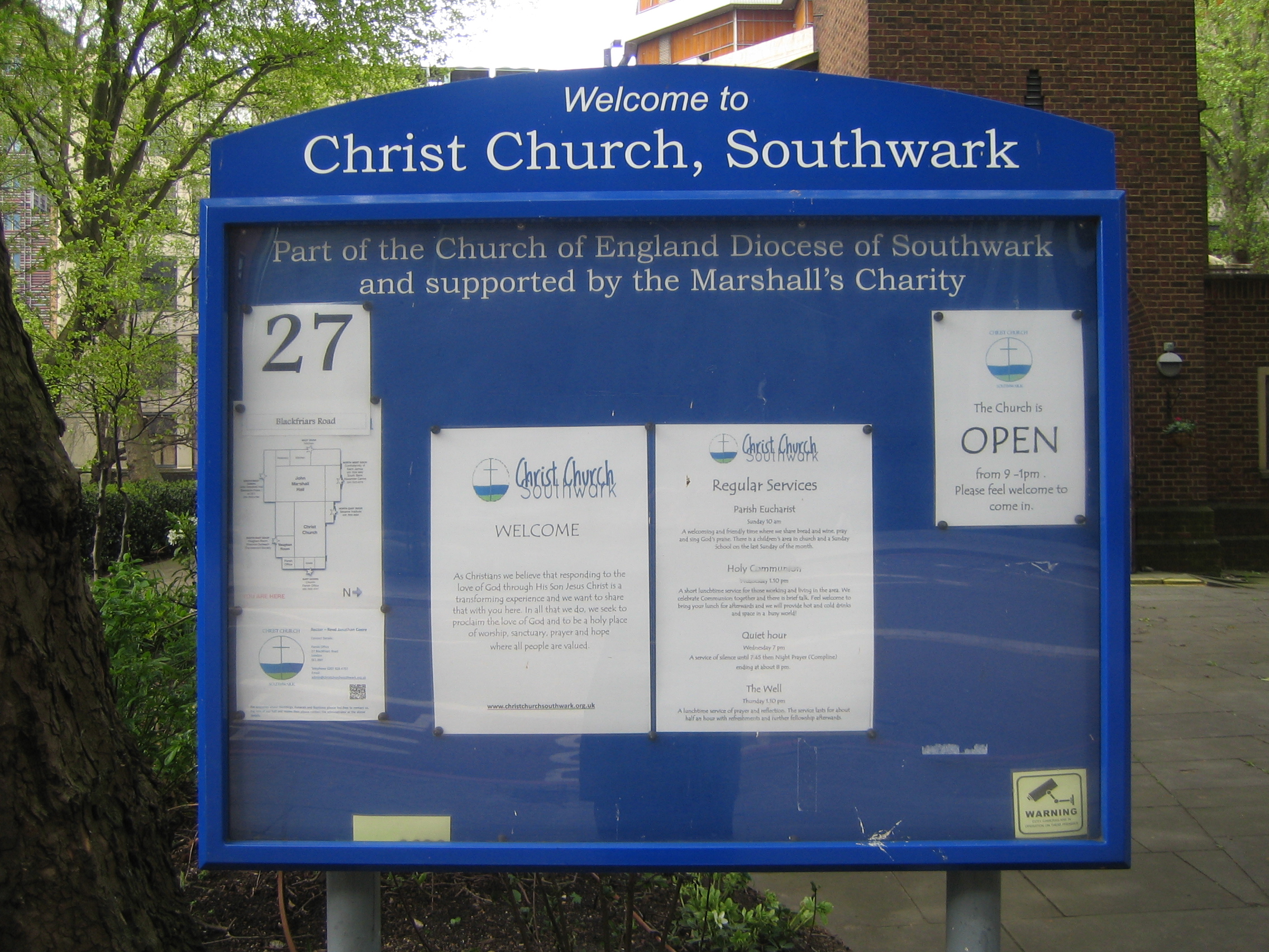
Christ Church Churchyard is located at Blackfriars Road Southwark, London Borough of Southwark ,Greater London ,England.
-
Christ Church Churchyard cemetery's updated grave count on graveviews.com?
41 memorials
-
Where are the coordinates of the Christ Church Churchyard?
Latitude: 51.5061200
Longitude: -0.1053500
Nearby Cemetories:
1. Ewer Street Burial Ground
Southwark, London Borough of Southwark, England
Coordinate: 51.5045560, -0.0990240
2. St John the Evangelist Churchyard
Waterloo, London Borough of Lambeth, England
Coordinate: 51.5044620, -0.1123090
3. Baptist Chapel Burial Ground
Southwark, London Borough of Southwark, England
Coordinate: 51.5027900, -0.0978580
4. St. Benet's Churchyard
Queenhithe, City of London, England
Coordinate: 51.5117110, -0.0993280
5. St Andrew-by-the-Wardrobe
London, City of London, England
Coordinate: 51.5123850, -0.1012230
6. Deadman's Place Burial Ground
Southwark, London Borough of Southwark, England
Coordinate: 51.5056040, -0.0944280
7. St. Ann Blackfriars
London, City of London, England
Coordinate: 51.5129180, -0.1021170
8. Blackfriars Priory
Blackfriars, City of London, England
Coordinate: 51.5129730, -0.1021110
9. St Bride Churchyard
Fleet Street, City of London, England
Coordinate: 51.5137970, -0.1057060
10. Crossbones Cemetery
Southwark, London Borough of Southwark, England
Coordinate: 51.5041500, -0.0933730
11. St Nicholas Cole Abbey
London, City of London, England
Coordinate: 51.5121160, -0.0969270
12. St Martin Churchyard
Ludgate, City of London, England
Coordinate: 51.5140390, -0.1020430
13. St George's Cathedral
Southwark, London Borough of Southwark, England
Coordinate: 51.4976900, -0.1076110
14. Saint Paul's Cathedral
London, City of London, England
Coordinate: 51.5136110, -0.0983330
15. St. Saviour's Almshouses Cemetery
Southwark, London Borough of Southwark, England
Coordinate: 51.5051460, -0.0914880
16. St Dunstan in the West Burial Ground
Fleet Street, City of London, England
Coordinate: 51.5142540, -0.1102480
17. St James Garlickhythe Churchyard
London, City of London, England
Coordinate: 51.5111070, -0.0937560
18. St Clement Danes Churchyard
City of Westminster, England
Coordinate: 51.5131070, -0.1138980
19. St. John the Evangelist Churchyard
Bread Street, City of London, England
Coordinate: 51.5124910, -0.0954840
20. Holy Trinity the Less Churchyard (Defunct)
London, City of London, England
Coordinate: 51.5119670, -0.0944820
21. St Mildred Bread Street Church Demolished
London, City of London, England
Coordinate: 51.5123790, -0.0950740
22. St. Faith under St. Paul Churchyard and Crypt
London, City of London, England
Coordinate: 51.5142580, -0.0990860
23. Gough Square
London, City of London, England
Coordinate: 51.5150590, -0.1077440
24. St. Margaret Churchyard
Southwark, London Borough of Southwark, England
Coordinate: 51.5044900, -0.0907270


