
| Memorials | : | 0 |
| Location | : | Folsom, Sacramento County, USA |
| Coordinate | : | 38.6698410, -121.1851790 |
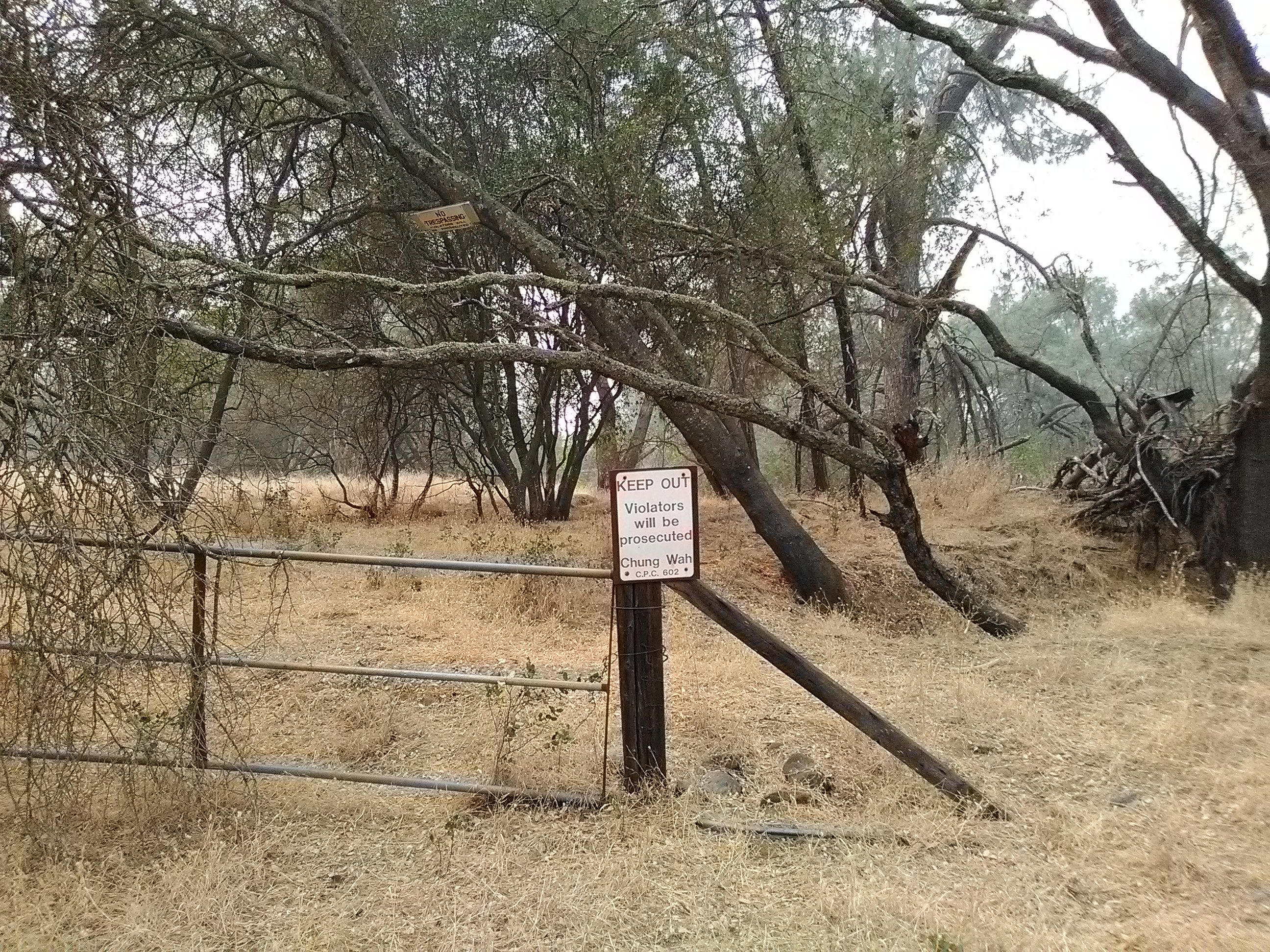
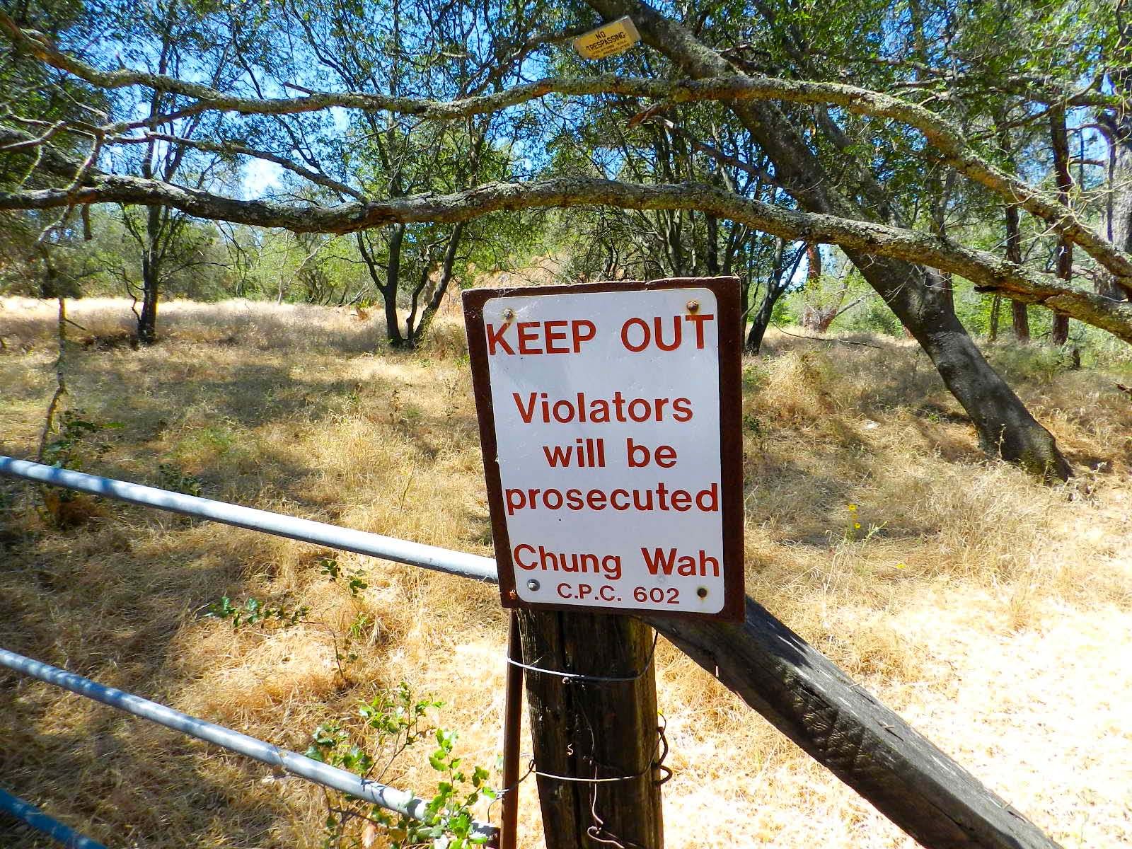
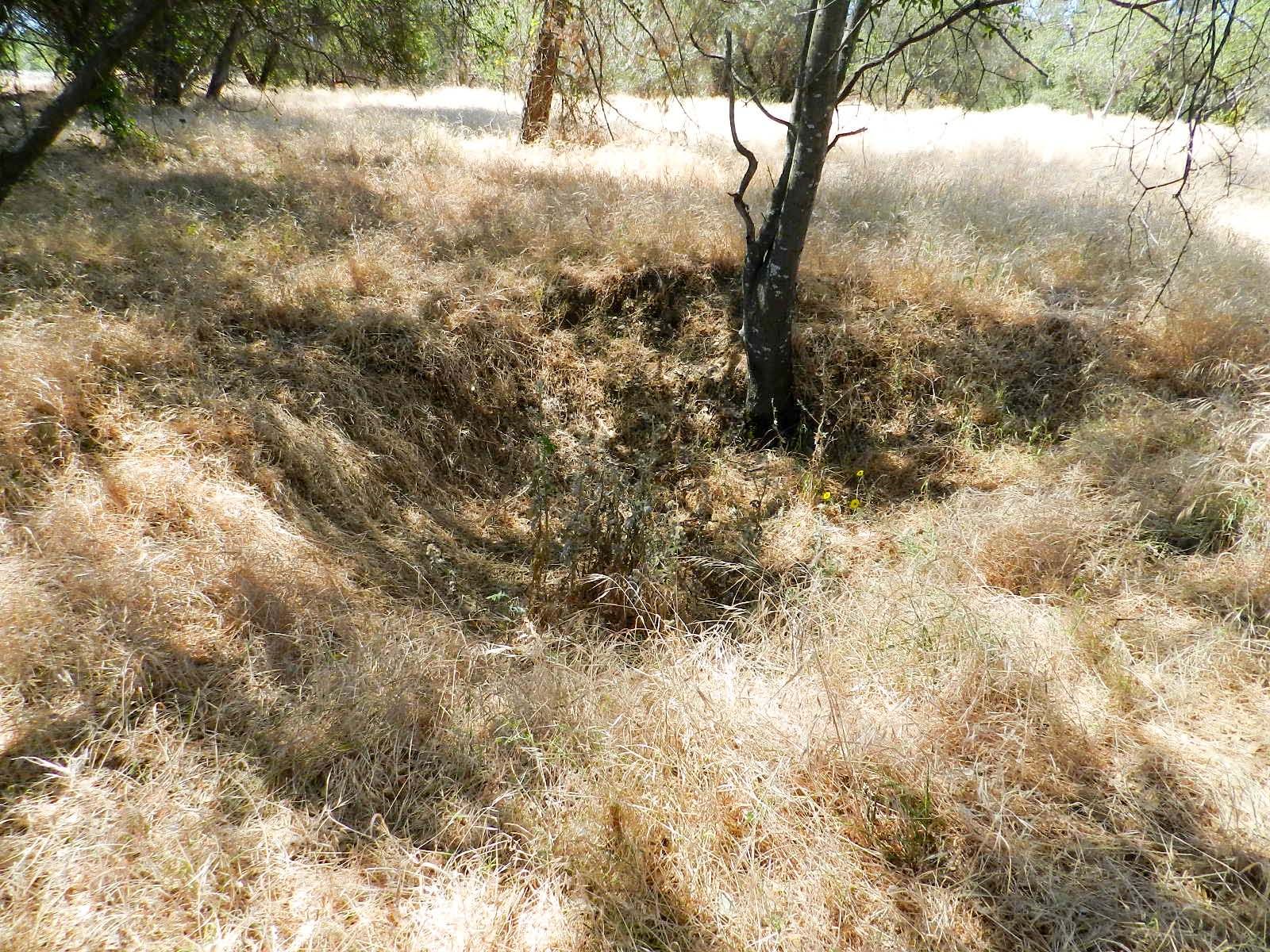
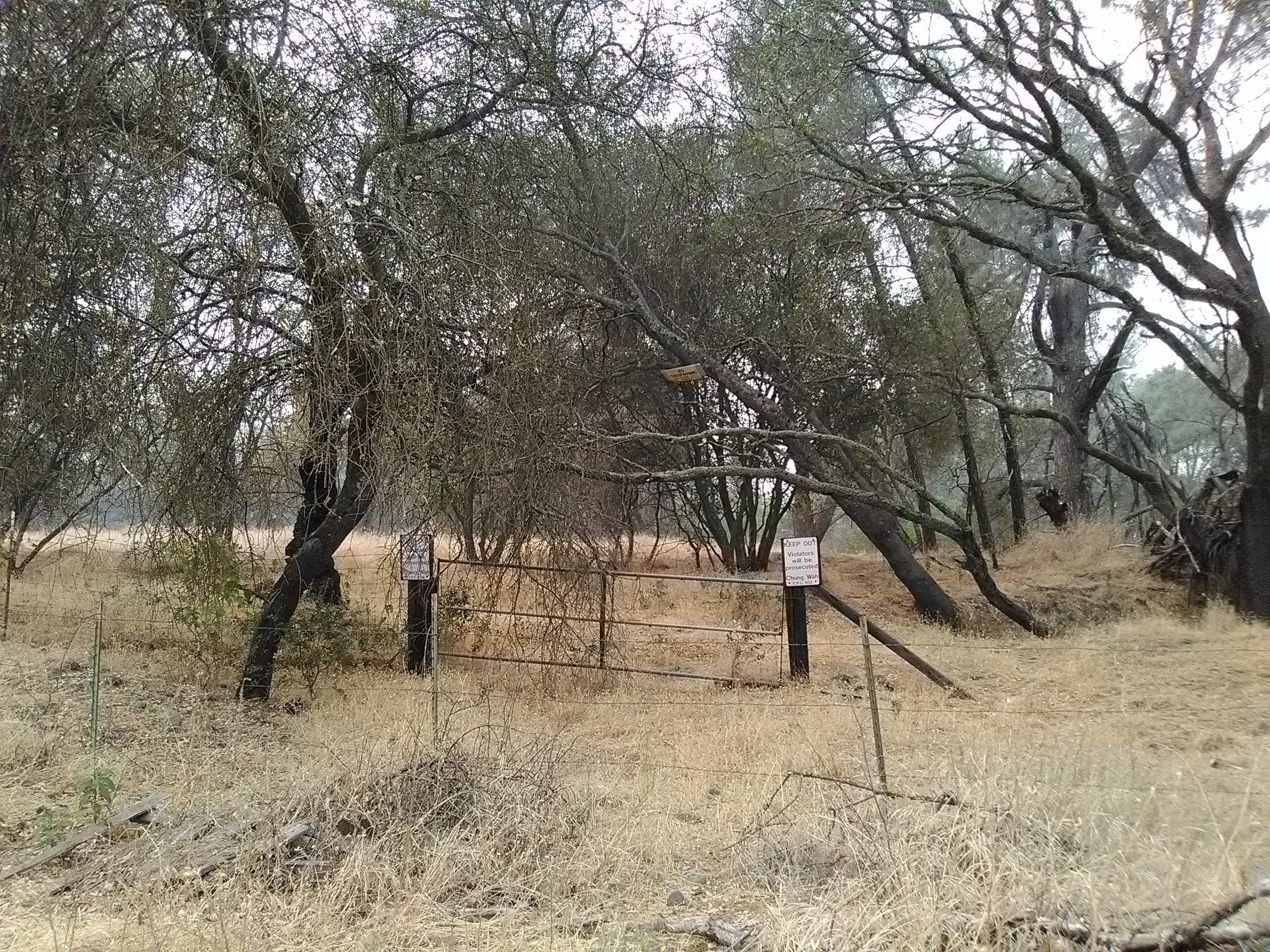
| Description | : | The China Mission-Chung Wah Chinese Cemetery was first established during the 1850s. In 1907, the Folsom Development Company sought a land exchange with the trustees of the China Mission-Chung Wah Chinese Cemetery in order to utilize the cemetery's original location for gold dredging. The company paid for the removal and relocation of all the Chinese graves in the original cemetery to a new three acre parcel of land west of and adjacent to the first site. The last remaining Chinese family in the town of Folsom with ties to the Chinese of the 19th century was the family of... Read More |
frequently asked questions (FAQ):
-
Where is China Mission-Chung Wah Chinese Cemetery?
China Mission-Chung Wah Chinese Cemetery is located at Folsom, Sacramento County ,California ,USA.
-
China Mission-Chung Wah Chinese Cemetery cemetery's updated grave count on graveviews.com?
0 memorials
-
Where are the coordinates of the China Mission-Chung Wah Chinese Cemetery?
Latitude: 38.6698410
Longitude: -121.1851790
Nearby Cemetories:
1. Lakeside Memorial Lawn Cemetery
Folsom, Sacramento County, USA
Coordinate: 38.6715300, -121.1841000
2. Young Wo Cemetery
Folsom, Sacramento County, USA
Coordinate: 38.6733400, -121.1835000
3. F.O.E. 929 Cemetery
Folsom, Sacramento County, USA
Coordinate: 38.6717010, -121.1801010
4. Saint John the Baptist Catholic Church Cemetery
Folsom, Sacramento County, USA
Coordinate: 38.6721900, -121.1803000
5. Folsom Prison Cemetery
Folsom, Sacramento County, USA
Coordinate: 38.6952860, -121.1636690
6. Mount Vernon Memorial Park
Fair Oaks, Sacramento County, USA
Coordinate: 38.6800003, -121.2566986
7. Mormon Island Relocation Cemetery
El Dorado Hills, El Dorado County, USA
Coordinate: 38.6986084, -121.1093521
8. Fair Oaks United Methodist Church Memorial Garden
Fair Oaks, Sacramento County, USA
Coordinate: 38.6396300, -121.2744600
9. Fair Oaks Cemetery
Fair Oaks, Sacramento County, USA
Coordinate: 38.6501167, -121.2792000
10. Sylvan Cemetery
Citrus Heights, Sacramento County, USA
Coordinate: 38.7001534, -121.2904587
11. Kilgore Cemetery
Rancho Cordova, Sacramento County, USA
Coordinate: 38.5978012, -121.2683029
12. Clarksville Cemetery
Clarksville, El Dorado County, USA
Coordinate: 38.6546707, -121.0615387
13. Railroad House Cemetery
Clarksville, El Dorado County, USA
Coordinate: 38.6575699, -121.0516129
14. Calvary Catholic Cemetery and Mausoleum
Sacramento, Sacramento County, USA
Coordinate: 38.6937180, -121.3233109
15. Boothill Cemetery
Roseville, Placer County, USA
Coordinate: 38.7598730, -121.2712130
16. Sierra Hills Memorial Park
Sacramento, Sacramento County, USA
Coordinate: 38.6843987, -121.3281021
17. Roseville Public Cemetery District
Roseville, Placer County, USA
Coordinate: 38.7606010, -121.2707977
18. Sierra Hills Pet Cemetery
Sacramento, Sacramento County, USA
Coordinate: 38.6863500, -121.3305300
19. Morrison Ranch Family Cemetery
Clarksville, El Dorado County, USA
Coordinate: 38.6552887, -121.0368500
20. Rocklin Cemetery
Rocklin, Placer County, USA
Coordinate: 38.7827670, -121.2337980
21. Shepherd of the Sierra Memorial Garden
Loomis, Placer County, USA
Coordinate: 38.7890800, -121.1944200
22. Carmichael Presbyterian Church Columbarium
Carmichael, Sacramento County, USA
Coordinate: 38.6179500, -121.3324500
23. Rust Family Gravesite
Cameron Park, El Dorado County, USA
Coordinate: 38.6980160, -121.0207130
24. Green Valley Cemetery
Rescue, El Dorado County, USA
Coordinate: 38.6993790, -121.0081406