
| Memorials | : | 215 |
| Location | : | Folsom, Sacramento County, USA |
| Phone | : | (916) 985-2295 |
| Coordinate | : | 38.6715300, -121.1841000 |
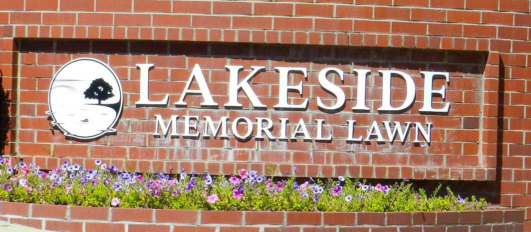
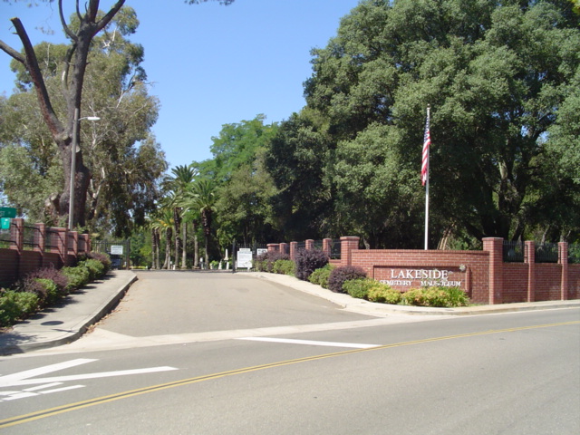
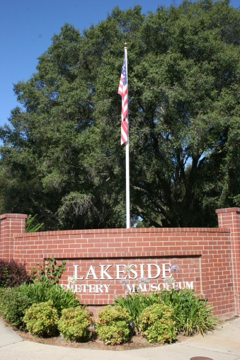
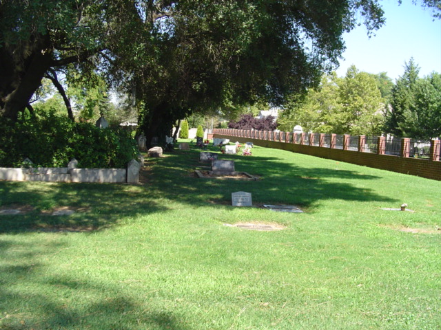
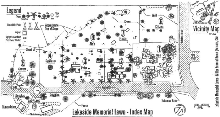
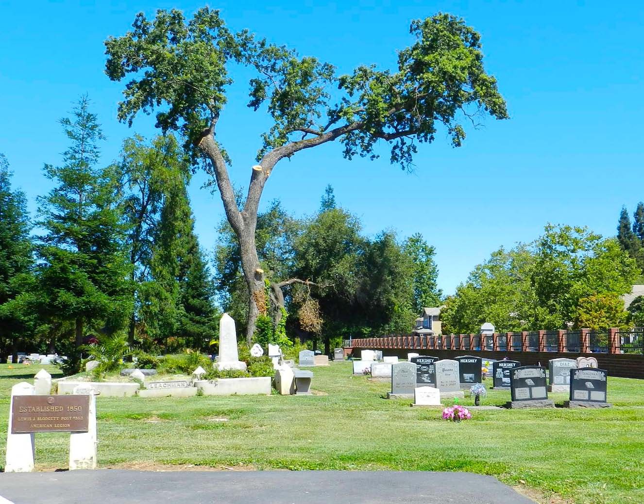
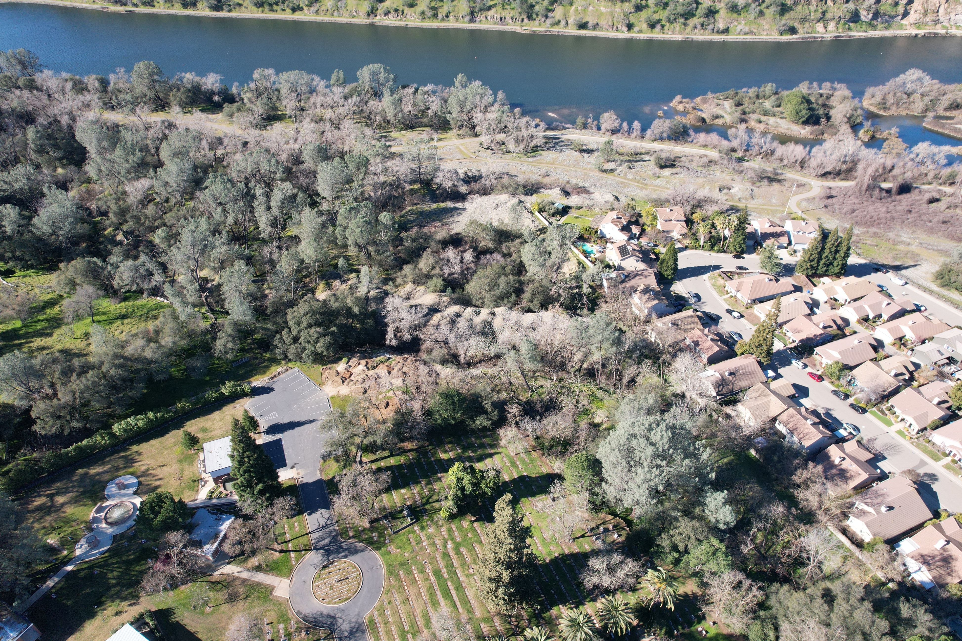
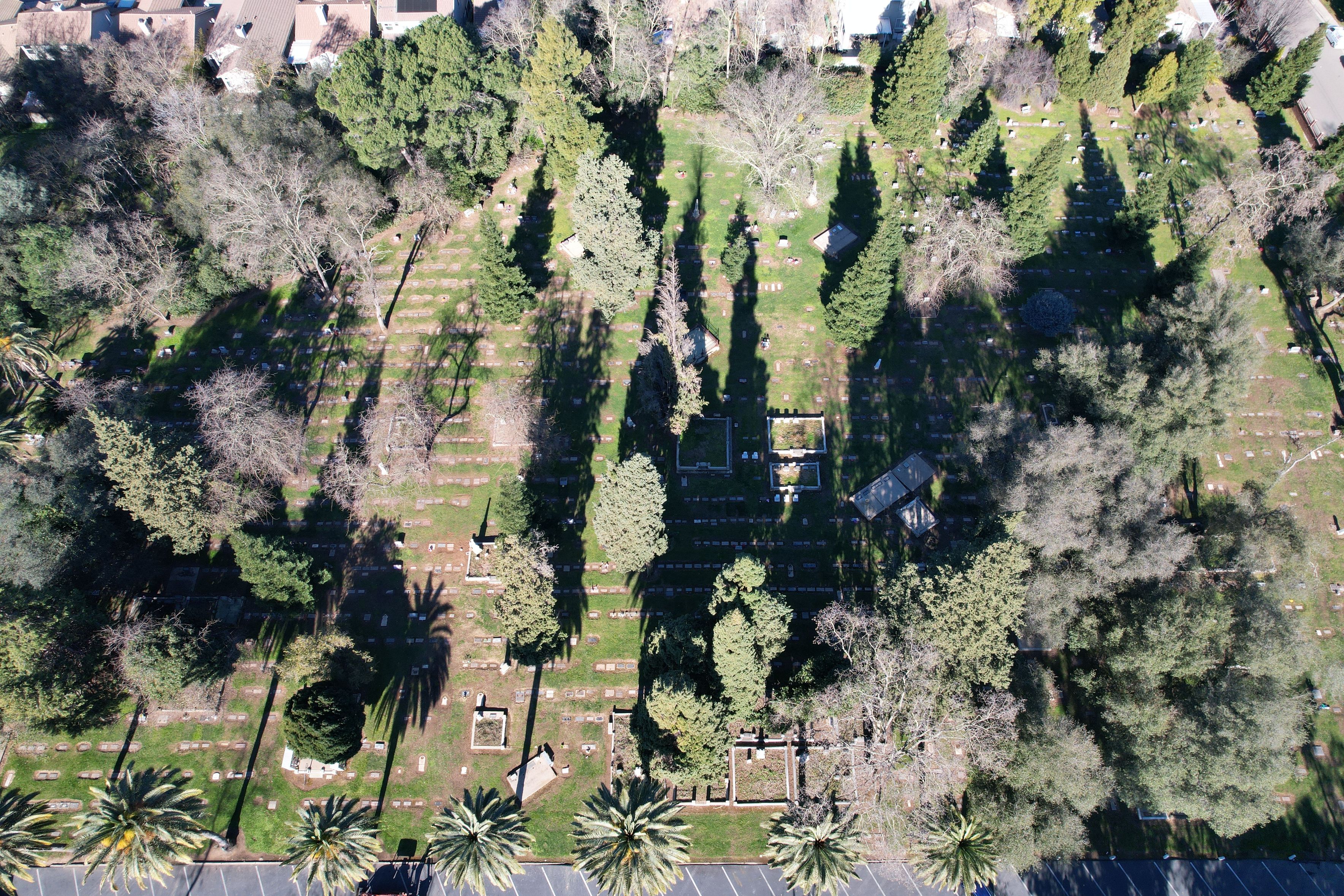
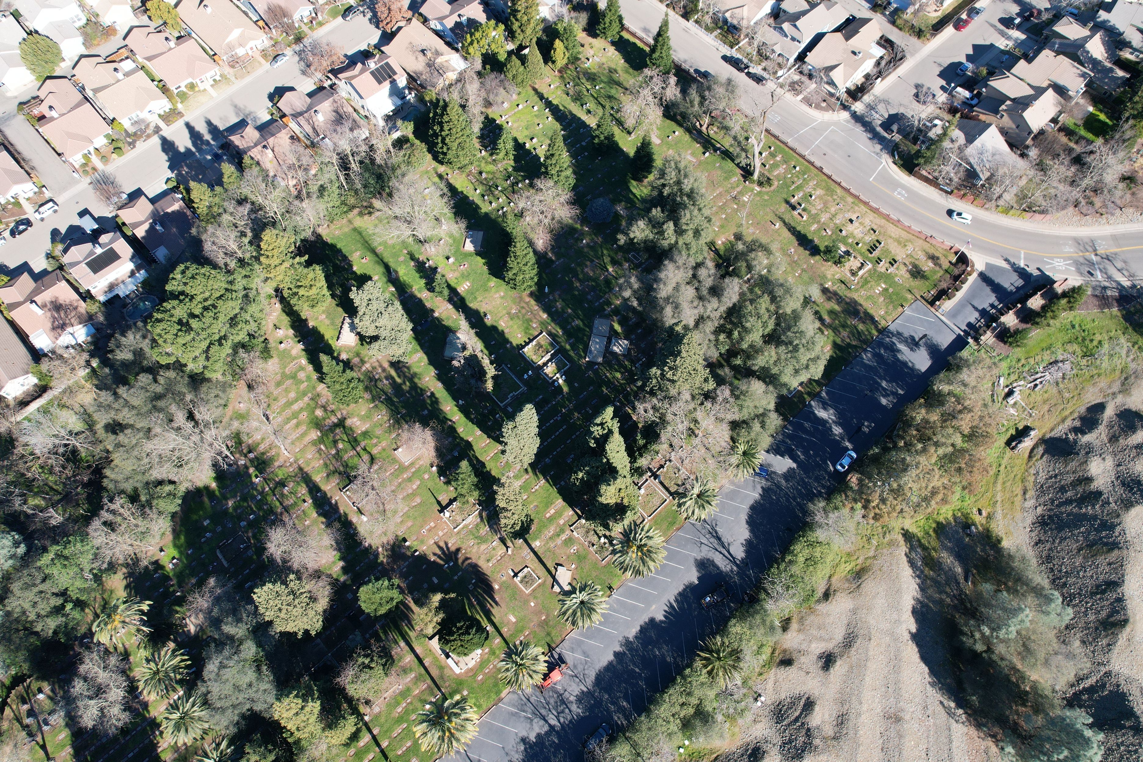
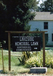
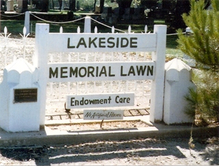
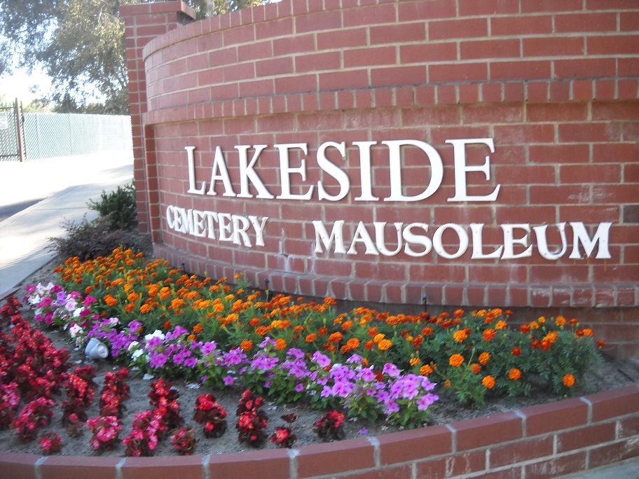
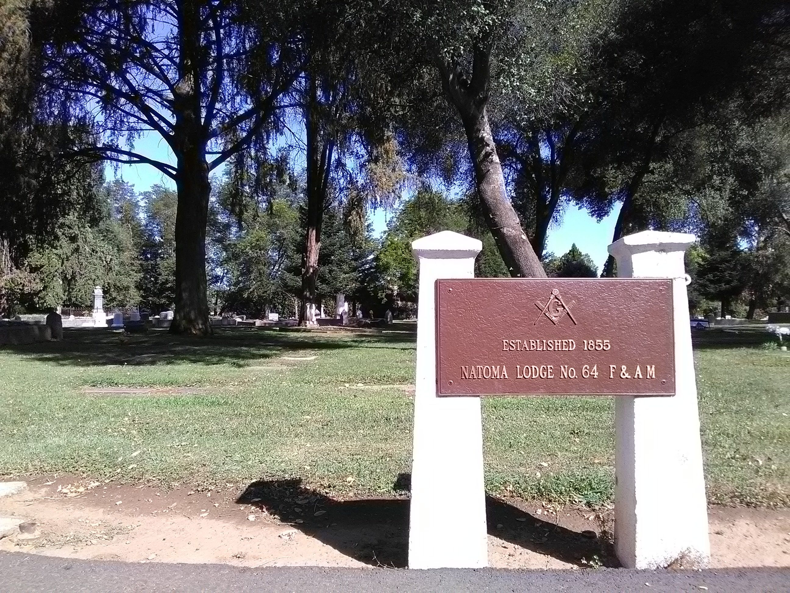
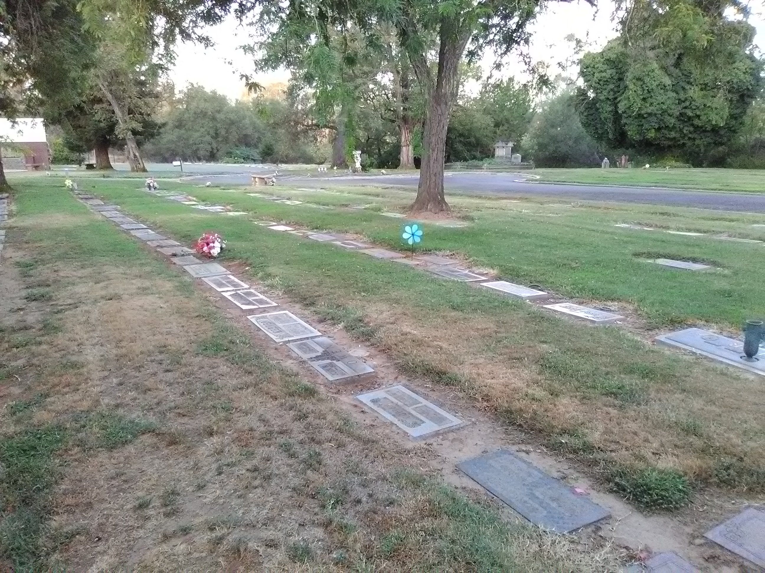
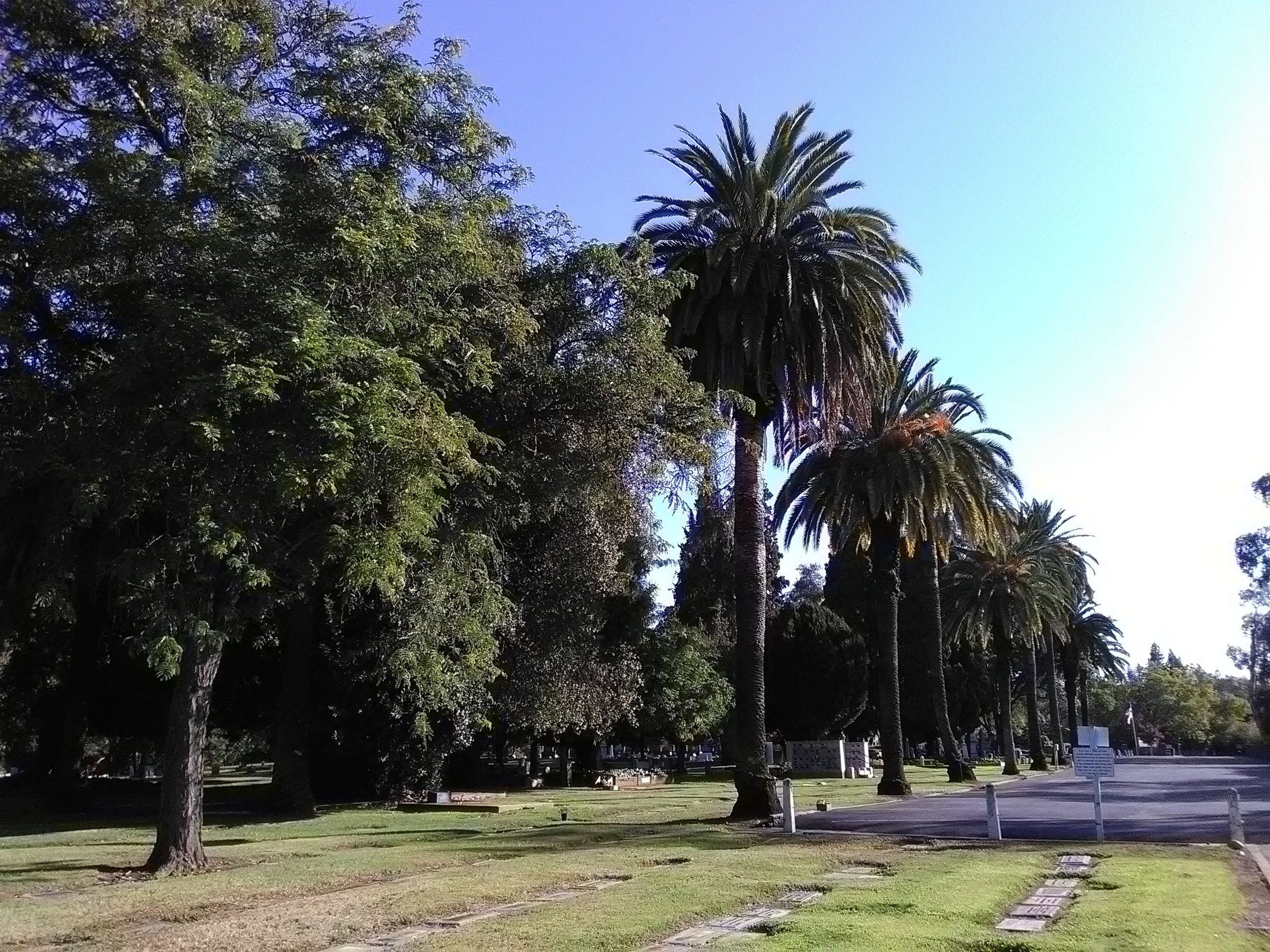
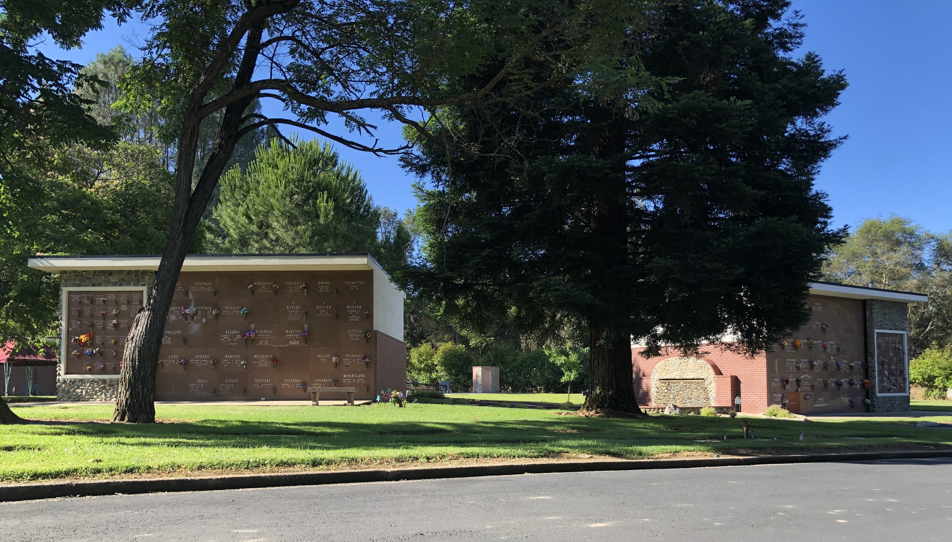
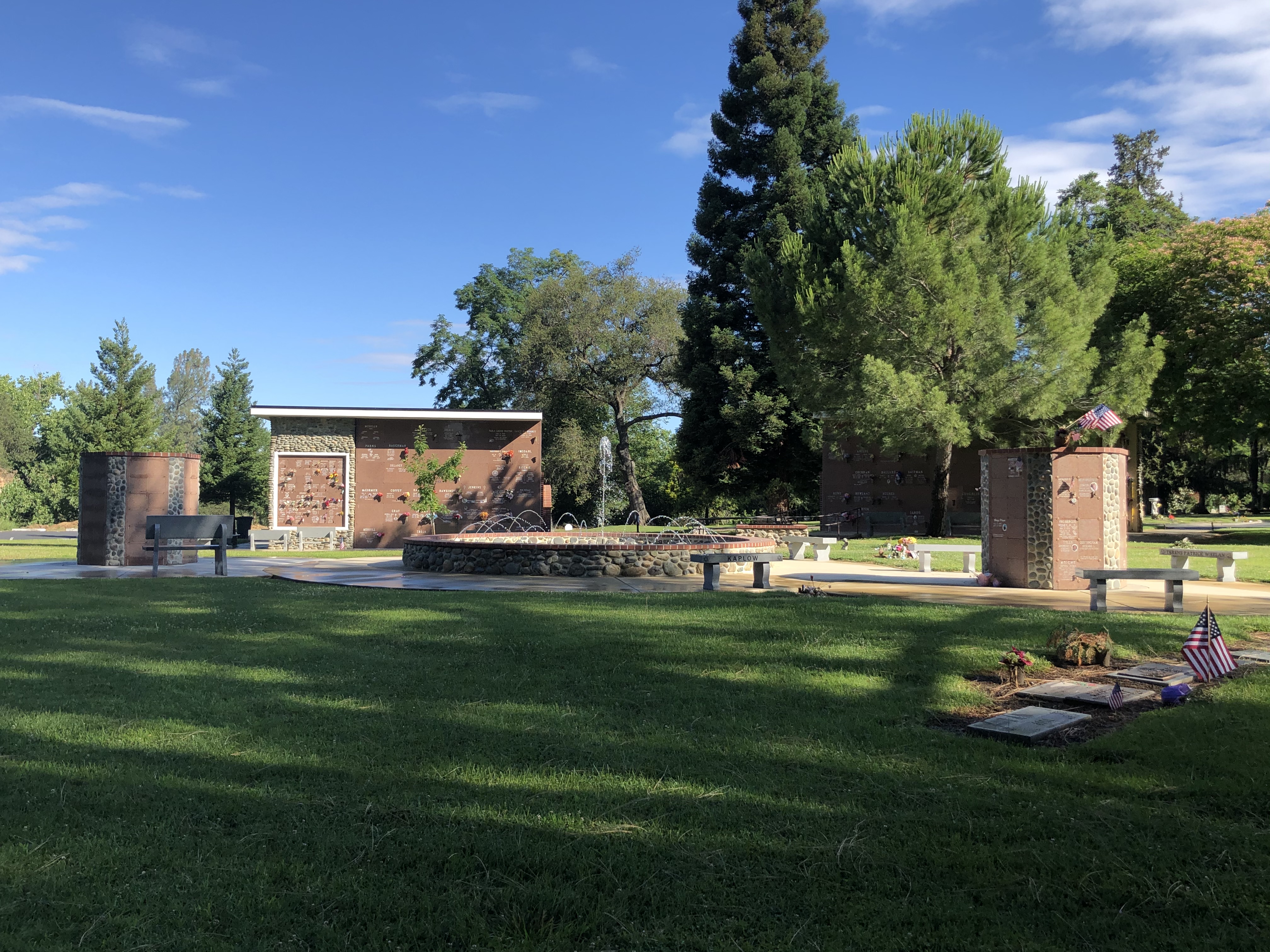
| Description | : | Lakeside Memorial Lawn Cemetery is located at 1201 Forrest Street in Folsom, California and includes five historic burial grounds. These cemeteries all flow together and it is difficult to designate where one starts and one finishes. They are: The Negro Bar Cemetery (later referred to as Citizens Cemetery); The Cook’s or American Legion Cemetery (later referred to as the Citizens Cemetery as well); The Jewish Cemetery (est about 1861); The Odd Fellows Cemetery and The Masonic Cemetery. The Negro Bar Cemetery was originally associated with the Negro Bar mining camp just up the river, which is a State Historical Site.... Read More |
frequently asked questions (FAQ):
-
Where is Lakeside Memorial Lawn Cemetery?
Lakeside Memorial Lawn Cemetery is located at 1201 Forrest Street Folsom, Sacramento County ,California , 95630USA.
-
Lakeside Memorial Lawn Cemetery cemetery's updated grave count on graveviews.com?
212 memorials
-
Where are the coordinates of the Lakeside Memorial Lawn Cemetery?
Latitude: 38.6715300
Longitude: -121.1841000
Nearby Cemetories:
1. Young Wo Cemetery
Folsom, Sacramento County, USA
Coordinate: 38.6733400, -121.1835000
2. China Mission-Chung Wah Chinese Cemetery
Folsom, Sacramento County, USA
Coordinate: 38.6698410, -121.1851790
3. Saint John the Baptist Catholic Church Cemetery
Folsom, Sacramento County, USA
Coordinate: 38.6721900, -121.1803000
4. F.O.E. 929 Cemetery
Folsom, Sacramento County, USA
Coordinate: 38.6717010, -121.1801010
5. Folsom Prison Cemetery
Folsom, Sacramento County, USA
Coordinate: 38.6952860, -121.1636690
6. Mount Vernon Memorial Park
Fair Oaks, Sacramento County, USA
Coordinate: 38.6800003, -121.2566986
7. Mormon Island Relocation Cemetery
El Dorado Hills, El Dorado County, USA
Coordinate: 38.6986084, -121.1093521
8. Fair Oaks Cemetery
Fair Oaks, Sacramento County, USA
Coordinate: 38.6501167, -121.2792000
9. Fair Oaks United Methodist Church Memorial Garden
Fair Oaks, Sacramento County, USA
Coordinate: 38.6396300, -121.2744600
10. Sylvan Cemetery
Citrus Heights, Sacramento County, USA
Coordinate: 38.7001534, -121.2904587
11. Clarksville Cemetery
Clarksville, El Dorado County, USA
Coordinate: 38.6546707, -121.0615387
12. Kilgore Cemetery
Rancho Cordova, Sacramento County, USA
Coordinate: 38.5978012, -121.2683029
13. Railroad House Cemetery
Clarksville, El Dorado County, USA
Coordinate: 38.6575699, -121.0516129
14. Calvary Catholic Cemetery and Mausoleum
Sacramento, Sacramento County, USA
Coordinate: 38.6937180, -121.3233109
15. Boothill Cemetery
Roseville, Placer County, USA
Coordinate: 38.7598730, -121.2712130
16. Roseville Public Cemetery District
Roseville, Placer County, USA
Coordinate: 38.7606010, -121.2707977
17. Sierra Hills Memorial Park
Sacramento, Sacramento County, USA
Coordinate: 38.6843987, -121.3281021
18. Sierra Hills Pet Cemetery
Sacramento, Sacramento County, USA
Coordinate: 38.6863500, -121.3305300
19. Morrison Ranch Family Cemetery
Clarksville, El Dorado County, USA
Coordinate: 38.6552887, -121.0368500
20. Rocklin Cemetery
Rocklin, Placer County, USA
Coordinate: 38.7827670, -121.2337980
21. Shepherd of the Sierra Memorial Garden
Loomis, Placer County, USA
Coordinate: 38.7890800, -121.1944200
22. Carmichael Presbyterian Church Columbarium
Carmichael, Sacramento County, USA
Coordinate: 38.6179500, -121.3324500
23. Rust Family Gravesite
Cameron Park, El Dorado County, USA
Coordinate: 38.6980160, -121.0207130
24. Green Valley Cemetery
Rescue, El Dorado County, USA
Coordinate: 38.6993790, -121.0081406