
| Memorials | : | 8 |
| Location | : | Cold Spring, Campbell County, USA |
| Coordinate | : | 39.0248800, -84.4462900 |
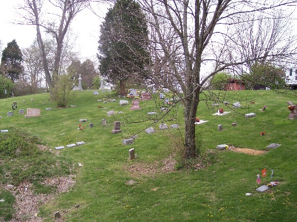
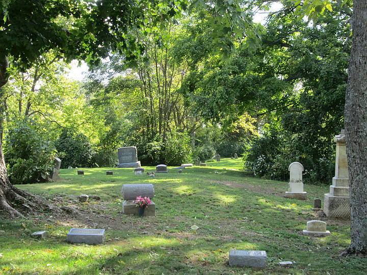
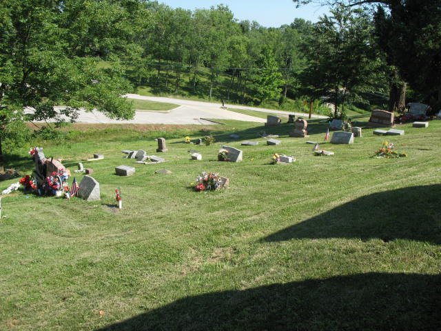
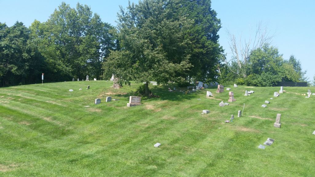
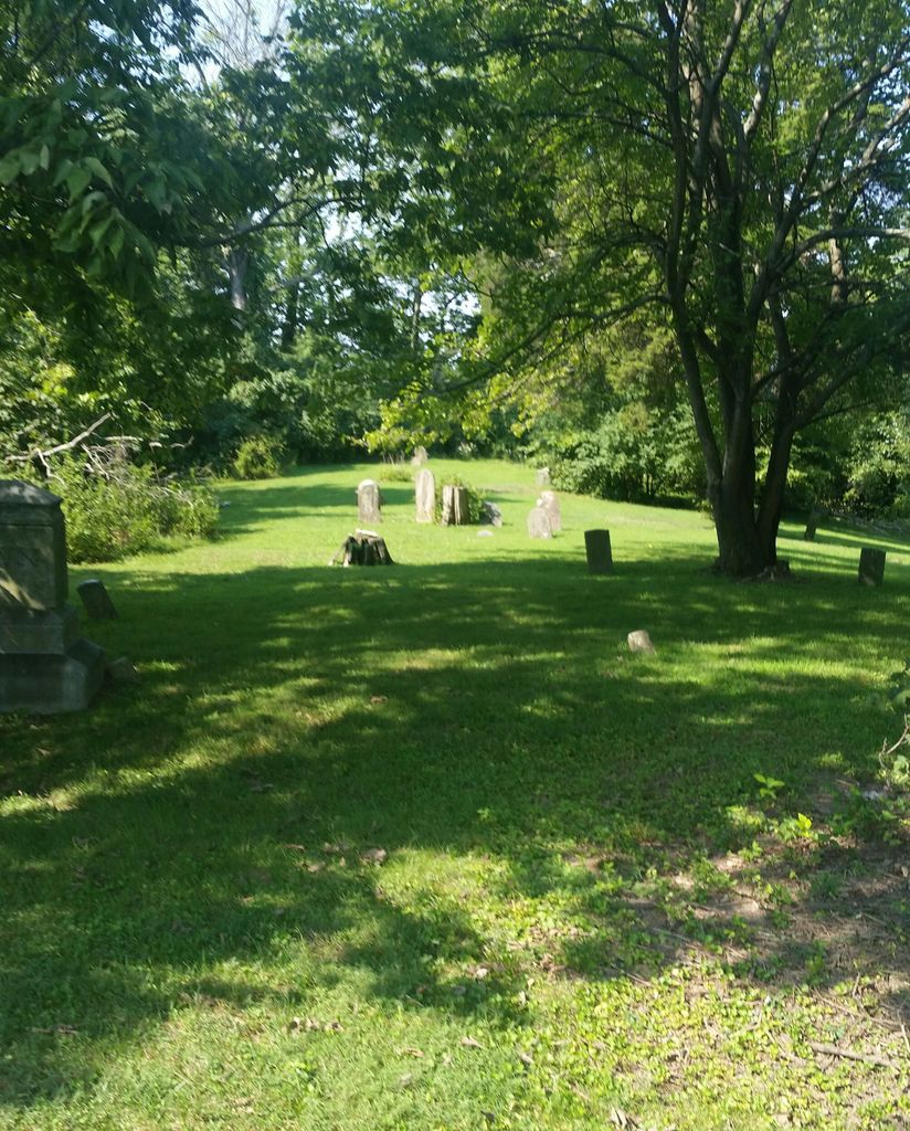
| Description | : | Graves to the far back of the cemetery are within the woods and under heavy brush. |
frequently asked questions (FAQ):
-
Where is Cold Spring First Baptist Church Cemetery?
Cold Spring First Baptist Church Cemetery is located at 3810 Alexandria Pike Cold Spring, Campbell County ,Kentucky , 41076USA.
-
Cold Spring First Baptist Church Cemetery cemetery's updated grave count on graveviews.com?
8 memorials
-
Where are the coordinates of the Cold Spring First Baptist Church Cemetery?
Latitude: 39.0248800
Longitude: -84.4462900
Nearby Cemetories:
1. Saint Joseph Cemetery
Cold Spring, Campbell County, USA
Coordinate: 39.0257700, -84.4443650
2. Potter Field Cemetery
Highland Heights, Campbell County, USA
Coordinate: 39.0252991, -84.4552994
3. Asbury Methodist Church Cemetery
Highland Heights, Campbell County, USA
Coordinate: 39.0304527, -84.4519882
4. Murnan Cemetery
Cold Spring, Campbell County, USA
Coordinate: 39.0064690, -84.4436530
5. Johns Hill Cemetery
Wilder, Campbell County, USA
Coordinate: 39.0299988, -84.4738998
6. Saint Johns Cemetery
Wilder, Campbell County, USA
Coordinate: 39.0347170, -84.4750830
7. Saint Stephen Cemetery
Fort Thomas, Campbell County, USA
Coordinate: 39.0511017, -84.4503021
8. William Culbertson Family Cemetery (Defunct)
Springlake, Kenton County, USA
Coordinate: 38.9971400, -84.4592900
9. Locust Pike Pentecostal Church Cemetery
Kenton County, USA
Coordinate: 38.9940500, -84.4630000
10. Culbertson Cemetery
Taylor Mill, Kenton County, USA
Coordinate: 38.9939390, -84.4629340
11. Saint Josephs Cemetery
Wilder, Campbell County, USA
Coordinate: 39.0469017, -84.4841995
12. Saint John German Protestant Cemetery
Wilder, Campbell County, USA
Coordinate: 39.0478440, -84.4854430
13. Webb Cemetery
Sunny Acres, Kenton County, USA
Coordinate: 39.0185470, -84.5035620
14. Evergreen Cemetery
Southgate, Campbell County, USA
Coordinate: 39.0667000, -84.4721985
15. Armstrong Cemetery #2
Ryland Heights, Kenton County, USA
Coordinate: 38.9820600, -84.4695400
16. Saint John Lutheran Church Cemetery
Camp Springs, Campbell County, USA
Coordinate: 39.0144150, -84.3826140
17. Floral Hills Memorial Gardens
Taylor Mill, Kenton County, USA
Coordinate: 38.9986000, -84.5028000
18. Stamper Family Cemetery
Grant, Kenton County, USA
Coordinate: 38.9746130, -84.4338000
19. Saint Anne Convent Cemetery
Melbourne, Campbell County, USA
Coordinate: 39.0284030, -84.3801510
20. Wolf Family Cemetery
Taylor Mill, Kenton County, USA
Coordinate: 38.9926920, -84.4980570
21. Grant Family Cemetery
Grant, Kenton County, USA
Coordinate: 38.9743710, -84.4326160
22. Tucker Family Cemetery
Melbourne, Campbell County, USA
Coordinate: 39.0157000, -84.3788010
23. Martin Family Cemetery
Taylor Mill, Kenton County, USA
Coordinate: 38.9909400, -84.4997650
24. Hillcrest Cemetery
Hamilton County, USA
Coordinate: 39.0691986, -84.4030991