
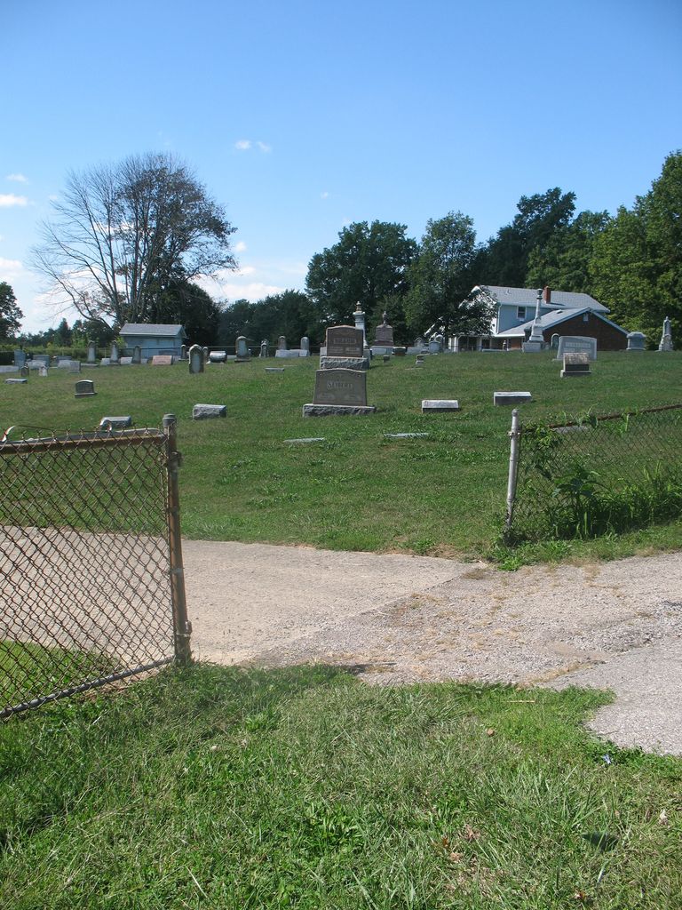
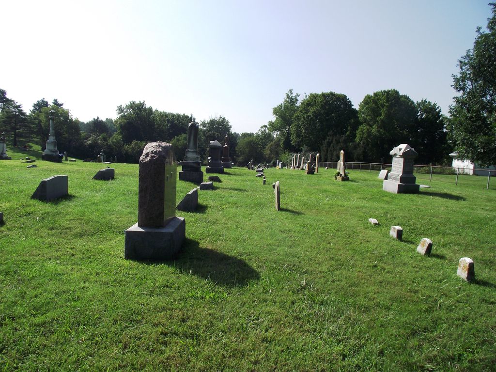
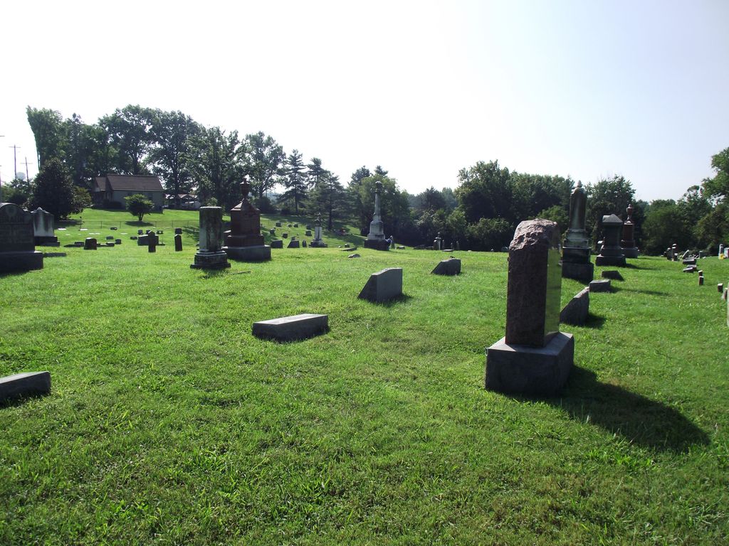
| Memorials | : | 75 |
| Location | : | Wilder, Campbell County, USA |
| Coordinate | : | 39.0299988, -84.4738998 |
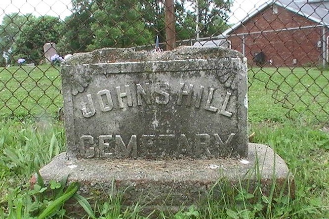
| Description | : | The U.S. Geological Survey (USGS) Geographic Names Information System (GNIS) feature ID for the cemetery is 495353 (Johns Hill Cemetery). |
frequently asked questions (FAQ):
-
Where is Johns Hill Cemetery?
Johns Hill Cemetery is located at 623 – 633 W. Johns Hill Road Wilder, Campbell County ,Kentucky , 41076USA.
-
Johns Hill Cemetery cemetery's updated grave count on graveviews.com?
73 memorials
-
Where are the coordinates of the Johns Hill Cemetery?
Latitude: 39.0299988
Longitude: -84.4738998
Nearby Cemetories:
1. Saint Johns Cemetery
Wilder, Campbell County, USA
Coordinate: 39.0347170, -84.4750830
2. Potter Field Cemetery
Highland Heights, Campbell County, USA
Coordinate: 39.0252991, -84.4552994
3. Asbury Methodist Church Cemetery
Highland Heights, Campbell County, USA
Coordinate: 39.0304527, -84.4519882
4. Saint Josephs Cemetery
Wilder, Campbell County, USA
Coordinate: 39.0469017, -84.4841995
5. Saint John German Protestant Cemetery
Wilder, Campbell County, USA
Coordinate: 39.0478440, -84.4854430
6. Cold Spring First Baptist Church Cemetery
Cold Spring, Campbell County, USA
Coordinate: 39.0248800, -84.4462900
7. Saint Joseph Cemetery
Cold Spring, Campbell County, USA
Coordinate: 39.0257700, -84.4443650
8. Webb Cemetery
Sunny Acres, Kenton County, USA
Coordinate: 39.0185470, -84.5035620
9. Saint Stephen Cemetery
Fort Thomas, Campbell County, USA
Coordinate: 39.0511017, -84.4503021
10. Murnan Cemetery
Cold Spring, Campbell County, USA
Coordinate: 39.0064690, -84.4436530
11. William Culbertson Family Cemetery (Defunct)
Springlake, Kenton County, USA
Coordinate: 38.9971400, -84.4592900
12. Evergreen Cemetery
Southgate, Campbell County, USA
Coordinate: 39.0667000, -84.4721985
13. Locust Pike Pentecostal Church Cemetery
Kenton County, USA
Coordinate: 38.9940500, -84.4630000
14. Culbertson Cemetery
Taylor Mill, Kenton County, USA
Coordinate: 38.9939390, -84.4629340
15. Buena Vista Cemetery
Covington, Kenton County, USA
Coordinate: 39.0595200, -84.5040000
16. Mother Of God Cemetery
Kenton Vale, Kenton County, USA
Coordinate: 39.0480995, -84.5171967
17. Floral Hills Memorial Gardens
Taylor Mill, Kenton County, USA
Coordinate: 38.9986000, -84.5028000
18. Wolf Family Cemetery
Taylor Mill, Kenton County, USA
Coordinate: 38.9926920, -84.4980570
19. Martin Family Cemetery
Taylor Mill, Kenton County, USA
Coordinate: 38.9909400, -84.4997650
20. Cox Cemetery
Taylor Mill, Kenton County, USA
Coordinate: 39.0005560, -84.5166670
21. Woodsdale Cemetery
Taylor Mill, Kenton County, USA
Coordinate: 38.9898900, -84.5064530
22. Armstrong Cemetery #2
Ryland Heights, Kenton County, USA
Coordinate: 38.9820600, -84.4695400
23. William Richardson Cemetery
Taylor Mill, Kenton County, USA
Coordinate: 38.9905560, -84.5094440
24. Holy Guardian Angels Cemetery
Edgewood, Kenton County, USA
Coordinate: 39.0269444, -84.5358330