
| Memorials | : | 0 |
| Location | : | Kenton County, USA |
| Coordinate | : | 38.9940500, -84.4630000 |
frequently asked questions (FAQ):
-
Where is Locust Pike Pentecostal Church Cemetery?
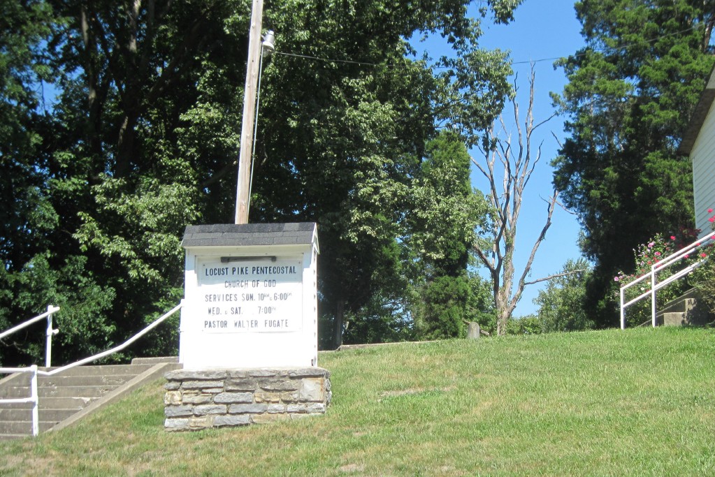
Locust Pike Pentecostal Church Cemetery is located at Kenton County ,Kentucky ,USA.
-
Locust Pike Pentecostal Church Cemetery cemetery's updated grave count on graveviews.com?
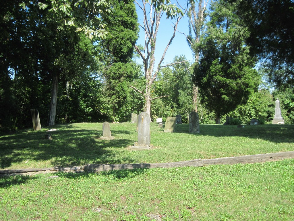
0 memorials
-
Where are the coordinates of the Locust Pike Pentecostal Church Cemetery?
Latitude: 38.9940500
Longitude: -84.4630000
Nearby Cemetories:
1. Culbertson Cemetery
Taylor Mill, Kenton County, USA
Coordinate: 38.9939390, -84.4629340
2. William Culbertson Family Cemetery (Defunct)
Springlake, Kenton County, USA
Coordinate: 38.9971400, -84.4592900
3. Armstrong Cemetery #2
Ryland Heights, Kenton County, USA
Coordinate: 38.9820600, -84.4695400
4. Murnan Cemetery
Cold Spring, Campbell County, USA
Coordinate: 39.0064690, -84.4436530
5. Wolf Family Cemetery
Taylor Mill, Kenton County, USA
Coordinate: 38.9926920, -84.4980570
6. Martin Family Cemetery
Taylor Mill, Kenton County, USA
Coordinate: 38.9909400, -84.4997650
7. George W Perry Cemetery
Latonia Lakes, Kenton County, USA
Coordinate: 38.9728800, -84.4883400
8. Stamper Family Cemetery
Grant, Kenton County, USA
Coordinate: 38.9746130, -84.4338000
9. Grant Family Cemetery
Grant, Kenton County, USA
Coordinate: 38.9743710, -84.4326160
10. White Cemetery
Ryland Heights, Kenton County, USA
Coordinate: 38.9628600, -84.4642900
11. Floral Hills Memorial Gardens
Taylor Mill, Kenton County, USA
Coordinate: 38.9986000, -84.5028000
12. White Cemetery
Ryland Heights, Kenton County, USA
Coordinate: 38.9625000, -84.4583330
13. Potter Field Cemetery
Highland Heights, Campbell County, USA
Coordinate: 39.0252991, -84.4552994
14. Lipscomb-Richardson Cemetery
Latonia Lakes, Kenton County, USA
Coordinate: 38.9736100, -84.4958300
15. Cold Spring First Baptist Church Cemetery
Cold Spring, Campbell County, USA
Coordinate: 39.0248800, -84.4462900
16. Woodsdale Cemetery
Taylor Mill, Kenton County, USA
Coordinate: 38.9898900, -84.5064530
17. Saint Joseph Cemetery
Cold Spring, Campbell County, USA
Coordinate: 39.0257700, -84.4443650
18. William Mardis Family Cemetery
Independence, Kenton County, USA
Coordinate: 38.9613800, -84.4800100
19. William Richardson Cemetery
Taylor Mill, Kenton County, USA
Coordinate: 38.9905560, -84.5094440
20. Richard Richardson Cemetery
Latonia Lakes, Kenton County, USA
Coordinate: 38.9741670, -84.5027780
21. Johns Hill Cemetery
Wilder, Campbell County, USA
Coordinate: 39.0299988, -84.4738998
22. Asbury Methodist Church Cemetery
Highland Heights, Campbell County, USA
Coordinate: 39.0304527, -84.4519882
23. Oak Ridge Church Cemetery
Latonia Lakes, Kenton County, USA
Coordinate: 38.9691460, -84.5024180
24. Lighthouse Memorial Gardens
Covington, Kenton County, USA
Coordinate: 38.9689350, -84.5025500