
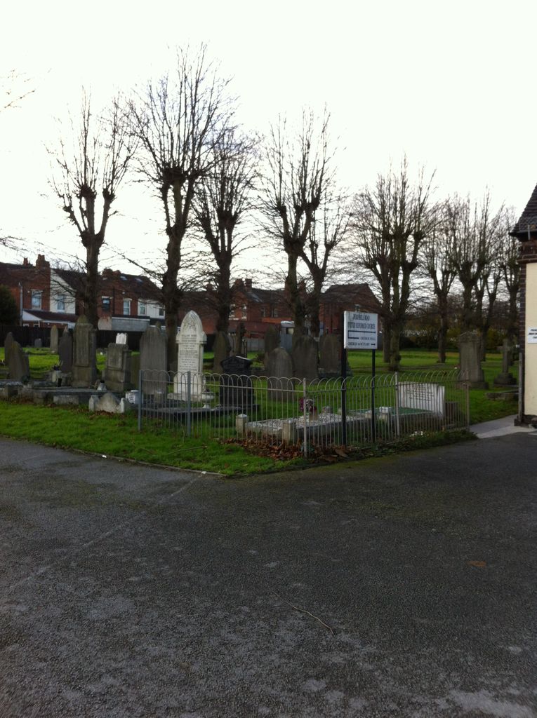
| Memorials | : | 0 |
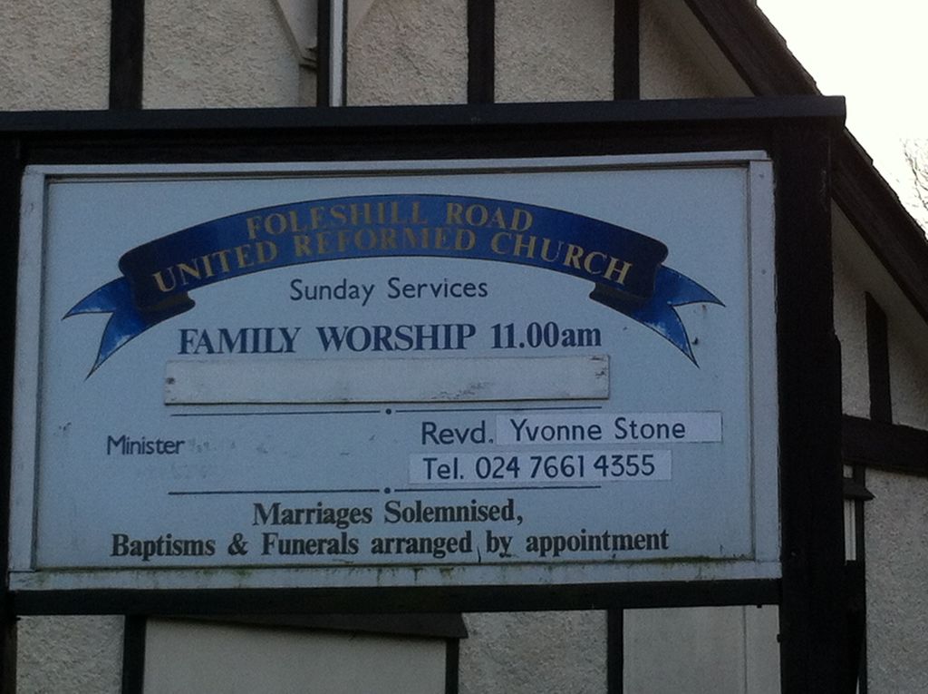
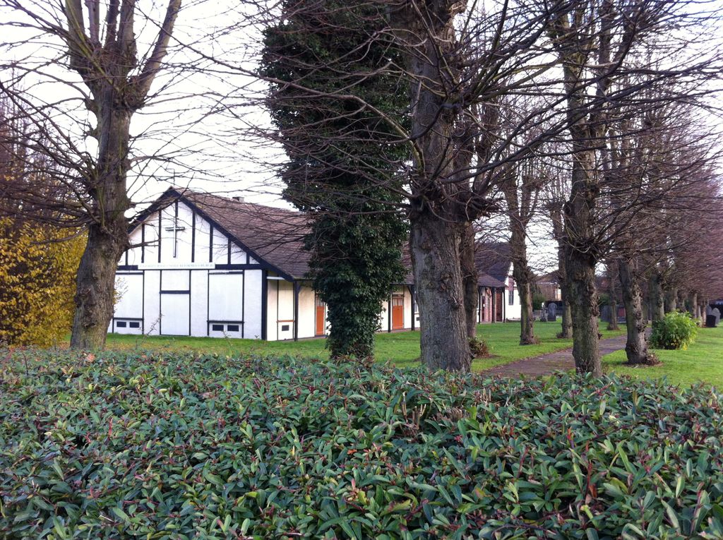
| Location | : | Foleshill, Metropolitan Borough of Coventry, England |
| Coordinate | : | 52.4373320, -1.4919190 |
frequently asked questions (FAQ):
-
Where is Foleshill Road United Reformed Churchyard?
Foleshill Road United Reformed Churchyard is located at 397 Old Church Rd Foleshill, Metropolitan Borough of Coventry ,West Midlands , CV6 7DTEngland.
-
Foleshill Road United Reformed Churchyard cemetery's updated grave count on graveviews.com?
0 memorials
-
Where are the coordinates of the Foleshill Road United Reformed Churchyard?
Latitude: 52.4373320
Longitude: -1.4919190
Nearby Cemetories:
1. St. Paul's Cemetery
Coventry, Metropolitan Borough of Coventry, England
Coordinate: 52.4383200, -1.5047500
2. St Mary Magdalen
Coventry, Metropolitan Borough of Coventry, England
Coordinate: 52.4236750, -1.4621960
3. St Mary Magdalene Wyken
Coventry, Metropolitan Borough of Coventry, England
Coordinate: 52.4236580, -1.4620770
4. St Giles Churchyard
Exhall, Nuneaton and Bedworth Borough, England
Coordinate: 52.4623930, -1.5003010
5. Walsgrave-on Sowe Cemetery
Walsgrave on Sowe, Metropolitan Borough of Coventry, England
Coordinate: 52.4420000, -1.4498100
6. St. Thomas Churchyard
Keresley, Metropolitan Borough of Coventry, England
Coordinate: 52.4395700, -1.5358000
7. St Michael Churchyard
Coventry, Metropolitan Borough of Coventry, England
Coordinate: 52.4115820, -1.4747430
8. Lentons Lane Cemetery
Coventry, Metropolitan Borough of Coventry, England
Coordinate: 52.4476000, -1.4469500
9. Saint Mary's Priory and Cathedral Coventry
Coventry, Metropolitan Borough of Coventry, England
Coordinate: 52.4089000, -1.5085000
10. Coventry Cathedral
Coventry, Metropolitan Borough of Coventry, England
Coordinate: 52.4083290, -1.5067360
11. Holy Trinity Churchyard
Coventry, Metropolitan Borough of Coventry, England
Coordinate: 52.4085450, -1.5093060
12. St Michael's Cathedral
Coventry, Metropolitan Borough of Coventry, England
Coordinate: 52.4080000, -1.5071840
13. White Friars
Coventry, Metropolitan Borough of Coventry, England
Coordinate: 52.4050100, -1.5014800
14. Greyfriars Coventry
Coventry, Metropolitan Borough of Coventry, England
Coordinate: 52.4059400, -1.5114400
15. St Mary Magdalen
Chapelfields, Metropolitan Borough of Coventry, England
Coordinate: 52.4078970, -1.5316060
16. London Road Cemetery
Coventry, Metropolitan Borough of Coventry, England
Coordinate: 52.3975420, -1.4966730
17. Barnacle Chapel Churchyard
Rugby Borough, England
Coordinate: 52.4590430, -1.4350380
18. Coventry Road Cemetery
Bedworth, Nuneaton and Bedworth Borough, England
Coordinate: 52.4775590, -1.4734910
19. All Saints Churchyard
Allesley, Metropolitan Borough of Coventry, England
Coordinate: 52.4230817, -1.5563453
20. All Saints Churchyard
Bedworth, Nuneaton and Bedworth Borough, England
Coordinate: 52.4790300, -1.4724590
21. St Bartholomew Churchyard
Binley, Metropolitan Borough of Coventry, England
Coordinate: 52.4031820, -1.4468110
22. Old Meeting House URC Burial Ground
Bedworth, Nuneaton and Bedworth Borough, England
Coordinate: 52.4815660, -1.4714170
23. Corley Parish Churchyard
Corley, North Warwickshire Borough, England
Coordinate: 52.4632100, -1.5577050
24. Saint James Parish Churchyard
Ansty, Rugby Borough, England
Coordinate: 52.4498190, -1.4132490