
| Memorials | : | 24 |
| Location | : | Decatur County, USA |
| Coordinate | : | 35.8299300, -88.0791600 |
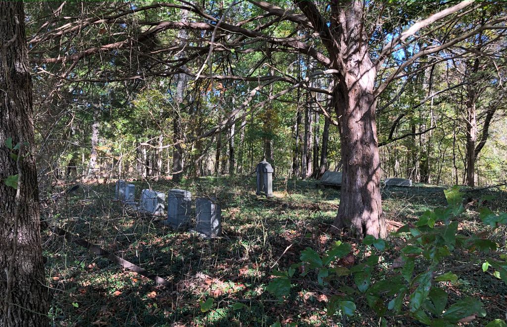
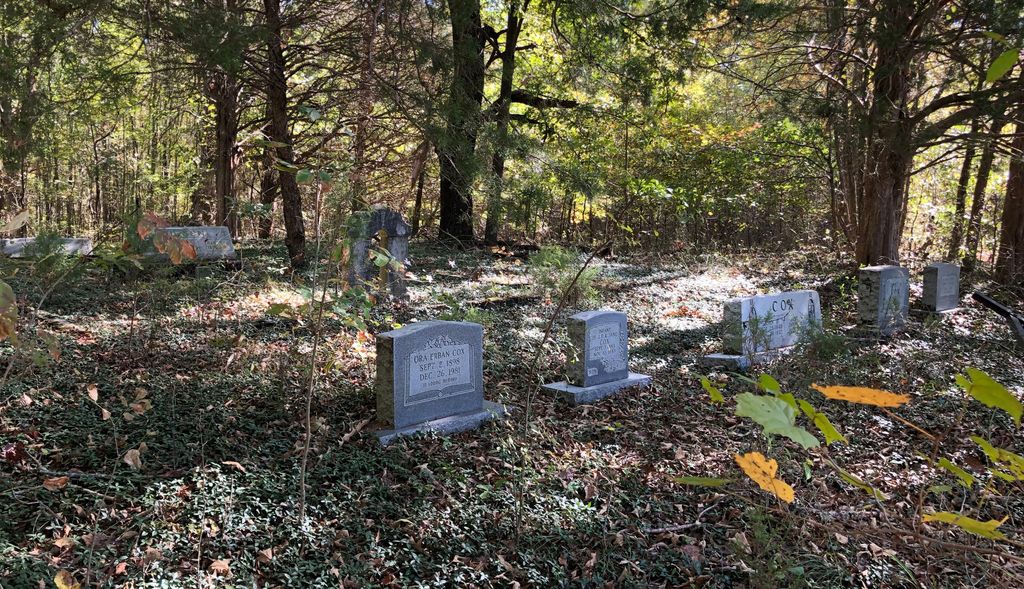
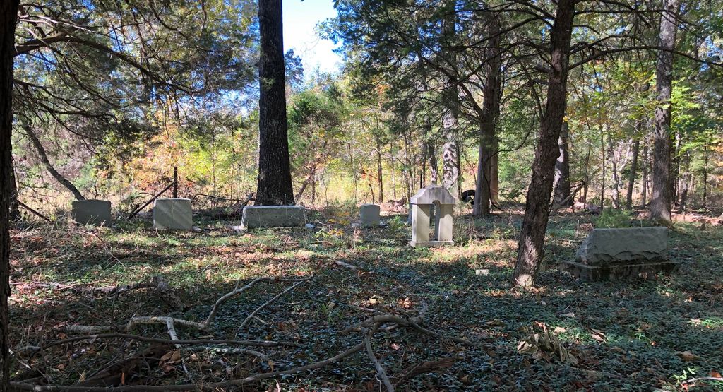
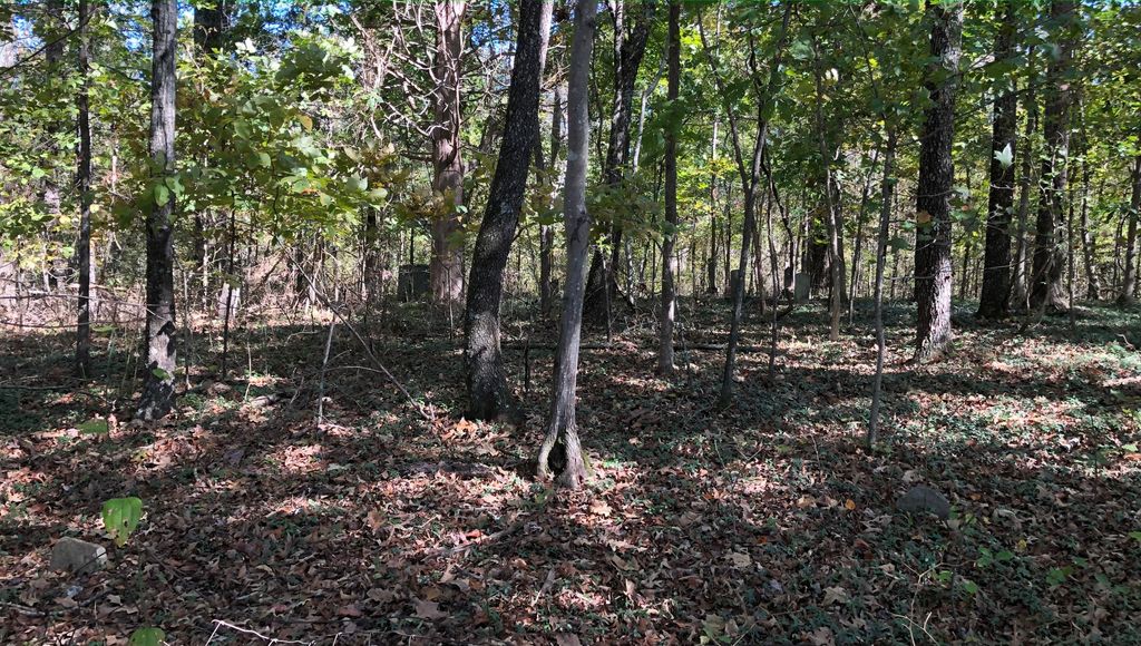
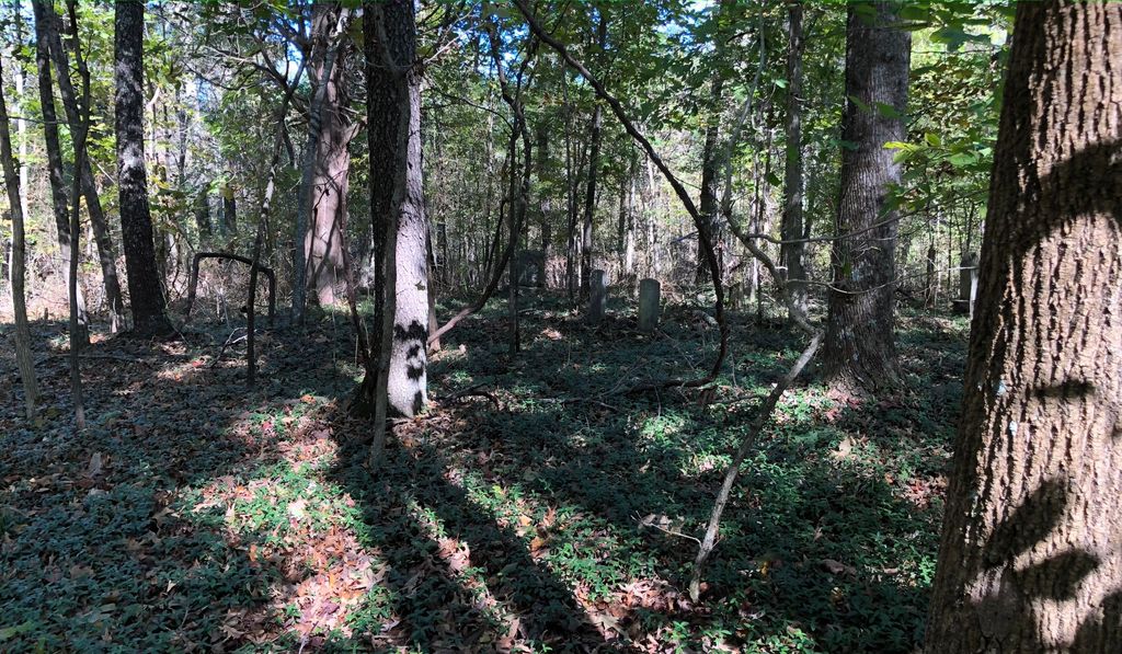
| Description | : | This cemetery is located in north Decatur County, Tennessee, just southeast of the I40 and Hwy 641 junction. From Hwy 641, turn east on McIllwain Road, then south on Duck Road, then turn right onto a farm road. The cemetery is located several yards down that farm road on the right hand side, somewhat hidden by trees and the undergrowth. The cemetery is in two parts. The southern section serves as a family cemetery for the Cox and Wilson families, and had become somewhat overgrown by 2019. Just to the north is a very old cemetery that was nearly lost... Read More |
frequently asked questions (FAQ):
-
Where is Cox-Wilson Cemetery?
Cox-Wilson Cemetery is located at Decatur County ,Tennessee ,USA.
-
Cox-Wilson Cemetery cemetery's updated grave count on graveviews.com?
24 memorials
-
Where are the coordinates of the Cox-Wilson Cemetery?
Latitude: 35.8299300
Longitude: -88.0791600
Nearby Cemetories:
1. Spence Cemetery
Yellow Springs, Decatur County, USA
Coordinate: 35.8249340, -88.0892620
2. Flatwoods Baptist Cemetery
Benton County, USA
Coordinate: 35.8486450, -88.0877350
3. Thornton Cemetery
Holladay, Benton County, USA
Coordinate: 35.8634810, -88.0791180
4. McIllwain Cemetery
McIllwain, Benton County, USA
Coordinate: 35.8634900, -88.0819700
5. Wesson Cemetery
Decatur County, USA
Coordinate: 35.8325005, -88.0357971
6. Yellow Springs Church Cemetery
Yellow Springs, Decatur County, USA
Coordinate: 35.8115110, -88.1233210
7. Friendship Church Cemetery
McIllwain, Benton County, USA
Coordinate: 35.8682710, -88.0551560
8. Manley Chapel Cemetery
McIllwain, Benton County, USA
Coordinate: 35.8690750, -88.0543250
9. Moore's Chapel Cemetery
McIllwain, Benton County, USA
Coordinate: 35.8690750, -88.0543250
10. Bawcum Cemetery
Akins Chapel, Decatur County, USA
Coordinate: 35.7823020, -88.0856120
11. Morgan Creek Primitive Baptist Cemetery
Holladay, Benton County, USA
Coordinate: 35.8409840, -88.0211680
12. Smith Cemetery
Yellow Springs, Decatur County, USA
Coordinate: 35.8425780, -88.1406500
13. Mathews Cemetery
Chaseville, Benton County, USA
Coordinate: 35.8783000, -88.1178750
14. Ezekiel Tippitt Cemetery
Holladay, Benton County, USA
Coordinate: 35.8875750, -88.0739270
15. Tippitt Cemetery
Benton County, USA
Coordinate: 35.8877983, -88.0736008
16. Cox Family Cemetery
Holladay, Benton County, USA
Coordinate: 35.8888100, -88.0700310
17. Caney Fork Cemetery
Benton County, USA
Coordinate: 35.8885994, -88.0919037
18. Bawcum Cemetery
Cozette, Decatur County, USA
Coordinate: 35.7696770, -88.0826580
19. Hartley Cemetery
Sugar Tree, Decatur County, USA
Coordinate: 35.7896470, -88.0195500
20. Bradley Cemetery
Benton County, USA
Coordinate: 35.8332470, -87.9994860
21. Holladay Community Cemetery
Holladay, Benton County, USA
Coordinate: 35.8688950, -88.1513880
22. Flowers Family Cemetery
Holladay, Benton County, USA
Coordinate: 35.8689100, -88.1517430
23. Oak Grove Church Cemetery
Sugar Tree, Decatur County, USA
Coordinate: 35.7592360, -88.0661490
24. Haynes Cemetery
Sugar Tree, Decatur County, USA
Coordinate: 35.7670210, -88.0320540