
| Memorials | : | 9 |
| Location | : | Yellow Springs, Decatur County, USA |
| Coordinate | : | 35.8249340, -88.0892620 |
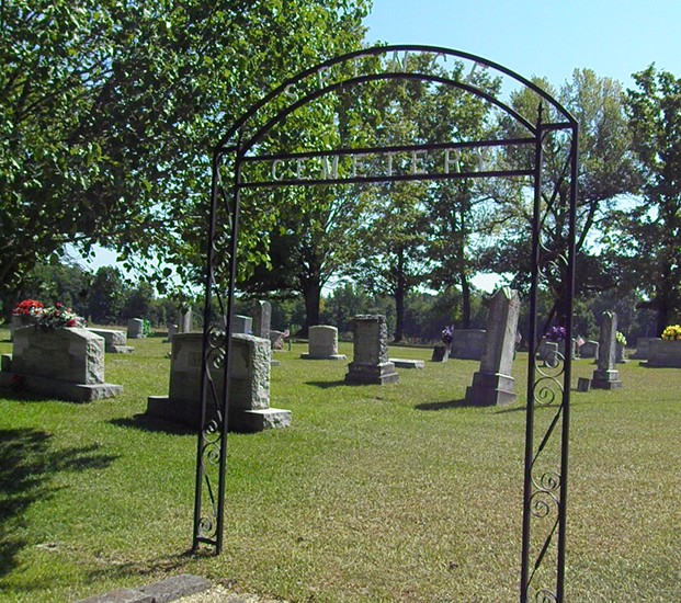
| Description | : | This is a well-maintained cemetery on Spence Store Road in northern Decatur County. The cemetery is indicated on the U.S.G.S. Sugar Tree quadrangle (1986) as an unnamed cemetery immediately west of State Highway 69, about a mile south of the interchange of TN-69/US-641 and I-40. There are 10 fieldstone-marked graves and about 10 unmarked graves. David Donahue recorded this cemetery in 1997; checked and updated it in 2002; and updated it in 2003. Alexander and Tuten recorded this cemetery in 1978. |
frequently asked questions (FAQ):
-
Where is Spence Cemetery?
Spence Cemetery is located at Spence Store Loop Yellow Springs, Decatur County ,Tennessee , 38341USA.
-
Spence Cemetery cemetery's updated grave count on graveviews.com?
9 memorials
-
Where are the coordinates of the Spence Cemetery?
Latitude: 35.8249340
Longitude: -88.0892620
Nearby Cemetories:
1. Cox-Wilson Cemetery
Decatur County, USA
Coordinate: 35.8299300, -88.0791600
2. Flatwoods Baptist Cemetery
Benton County, USA
Coordinate: 35.8486450, -88.0877350
3. Yellow Springs Church Cemetery
Yellow Springs, Decatur County, USA
Coordinate: 35.8115110, -88.1233210
4. McIllwain Cemetery
McIllwain, Benton County, USA
Coordinate: 35.8634900, -88.0819700
5. Thornton Cemetery
Holladay, Benton County, USA
Coordinate: 35.8634810, -88.0791180
6. Bawcum Cemetery
Akins Chapel, Decatur County, USA
Coordinate: 35.7823020, -88.0856120
7. Wesson Cemetery
Decatur County, USA
Coordinate: 35.8325005, -88.0357971
8. Smith Cemetery
Yellow Springs, Decatur County, USA
Coordinate: 35.8425780, -88.1406500
9. Friendship Church Cemetery
McIllwain, Benton County, USA
Coordinate: 35.8682710, -88.0551560
10. Manley Chapel Cemetery
McIllwain, Benton County, USA
Coordinate: 35.8690750, -88.0543250
11. Moore's Chapel Cemetery
McIllwain, Benton County, USA
Coordinate: 35.8690750, -88.0543250
12. Bawcum Cemetery
Cozette, Decatur County, USA
Coordinate: 35.7696770, -88.0826580
13. Morgan Creek Primitive Baptist Cemetery
Holladay, Benton County, USA
Coordinate: 35.8409840, -88.0211680
14. Mathews Cemetery
Chaseville, Benton County, USA
Coordinate: 35.8783000, -88.1178750
15. Caney Fork Cemetery
Benton County, USA
Coordinate: 35.8885994, -88.0919037
16. Ezekiel Tippitt Cemetery
Holladay, Benton County, USA
Coordinate: 35.8875750, -88.0739270
17. Tippitt Cemetery
Benton County, USA
Coordinate: 35.8877983, -88.0736008
18. Cox Family Cemetery
Holladay, Benton County, USA
Coordinate: 35.8888100, -88.0700310
19. Hartley Cemetery
Sugar Tree, Decatur County, USA
Coordinate: 35.7896470, -88.0195500
20. Holladay Community Cemetery
Holladay, Benton County, USA
Coordinate: 35.8688950, -88.1513880
21. Flowers Family Cemetery
Holladay, Benton County, USA
Coordinate: 35.8689100, -88.1517430
22. Oak Grove Church Cemetery
Sugar Tree, Decatur County, USA
Coordinate: 35.7592360, -88.0661490
23. Suttles Chapel Cemetery
Parsons, Decatur County, USA
Coordinate: 35.7562710, -88.1063310
24. Baber Cemetery
Benton County, USA
Coordinate: 35.8541985, -88.1707993