
| Memorials | : | 112 |
| Location | : | McIllwain, Benton County, USA |
| Coordinate | : | 35.8690750, -88.0543250 |
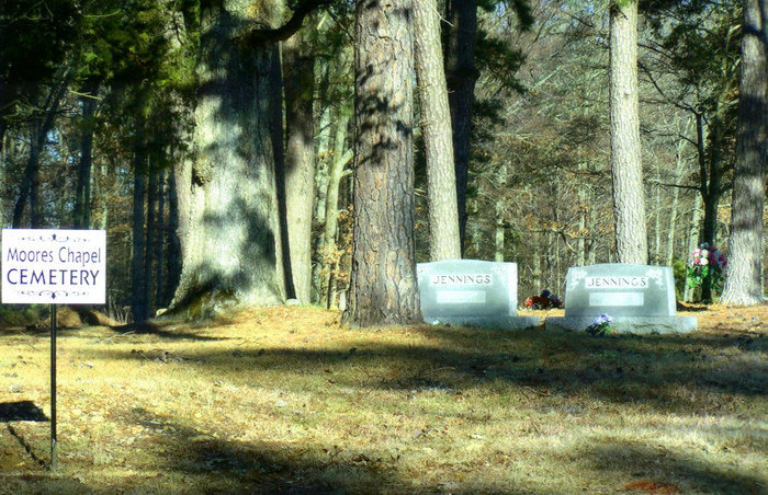
| Description | : | African American Cemetery. This cemetery is located about two miles east of McIllwain and 1/4 mile south of the intersection of Pauline Rd and Manley's Chapel Rd. It is on the east side of the road where the old church building stood. This cemetery has many unidentified graves (over 100) and a number of funeral home markers that are illegible and many field stone markers. It is still active. |
frequently asked questions (FAQ):
-
Where is Moore's Chapel Cemetery?
Moore's Chapel Cemetery is located at 1358 Manleys Chapel Road McIllwain, Benton County ,Tennessee , 38341USA.
-
Moore's Chapel Cemetery cemetery's updated grave count on graveviews.com?
112 memorials
-
Where are the coordinates of the Moore's Chapel Cemetery?
Latitude: 35.8690750
Longitude: -88.0543250
Nearby Cemetories:
1. Manley Chapel Cemetery
McIllwain, Benton County, USA
Coordinate: 35.8690750, -88.0543250
2. Friendship Church Cemetery
McIllwain, Benton County, USA
Coordinate: 35.8682710, -88.0551560
3. Thornton Cemetery
Holladay, Benton County, USA
Coordinate: 35.8634810, -88.0791180
4. McIllwain Cemetery
McIllwain, Benton County, USA
Coordinate: 35.8634900, -88.0819700
5. Cox Family Cemetery
Holladay, Benton County, USA
Coordinate: 35.8888100, -88.0700310
6. Tippitt Cemetery
Benton County, USA
Coordinate: 35.8877983, -88.0736008
7. Ezekiel Tippitt Cemetery
Holladay, Benton County, USA
Coordinate: 35.8875750, -88.0739270
8. Capps Cemetery
Holladay, Benton County, USA
Coordinate: 35.8997002, -88.0444031
9. Flatwoods Baptist Cemetery
Benton County, USA
Coordinate: 35.8486450, -88.0877350
10. Caney Fork Cemetery
Benton County, USA
Coordinate: 35.8885994, -88.0919037
11. Fry Cemetery
Holladay, Benton County, USA
Coordinate: 35.8966530, -88.0252880
12. Morgan Creek Primitive Baptist Cemetery
Holladay, Benton County, USA
Coordinate: 35.8409840, -88.0211680
13. Wesson Cemetery
Decatur County, USA
Coordinate: 35.8325005, -88.0357971
14. Malin Cemetery
Holladay, Benton County, USA
Coordinate: 35.8955430, -88.0161442
15. Cox-Wilson Cemetery
Decatur County, USA
Coordinate: 35.8299300, -88.0791600
16. Gossett Cemetery
Holladay, Benton County, USA
Coordinate: 35.9057020, -88.0969140
17. Wilbanks Cemetery
Holladay, Benton County, USA
Coordinate: 35.8831960, -87.9942490
18. Mathews Cemetery
Chaseville, Benton County, USA
Coordinate: 35.8783000, -88.1178750
19. Spence Cemetery
Yellow Springs, Decatur County, USA
Coordinate: 35.8249340, -88.0892620
20. Bradley Cemetery
Benton County, USA
Coordinate: 35.8332470, -87.9994860
21. Dry Branch Cemetery
Holladay, Benton County, USA
Coordinate: 35.8985190, -87.9915550
22. Matlock Cemetery
Benton County, USA
Coordinate: 35.9030991, -87.9944000
23. Kelly Family Cemetery
Holladay, Benton County, USA
Coordinate: 35.9196200, -88.0985400
24. Peebles Sims Cemetery
Benton County, USA
Coordinate: 35.9236650, -88.0101830