
| Memorials | : | 14 |
| Location | : | McIllwain, Benton County, USA |
| Coordinate | : | 35.8682710, -88.0551560 |
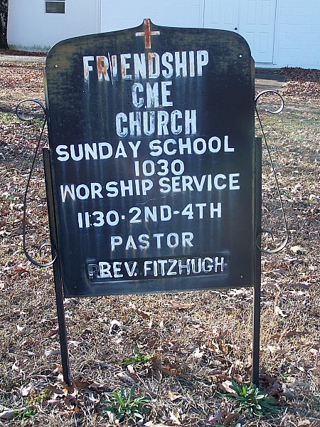
| Description | : | The Friendship Cemetery is located about 2 miles East of McIllwain on the Manleys Chapel Road about 1/4 mile from the Pauline Road across the road from the old Moore's-Flatwoods Cemetery, and behind the new Friendship Church building. This being a fairly new cemetery, there are only two stones, as of 1996. The cemetery is well-groomed. A relatively new cemetery, located to the rear of the Friendship CME Church, on Manleys Chapel Rd. |
frequently asked questions (FAQ):
-
Where is Friendship Church Cemetery?
Friendship Church Cemetery is located at Manleys Chapel Road McIllwain, Benton County ,Tennessee , 38341USA.
-
Friendship Church Cemetery cemetery's updated grave count on graveviews.com?
14 memorials
-
Where are the coordinates of the Friendship Church Cemetery?
Latitude: 35.8682710
Longitude: -88.0551560
Nearby Cemetories:
1. Manley Chapel Cemetery
McIllwain, Benton County, USA
Coordinate: 35.8690750, -88.0543250
2. Moore's Chapel Cemetery
McIllwain, Benton County, USA
Coordinate: 35.8690750, -88.0543250
3. Thornton Cemetery
Holladay, Benton County, USA
Coordinate: 35.8634810, -88.0791180
4. McIllwain Cemetery
McIllwain, Benton County, USA
Coordinate: 35.8634900, -88.0819700
5. Cox Family Cemetery
Holladay, Benton County, USA
Coordinate: 35.8888100, -88.0700310
6. Ezekiel Tippitt Cemetery
Holladay, Benton County, USA
Coordinate: 35.8875750, -88.0739270
7. Tippitt Cemetery
Benton County, USA
Coordinate: 35.8877983, -88.0736008
8. Capps Cemetery
Holladay, Benton County, USA
Coordinate: 35.8997002, -88.0444031
9. Flatwoods Baptist Cemetery
Benton County, USA
Coordinate: 35.8486450, -88.0877350
10. Caney Fork Cemetery
Benton County, USA
Coordinate: 35.8885994, -88.0919037
11. Fry Cemetery
Holladay, Benton County, USA
Coordinate: 35.8966530, -88.0252880
12. Morgan Creek Primitive Baptist Cemetery
Holladay, Benton County, USA
Coordinate: 35.8409840, -88.0211680
13. Wesson Cemetery
Decatur County, USA
Coordinate: 35.8325005, -88.0357971
14. Malin Cemetery
Holladay, Benton County, USA
Coordinate: 35.8955430, -88.0161442
15. Cox-Wilson Cemetery
Decatur County, USA
Coordinate: 35.8299300, -88.0791600
16. Gossett Cemetery
Holladay, Benton County, USA
Coordinate: 35.9057020, -88.0969140
17. Spence Cemetery
Yellow Springs, Decatur County, USA
Coordinate: 35.8249340, -88.0892620
18. Wilbanks Cemetery
Holladay, Benton County, USA
Coordinate: 35.8831960, -87.9942490
19. Mathews Cemetery
Chaseville, Benton County, USA
Coordinate: 35.8783000, -88.1178750
20. Bradley Cemetery
Benton County, USA
Coordinate: 35.8332470, -87.9994860
21. Dry Branch Cemetery
Holladay, Benton County, USA
Coordinate: 35.8985190, -87.9915550
22. Matlock Cemetery
Benton County, USA
Coordinate: 35.9030991, -87.9944000
23. Kelly Family Cemetery
Holladay, Benton County, USA
Coordinate: 35.9196200, -88.0985400
24. Peebles Sims Cemetery
Benton County, USA
Coordinate: 35.9236650, -88.0101830