
| Memorials | : | 0 |
| Location | : | Ewhurst, Waverley Borough, England |
| Coordinate | : | 51.1303800, -0.3895000 |
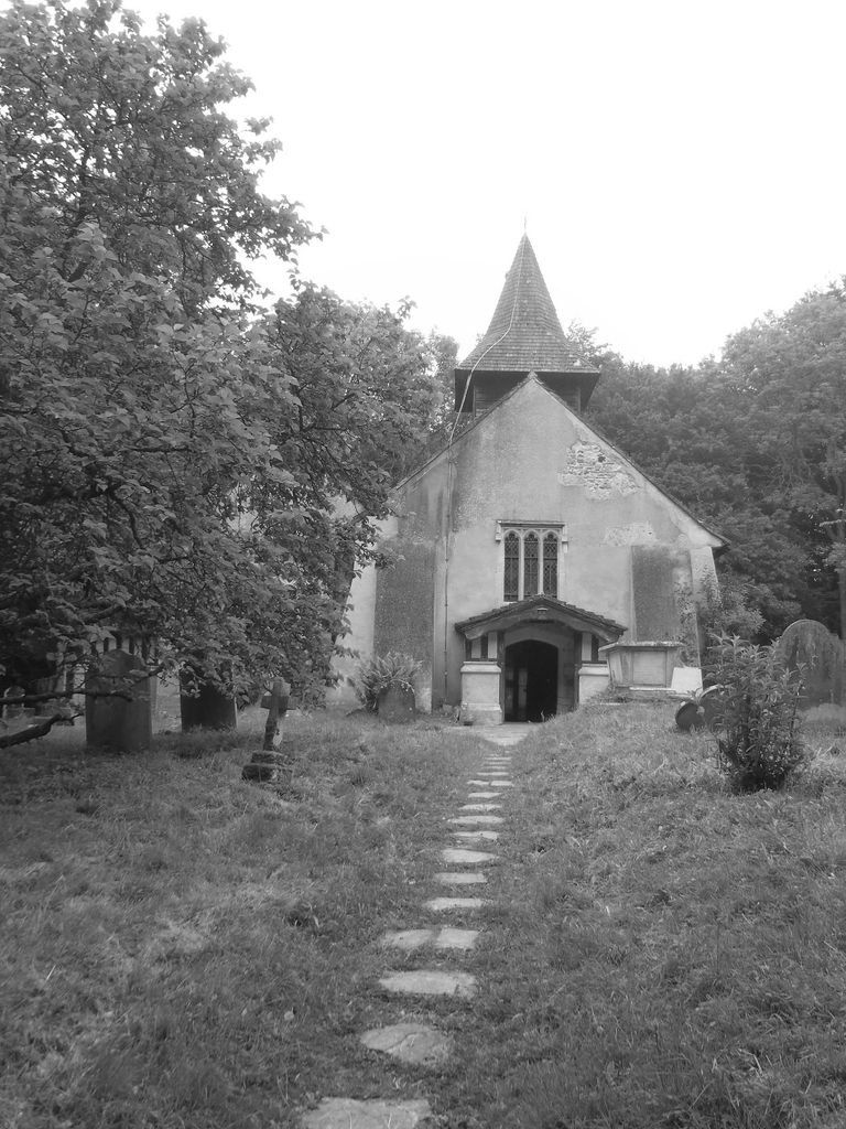
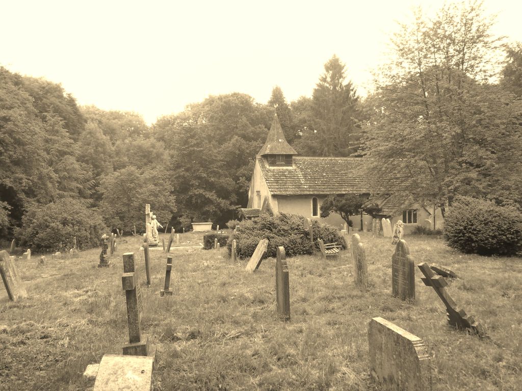
| Description | : | The present Church dates from about 1220, but religious connections with the site probably date even further back. Originally built as a Chapel of Ease to the ‘official' Parish Church at Wotton, Okewood was restored and endowed with lands by Edward de la Hale in the 15th Century. A beautiful brass set into the old floor of the chancel commemorates his death in 1431. By 1700 the Chapel was in a dilapidated state. At one time there were wall paintings all around the walls, and although eroded by damp, traces of them can still be seen on the south wall. Major... Read More |
frequently asked questions (FAQ):
-
Where is Okewood St John the Baptist Churchyard?
Okewood St John the Baptist Churchyard is located at Church Lane Ewhurst, Waverley Borough ,Surrey , RH5 5QTEngland.
-
Okewood St John the Baptist Churchyard cemetery's updated grave count on graveviews.com?
0 memorials
-
Where are the coordinates of the Okewood St John the Baptist Churchyard?
Latitude: 51.1303800
Longitude: -0.3895000


Nearby Cemetories:
1. St John the Baptist Churchyard
Oakwoodhill, Mole Valley District, England
Coordinate: 51.1304600, -0.3895700
2. Ockley Cemetery
Ockley, Mole Valley District, England
Coordinate: 51.1473610, -0.3654400
3. St Margaret Churchyard
Ockley, Mole Valley District, England
Coordinate: 51.1534880, -0.3473790
4. St Peter & St Paul Churchyard
Ewhurst, Waverley Borough, England
Coordinate: 51.1530910, -0.4409600
5. Pleystowe in Capel Friends Grounds
Capel, Mole Valley District, England
Coordinate: 51.1411900, -0.3161300
6. Capel Friends Burial Ground #2
Capel, Mole Valley District, England
Coordinate: 51.1513970, -0.3219210
7. Holy Trinity Churchyard
Rudgwick, Horsham District, England
Coordinate: 51.0973900, -0.4442800
8. St. Margaret Churchyard
Warnham, Horsham District, England
Coordinate: 51.0903160, -0.3462410
9. St. John the Baptist Churchyard
Capel, Mole Valley District, England
Coordinate: 51.1539730, -0.3201980
10. Christ Church Churchyard
Coldharbour, Mole Valley District, England
Coordinate: 51.1807050, -0.3576190
11. St Peter Churchyard
Slinfold, Horsham District, England
Coordinate: 51.0725490, -0.4057220
12. St Mary the Virgin Churchyard
Holmbury St Mary, Mole Valley District, England
Coordinate: 51.1882600, -0.4130600
13. Cranleigh Cemetery
Cranleigh, Waverley Borough, England
Coordinate: 51.1432100, -0.4845330
14. Felday Chapel
Holmbury St Mary, Mole Valley District, England
Coordinate: 51.1900360, -0.4129370
15. St Nicolas Churchyard
Cranleigh, Waverley Borough, England
Coordinate: 51.1408830, -0.4860670
16. Saint Mary Magdalene Churchyard
Rusper, Horsham District, England
Coordinate: 51.1227750, -0.2789080
17. Hills Cemetery
Horsham, Horsham District, England
Coordinate: 51.0645800, -0.3463350
18. St James Churchyard
Abinger, Mole Valley District, England
Coordinate: 51.2017820, -0.4056060
19. St Peter Churchyard
Newdigate, Mole Valley District, England
Coordinate: 51.1652200, -0.2884860
20. St Mary Magdalene Churchyard
South Holmwood, Mole Valley District, England
Coordinate: 51.1904660, -0.3243540
21. St Mary the Virgin Churchyard
Horsham, Horsham District, England
Coordinate: 51.0597360, -0.3309600
22. Denne Road Cemetery
Horsham, Horsham District, England
Coordinate: 51.0596630, -0.3286750
23. Roffey Cemetery
Horsham, Horsham District, England
Coordinate: 51.0769320, -0.2930890
24. St Nicolas Churchyard
Itchingfield, Horsham District, England
Coordinate: 51.0485300, -0.3867900