
| Memorials | : | 2 |
| Location | : | Beyer, Indiana County, USA |
| Coordinate | : | 40.7868780, -79.2149500 |
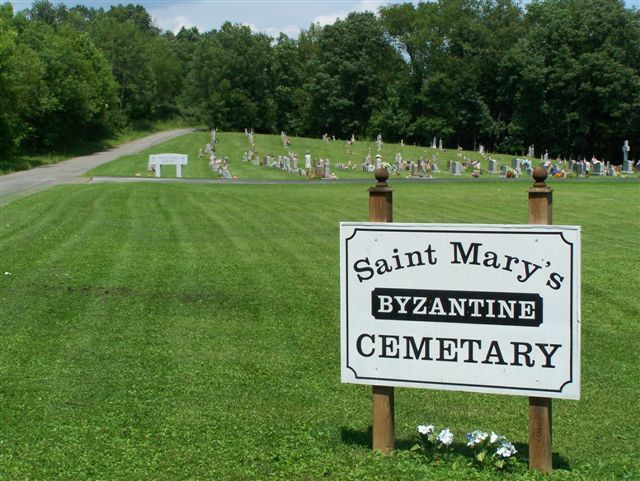
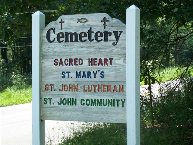
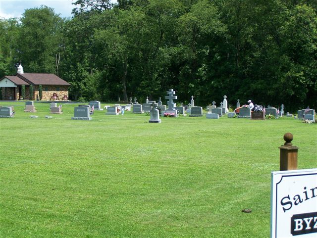
| Description | : | St. Mary's Byzantine Church Cemetery is part of a three Cemetery Complex. This cemetery is the middle cemetery and, if one follows the driving directions, it is the second one, right after the St. John's Lutheran and just before the Sacred Heart Catholic Cemetery. These three cemeteries, on located on Cemetery Road and are between Sagamore and Beyer, PA. At this point, Cemetery Road is the boundary line between Armstrong and Indiana County. (From Route 210; the left side, of this road, is Armstrong County and the right side, is Indiana County.)... Read More |
frequently asked questions (FAQ):
-
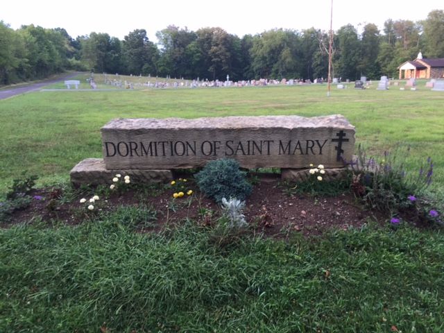
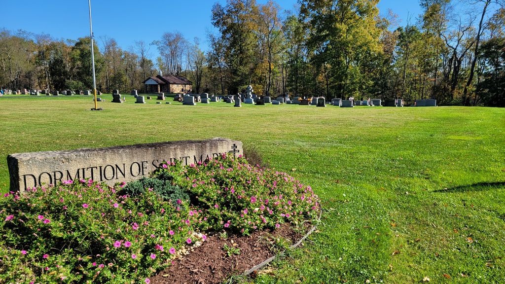
Where is Dormition of Saint Mary Cemetery?
Dormition of Saint Mary Cemetery is located at Township Road 724 Beyer, Indiana County ,Pennsylvania , 16222USA.
-
Dormition of Saint Mary Cemetery cemetery's updated grave count on graveviews.com?
2 memorials
-
Where are the coordinates of the Dormition of Saint Mary Cemetery?
Latitude: 40.7868780
Longitude: -79.2149500
Nearby Cemetories:
1. Sacred Heart Cemetery
Beyer, Indiana County, USA
Coordinate: 40.7877998, -79.2149963
2. Saint John Lutheran Cemetery
Sagamore, Armstrong County, USA
Coordinate: 40.7858009, -79.2149963
3. Saint Mary's Cemetery
Kittanning, Armstrong County, USA
Coordinate: 40.7896420, -79.2153120
4. Slate Hill Cemetery
Dayton, Armstrong County, USA
Coordinate: 40.7946430, -79.2228310
5. Plumville Cemetery
Plumville, Indiana County, USA
Coordinate: 40.7912000, -79.1799000
6. Bohan Family Farm Burial
Dayton, Armstrong County, USA
Coordinate: 40.7970470, -79.2572490
7. Beracha Presbyterian Church Cemetery
Plumville, Indiana County, USA
Coordinate: 40.7984690, -79.1723190
8. Old Mahoning Baptist Cemetery
South Mahoning Township, Indiana County, USA
Coordinate: 40.8262620, -79.1944240
9. Atwood Cemetery
Atwood, Armstrong County, USA
Coordinate: 40.7527504, -79.2682037
10. Harmony Grove Cemetery
Indiana County, USA
Coordinate: 40.7318993, -79.2200012
11. Smicksburg Cemetery
Smicksburg, Indiana County, USA
Coordinate: 40.8428001, -79.1766968
12. Rural Valley Cemetery
Rural Valley, Armstrong County, USA
Coordinate: 40.8019714, -79.3118515
13. Washington Church Cemetery
Home, Indiana County, USA
Coordinate: 40.7366730, -79.1355620
14. United Presbyterian Cemetery
Dayton, Armstrong County, USA
Coordinate: 40.8652000, -79.2297000
15. Old Washington Church Cemetery
Home, Indiana County, USA
Coordinate: 40.7318993, -79.1346970
16. Dayton Glade Run Cemetery
Dayton, Armstrong County, USA
Coordinate: 40.8710136, -79.2356262
17. Harkleroad Cemetery
Rural Valley, Armstrong County, USA
Coordinate: 40.7718964, -79.3289719
18. Schrecengost Farm Cemetery
Armstrong County, USA
Coordinate: 40.8288070, -79.3177450
19. Crooked Creek Baptist Cemetery
Rayne Township, Indiana County, USA
Coordinate: 40.7116000, -79.1517000
20. Fisher Cemetery
Elderton, Armstrong County, USA
Coordinate: 40.7110610, -79.2780520
21. Saint Michael's Episcopal Cemetery
Rural Valley, Armstrong County, USA
Coordinate: 40.8542328, -79.3036499
22. Georgeville Cemetery
Georgeville, Indiana County, USA
Coordinate: 40.8314000, -79.1027000
23. Speedy Cemetery
Indiana County, USA
Coordinate: 40.6917000, -79.2425003
24. Pleasant Union Cemetery
Cowanshannock Township, Armstrong County, USA
Coordinate: 40.8314018, -79.3350449