| Memorials | : | 1 |
| Location | : | Dayton, Armstrong County, USA |
| Coordinate | : | 40.8652000, -79.2297000 |
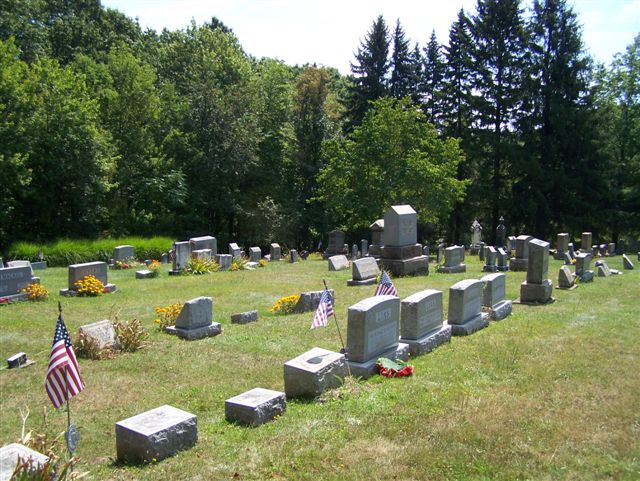
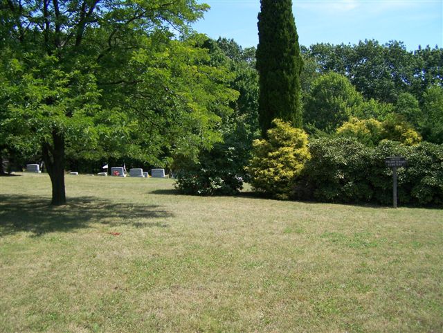
| Description | : | Driving Directions: In Cowanshannock Township, Armstrong County, PA: From the intersection of State Route 85 and State Route 839, take Route 839 North, toward Dayton, PA and drive for 5.36 miles, to the intersection of 839 and Drake Road. At Drake Road, turn right and drive for 0.27 miles to the cemetery, on the left. If you pass Dayton Smicksburg Road or get into the town of Dayton, you have gone too far. Note: Be mindful of the Horse and Buggy and drive carefully...This is Amish country and they are everywhere. |
frequently asked questions (FAQ):
-
Where is United Presbyterian Cemetery?
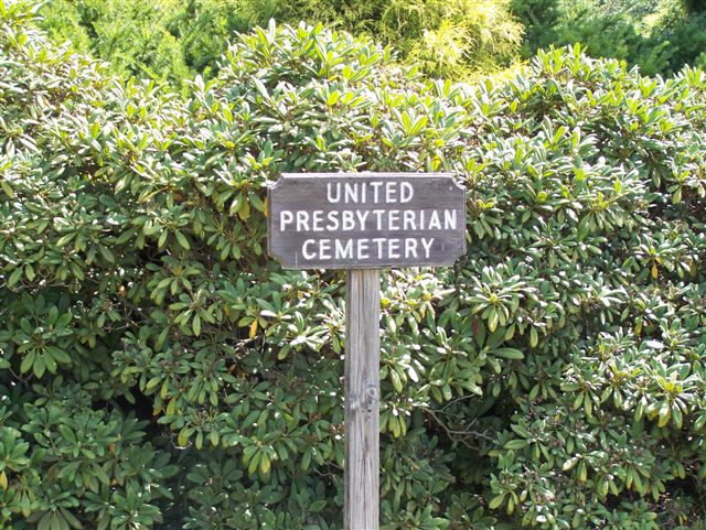
United Presbyterian Cemetery is located at Dayton, Armstrong County ,Pennsylvania ,USA.
-
United Presbyterian Cemetery cemetery's updated grave count on graveviews.com?
0 memorials
-
Where are the coordinates of the United Presbyterian Cemetery?
Latitude: 40.8652000
Longitude: -79.2297000
Nearby Cemetories:
1. Dayton Glade Run Cemetery
Dayton, Armstrong County, USA
Coordinate: 40.8710136, -79.2356262
2. Emory Chapel Memorial Park
Dayton, Armstrong County, USA
Coordinate: 40.8882930, -79.2371320
3. Coleman Cemetery
Smicksburg, Indiana County, USA
Coordinate: 40.8890800, -79.1881600
4. Milton Cemetery
Milton, Armstrong County, USA
Coordinate: 40.9086720, -79.2170050
5. Smicksburg Cemetery
Smicksburg, Indiana County, USA
Coordinate: 40.8428001, -79.1766968
6. Old Mahoning Baptist Cemetery
South Mahoning Township, Indiana County, USA
Coordinate: 40.8262620, -79.1944240
7. Belknap Cemetery
Dayton, Armstrong County, USA
Coordinate: 40.8926000, -79.2957000
8. Saint Michael's Episcopal Cemetery
Rural Valley, Armstrong County, USA
Coordinate: 40.8542328, -79.3036499
9. Fairview Cemetery
Porter, Jefferson County, USA
Coordinate: 40.9260941, -79.1888504
10. Slate Hill Cemetery
Dayton, Armstrong County, USA
Coordinate: 40.7946430, -79.2228310
11. Bohan Family Farm Burial
Dayton, Armstrong County, USA
Coordinate: 40.7970470, -79.2572490
12. Copenhaver Crossroads Cemetery
Mc Gregor, Armstrong County, USA
Coordinate: 40.9379463, -79.2207184
13. Echo Methodist Episcopal Church Cemetery
Armstrong County, USA
Coordinate: 40.8570420, -79.3275330
14. Concord Presbyterian Church Cemetery
Wayne Township, Armstrong County, USA
Coordinate: 40.8910599, -79.3240356
15. Schrecengost Farm Cemetery
Armstrong County, USA
Coordinate: 40.8288070, -79.3177450
16. Saint Mary's Cemetery
Kittanning, Armstrong County, USA
Coordinate: 40.7896420, -79.2153120
17. McCreas Furnace Cemetery
McCrea Furnace, Armstrong County, USA
Coordinate: 40.9242060, -79.2952070
18. Sacred Heart Cemetery
Beyer, Indiana County, USA
Coordinate: 40.7877998, -79.2149963
19. Dormition of Saint Mary Cemetery
Beyer, Indiana County, USA
Coordinate: 40.7868780, -79.2149500
20. Beracha Presbyterian Church Cemetery
Plumville, Indiana County, USA
Coordinate: 40.7984690, -79.1723190
21. Saint John Lutheran Cemetery
Sagamore, Armstrong County, USA
Coordinate: 40.7858009, -79.2149963
22. Milliron Family Cemetery
Putneyville, Armstrong County, USA
Coordinate: 40.9268490, -79.2997460
23. Plumville Cemetery
Plumville, Indiana County, USA
Coordinate: 40.7912000, -79.1799000
24. Saint Mark's Lutheran Church Cemetery
Eddyville, Armstrong County, USA
Coordinate: 40.9414139, -79.2808609


