
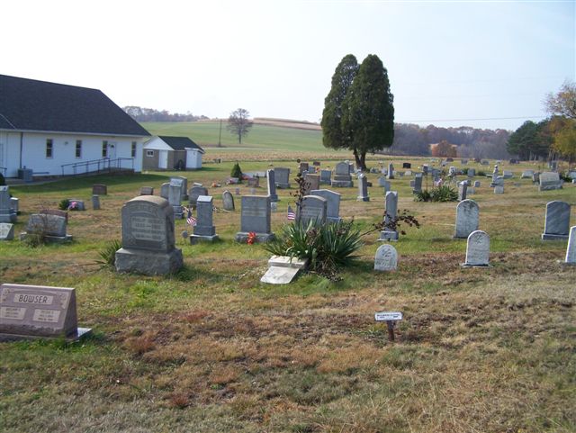
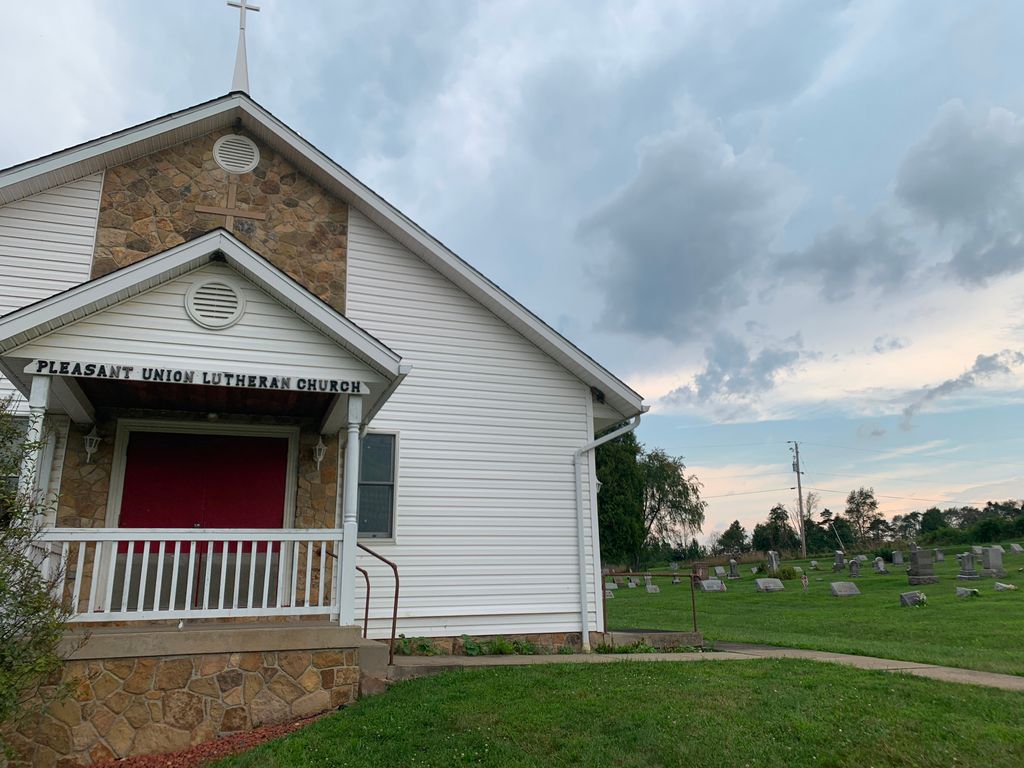
| Memorials | : | 3 |
| Location | : | Cowanshannock Township, Armstrong County, USA |
| Coordinate | : | 40.8314018, -79.3350449 |
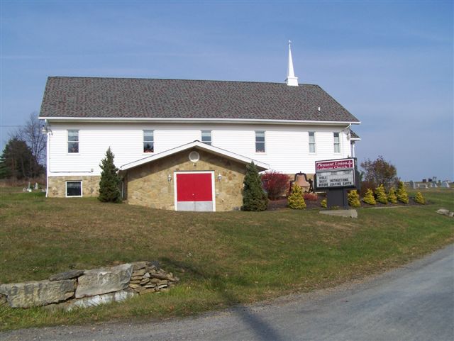
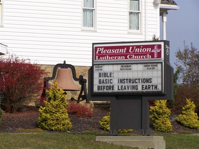
| Description | : | Directions: In Rural Valley, Armstrong County, Pennsylvania, at the intersection of North and South Water Street, with Pennsylvania Route 85, drive west, on Route 85, for 1.46 miles, to the intersection of Little Rock Road and Route 85. Turn right, on Little Rock Road and drive north for 2.24 miles, to the Pleasant Union Church and Cemetery on the left. On Little Rock Road, you will drive past the Golf Course and shortly past that, you will arrive at the intersection of Hills Church Road. You can see Pleasant Union Church from this intersection. |
frequently asked questions (FAQ):
-
Where is Pleasant Union Cemetery?
Pleasant Union Cemetery is located at Cowanshannock Township, Armstrong County ,Pennsylvania ,USA.
-
Pleasant Union Cemetery cemetery's updated grave count on graveviews.com?
3 memorials
-
Where are the coordinates of the Pleasant Union Cemetery?
Latitude: 40.8314018
Longitude: -79.3350449
Nearby Cemetories:
1. Schrecengost Farm Cemetery
Armstrong County, USA
Coordinate: 40.8288070, -79.3177450
2. Salem United Church of Christ Cemetery
Kittanning, Armstrong County, USA
Coordinate: 40.8244130, -79.3559970
3. Echo Methodist Episcopal Church Cemetery
Armstrong County, USA
Coordinate: 40.8570420, -79.3275330
4. Saint Michael's Episcopal Cemetery
Rural Valley, Armstrong County, USA
Coordinate: 40.8542328, -79.3036499
5. Rural Valley Cemetery
Rural Valley, Armstrong County, USA
Coordinate: 40.8019714, -79.3118515
6. Elgin-Old Presbyterian Cemetery
Rural Valley, Armstrong County, USA
Coordinate: 40.8046646, -79.3662949
7. Calhoun Cemetery
Armstrong County, USA
Coordinate: 40.8502426, -79.3848648
8. Scott Fox Memorial Site
Kittanning, Armstrong County, USA
Coordinate: 40.8457580, -79.3972170
9. Harkleroad Cemetery
Rural Valley, Armstrong County, USA
Coordinate: 40.7718964, -79.3289719
10. Sowers Cemetery
Rural Valley, Armstrong County, USA
Coordinate: 40.7775993, -79.3703003
11. Concord Presbyterian Church Cemetery
Wayne Township, Armstrong County, USA
Coordinate: 40.8910599, -79.3240356
12. Rehobeth Reformed Presbyterian Church Cemetery
Kittanning, Armstrong County, USA
Coordinate: 40.8922670, -79.3695690
13. Mount Union Davis Cemetery
Armstrong County, USA
Coordinate: 40.8323850, -79.4236530
14. Belknap Cemetery
Dayton, Armstrong County, USA
Coordinate: 40.8926000, -79.2957000
15. Bohan Family Farm Burial
Dayton, Armstrong County, USA
Coordinate: 40.7970470, -79.2572490
16. Simpson Church Cemetery
Kittanning, Armstrong County, USA
Coordinate: 40.7899000, -79.4083640
17. Saint Paul's Cemetery
Rural Valley, Armstrong County, USA
Coordinate: 40.7620583, -79.3640823
18. Mount Zion Presbyterian Cemetery
Boggs Township, Armstrong County, USA
Coordinate: 40.8717100, -79.4171980
19. Mateer Cemetery
Armstrong County, USA
Coordinate: 40.8721000, -79.4175000
20. Pine Creek Methodist Cemetery
Pine Furnace, Armstrong County, USA
Coordinate: 40.8497870, -79.4309590
21. Dayton Glade Run Cemetery
Dayton, Armstrong County, USA
Coordinate: 40.8710136, -79.2356262
22. Lower Piney Cemetery
Armstrong County, USA
Coordinate: 40.8655920, -79.4395400
23. United Presbyterian Cemetery
Dayton, Armstrong County, USA
Coordinate: 40.8652000, -79.2297000
24. Jerusalem Lutheran Cemetery
Wayne Township, Armstrong County, USA
Coordinate: 40.9197006, -79.3566971