
| Memorials | : | 7 |
| Location | : | St Albans, St Albans District, England |
| Coordinate | : | 51.7514540, -0.3438830 |
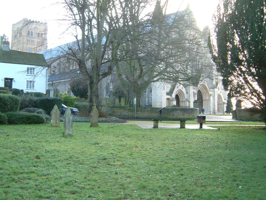
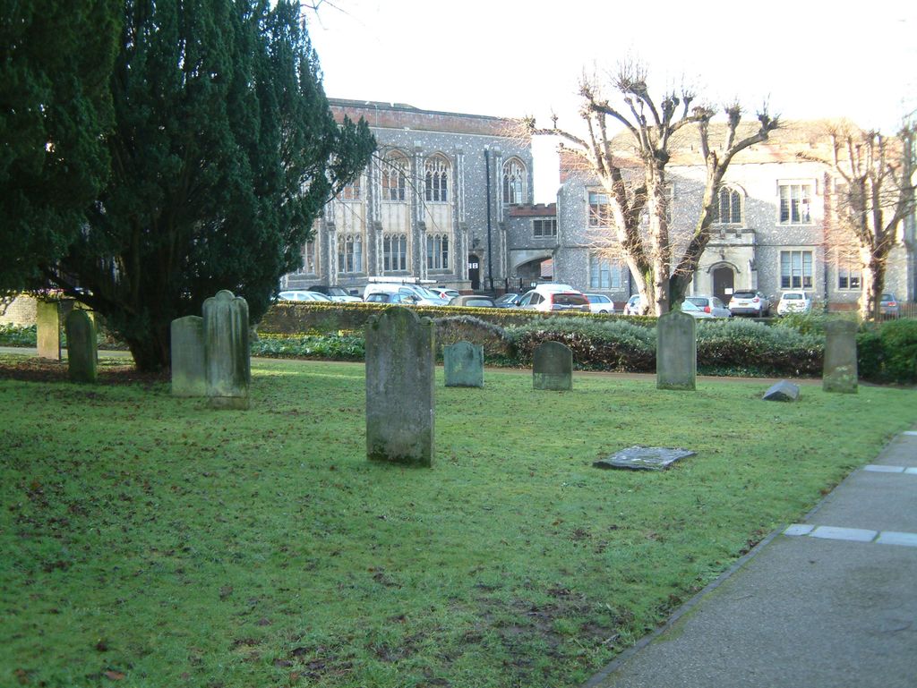
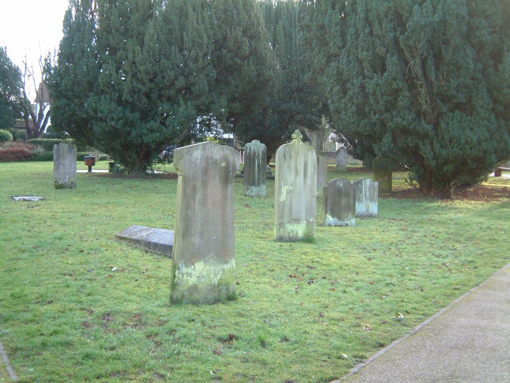
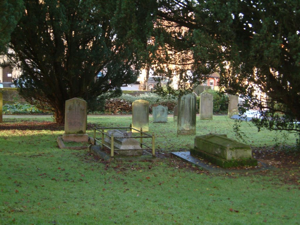
| Description | : | In 1812 the central part of Romeland, a large open space opposite the St Albans Abbey Gateway, was sold to the church and converted into a graveyard and was used as such until 1885 when it was closed. |
frequently asked questions (FAQ):
-
Where is Romeland Hill Garden of Rest?
Romeland Hill Garden of Rest is located at 2 Fishpool Street St Albans, St Albans District ,Hertfordshire , AL3 4RTEngland.
-
Romeland Hill Garden of Rest cemetery's updated grave count on graveviews.com?
7 memorials
-
Where are the coordinates of the Romeland Hill Garden of Rest?
Latitude: 51.7514540
Longitude: -0.3438830
Nearby Cemetories:
1. Spicer Street Chapel Burial Ground
St Albans, St Albans District, England
Coordinate: 51.7523288, -0.3423231
2. Saint Alban's Cathedral
St Albans, St Albans District, England
Coordinate: 51.7504425, -0.3423680
3. Dagnall Lane Baptist Chapel
St Albans, St Albans District, England
Coordinate: 51.7526990, -0.3405156
4. St Peter's Churchyard
St Albans, St Albans District, England
Coordinate: 51.7555400, -0.3350270
5. St Michael’s Churchyard
St Albans, St Albans District, England
Coordinate: 51.7529540, -0.3560640
6. St. Stephen's Churchyard
St Albans, St Albans District, England
Coordinate: 51.7417450, -0.3483370
7. Hatfield Road Cemetery
St Albans, St Albans District, England
Coordinate: 51.7523003, -0.3192620
8. London Road Cemetery
St Albans, St Albans District, England
Coordinate: 51.7333610, -0.3066110
9. Childwickbury Manor
Childwickbury, St Albans District, England
Coordinate: 51.7809460, -0.3499100
10. Frogmore Holy Trinity Burial Ground
St Albans District, England
Coordinate: 51.7197598, -0.3365342
11. St Mary Churchyard
Childwickbury, St Albans District, England
Coordinate: 51.7836980, -0.3473020
12. Holy Trinity Churchyard
St Albans, St Albans District, England
Coordinate: 51.7170354, -0.3334244
13. St Leonard Churchyard & Extension
Sandridge, St Albans District, England
Coordinate: 51.7813690, -0.3036580
14. Sir David Yule Mausoleum
St Albans, St Albans District, England
Coordinate: 51.7024660, -0.3505190
15. Woodwells Cemetery
Hemel Hempstead, Dacorum Borough, England
Coordinate: 51.7576500, -0.4280300
16. Holy Trinity Churchyard
Leverstock Green, Dacorum Borough, England
Coordinate: 51.7466800, -0.4295770
17. St. Mary's Churchyard
Redbourn, St Albans District, England
Coordinate: 51.7916200, -0.4066100
18. East Lane Cemetery
Leavesden, Three Rivers District, England
Coordinate: 51.7084796, -0.4036263
19. West Herts Crematorium
Watford, Watford Borough, England
Coordinate: 51.7004195, -0.3847509
20. Saint Bololph's Churchyard
Shenley, Hertsmere Borough, England
Coordinate: 51.7030296, -0.2890460
21. All Saints Churchyard
Watford Borough, England
Coordinate: 51.6954810, -0.3885560
22. Hill End Hospital Cemetery
St Albans, St Albans District, England
Coordinate: 51.6982051, -0.2901128
23. St Lawrence the Martyr Churchyard
Abbots Langley, Three Rivers District, England
Coordinate: 51.7077650, -0.4170030
24. Wheathampstead United Churchyard
Wheathampstead, St Albans District, England
Coordinate: 51.8108170, -0.2972210