| Memorials | : | 0 |
| Location | : | Waddesdon, Aylesbury Vale District, England |
| Coordinate | : | 51.8464760, -0.9269500 |
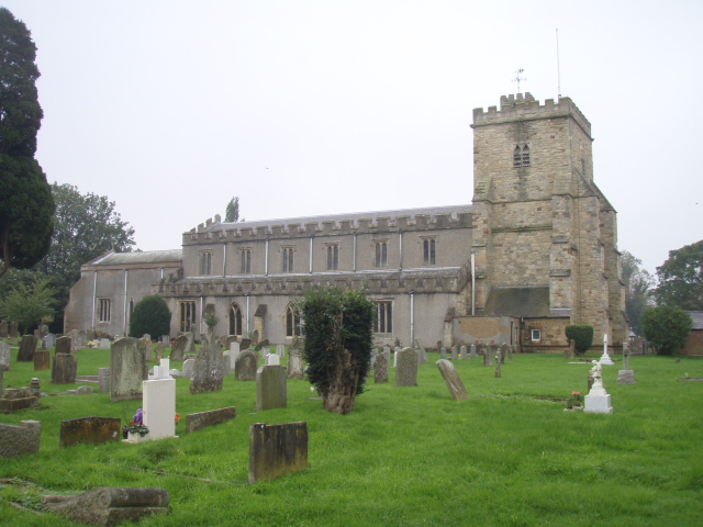
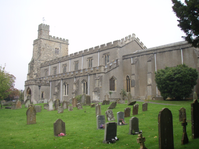
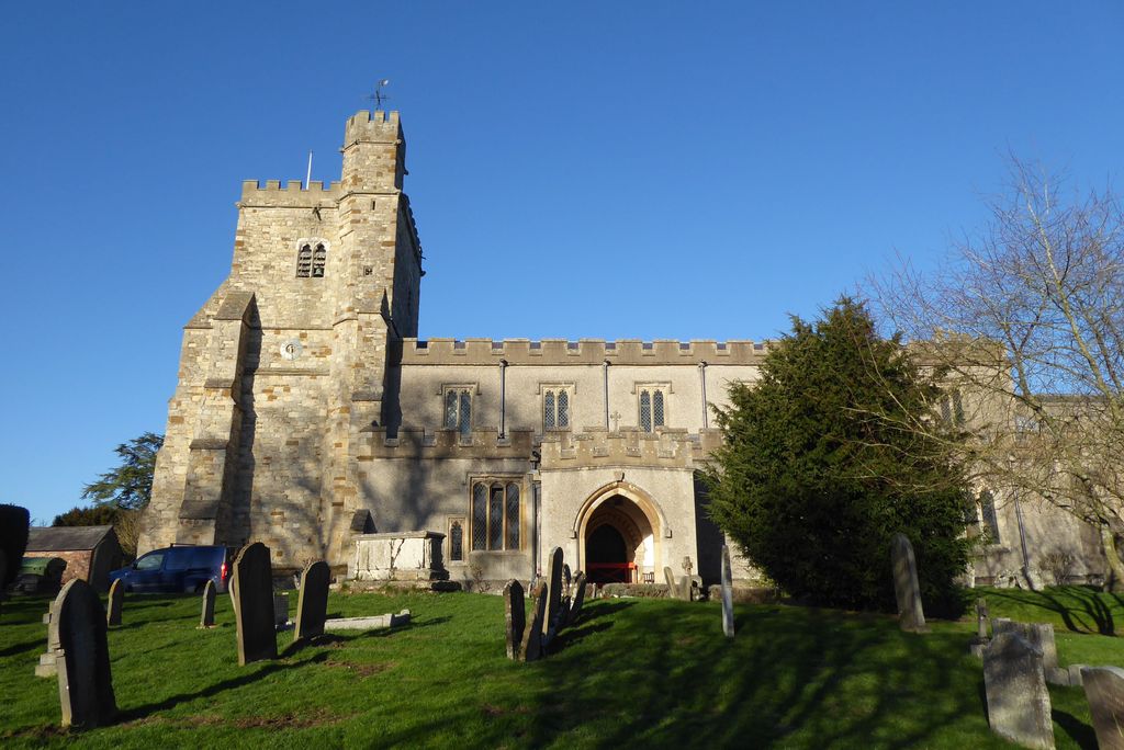
| Description | : | Waddesdon (pronounced "Wad-stun") is a village within the Aylesbury Vale district in Buckinghamshire, England, 6 miles from Aylesbury on the A41 road. The centre of a civil parish, including the hamlets of Eythrope, Wormstone and Woodham, Waddesdon was an agricultural settlement with milling, silk weaving and lace making enterprises. The parish church of St Michael and All Angels dates from 1190 with medieval and Victorian additions. In 1874, Baron Ferdinand de Rothschild bought a large estate in the area and built the mansion of Waddesdon Manor on a hill-top above the village. He transformed Waddesdon into an estate... Read More |
frequently asked questions (FAQ):
-
Where is St. Michael and All Angels Churchyard?
St. Michael and All Angels Churchyard is located at High Street, A41 Waddesdon, Aylesbury Vale District ,Buckinghamshire ,England.
-
St. Michael and All Angels Churchyard cemetery's updated grave count on graveviews.com?
0 memorials
-
Where are the coordinates of the St. Michael and All Angels Churchyard?
Latitude: 51.8464760
Longitude: -0.9269500
Nearby Cemetories:
1. Waddesdon Hill Strict Baptist Chapel Chapelyard
Waddesdon, Aylesbury Vale District, England
Coordinate: 51.8289880, -0.9083030
2. St Marys Churchyard
Westcott, Aylesbury Vale District, England
Coordinate: 51.8482790, -0.9609600
3. St Mary Magdalene Churchyard
Upper Winchendon, Aylesbury Vale District, England
Coordinate: 51.8240620, -0.9192140
4. St. Mary and Holy Cross Churchyard
Quainton, Aylesbury Vale District, England
Coordinate: 51.8747440, -0.9116610
5. St Marys Churchyard
Ashendon, Aylesbury Vale District, England
Coordinate: 51.8221320, -0.9784380
6. St. Nicholas' Churchyard
Nether Winchendon, Aylesbury Vale District, England
Coordinate: 51.8041000, -0.9388000
7. St. Giles Churchyard
Pitchcott, Aylesbury Vale District, England
Coordinate: 51.8768733, -0.8750126
8. St. Peter's Churchyard
Quarrendon, Aylesbury Vale District, England
Coordinate: 51.8276630, -0.8616030
9. St. John the Baptist Churchyard
Hogshaw, Aylesbury Vale District, England
Coordinate: 51.8966960, -0.9297480
10. St. Nicholas Churchyard
Cuddington, Aylesbury Vale District, England
Coordinate: 51.7944300, -0.9320400
11. Eythrope Road Cemetery
Stone, Aylesbury Vale District, England
Coordinate: 51.8068250, -0.8652493
12. All Saints Churchyard
Oving, Aylesbury Vale District, England
Coordinate: 51.8859230, -0.8644540
13. St. John the Baptist Churchyard
Stone, Aylesbury Vale District, England
Coordinate: 51.8034640, -0.8644200
14. Saint Peter and Saint Paul Churchyard
Dinton, Aylesbury Vale District, England
Coordinate: 51.7931690, -0.8901620
15. Primitive Methodist Church Churchyard (Defunct)
North Marston, Aylesbury Vale District, England
Coordinate: 51.8987110, -0.8828110
16. St. Mary's Churchyard
North Marston, Aylesbury Vale District, England
Coordinate: 51.8971600, -0.8720400
17. St John the Baptist
Dorton, Aylesbury Vale District, England
Coordinate: 51.8198434, -1.0162377
18. St Mary the Virgin with Weedon Churchyard
Hardwick, Aylesbury Vale District, England
Coordinate: 51.8636070, -0.8301330
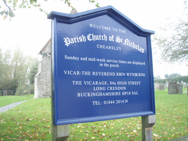
19. St Nicholas Churchyard
Chearsley, Aylesbury Vale District, England
Coordinate: 51.7868900, -0.9571600
20. St. Mary's Churchyard
Hartwell, Aylesbury Vale District, England
Coordinate: 51.8052662, -0.8484938
21. St. John the Evangelist Churchyard
Whitchurch, Aylesbury Vale District, England
Coordinate: 51.8806720, -0.8351220
22. St Leonard Churchyard
Grendon Underwood, Aylesbury Vale District, England
Coordinate: 51.8832800, -1.0174800
23. Weedon Methodist Chapelyard
Weedon, Aylesbury Vale District, England
Coordinate: 51.8554190, -0.8184970
24. St. Mary's Churchyard
Chilton, Aylesbury Vale District, England
Coordinate: 51.7988760, -1.0055490


