
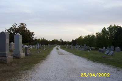
| Memorials | : | 7 |
| Location | : | Selmer, McNairy County, USA |
| Coordinate | : | 35.1420180, -88.5904980 |
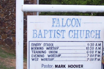
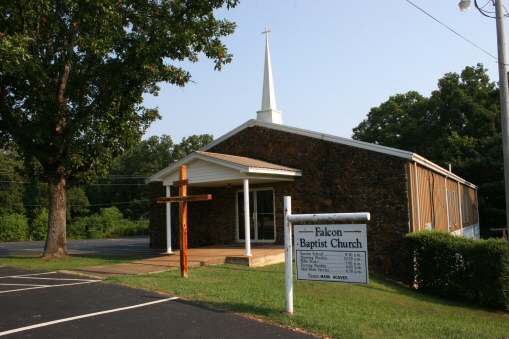
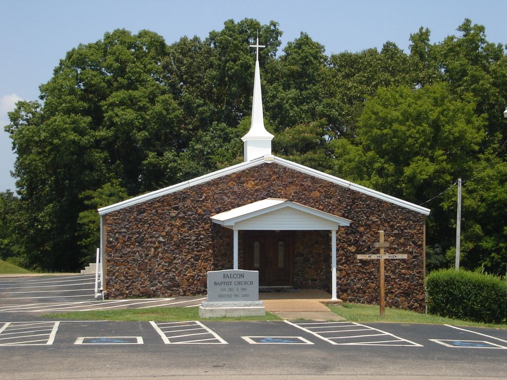
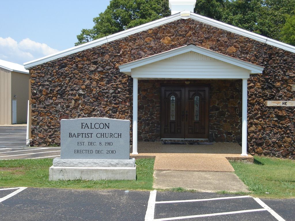
| Description | : | From the intersection of Falcon St. & US-64, west of Selmer, travel southeast on Falcon St. for 0.7 mi.; turning southwest onto Falcon Rd., going 0.7 mi. to the entrance driveway of cemetery on the south (right) opposite the Falcon Church on the north (right). |
frequently asked questions (FAQ):
-
Where is Falcon Cemetery?
Falcon Cemetery is located at 777 Falcon Road Selmer, McNairy County ,Tennessee , 38375USA.
-
Falcon Cemetery cemetery's updated grave count on graveviews.com?
7 memorials
-
Where are the coordinates of the Falcon Cemetery?
Latitude: 35.1420180
Longitude: -88.5904980
Nearby Cemetories:
1. McCullar Family Cemetery
Selmer, McNairy County, USA
Coordinate: 35.1642580, -88.5716610
2. Hope McNairy County Memorial Cemetery
Selmer, McNairy County, USA
Coordinate: 35.1221970, -88.5618700
3. Mount Zion MB Church Cemetery
Selmer, McNairy County, USA
Coordinate: 35.1730920, -88.5710370
4. Simpson-Wolfe Cemetery
Selmer, McNairy County, USA
Coordinate: 35.1644420, -88.6240660
5. Oak Hill Cemetery
Selmer, McNairy County, USA
Coordinate: 35.1785650, -88.6008290
6. Fellowship Baptist Church Cemetery
Selmer, McNairy County, USA
Coordinate: 35.1519470, -88.5456420
7. Pleasant Grove Cemetery
Selmer, McNairy County, USA
Coordinate: 35.1116160, -88.5604710
8. Warren Cemetery
Selmer, McNairy County, USA
Coordinate: 35.1775480, -88.5603820
9. Prather Cemetery
Selmer, McNairy County, USA
Coordinate: 35.0990860, -88.5695710
10. Poor Farm Cemetery
McNairy County, USA
Coordinate: 35.1802990, -88.5564760
11. Friendship Church Cemetery
Ramer, McNairy County, USA
Coordinate: 35.0994500, -88.6299730
12. Bethesda Memorial Gardens
Selmer, McNairy County, USA
Coordinate: 35.1988880, -88.5709240
13. Union Grove Church Cemetery
Selmer, McNairy County, USA
Coordinate: 35.1463330, -88.5071040
14. Ramer Cemetery
Ramer, McNairy County, USA
Coordinate: 35.0772870, -88.6183260
15. Prospect Church Cemetery
Selmer, McNairy County, USA
Coordinate: 35.1453460, -88.5053200
16. Ramer Baptist Cemetery
Ramer, McNairy County, USA
Coordinate: 35.0732300, -88.6146650
17. Spring Hill Cemetery
Selmer, McNairy County, USA
Coordinate: 35.1193700, -88.5061040
18. Sulphur Springs United Methodist Church Cemetery
Selmer, McNairy County, USA
Coordinate: 35.1337900, -88.6791110
19. Mount Vernon Church Cemetery
Eastview, McNairy County, USA
Coordinate: 35.0706120, -88.5714030
20. McAlpin Cemetery
Ramer, McNairy County, USA
Coordinate: 35.0813330, -88.6455110
21. Old Littlejohn Cemetery
Eastview, McNairy County, USA
Coordinate: 35.0816048, -88.5349080
22. Eastview Baptist Church Cemetery
Selmer, McNairy County, USA
Coordinate: 35.0752460, -88.5467150
23. Lake Hill Memory Gardens
Bethel Springs, McNairy County, USA
Coordinate: 35.2169810, -88.6048380
24. Gravel Hill Baptist Church Cemetery
Gravel Hill, McNairy County, USA
Coordinate: 35.0869350, -88.5253090