| Memorials | : | 0 |
| Location | : | Coventry, Metropolitan Borough of Coventry, England |
| Coordinate | : | 52.4115820, -1.4747430 |
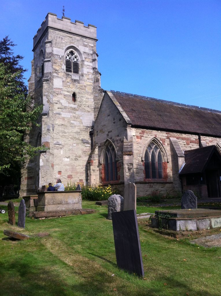
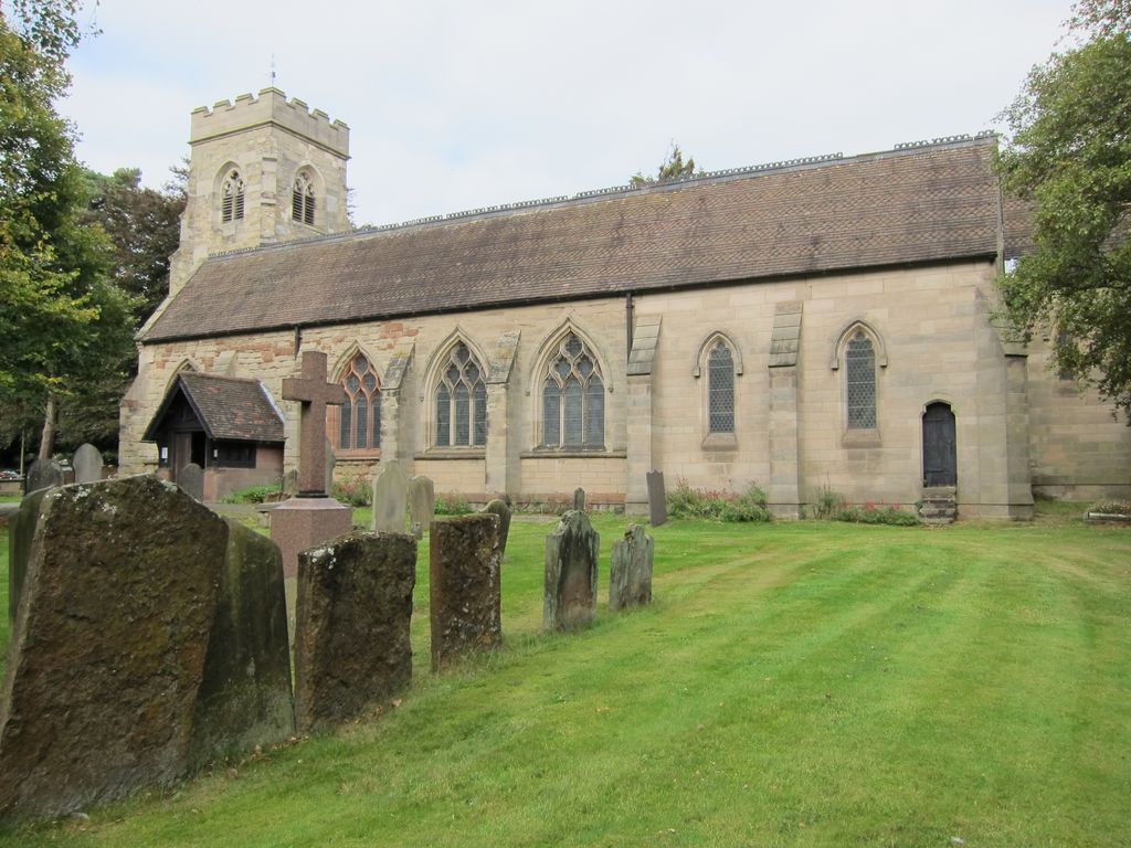
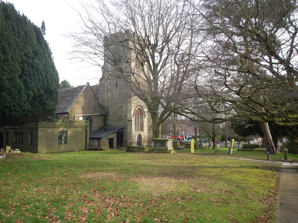
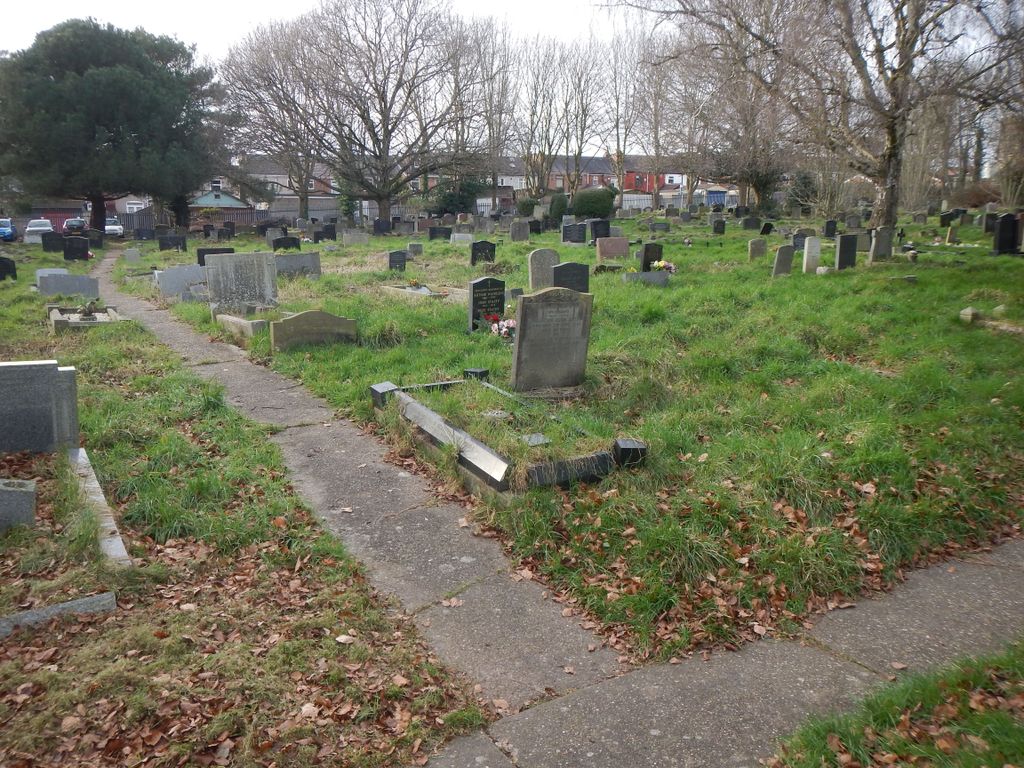
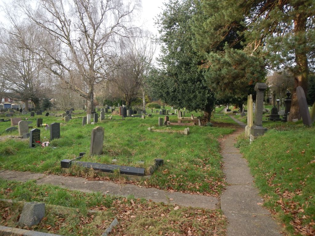
| Description | : | This is quite and old cemetery and abit tricky to navigate as the ground in parts is very uneven, good footwear is advisable. There are alot of hidden rabbit holes so be careful.[text by Legsie11] The foundation of the church is said to date to 1100 when Hugh, the Earl of Chester, built a church on the site. Sometime during King Stephen's reign (1135-54) the fourth Earl of Chester, Ranulph, gave all the churches in his possession (among them Stoke) to the Priory of St Mary. |
frequently asked questions (FAQ):
-
Where is St Michael Churchyard?
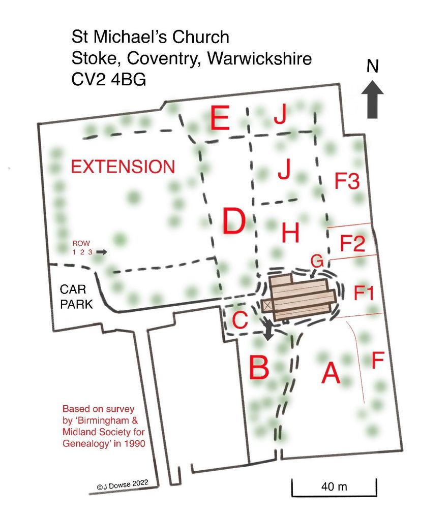
St Michael Churchyard is located at Walsgrave Road Coventry, Metropolitan Borough of Coventry ,West Midlands , CV2 4BGEngland.
-
St Michael Churchyard cemetery's updated grave count on graveviews.com?
0 memorials
-
Where are the coordinates of the St Michael Churchyard?
Latitude: 52.4115820
Longitude: -1.4747430
Nearby Cemetories:
1. St Mary Magdalen
Coventry, Metropolitan Borough of Coventry, England
Coordinate: 52.4236750, -1.4621960
2. St Mary Magdalene Wyken
Coventry, Metropolitan Borough of Coventry, England
Coordinate: 52.4236580, -1.4620770
3. White Friars
Coventry, Metropolitan Borough of Coventry, England
Coordinate: 52.4050100, -1.5014800
4. St Bartholomew Churchyard
Binley, Metropolitan Borough of Coventry, England
Coordinate: 52.4031820, -1.4468110
5. London Road Cemetery
Coventry, Metropolitan Borough of Coventry, England
Coordinate: 52.3975420, -1.4966730
6. Coventry Cathedral
Coventry, Metropolitan Borough of Coventry, England
Coordinate: 52.4083290, -1.5067360
7. St Michael's Cathedral
Coventry, Metropolitan Borough of Coventry, England
Coordinate: 52.4080000, -1.5071840
8. Saint Mary's Priory and Cathedral Coventry
Coventry, Metropolitan Borough of Coventry, England
Coordinate: 52.4089000, -1.5085000
9. Holy Trinity Churchyard
Coventry, Metropolitan Borough of Coventry, England
Coordinate: 52.4085450, -1.5093060
10. Greyfriars Coventry
Coventry, Metropolitan Borough of Coventry, England
Coordinate: 52.4059400, -1.5114400
11. Foleshill Road United Reformed Churchyard
Foleshill, Metropolitan Borough of Coventry, England
Coordinate: 52.4373320, -1.4919190
12. St. Paul's Cemetery
Coventry, Metropolitan Borough of Coventry, England
Coordinate: 52.4383200, -1.5047500
13. Walsgrave-on Sowe Cemetery
Walsgrave on Sowe, Metropolitan Borough of Coventry, England
Coordinate: 52.4420000, -1.4498100
14. St Mary Magdalen
Chapelfields, Metropolitan Borough of Coventry, England
Coordinate: 52.4078970, -1.5316060
15. Lentons Lane Cemetery
Coventry, Metropolitan Borough of Coventry, England
Coordinate: 52.4476000, -1.4469500
16. Saint John the Baptist Church
Baginton, Warwick District, England
Coordinate: 52.3698000, -1.4969000
17. St. Thomas Churchyard
Keresley, Metropolitan Borough of Coventry, England
Coordinate: 52.4395700, -1.5358000
18. Canley Garden Cemetery and Crematorium
Canley, Metropolitan Borough of Coventry, England
Coordinate: 52.3890370, -1.5475700
19. St Leonard's Churchyard
Ryton-on-Dunsmore, Rugby Borough, England
Coordinate: 52.3674940, -1.4338580
20. All Saints Churchyard
Allesley, Metropolitan Borough of Coventry, England
Coordinate: 52.4230817, -1.5563453
21. St Giles Churchyard
Exhall, Nuneaton and Bedworth Borough, England
Coordinate: 52.4623930, -1.5003010
22. Barnacle Chapel Churchyard
Rugby Borough, England
Coordinate: 52.4590430, -1.4350380
23. Saint James Parish Churchyard
Ansty, Rugby Borough, England
Coordinate: 52.4498190, -1.4132490
24. St Margaret's Churchyard
Wolston, Rugby Borough, England
Coordinate: 52.3783460, -1.3996960

