
| Memorials | : | 0 |
| Location | : | Tuxedo, Henderson County, USA |
| Coordinate | : | 35.2185860, -82.4416270 |
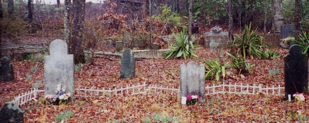
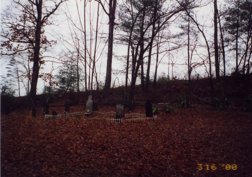
| Description | : | Located off Icey Hill Road in the Tuxedo community. Icey Hill Road is off Old U.S. 25 between Mount Olivet Road and Green River Road. Go to the end of Icey Hill Road. The cemetery is through the left gate, to the southeast on top of a ridge. This is a private family cemetery located on private property. At one time there were field stones in the center of the cemetery. The distance between the upper and lower halves of the cemetery is about 69 feet. |
frequently asked questions (FAQ):
-
Where is Freeman-Murray Cemetery?
Freeman-Murray Cemetery is located at Tuxedo, Henderson County ,North Carolina ,USA.
-
Freeman-Murray Cemetery cemetery's updated grave count on graveviews.com?
0 memorials
-
Where are the coordinates of the Freeman-Murray Cemetery?
Latitude: 35.2185860
Longitude: -82.4416270
Nearby Cemetories:
1. Andrews Cemetery
Henderson County, USA
Coordinate: 35.2089005, -82.4507980
2. Bell Family Cemetery
Tuxedo, Henderson County, USA
Coordinate: 35.2158970, -82.4247920
3. Tuxedo First Baptist Church Cemetery
Zirconia, Henderson County, USA
Coordinate: 35.2299000, -82.4285000
4. Mountain View Baptist Church Cemetery
Tuxedo, Henderson County, USA
Coordinate: 35.2325000, -82.4285000
5. Pace Cemetery
Henderson County, USA
Coordinate: 35.2131004, -82.4625015
6. Davis Family Cemetery
Henderson County, USA
Coordinate: 35.1979750, -82.4363250
7. Crossroads Baptist Church Cemetery
Zirconia, Henderson County, USA
Coordinate: 35.2287090, -82.4154320
8. Beddingfield Cemetery
Henderson County, USA
Coordinate: 35.1948690, -82.4523670
9. Bayne-Bane-Capps Cemetery
Henderson County, USA
Coordinate: 35.2057991, -82.4721985
10. Ward Family Cemetery
Henderson County, USA
Coordinate: 35.2308780, -82.4049850
11. Mount Olivet Baptist Church Cemetery
Zirconia, Henderson County, USA
Coordinate: 35.2366900, -82.4749000
12. Double Springs Cemetery
Zirconia, Henderson County, USA
Coordinate: 35.1838989, -82.4289017
13. Fortune-Kuykendall Cemetery
Zirconia, Henderson County, USA
Coordinate: 35.2424000, -82.4032000
14. Mountain Valley Baptist Church Cemetery
Zirconia, Henderson County, USA
Coordinate: 35.2146988, -82.4938965
15. Hill Mausoleum
Flat Rock, Henderson County, USA
Coordinate: 35.2630638, -82.4577080
16. Anders Cemetery at Bob's Creek
Henderson County, USA
Coordinate: 35.1817670, -82.4799890
17. Thompson Cemetery
Henderson County, USA
Coordinate: 35.1879160, -82.4935500
18. Berea Baptist Church Cemetery
Flat Rock, Henderson County, USA
Coordinate: 35.2564011, -82.4875031
19. Grace Missionary Baptist Church Cemetery
Mountain Page, Henderson County, USA
Coordinate: 35.2176960, -82.3746780
20. Anders Cemetery
East Flat Rock, Henderson County, USA
Coordinate: 35.2654700, -82.4064300
21. McDowell Cemetery
Zirconia, Henderson County, USA
Coordinate: 35.1971000, -82.5058000
22. Mountain Page Baptist Church Cemetery
Mountain Page, Henderson County, USA
Coordinate: 35.2097000, -82.3683400
23. Oak Grove Baptist Church Cemetery
East Flat Rock, Henderson County, USA
Coordinate: 35.2729000, -82.4031580
24. Saint John In the Wilderness Cemetery
Flat Rock, Henderson County, USA
Coordinate: 35.2821170, -82.4435670