
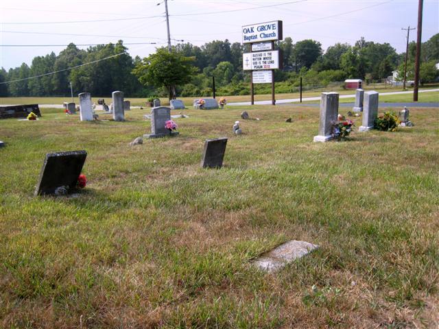
| Memorials | : | 9 |
| Location | : | East Flat Rock, Henderson County, USA |
| Coordinate | : | 35.2729000, -82.4031580 |
frequently asked questions (FAQ):
-
Where is Oak Grove Baptist Church Cemetery?
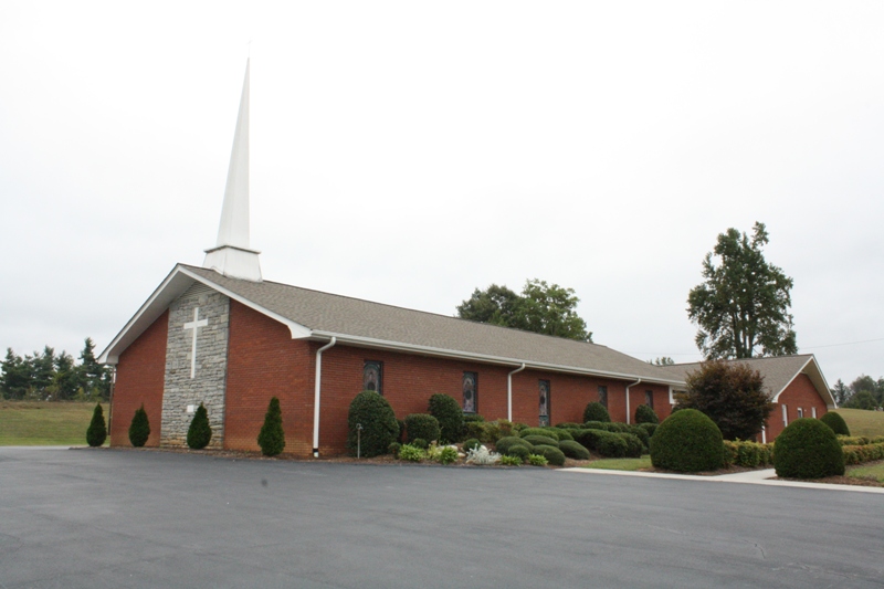
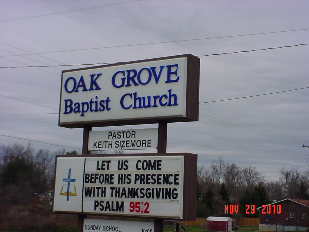
Oak Grove Baptist Church Cemetery is located at Oak Grove Road East Flat Rock, Henderson County ,North Carolina ,USA.
-
Oak Grove Baptist Church Cemetery cemetery's updated grave count on graveviews.com?
8 memorials
-
Where are the coordinates of the Oak Grove Baptist Church Cemetery?
Latitude: 35.2729000
Longitude: -82.4031580

Nearby Cemetories:
1. Anders Cemetery
East Flat Rock, Henderson County, USA
Coordinate: 35.2654700, -82.4064300
2. Gilbert-Justus Family Cemetery
Upward, Henderson County, USA
Coordinate: 35.2861000, -82.3894380
3. Oakland Cemetery
East Flat Rock, Henderson County, USA
Coordinate: 35.2835999, -82.4302979
4. Fortune-Kuykendall Cemetery
Zirconia, Henderson County, USA
Coordinate: 35.2424000, -82.4032000
5. Jones Family Cemetery at Upward
Upward, Henderson County, USA
Coordinate: 35.3022003, -82.3855972
6. Pinecrest Presbyterian Church Memorial Garden
Flat Rock, Henderson County, USA
Coordinate: 35.2822100, -82.4426360
7. Saint John In the Wilderness Cemetery
Flat Rock, Henderson County, USA
Coordinate: 35.2821170, -82.4435670
8. Hammett Family Cemetery
Upward, Henderson County, USA
Coordinate: 35.3090400, -82.3868630
9. Tracy Grove Baptist Church
Henderson County, USA
Coordinate: 35.3142014, -82.4045029
10. Ward Family Cemetery
Henderson County, USA
Coordinate: 35.2308780, -82.4049850
11. Bethel Wesleyan Church Cemetery
Henderson County, USA
Coordinate: 35.3157234, -82.4103165
12. Mud Creek Baptist Church Cemetery
Flat Rock, Henderson County, USA
Coordinate: 35.2905998, -82.4536972
13. Crossroads Baptist Church Cemetery
Zirconia, Henderson County, USA
Coordinate: 35.2287090, -82.4154320
14. Mountain View Baptist Church Cemetery
Tuxedo, Henderson County, USA
Coordinate: 35.2325000, -82.4285000
15. Hill Mausoleum
Flat Rock, Henderson County, USA
Coordinate: 35.2630638, -82.4577080
16. Tuxedo First Baptist Church Cemetery
Zirconia, Henderson County, USA
Coordinate: 35.2299000, -82.4285000
17. Saluda City Cemetery
Saluda, Polk County, USA
Coordinate: 35.2438600, -82.3505400
18. Forest Lawn Memorial Park
Henderson County, USA
Coordinate: 35.3225403, -82.4362411
19. Bell Family Cemetery
Tuxedo, Henderson County, USA
Coordinate: 35.2158970, -82.4247920
20. Grace Missionary Baptist Church Cemetery
Mountain Page, Henderson County, USA
Coordinate: 35.2176960, -82.3746780
21. Refuge Baptist Church Cemetery
Dana, Henderson County, USA
Coordinate: 35.3288002, -82.3751984
22. Freeman-Murray Cemetery
Tuxedo, Henderson County, USA
Coordinate: 35.2185860, -82.4416270
23. Old Mountain Page Baptist Cemetery
Mountain Page, Henderson County, USA
Coordinate: 35.2190300, -82.3607200
24. Saint James Episcopal Church Cemetery
Hendersonville, Henderson County, USA
Coordinate: 35.3198874, -82.4610627