
| Memorials | : | 656 |
| Location | : | Russellville, Brown County, USA |
| Coordinate | : | 38.8671989, -83.7671967 |
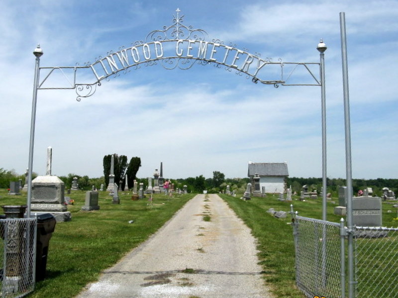
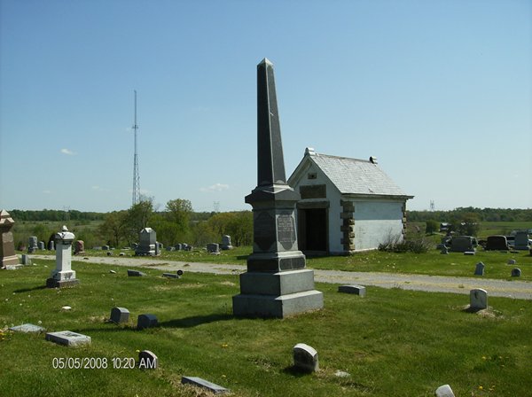
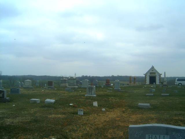
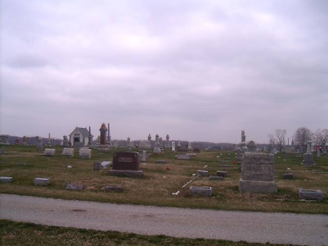
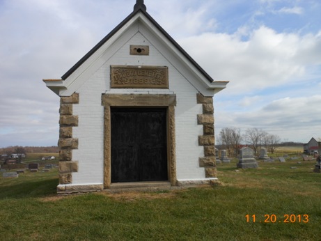
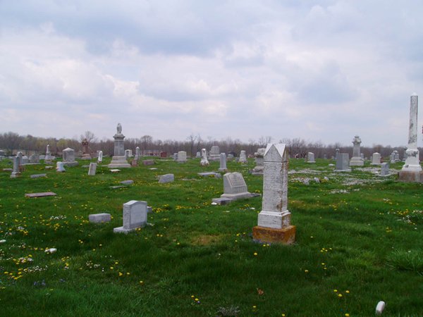
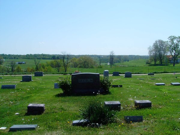
| Description | : | The cemetery is located on the north side of Russellville-Winchester Road (Ohio State Route 125) about 1.1 miles east of its intersection with Columbus Street (US 62). The cemetery is located in Jefferson Township, Brown County, Ohio, and is # 1139 (Linwood Cemetery) in “Ohio Cemeteries 1803-2003”, compiled by the Ohio Genealogical Society. The cemetery is registered with the Ohio Division of Real Estate and Professional Licensing (ODRE) as Linwood Cemetery with registration license number CGR.0000980709. The U.S. Geological Survey (USGS) Geographic Names Information System (GNIS) feature ID for the cemetery is 1042606 (Linwood Cemetery). |
frequently asked questions (FAQ):
-
Where is Linwood Cemetery?
Linwood Cemetery is located at Russellville-Winchester Road Russellville, Brown County ,Ohio , 45168USA.
-
Linwood Cemetery cemetery's updated grave count on graveviews.com?
650 memorials
-
Where are the coordinates of the Linwood Cemetery?
Latitude: 38.8671989
Longitude: -83.7671967
Nearby Cemetories:
1. Baird Cemetery
Russellville, Brown County, USA
Coordinate: 38.8594360, -83.7610016
2. Associated Reformed Churchyard
Russellville, Brown County, USA
Coordinate: 38.8657990, -83.7822037
3. Associated Reformed Churchyard
Russellville, Brown County, USA
Coordinate: 38.8596110, -83.7554720
4. Shaw Cemetery
Russellville, Brown County, USA
Coordinate: 38.8737950, -83.7898490
5. Old Russellville Cemetery
Russellville, Brown County, USA
Coordinate: 38.8513985, -83.7878036
6. Gardner Cemetery
Russellville, Brown County, USA
Coordinate: 38.8330200, -83.7884300
7. West-Evans Cemetery
Russellville, Brown County, USA
Coordinate: 38.8332750, -83.7333830
8. Glaze Cemetery
Jefferson Township, Brown County, USA
Coordinate: 38.8342300, -83.8029280
9. Rickey Cemetery
Jackson Township, Brown County, USA
Coordinate: 38.8913994, -83.7166977
10. Ashridge Cemetery
Ash Ridge, Brown County, USA
Coordinate: 38.9164009, -83.7536011
11. Eckman Cemetery
Decatur, Brown County, USA
Coordinate: 38.8453903, -83.7043152
12. Evans Cemetery
Decatur, Brown County, USA
Coordinate: 38.8177470, -83.7354080
13. Liberty Chapel Cemetery
Decatur, Brown County, USA
Coordinate: 38.8171997, -83.7350006
14. Bohrer Cemetery
Franklin Township, Brown County, USA
Coordinate: 38.9019012, -83.8257980
15. Wardlow Cemetery
Franklin Township, Brown County, USA
Coordinate: 38.8944016, -83.8358002
16. Abbott Burying Ground
Arnheim, Brown County, USA
Coordinate: 38.8944360, -83.8361210
17. Bennington Cemetery
Russellville, Brown County, USA
Coordinate: 38.8986015, -83.7007980
18. Dye Cemetery
Brown County, USA
Coordinate: 38.8586006, -83.8516998
19. Decatur Cemetery
Decatur, Brown County, USA
Coordinate: 38.8181000, -83.7011032
20. Reeves Family Cemetery
Redoak, Brown County, USA
Coordinate: 38.7961000, -83.7608300
21. Waters Cemetery
Huntington Township, Brown County, USA
Coordinate: 38.9249992, -83.7127991
22. Independence Cemetery
Jackson Township, Brown County, USA
Coordinate: 38.9281006, -83.7138977
23. Red Oak Presbyterian Church Cemetery
Redoak, Brown County, USA
Coordinate: 38.7967682, -83.7957916
24. Devore Family Cemetery
Union Township, Brown County, USA
Coordinate: 38.8053017, -83.8199997