
| Memorials | : | 62 |
| Location | : | Russellville, Brown County, USA |
| Coordinate | : | 38.8737950, -83.7898490 |
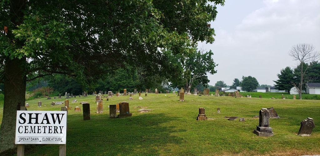
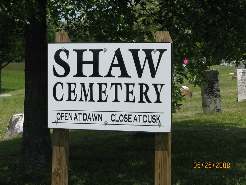
| Description | : | North of Russellvile, Ohio. West of Route 62 on Rishforth Road. Russell Shaw, the namesake of Russellville, gave the land for this cemetery and is buried there. The cemetery is located in Jefferson Township, Brown County, Ohio, and is # 1140 (Old Russellville Cemetery #1 / Shaw Cemetery) in “Ohio Cemeteries 1803-2003”, compiled by the Ohio Genealogical Society. The U.S. Geological Survey (USGS) Geographic Names Information System (GNIS) feature ID for the cemetery is 1048355 (Old Russellville Cemetery). |
frequently asked questions (FAQ):
-
Where is Shaw Cemetery?
Shaw Cemetery is located at N Kendle Street (County Road 33) Russellville, Brown County ,Ohio , 45168USA.
-
Shaw Cemetery cemetery's updated grave count on graveviews.com?
62 memorials
-
Where are the coordinates of the Shaw Cemetery?
Latitude: 38.8737950
Longitude: -83.7898490
Nearby Cemetories:
1. Associated Reformed Churchyard
Russellville, Brown County, USA
Coordinate: 38.8657990, -83.7822037
2. Linwood Cemetery
Russellville, Brown County, USA
Coordinate: 38.8671989, -83.7671967
3. Old Russellville Cemetery
Russellville, Brown County, USA
Coordinate: 38.8513985, -83.7878036
4. Baird Cemetery
Russellville, Brown County, USA
Coordinate: 38.8594360, -83.7610016
5. Associated Reformed Churchyard
Russellville, Brown County, USA
Coordinate: 38.8596110, -83.7554720
6. Bohrer Cemetery
Franklin Township, Brown County, USA
Coordinate: 38.9019012, -83.8257980
7. Gardner Cemetery
Russellville, Brown County, USA
Coordinate: 38.8330200, -83.7884300
8. Glaze Cemetery
Jefferson Township, Brown County, USA
Coordinate: 38.8342300, -83.8029280
9. Wardlow Cemetery
Franklin Township, Brown County, USA
Coordinate: 38.8944016, -83.8358002
10. Abbott Burying Ground
Arnheim, Brown County, USA
Coordinate: 38.8944360, -83.8361210
11. Dye Cemetery
Brown County, USA
Coordinate: 38.8586006, -83.8516998
12. Ashridge Cemetery
Ash Ridge, Brown County, USA
Coordinate: 38.9164009, -83.7536011
13. Rickey Cemetery
Jackson Township, Brown County, USA
Coordinate: 38.8913994, -83.7166977
14. West-Evans Cemetery
Russellville, Brown County, USA
Coordinate: 38.8332750, -83.7333830
15. Lutheran Cemetery
Arnheim, Brown County, USA
Coordinate: 38.9281006, -83.8283005
16. Straight Creek Baptist Cemetery
Arnheim, Brown County, USA
Coordinate: 38.9317017, -83.8193970
17. Jennings Family Cemetery
Georgetown, Brown County, USA
Coordinate: 38.8641982, -83.8689216
18. German Reformed Presbyterian Cemetery
Arnheim, Brown County, USA
Coordinate: 38.9311066, -83.8263702
19. West Fork Cemetery
Franklin Township, Brown County, USA
Coordinate: 38.9105988, -83.8578033
20. McFaddin Cemetery
Georgetown, Brown County, USA
Coordinate: 38.8819008, -83.8735962
21. Hillman Ridge Cemetery
Georgetown, Brown County, USA
Coordinate: 38.8353004, -83.8621979
22. Evans Cemetery
Decatur, Brown County, USA
Coordinate: 38.8177470, -83.7354080
23. Liberty Chapel Cemetery
Decatur, Brown County, USA
Coordinate: 38.8171997, -83.7350006
24. Devore Family Cemetery
Union Township, Brown County, USA
Coordinate: 38.8053017, -83.8199997