
| Memorials | : | 13 |
| Location | : | Syston, South Kesteven District, England |
| Coordinate | : | 52.9578420, -0.6172940 |
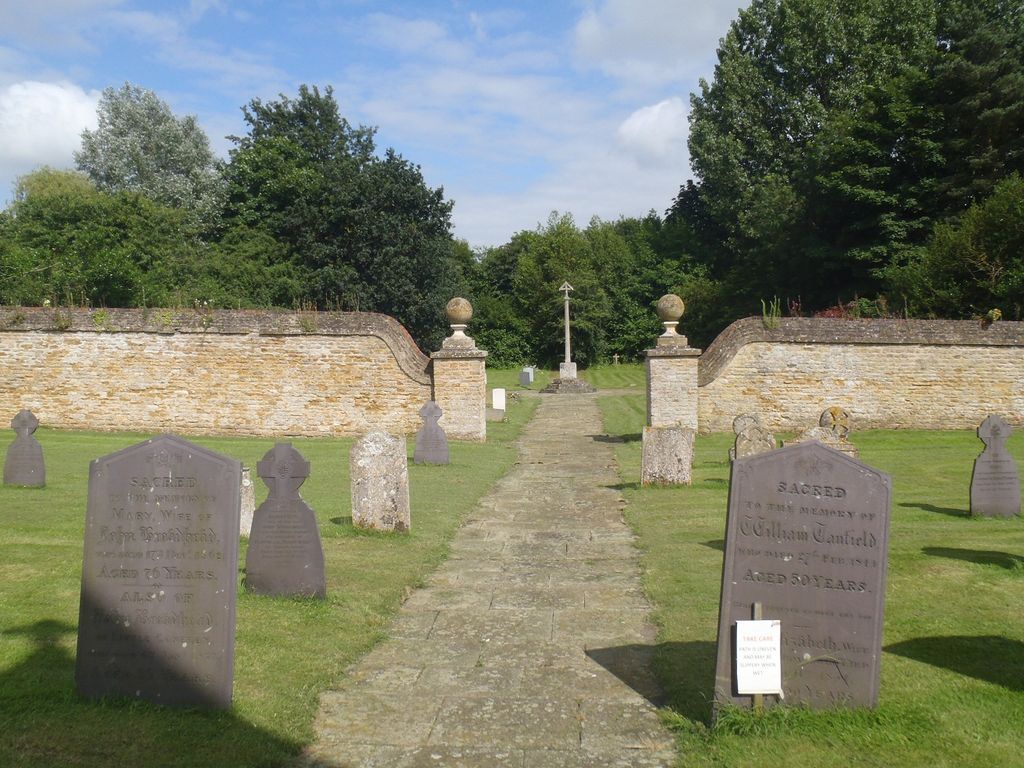
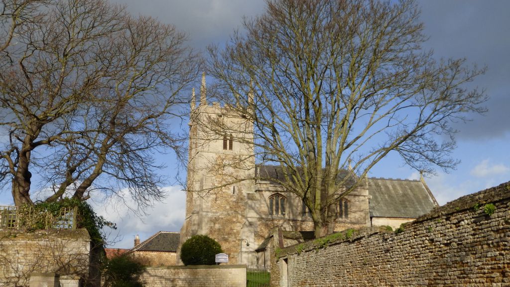
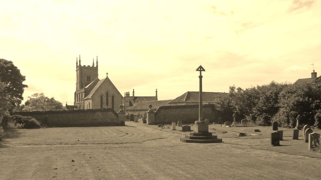
| Description | : | Syston is a small hamlet and civil parish located 3 miles (5 km) north of Grantham on the A607 road which runs to the county town of Lincoln. Syston is linked to the larger village of Barkston. |
frequently asked questions (FAQ):
-
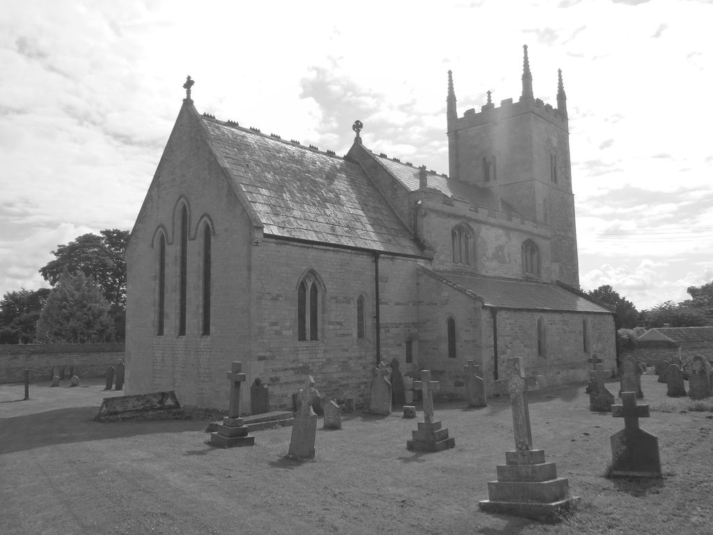
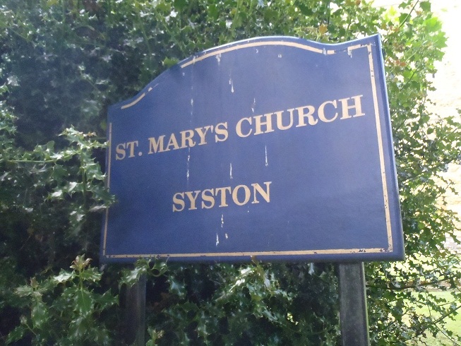
Where is St Marys Churchyard?
St Marys Churchyard is located at Main Street Syston, South Kesteven District ,Lincolnshire ,England.
-
St Marys Churchyard cemetery's updated grave count on graveviews.com?
13 memorials
-
Where are the coordinates of the St Marys Churchyard?
Latitude: 52.9578420
Longitude: -0.6172940
Nearby Cemetories:
1. St Nicholas Churchyard
Barkston, South Kesteven District, England
Coordinate: 52.9629960, -0.6129380
2. St. Peter and St. Paul's Churchyard
Belton, South Kesteven District, England
Coordinate: 52.9451000, -0.6177000
3. St. Wilfrid Churchyard
Honington, South Kesteven District, England
Coordinate: 52.9795600, -0.5965700
4. St John the Evangelist Churchyard
Manthorpe, South Kesteven District, England
Coordinate: 52.9306320, -0.6323160
5. St John the Baptist Churchyard
Londonthorpe, South Kesteven District, England
Coordinate: 52.9312060, -0.5837350
6. St Sebastian Churchyard
Great Gonerby, South Kesteven District, England
Coordinate: 52.9329260, -0.6657700
7. St. Nicholas Churchyard
Carlton Scroop, South Kesteven District, England
Coordinate: 52.9940290, -0.5895960
8. Manthorpe Road Old Cemetery
Grantham, South Kesteven District, England
Coordinate: 52.9173900, -0.6409900
9. St. Wulfram Churchyard
Grantham, South Kesteven District, England
Coordinate: 52.9148180, -0.6408520
10. All Saints Churchyard
Hougham, South Kesteven District, England
Coordinate: 52.9878240, -0.6806910
11. Grantham Cemetery and Crematorium
Grantham, South Kesteven District, England
Coordinate: 52.9095320, -0.6326120
12. All Saints Churchyard
Hough-on-the-Hill, South Kesteven District, England
Coordinate: 53.0069700, -0.6255100
13. St Nicholas Churchyard
Normanton, South Kesteven District, England
Coordinate: 53.0051390, -0.5874570
14. Ancaster Cemetery
Ancaster, South Kesteven District, England
Coordinate: 52.9814450, -0.5387892
15. St. Martin Churchyard
Ancaster, South Kesteven District, England
Coordinate: 52.9804810, -0.5377820
16. All Saints Churchyard
Barrowby, South Kesteven District, England
Coordinate: 52.9186420, -0.6946810
17. St James Churchyard
Allington, South Kesteven District, England
Coordinate: 52.9525695, -0.7245301
18. St Andrew Churchyard
Kelby, North Kesteven District, England
Coordinate: 52.9608000, -0.5074000
19. St. Andrew's Churchyard
South Kesteven District, England
Coordinate: 52.9608000, -0.5074000
20. St Peter Churchyard
Foston, South Kesteven District, England
Coordinate: 52.9771630, -0.7227360
21. St. Vincent Churchyard
Caythorpe, South Kesteven District, England
Coordinate: 53.0261420, -0.6015930
22. St. Lawrence Churchyard
Sedgebrook, South Kesteven District, England
Coordinate: 52.9329460, -0.7256530
23. St. Mary Magdalene Churchyard
Old Somerby, South Kesteven District, England
Coordinate: 52.8944900, -0.5672830
24. St. Mary's Churchyard
Wilsford, North Kesteven District, England
Coordinate: 52.9751600, -0.5023700