
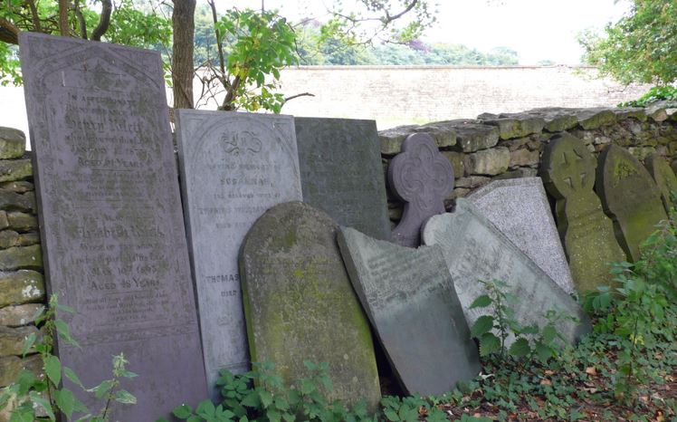
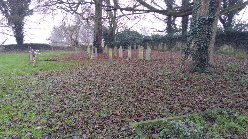
| Memorials | : | 49 |
| Location | : | Honington, South Kesteven District, England |
| Coordinate | : | 52.9795600, -0.5965700 |
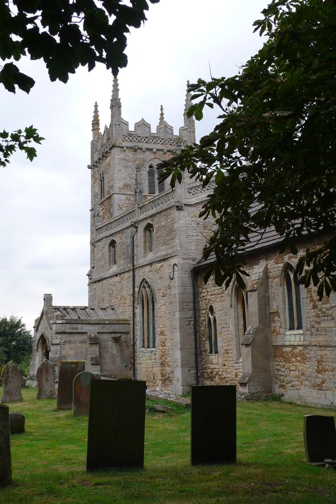
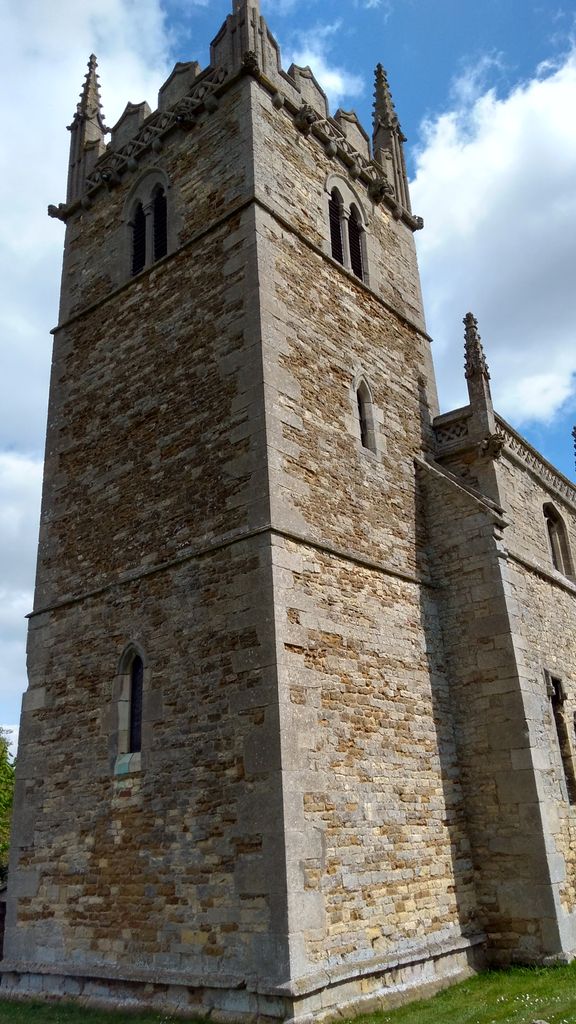
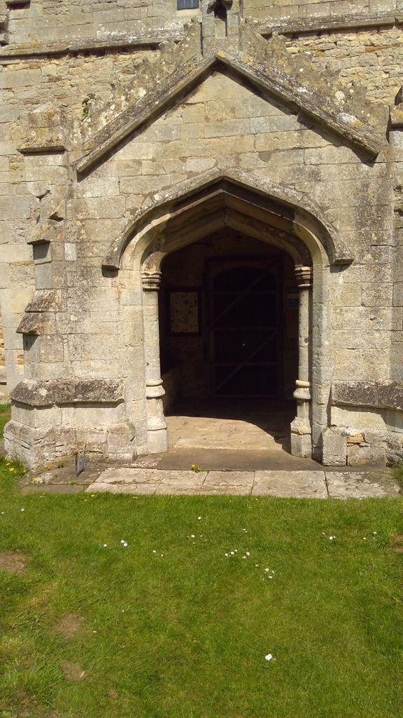
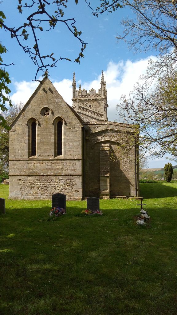
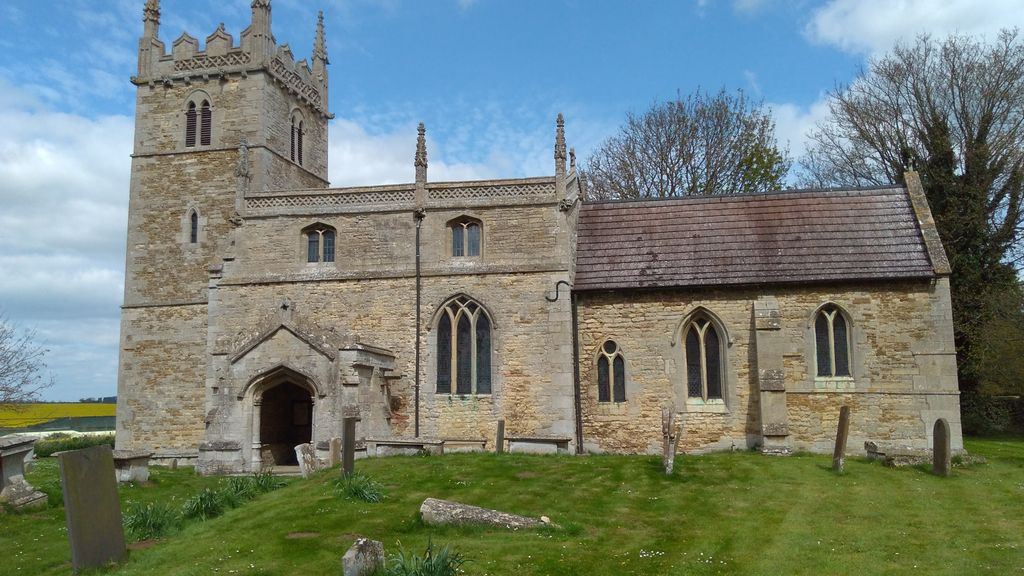
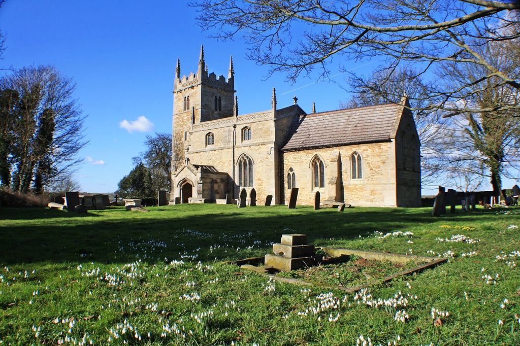
| Description | : | The parish church is dedicated to Saint Wilford (some sources show "Wilfrid" and others "Wilfred") and shows Norman influence in its design. The church tower and chancel were added to the original structure in the 13th century. The interior of the church tower was restored in 1873 and the chancel in 1889. The church and its graveyard lie off the village street at the rear of two houses and is seldom used. If lucky the key can be obtained from the right hand house as you walk up to the churchyard. |
frequently asked questions (FAQ):
-
Where is St. Wilfrid Churchyard?
St. Wilfrid Churchyard is located at Honington, South Kesteven District ,Lincolnshire ,England.
-
St. Wilfrid Churchyard cemetery's updated grave count on graveviews.com?
49 memorials
-
Where are the coordinates of the St. Wilfrid Churchyard?
Latitude: 52.9795600
Longitude: -0.5965700
Nearby Cemetories:
1. St. Nicholas Churchyard
Carlton Scroop, South Kesteven District, England
Coordinate: 52.9940290, -0.5895960
2. St Nicholas Churchyard
Barkston, South Kesteven District, England
Coordinate: 52.9629960, -0.6129380
3. St Marys Churchyard
Syston, South Kesteven District, England
Coordinate: 52.9578420, -0.6172940
4. St Nicholas Churchyard
Normanton, South Kesteven District, England
Coordinate: 53.0051390, -0.5874570
5. All Saints Churchyard
Hough-on-the-Hill, South Kesteven District, England
Coordinate: 53.0069700, -0.6255100
6. Ancaster Cemetery
Ancaster, South Kesteven District, England
Coordinate: 52.9814450, -0.5387892
7. St. Martin Churchyard
Ancaster, South Kesteven District, England
Coordinate: 52.9804810, -0.5377820
8. St. Peter and St. Paul's Churchyard
Belton, South Kesteven District, England
Coordinate: 52.9451000, -0.6177000
9. St. Vincent Churchyard
Caythorpe, South Kesteven District, England
Coordinate: 53.0261420, -0.6015930
10. St John the Baptist Churchyard
Londonthorpe, South Kesteven District, England
Coordinate: 52.9312060, -0.5837350
11. All Saints Churchyard
Hougham, South Kesteven District, England
Coordinate: 52.9878240, -0.6806910
12. St John the Evangelist Churchyard
Manthorpe, South Kesteven District, England
Coordinate: 52.9306320, -0.6323160
13. St Andrew Churchyard
Kelby, North Kesteven District, England
Coordinate: 52.9608000, -0.5074000
14. St. Andrew's Churchyard
South Kesteven District, England
Coordinate: 52.9608000, -0.5074000
15. St. Mary's Churchyard
Wilsford, North Kesteven District, England
Coordinate: 52.9751600, -0.5023700
16. St Sebastian Churchyard
Great Gonerby, South Kesteven District, England
Coordinate: 52.9329260, -0.6657700
17. St. Nicholas Churchyard
Fulbeck, South Kesteven District, England
Coordinate: 53.0426840, -0.5871030
18. Manthorpe Road Old Cemetery
Grantham, South Kesteven District, England
Coordinate: 52.9173900, -0.6409900
19. St. Michael's and All Angels Churchyard
Heydour, South Kesteven District, England
Coordinate: 52.9444900, -0.4987800
20. Saint Michael Churchyard
Heydour, South Kesteven District, England
Coordinate: 52.9443700, -0.4987000
21. St. Wulfram Churchyard
Grantham, South Kesteven District, England
Coordinate: 52.9148180, -0.6408520
22. Grantham Cemetery and Crematorium
Grantham, South Kesteven District, England
Coordinate: 52.9095320, -0.6326120
23. St Peter's Churchyard
North Rauceby, North Kesteven District, England
Coordinate: 53.0056400, -0.4796500
24. St Swithun Churchyard
Leadenham, North Kesteven District, England
Coordinate: 53.0545070, -0.5835610