
| Memorials | : | 0 |
| Location | : | Darksville, Randolph County, USA |
| Coordinate | : | 39.5655550, -92.5902770 |
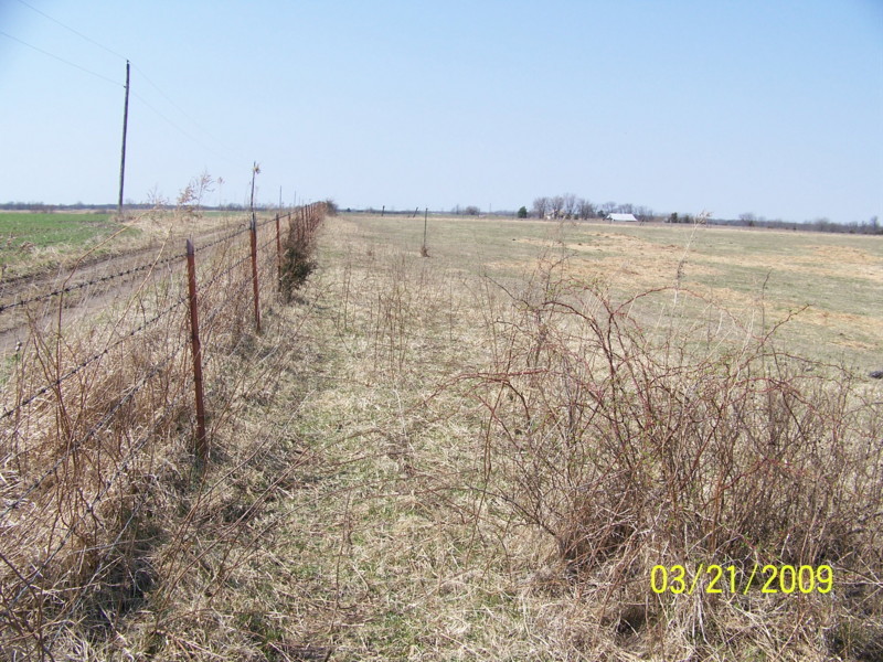
| Description | : | Located on CR 1179 north of Darksville The current landowners said there are several graves here which were decorated by descendents as recently as the 1990's. Apparently the graves were marked with fieldstones, and we found only bits and pieces. |
frequently asked questions (FAQ):
-
Where is Broaddus Cemetery?
Broaddus Cemetery is located at Darksville, Randolph County ,Missouri ,USA.
-
Broaddus Cemetery cemetery's updated grave count on graveviews.com?
0 memorials
-
Where are the coordinates of the Broaddus Cemetery?
Latitude: 39.5655550
Longitude: -92.5902770
Nearby Cemetories:
1. Hall Family Cemetery
Darksville, Randolph County, USA
Coordinate: 39.5613890, -92.5769090
2. Darksville Cemetery
Darksville, Randolph County, USA
Coordinate: 39.5542700, -92.5814900
3. Mount Shiloh Baptist Church Cemetery
Darksville, Randolph County, USA
Coordinate: 39.5534360, -92.5814940
4. Barnhart Cemetery
Randolph County, USA
Coordinate: 39.5731010, -92.5671997
5. Hickory Grove Cemetery
Randolph County, USA
Coordinate: 39.5402985, -92.5852966
6. Mount Olivette Cemetery
Darksville, Randolph County, USA
Coordinate: 39.5949170, -92.5946970
7. Marvin-Carter Cemetery
Randolph County, USA
Coordinate: 39.5957680, -92.5744400
8. Eldad Cumberland Presbyterian Cemetery
Randolph County, USA
Coordinate: 39.5380800, -92.6190800
9. Summers Family Cemetery
Huntsville, Randolph County, USA
Coordinate: 39.5439036, -92.5413740
10. Kitchen Cemetery
Macon County, USA
Coordinate: 39.6164100, -92.5964000
11. Dameron Family Cemetery
Randolph County, USA
Coordinate: 39.5952870, -92.6459750
12. College Mound Cemetery
College Mound, Macon County, USA
Coordinate: 39.6227600, -92.5749400
13. Gregory Cemetery
Randolph County, USA
Coordinate: 39.5640660, -92.5119030
14. Mount Carmel Cemetery
Clifton Hill, Randolph County, USA
Coordinate: 39.5825400, -92.6701700
15. Cleveland Cemetery
Darksville, Randolph County, USA
Coordinate: 39.5018380, -92.6006240
16. Hebron Cemetery
Macon, Macon County, USA
Coordinate: 39.6171608, -92.6407776
17. Eads Chapel Cemetery
Randolph County, USA
Coordinate: 39.5742580, -92.5052750
18. Clardy Cemetery
Randolph County, USA
Coordinate: 39.5901710, -92.6709040
19. Teter Cemetery
College Mound, Macon County, USA
Coordinate: 39.6275570, -92.5563600
20. McCully-Haines Cemetery
Randolph County, USA
Coordinate: 39.5080870, -92.6410220
21. Terry Cemetery
Huntsville, Randolph County, USA
Coordinate: 39.4985470, -92.5585630
22. Reynolds Cemetery
Jacksonville, Randolph County, USA
Coordinate: 39.5855700, -92.4982300
23. Ancell Cemetery
Cairo, Randolph County, USA
Coordinate: 39.5324600, -92.5044200
24. Martin Green Cemetery
Randolph County, USA
Coordinate: 39.4972340, -92.6369320