
| Memorials | : | 0 |
| Location | : | Union, Boone County, USA |
| Coordinate | : | 38.9338890, -84.6730560 |
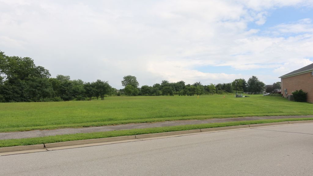
| Description | : | The cemetery was located at the east end of Chris Court. Burials occurred between 1851 and 1864. All burials were relocated to the Union Rice Cemetery on 12 April 2006. The Boone County GIS unique ID assigned to this cemetery is 200 (Baker, Philip Cemetery). The cemetery is not listed on the Boone County Kentucky Cemetery Map published in 2005 by the Boone County Planning Commission in conjunction with Johnson-Wilson Cemetery Stewards Association. The cemetery is identified as Baker Cemetery #2 in the index and listed as Baker Graveyard on page 248 of the book “Boone County, Kentucky Cemeteries” by Stephen W. Worrel,... Read More |
frequently asked questions (FAQ):
-
Where is Philip Baker Cemetery (Defunct)?
Philip Baker Cemetery (Defunct) is located at Chris Court Union, Boone County ,Kentucky , 41091USA.
-
Philip Baker Cemetery (Defunct) cemetery's updated grave count on graveviews.com?
0 memorials
-
Where are the coordinates of the Philip Baker Cemetery (Defunct)?
Latitude: 38.9338890
Longitude: -84.6730560
Nearby Cemetories:
1. Bethel Baptist Church Cemetery
Union, Boone County, USA
Coordinate: 38.9356040, -84.6677790
2. Cleek Cemetery (Defunct)
Union, Boone County, USA
Coordinate: 38.9341620, -84.6634140
3. Stansifer-Utz Cemetery
Union, Boone County, USA
Coordinate: 38.9419289, -84.6791534
4. Hugh Steers Burial Site
Florence, Boone County, USA
Coordinate: 38.9340280, -84.6865210
5. Carter Family Cemetery
Union, Boone County, USA
Coordinate: 38.9370090, -84.6565470
6. Clarkson Family Cemetery
Union, Boone County, USA
Coordinate: 38.9401620, -84.6559290
7. Union Rice Cemetery
Union, Boone County, USA
Coordinate: 38.9481010, -84.6675034
8. Hamilton Cemetery
Union, Boone County, USA
Coordinate: 38.9547410, -84.6687910
9. Booth Family Cemetery
Union, Boone County, USA
Coordinate: 38.9265990, -84.6450410
10. Marshall Family Cemetery
Union, Boone County, USA
Coordinate: 38.9438890, -84.6455560
11. Butts-Snow-Loar Cemetery
Union, Boone County, USA
Coordinate: 38.9328660, -84.6396090
12. Adams-Riley Cemetery
Union, Boone County, USA
Coordinate: 38.9480560, -84.7019440
13. Piper Family Cemetery
Florence, Boone County, USA
Coordinate: 38.9555050, -84.6514690
14. Wilson Cemetery (Defunct)
Union, Boone County, USA
Coordinate: 38.9580560, -84.7027780
15. Stanton Aylor Cemetery (Defunct)
Florence, Boone County, USA
Coordinate: 38.9675900, -84.6718100
16. Tanner Family Cemetery
Florence, Boone County, USA
Coordinate: 38.9653710, -84.6551220
17. Carpenter Cemetery
Boone County, USA
Coordinate: 38.9258070, -84.6281840
18. Grubbs Cemetery
Richwood, Boone County, USA
Coordinate: 38.9366260, -84.6262810
19. Richwood Presbyterian Cemetery
Walton, Boone County, USA
Coordinate: 38.8994500, -84.6516300
20. Smith Cemetery
Union, Boone County, USA
Coordinate: 38.9677780, -84.6969440
21. Glackin Family Cemetery
Richwood, Boone County, USA
Coordinate: 38.9130050, -84.6302180
22. Tanner-Utz Cemetery (Defunct)
Florence, Boone County, USA
Coordinate: 38.9736110, -84.6655560
23. Abraham Rouse Cemetery
Florence, Boone County, USA
Coordinate: 38.9758330, -84.6672220
24. Lewis Rice Cemetery (Defunct)
Florence, Boone County, USA
Coordinate: 38.9427780, -84.6169440